Old Maps of Cross Hill, South Carolina for Genealogy
Trace your family roots with 14 historic maps of Cross Hill. These high-res maps reveal old neighborhoods, homesites, landmarks, and streets — helping you uncover where your ancestors lived and how the area evolved over time.
- Explore historic neighborhoods: Identify where your relatives may have lived in the 1800s or 1900s.
- Compare maps over time: Trace the changes in streets, buildings, and landmarks for multi-generational research.
- Perfect for genealogy & ancestry research: Used by family historians and researchers to map out lineage and migration.
These maps are an incredible resource for exploring your personal connection to Cross Hill's past.
Cross Hill, SC maps
(14)- 1892 Map of Abbeville
 1892 Abbeville1892 Print · USGSCovers Cross Hill, including Greenwood, Laurens, and other nearby areas6 unique versions available
 - 1941 Map of Spartanburg
 1941 Spartanburg1941 Print · USGSCovers Cross Hill, including Columbia, Rock Hill, and other nearby areas
 - 1953 Map of Spartanburg, 1966 Print
 1953 Spartanburg1966 Print · USGSCovers Cross Hill, including Columbia, Rock Hill, and other nearby areas4 unique versions available
 - 1954 Map of Greenville, 1965 Print
 1954 Greenville1965 Print · USGSCovers Cross Hill, including Athens, Greenville, and other nearby areas3 unique versions available
 - 1958 Map of Greenville
 1958 Greenville1958 Print · USGSCovers Cross Hill, including Athens, Greenville, and other nearby areas
 - 1960 Map of Spartanburg
 1960 Spartanburg1960 Print · USGSCovers Cross Hill, including Columbia, Rock Hill, and other nearby areas2 unique versions available
 - 1963 Map of Spartanburg
 1963 Spartanburg1963 Print · USGSCovers Cross Hill, including Columbia, Rock Hill, and other nearby areas
 - 1964 Map of Spartanburg
 1964 Spartanburg1964 Print · USGSCovers Cross Hill, including Columbia, Rock Hill, and other nearby areas
 - 1970 Map of Cross Hill, 1973 Print
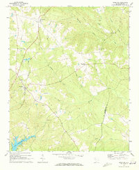 1970 Cross Hill1973 Print · USGSCovers Cross Hill, including Milton, Greenwood, and other nearby areas
 - 1971 Map of Waterloo, 1975 Print
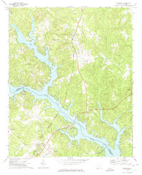 1971 Waterloo1975 Print · USGSCovers Cross Hill, including Greenwood, Waterloo, and other nearby areas
 - 1979 Map of Abbeville, 1980 Print
 1979 Abbeville1980 Print · USGSCovers Cross Hill, including Anderson, Greenwood, and other nearby areas2 unique versions available
 - 1986 Map of Newberry
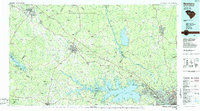 1986 Newberry1986 Print · USGSCovers Cross Hill, including Columbia, Lexington, and other nearby areas2 unique versions available
 - 2024 Map of Waterloo, 2024 Print
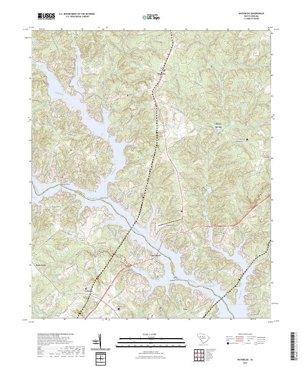 2024 Waterloo2024 Print · USGSCovers Cross Hill, including Greenwood, Waterloo, and other nearby areas
 - 2024 Map of Cross Hill, 2024 Print
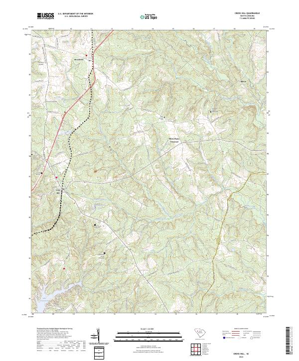 2024 Cross Hill2024 Print · USGSCovers Cross Hill, including White Plains Crossroad, Milton, and other nearby areas
End of results
Showing maps 1-14 of 14
Top cities near Cross Hill
- Greenwood historical maps
- Laurens historical maps
- Clinton historical maps
- Ninety Six historical maps
- Joanna historical maps
- Waterloo historical maps
See more
Frequently asked questions
- What are the different types of historical maps available for Cross Hill?
- What is the oldest map of Cross Hill?
- Where can I purchase historical maps of Cross Hill for my home or office?
- Where can I download high-res historical maps of Cross Hill?
- Are there historical topographic maps available for Cross Hill?
- Is there historical aerial imagery available for Cross Hill?
- Where are historical maps of Cross Hill sourced from?