Old Maps of Bishopville, South Carolina for Academic Research
Study the evolution of Bishopville with 19 high-resolution historic maps. Whether you're teaching, researching, or modeling changes in land use, these maps provide essential visual documentation of urban, environmental, and geographic change.
- Analyze long-term change: Track patterns in development, transportation, and natural features.
- Ideal for environmental or urban studies: Support academic projects with primary historical map data.
- Use in the classroom or lab: Educators and researchers rely on these maps to bring historical context to life.
These maps are a powerful tool for teaching, research, and visualizing how Bishopville has changed over the decades.
Bishopville, SC maps
(19)- 1941 Map of Spartanburg
 1941 Spartanburg1941 Print · USGSSouth Carolina’s Piedmont and Sandhills regions are shown here during the mid-century peak of the rail era. Researchers can trace the sprawling Fort Jackson Military Reservation and the industrial growth of hubs like Spartanburg and Rock Hill.
 - 1953 Map of Spartanburg, 1966 Print
 1953 Spartanburg1966 Print · USGSMid-century South Carolina comes into focus through this survey of the Piedmont and the Sand Hills at a time of significant reservoir expansion. Researchers can trace the legacy of industrial transit and resource extraction from the Haile Gold Mine to the rail hubs of the Seaboard Air Line.4 unique versions available
 - 1957 Map of Ashwood, 1958 Print
 1957 Ashwood1958 Print · USGSThe rural landscapes of Lee and Sumter counties are captured here in the late fifties, during an era of significant agricultural and social transition. Researchers can trace the legacy of New Deal planning at Ashwood, locate family roots at Bethlehem Cems, or follow the Seaboard Air Line through Bishopville.2 unique versions available
 - 1960 Map of Spartanburg
 1960 Spartanburg1960 Print · USGSThe South Carolina Piedmont and North Carolina borderlands come alive in this mid-century survey of the region between Spartanburg and Columbia. Researchers can trace the Seaboard Air Line railroad and explore landmarks like Anderson Quarry, Lake Murray, and Mount Croghan.2 unique versions available
 - 1963 Map of Spartanburg
 1963 Spartanburg1963 Print · USGSMid-century South Carolina comes alive in this survey, showing the rail-linked corridor between the Upstate and the Midlands. Genealogists can trace family lands near old hubs like Union and Lancaster, or along the banks of the Broad River and Pee Dee River.
 - 1964 Map of Spartanburg
 1964 Spartanburg1964 Print · USGSMid-century South Carolina comes alive in this survey of the Piedmont and Upcountry, stretching from the Blue Ridge foothills to the Sandhills. Genealogists and historians can trace the rail-and-river economy through Monarch Mills, Glenn Springs, and the Southern Railway corridor.
 - 1969 Map of Bishopville East, 1974 Print
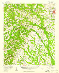
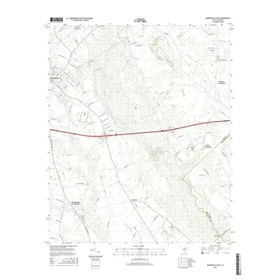
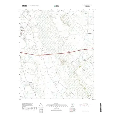
 1969 Bishopville East1974 Print · USGSLee County and the Lynches River basin are captured here in the late sixties as the region balanced its agricultural roots with new infrastructure. Genealogists and local historians can trace family sites at McCutchens Crossroads or locate rural landmarks like St Pauls No 1 Ch and Wisacky.2 unique versions available
 - 1986 Map of Camden South
 1986 Camden South1986 Print · USGSThe South Carolina midlands come into focus in the mid-eighties, showing the sprawling corridors between the Wateree and Lynches Rivers. Genealogists and historians can trace family roots through numerous mill sites and rural junctions like Boykin, Lucknow, and Hermitage Mill Pond.4 unique versions available
 - 1988 Map of Bishopville West
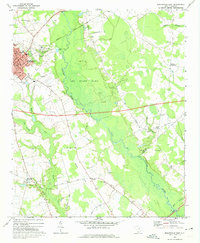
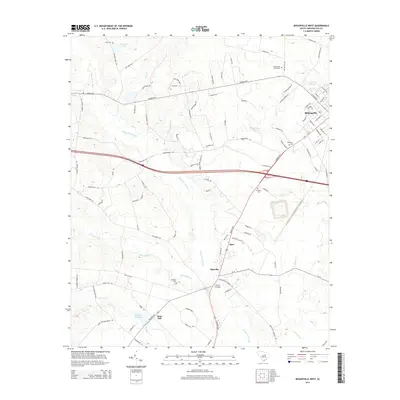
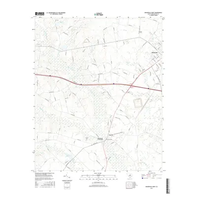
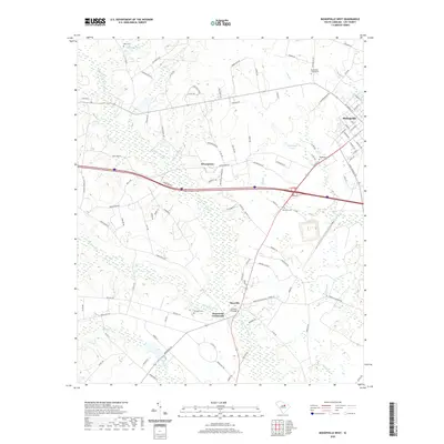
 1988 Bishopville West1988 Print · USGSLee County near the close of the twentieth century remains a landscape of quiet crossroads and winding wetlands. Researchers can trace the drainage of Scape Ore Swamp and locate rural landmarks like McGrits Millpond and Hammetts Crossroads.
 - 2011 Map of Bishopville East, 2011 Print
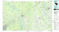
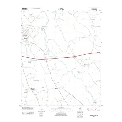 2011 Bishopville East2011 Print · USGSCovers Bishopville, including Wisacky, McCutchens Crossroads, and other nearby areas
 - 2011 Map of Bishopville West, 2011 Print
 2011 Bishopville West2011 Print · USGSCovers Bishopville, including Rose Hill, Hammetts Crossroads, and other nearby areas
 - 2014 Map of Bishopville East, 2014 Print
 2014 Bishopville East2014 Print · USGSCovers Bishopville, including Wisacky, McCutchens Crossroads, and other nearby areas
 - 2014 Map of Bishopville West, 2014 Print
 2014 Bishopville West2014 Print · USGSCovers Bishopville, including Rose Hill, Hammetts Crossroads, and other nearby areas
 - 2017 Map of Bishopville East, 2017 Print
 2017 Bishopville East2017 Print · USGSCovers Bishopville, including Wisacky, McCutchens Crossroads, and other nearby areas
 - 2017 Map of Bishopville West, 2017 Print
 2017 Bishopville West2017 Print · USGSCovers Bishopville, including Rose Hill, Hammetts Crossroads, and other nearby areas
 - 2020 Map of Bishopville East, 2020 Print
 2020 Bishopville East2020 Print · USGSCovers Bishopville, including Wisacky, McCutchens Crossroads, and other nearby areas
 - 2020 Map of Bishopville West, 2020 Print
 2020 Bishopville West2020 Print · USGSCovers Bishopville, including Rose Hill, Hammetts Crossroads, and other nearby areas
 - 2024 Map of Bishopville West, 2024 Print
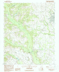
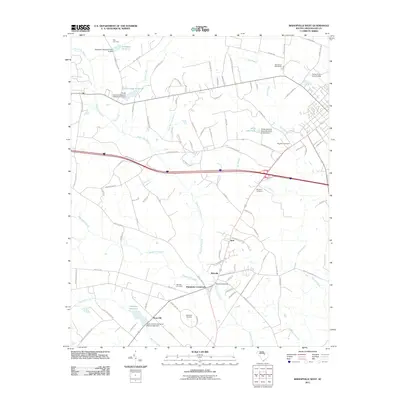
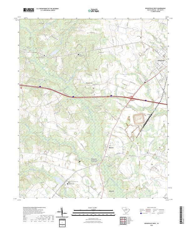 2024 Bishopville West2024 Print · USGSLee County's agricultural heartland is documented here in the early twenty-first century, showing the rural landscape west of the county seat. Researchers can trace family history through numerous burial sites like Whilden Cem and Rose Hill Plantation Cem.
 - 2024 Map of Bishopville East, 2024 Print
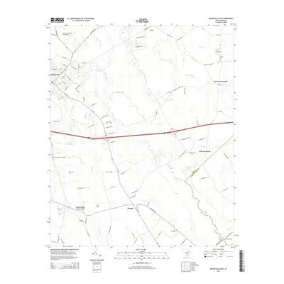
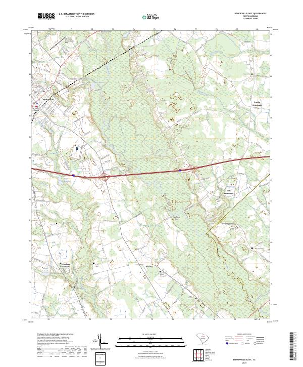 2024 Bishopville East2024 Print · USGSThe Lee County countryside near Bishopville is captured here in the modern era, showing a landscape defined by river swamps and historic crossroads. Genealogists can locate family sites at Saint Paul Church Graveyard, Cypress Cem, and McCutchens Crossroads.
End of results
Showing maps 1-19 of 19
Top cities near Bishopville
Frequently asked questions
- What are the different types of historical maps available for Bishopville?
- What is the oldest map of Bishopville?
- Where can I purchase historical maps of Bishopville for my home or office?
- Where can I download high-res historical maps of Bishopville?
- Are there historical topographic maps available for Bishopville?
- Is there historical aerial imagery available for Bishopville?
- Where are historical maps of Bishopville sourced from?