2020s Maps of Lexington County, South Carolina
Explore 46 historic maps of Lexington County from the 2020s. These maps offer a rare glimpse into what life looked like during the 2020s — showing old roads, neighborhoods, homes, and landmarks that have changed or disappeared over time.
Whether you're researching your family's past, planning a metal detecting trip, or studying how Lexington County's landscape evolved across the 2020s, these high-resolution maps are a powerful tool for exploring the history of this region.
- Focus on a specific era: All maps on this page are from the 2020s, giving you a focused view of this time period.
- See what’s changed: Compare century-old streets, trails, and buildings to today's modern landscape using overlays and satellite layers.
- Research with precision: Use these maps for genealogy, historical research, land use analysis, or educational projects.
- View, download, or print: Maps are fully viewable online in high resolution, and can be downloaded or printed for your own records.
Start exploring Lexington County's history through authentic maps from the 2020s. This is your window into the past.
Lexington County, SC maps
(46)- 2020 Map of Saylors Lake, 2020 Print
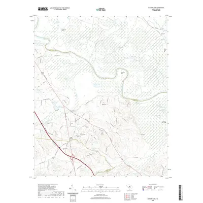 2020 Saylors Lake2020 Print · USGSCovers Lexington County, including Sandy Run, Oak Grove, and other nearby areas
 - 2020 Map of Staley Crossroads, 2020 Print
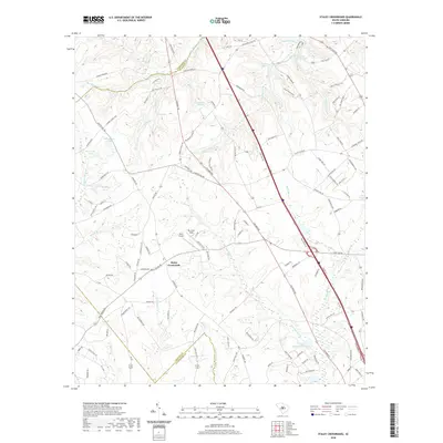 2020 Staley Crossroads2020 Print · USGSCovers Lexington County, including Staley Crossroads, Calhoun County, and other nearby areas
 - 2020 Map of Pelion East, 2020 Print
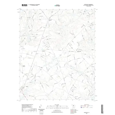 2020 Pelion East2020 Print · USGSCovers Lexington County, including Pelion, Macedon, and other nearby areas
 - 2020 Map of Seivern, 2020 Print
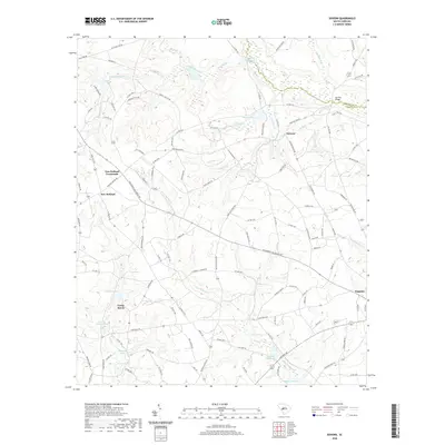 2020 Seivern2020 Print · USGSCovers Lexington County, including Wagener, Todd, and other nearby areas
 - 2020 Map of Steedman, 2020 Print
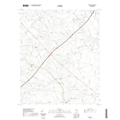 2020 Steedman2020 Print · USGSCovers Lexington County, including Steedman, Rayflin, and other nearby areas
 - 2020 Map of Lexington, 2020 Print
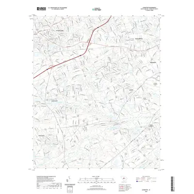 2020 Lexington2020 Print · USGSCovers Lexington County, including Lexington, Cayce, and other nearby areas
 - 2020 Map of Pond Branch, 2020 Print
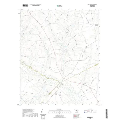 2020 Pond Branch2020 Print · USGSCovers Lexington County, including Swansea, Pelion, and other nearby areas
 - 2020 Map of Gilbert, 2020 Print
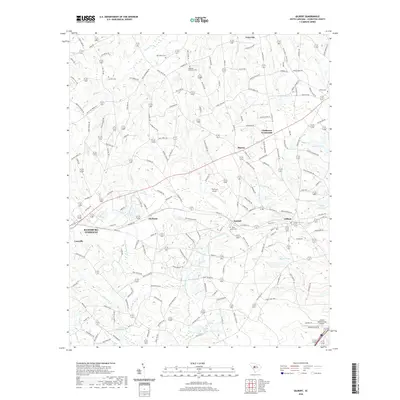 2020 Gilbert2020 Print · USGSCovers Lexington County, including Gilbert, Summit, and other nearby areas
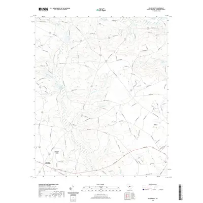
 - 2020 Map of Barr Lake, 2020 Print
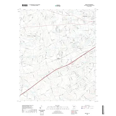 2020 Barr Lake2020 Print · USGSCovers Lexington County, including Lexington, Barr Crossing, and other nearby areas
 - 2020 Map of Southwest Columbia, 2020 Print
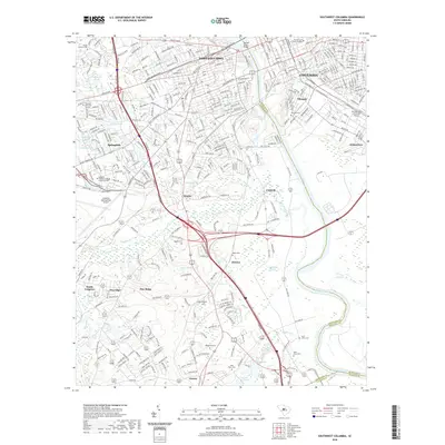 2020 Southwest Columbia2020 Print · USGSCovers Lexington County, including Columbia, West Columbia, and other nearby areas
 - 2020 Map of Swansea, 2020 Print
 2020 Swansea2020 Print · USGSCovers Lexington County, including Swansea, North, and other nearby areas
 - 2020 Map of Pelion West, 2020 Print
 2020 Pelion West2020 Print · USGSCovers Lexington County, including Pelion, Fairview Crossroads, and other nearby areas
 - 2020 Map of Gaston, 2020 Print
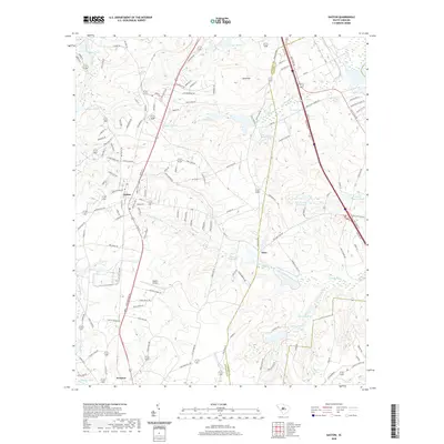 2020 Gaston2020 Print · USGSCovers Lexington County, including Gaston, Swansea, and other nearby areas
 - 2020 Map of Monetta, 2020 Print
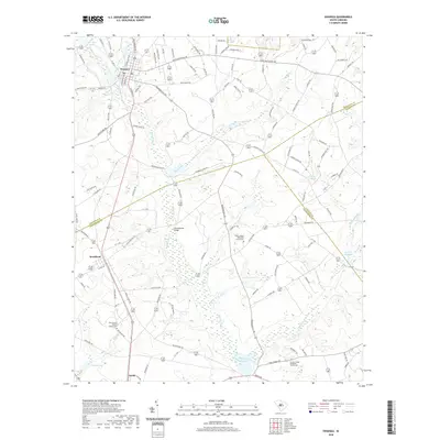
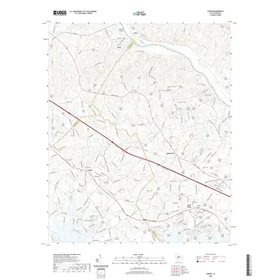
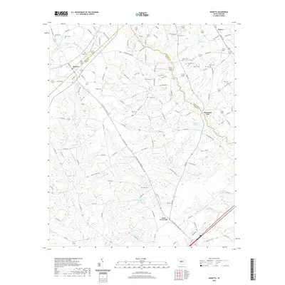 2020 Monetta2020 Print · USGSCovers Lexington County, including Jones Crossroads, Kneece, and other nearby areas
 - 2020 Map of Batesburg, 2020 Print
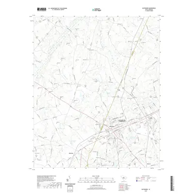 2020 Batesburg2020 Print · USGSCovers Lexington County, including Holston Crossroads, Batesburg, and other nearby areas
 - 2020 Map of Wagener, 2020 Print
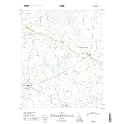 2020 Wagener2020 Print · USGSCovers Lexington County, including Wagener, Perry, and other nearby areas
 - 2020 Map of Chapin, 2020 Print
 2020 Chapin2020 Print · USGSCovers Lexington County, including Chapin, Peak, and other nearby areas
 - 2020 Map of Irmo, 2020 Print
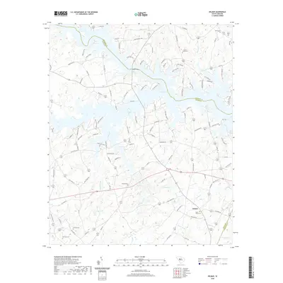
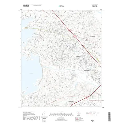 2020 Irmo2020 Print · USGSCovers Lexington County, including Columbia, Lexington, and other nearby areas
 - 2020 Map of Lake Murray West, 2020 Print
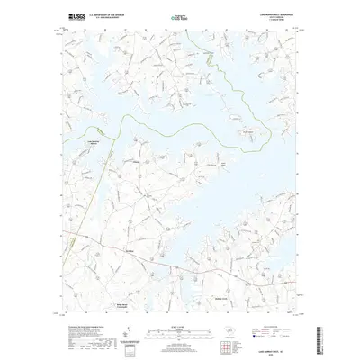 2020 Lake Murray West2020 Print · USGSCovers Lexington County, including Snug Harbor, Jug Hole, and other nearby areas
 - 2020 Map of Little Mountain, 2020 Print
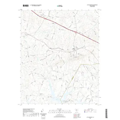 2020 Little Mountain2020 Print · USGSCovers Lexington County, including Little Mountain, Slighs, and other nearby areas
 - 2020 Map of Columbia North, 2020 Print
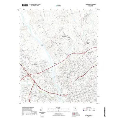 2020 Columbia North2020 Print · USGSCovers Lexington County, including Columbia, West Columbia, and other nearby areas
 - 2020 Map of Delmar, 2020 Print
 2020 Delmar2020 Print · USGSCovers Lexington County, including Wyses Ferry, Saluda County, and other nearby areas
 - 2020 Map of Lake Murray East, 2020 Print
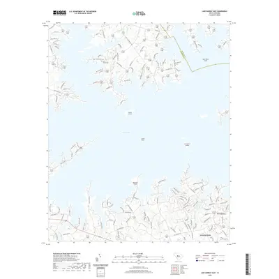 2020 Lake Murray East2020 Print · USGSCovers Lexington County, including Lexington, Lake Point, and other nearby areas
 - 2024 Map of Pelion West, 2024 Print
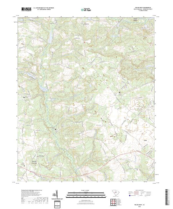 2024 Pelion West2024 Print · USGSThe rural heart of Lexington County is captured here in its modern form, centered on the historic town of Pelion. Family researchers can locate numerous burial sites and landmarks like Boiling Springs United Methodist Cem and Clarks Millpond.
 - 2024 Map of Pond Branch, 2024 Print
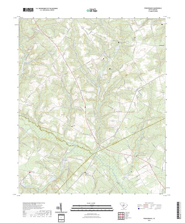 2024 Pond Branch2024 Print · USGSThe rural borders of Lexington, Aiken, and Orangeburg counties meet here in the contemporary era. Researchers can trace local lineage through numerous documented sites like Central Church Graveyard, Leaird Cem, and Pooles Upper Millpond.
Showing maps 1-25 of 46
Top cities of Lexington County
- Lexington historical maps
- West Columbia historical maps
- Cayce historical maps
- Springdale historical maps
- South Congaree historical maps
- Pine Ridge historical maps
See more
Frequently asked questions
- What are the different types of historical maps available for Lexington County?
- What is the oldest map of Lexington County?
- Where can I purchase historical maps of Lexington County for my home or office?
- Where can I download high-res historical maps of Lexington County?
- Are there historical topographic maps available for Lexington County?
- Is there historical aerial imagery available for Lexington County?
- Where are historical maps of Lexington County sourced from?