2020s Maps of Marlboro County, South Carolina
Explore 31 historic maps of Marlboro County from the 2020s. These maps offer a rare glimpse into what life looked like during the 2020s — showing old roads, neighborhoods, homes, and landmarks that have changed or disappeared over time.
Whether you're researching your family's past, planning a metal detecting trip, or studying how Marlboro County's landscape evolved across the 2020s, these high-resolution maps are a powerful tool for exploring the history of this region.
- Focus on a specific era: All maps on this page are from the 2020s, giving you a focused view of this time period.
- See what’s changed: Compare century-old streets, trails, and buildings to today's modern landscape using overlays and satellite layers.
- Research with precision: Use these maps for genealogy, historical research, land use analysis, or educational projects.
- View, download, or print: Maps are fully viewable online in high resolution, and can be downloaded or printed for your own records.
Start exploring Marlboro County's history through authentic maps from the 2020s. This is your window into the past.
Marlboro County, SC maps
(31)- 2020 Map of Drake, 2020 Print
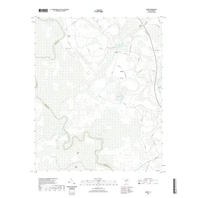 2020 Drake2020 Print · USGSThe Great Pee Dee River floodplain in Marlboro County is captured here in the early twenty-first century as it winds past the bend at Culps Neck. Genealogists and local historians can trace family ties at the Parnassus Graveyard or explore the rural surroundings of Drake and Genoa.
 - 2020 Map of Mont Clare, 2020 Print
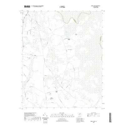 2020 Mont Clare2020 Print · USGSThe South Carolina Coastal Plain along the Darlington and Marlboro county line is captured here in the early 21st century. Researchers can locate family landmarks like the Governor Williams Cem or trace the drainage of Buckholtz Cr and Devils Woodyard Bay.
 - 2020 Map of Society Hill, 2020 Print
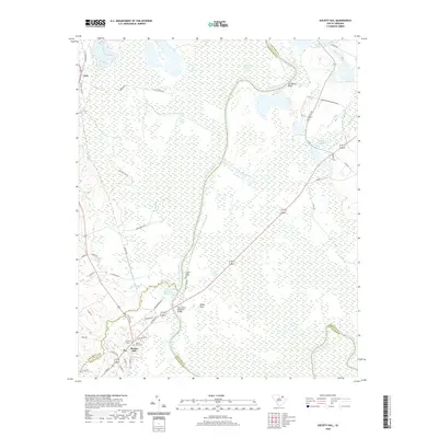 2020 Society Hill2020 Print · USGSThe river lowlands around Society Hill are captured here as they appeared in 2020, centered on the historic bends of the Great Pee Dee River. Genealogists and local historians can locate Colonel Kolbs Tomb, Trinity Cem, and the old milling sites at Mathesons Millpond.
 - 2020 Map of Wallace, 2020 Print
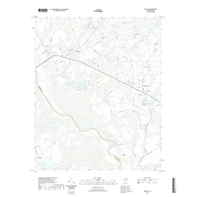 2020 Wallace2020 Print · USGSMarlboro and Chesterfield counties meet at the Great Pee Dee River in this modern survey. Genealogists can locate family landmarks like McQuage Cem and Quick Cem, or trace early industry at Andersons Millpond.
 - 2020 Map of Cheraw, 2020 Print
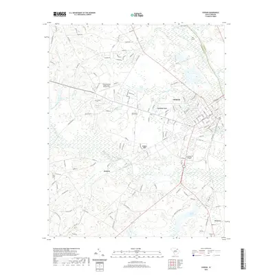 2020 Cheraw2020 Print · USGSCheraw and its surrounding South Carolina lowlands are captured here in the modern era as the city expands beyond its riverfront roots. Researchers can locate family sites and local landmarks from Saint Davids Cem to Northeastern Technical College and Fisher Hill.
 - 2020 Map of Bingham, 2020 Print
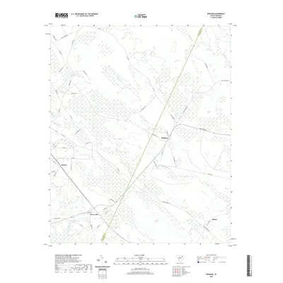 2020 Bingham2020 Print · USGSCoastal plain settlements like Bingham and Bristow are documented here during the early twenty-first century. Genealogists and local historians can trace family-named routes and landmark water features like Hugh Driggers Pond and Catfish Bay.
 - 2020 Map of Bennettsville North, 2020 Print
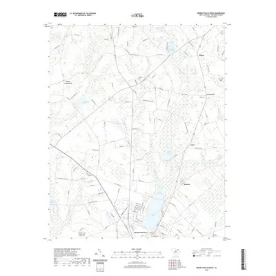 2020 Bennettsville North2020 Print · USGSMarlboro County's coastal plain landscape is documented here in the modern era as it balances historic rural settlements with the growth of the county seat. Researchers can locate numerous family-named landmarks and burial grounds, including Ideal Cem, Quick Crossroads, and the waters of Lake Wallace.
 - 2020 Map of Clio, 2020 Print
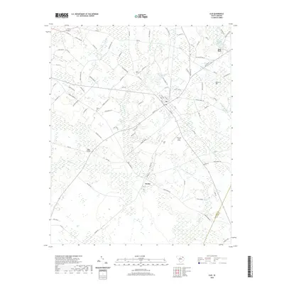 2020 Clio2020 Print · USGSMarlboro County settlements like Clio and Red Bluff are documented here in the modern era, showing the intersection of rural agriculture and local aviation. Genealogists can trace family landmarks and burial sites including Quick Cem, Hebron Cem, and Lucas Cem.
 - 2020 Map of Bennettsville South, 2020 Print
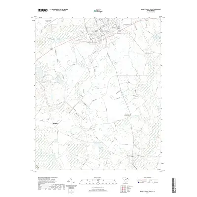 2020 Bennettsville South2020 Print · USGSCoastal plain agriculture and small-town South Carolina life are captured here in the 2020s. Researchers can trace local lineage through Evergreen Cem or explore the rural surroundings of Blenheim, Scott, and the waters of McCalls Millpond.
 - 2020 Map of Minturn, 2020 Print
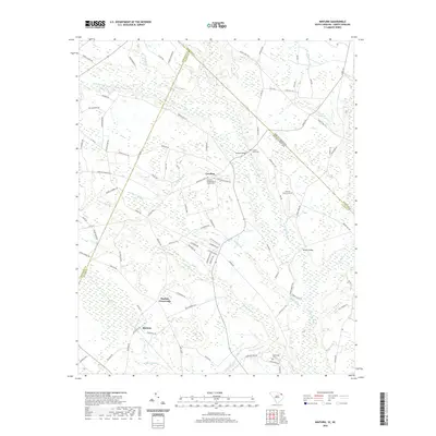 2020 Minturn2020 Print · USGSThe borderlands of the Carolinas are shown here in modern detail, where the Little Pee Dee River and Sweat Swamp shape the rural landscape. Researchers can locate local landmarks like Carolina Presbyterian Church and historic crossings at McInnis Bridge.
 - 2020 Map of McColl, 2020 Print
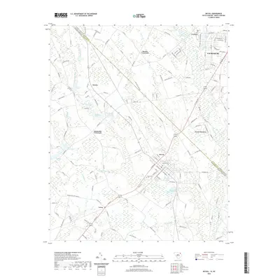 2020 McColl2020 Print · USGSThe North Carolina and South Carolina border is captured here during a period of modern mapping that preserves many historic family landmarks. Researchers can trace ancestral sites through McLaurin Cem, explore the areas around McColl, or locate old industrial water sites like McNairs Millpond.
 - 2020 Map of Witherspoon Island, 2020 Print
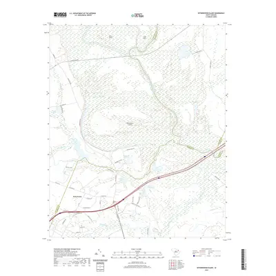 2020 Witherspoon Island2020 Print · USGSThe Pee Dee riverfront at the junction of Florence and Darlington counties is captured here in its modern state. Genealogists and researchers can trace the intricate river lands of Witherspoon Island and Byrds Island, or locate sites near Back Swamp and Wachovia Bluff.
 - 2020 Map of Oak Grove, 2020 Print
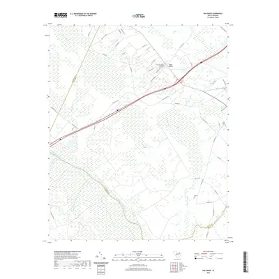 2020 Oak Grove2020 Print · USGSDillon County's river-bottom lands are shown here in the contemporary era, where the Great Pee Dee River meets vast wetlands. Researchers can locate family landmarks like Haselden Cem, Saint George Cem, and the Bethesda Southern Methodist Church.
 - 2022 Map of Ghio, 2022 Print
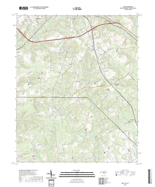 2022 Ghio2022 Print · USGSThe Carolina borderlands near the Richmond and Marlboro county lines are shown here as they appeared recently, centered on the crossroads of Ghio Scholl Station. Family historians can locate numerous rural burial sites and congregations such as Waymon Chapel Cem and Grace Chapel Church.
 - 2022 Map of Gibson, 2022 Print
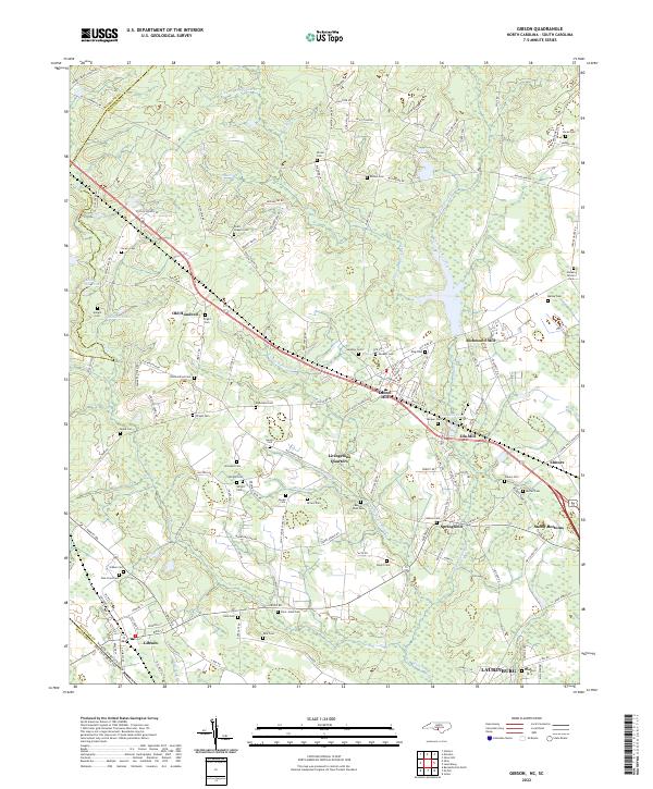 2022 Gibson2022 Print · USGSThe North Carolina borderlands around Gibson and LAURINBURG were shaped by a legacy of mills and family-run homesteads. Historians can trace early industry and kinship through Richmond Mill, Ida Mill, and numerous burial grounds like Old Hundred Cem and Saint Johns Cem.
 - 2022 Map of Diggs, 2022 Print
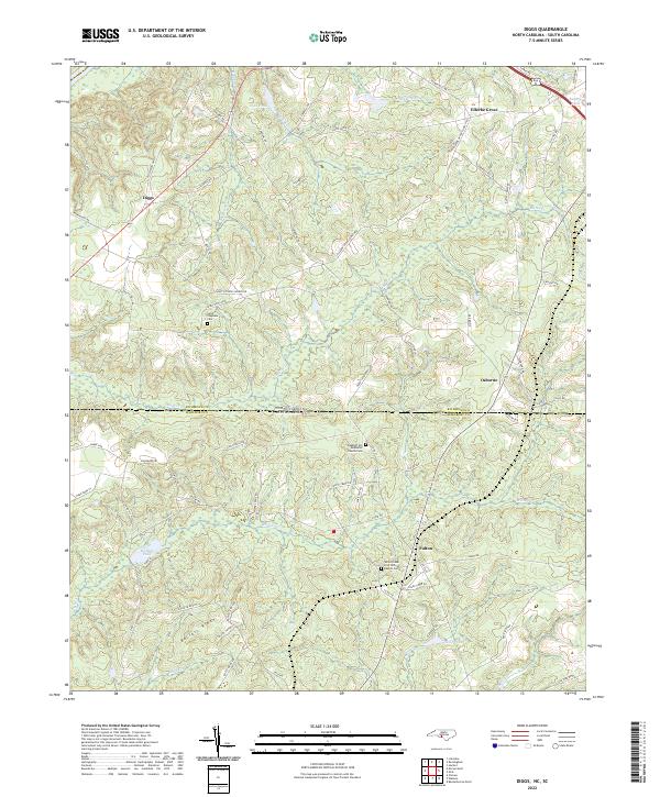 2022 Diggs2022 Print · USGSThe Carolina borderlands come into focus in this recent study of the rural terrain between Richmond and Marlboro counties. Researchers can locate family landmarks such as White Creek Free Will Baptist Cem, the Seaboard rail line, and the settlement of Diggs.
 - 2022 Map of Morven East, 2022 Print
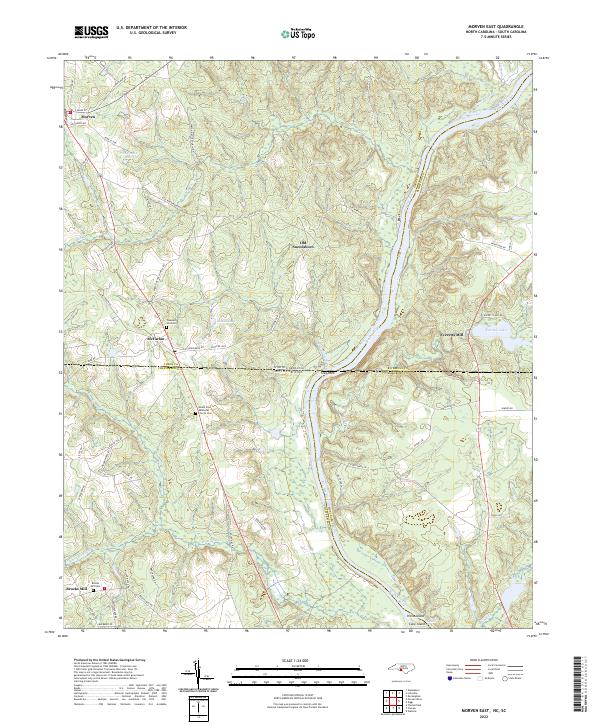 2022 Morven East2022 Print · USGSThe North and South Carolina borderlands come alive in this survey of the Pee Dee River corridor. Researchers can trace the heritage of old river settlements like Old Sneedsboro and find family-named landmarks such as Brocks Mill and Mount Zion Methodist Church Cem.
 - 2022 Map of Johns, 2022 Print
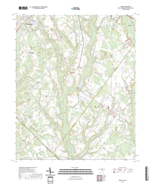 2022 Johns2022 Print · USGSThe North Carolina and South Carolina borderlands come into focus in this contemporary study of the Laurinburg and Johns area. Researchers can trace local heritage at Stewartsville Cem and explore community landmarks like Saint Andrews University and Johns Pond.
 - 2024 Map of Clio, 2024 Print
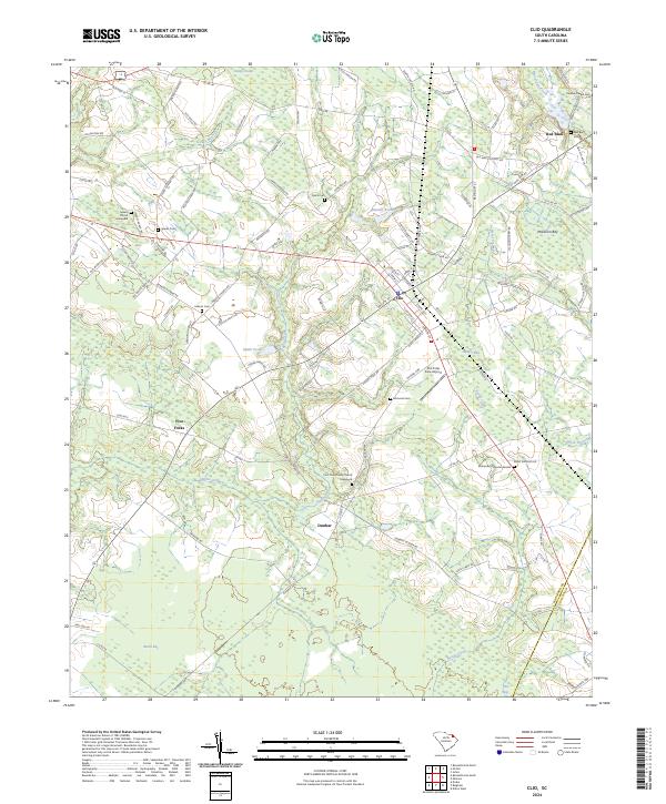 2024 Clio2024 Print · USGSThe crossroads of Marlboro and Dillon counties are captured here in the early 2020s, revealing a landscape of rural settlements and coastal plain wetlands. Genealogists can locate family landmarks like Spears Graveyard, Hebron Cem, and the small community of Dunbar.
 - 2024 Map of Bennettsville North, 2024 Print
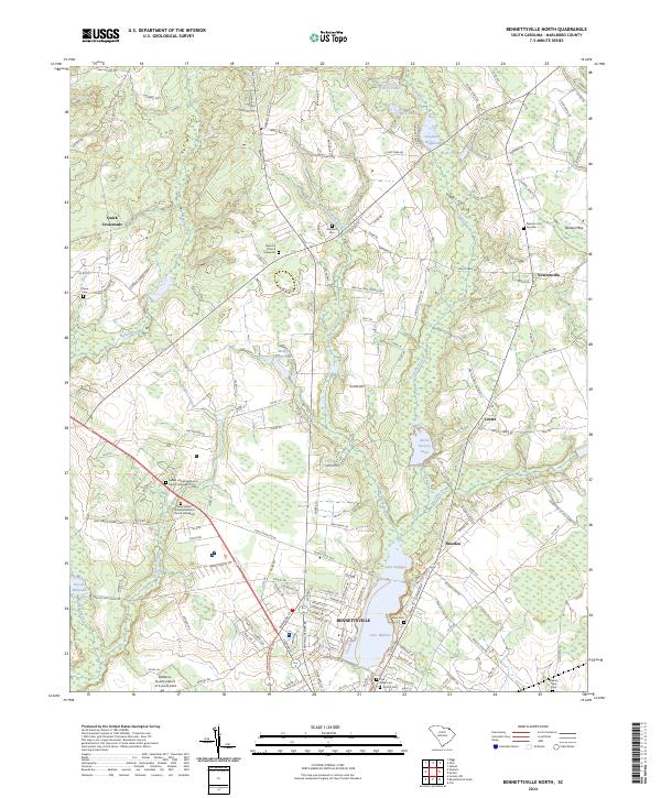 2024 Bennettsville North2024 Print · USGSMarlboro County’s agricultural heartland and the fringes of Bennettsville are captured here in the contemporary era. Genealogists can trace family heritage through numerous burial sites like Newton Cem Number 1 and New Hill Church Graveyard.
 - 2024 Map of Minturn, 2024 Print
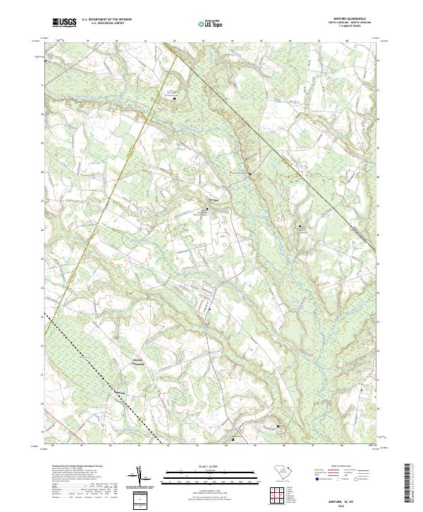 2024 Minturn2024 Print · USGSThe South Carolina and North Carolina borderlands come into focus in this contemporary survey of the Dillon County countryside. Genealogists can trace family footprints through numerous local landmarks, from Sinclair Crossroads to the Leland Grove Church Graveyard and Sherwood Cem.
 - 2024 Map of Wallace, 2024 Print
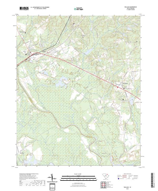 2024 Wallace2024 Print · USGSThe borderlands of Marlboro and Chesterfield counties come into focus in this contemporary survey of rural South Carolina. Researchers can trace family history through numerous churchyards and burial sites such as Gillespie Shipp Cem, Chavistown, and Wallace.
 - 2024 Map of Oak Grove, 2024 Print
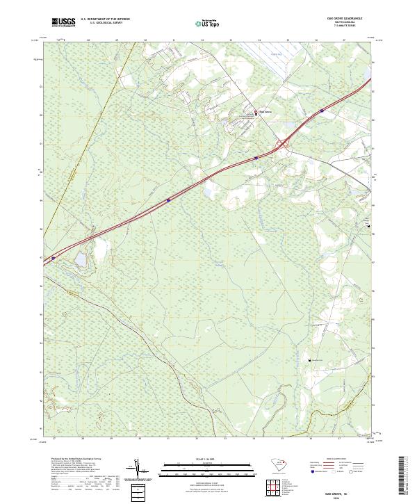 2024 Oak Grove2024 Print · USGSDillon County at the edge of the Pee Dee basin is shown here in contemporary detail, where farmland meets vast wetland systems. Researchers can trace family history at the Bethesda Southern Methodist Church Graveyard or locate old community sites near Haselden Cem and Gum Swamp.
 - 2024 Map of Bennettsville South, 2024 Print
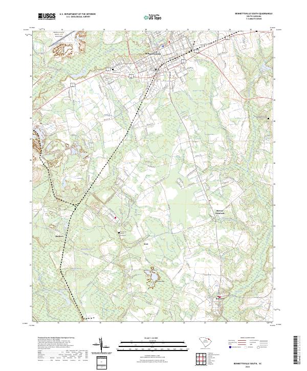 2024 Bennettsville South2024 Print · USGSMarlboro County centers on the growing town of Bennettsville and the rural agricultural tracts of the South Carolina Pee Dee. Genealogists can trace local roots at Evergreen Cem, Macedonia Church, and across the smaller settlements of Blenheim and Scott.
 - 2024 Map of Bingham, 2024 Print
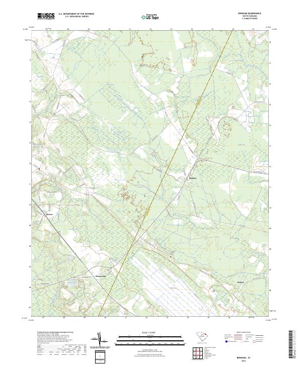 2024 Bingham2024 Print · USGSMarlboro County’s rural interior is documented here in the early twenty-first century, showing a landscape shaped by distinct Carolina bays and small settlements. Researchers can trace family history at the Timothy Rogers Cem or locate old homesteads near Bristow, Bingham, and Mallory.
Showing maps 1-25 of 31
Top cities of Marlboro County
- Bennettsville historical maps
- McColl historical maps
- Clio historical maps
- Blenheim historical maps
- Tatum historical maps
Frequently asked questions
- What are the different types of historical maps available for Marlboro County?
- What is the oldest map of Marlboro County?
- Where can I purchase historical maps of Marlboro County for my home or office?
- Where can I download high-res historical maps of Marlboro County?
- Are there historical topographic maps available for Marlboro County?
- Is there historical aerial imagery available for Marlboro County?
- Where are historical maps of Marlboro County sourced from?