Old Maps of Whitmire, South Carolina for Academic Research
Study the evolution of Whitmire with 25 high-resolution historic maps. Whether you're teaching, researching, or modeling changes in land use, these maps provide essential visual documentation of urban, environmental, and geographic change.
- Analyze long-term change: Track patterns in development, transportation, and natural features.
- Ideal for environmental or urban studies: Support academic projects with primary historical map data.
- Use in the classroom or lab: Educators and researchers rely on these maps to bring historical context to life.
These maps are a powerful tool for teaching, research, and visualizing how Whitmire has changed over the decades.
Whitmire, SC maps
(25)- 1941 Map of Spartanburg
 1941 Spartanburg1941 Print · USGSSouth Carolina’s Piedmont and Sandhills regions are shown here during the mid-century peak of the rail era. Researchers can trace the sprawling Fort Jackson Military Reservation and the industrial growth of hubs like Spartanburg and Rock Hill.
 - 1953 Map of Spartanburg, 1966 Print
 1953 Spartanburg1966 Print · USGSMid-century South Carolina comes into focus through this survey of the Piedmont and the Sand Hills at a time of significant reservoir expansion. Researchers can trace the legacy of industrial transit and resource extraction from the Haile Gold Mine to the rail hubs of the Seaboard Air Line.4 unique versions available
 - 1960 Map of Spartanburg
 1960 Spartanburg1960 Print · USGSThe South Carolina Piedmont and North Carolina borderlands come alive in this mid-century survey of the region between Spartanburg and Columbia. Researchers can trace the Seaboard Air Line railroad and explore landmarks like Anderson Quarry, Lake Murray, and Mount Croghan.2 unique versions available
 - 1963 Map of Spartanburg
 1963 Spartanburg1963 Print · USGSMid-century South Carolina comes alive in this survey, showing the rail-linked corridor between the Upstate and the Midlands. Genealogists can trace family lands near old hubs like Union and Lancaster, or along the banks of the Broad River and Pee Dee River.
 - 1964 Map of Spartanburg
 1964 Spartanburg1964 Print · USGSMid-century South Carolina comes alive in this survey of the Piedmont and Upcountry, stretching from the Blue Ridge foothills to the Sandhills. Genealogists and historians can trace the rail-and-river economy through Monarch Mills, Glenn Springs, and the Southern Railway corridor.
 - 1969 Map of Whitmire South, 1972 Print
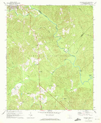 1969 Whitmire South1972 Print · USGSThe Enoree River backcountry of Newberry and Union counties is captured here in the late sixties, just as the national forest interior was being developed. Researchers can trace rural landmarks like Long Lane, Oxner Airfield, and Kings Creek Ch.
 - 1969 Map of Sedalia, 1973 Print
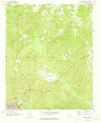
 1969 Sedalia1973 Print · USGSThe South Carolina Piedmont comes into focus in the late sixties as the Enoree and Tyger rivers converge near the borders of Union, Laurens, and Newberry counties. Genealogists can trace family footprints at Old Quaker Cem, Padgetts Creek Ch, and the rural community of Sedalia.2 unique versions available
 - 1970 Map of Whitmire North, 1973 Print
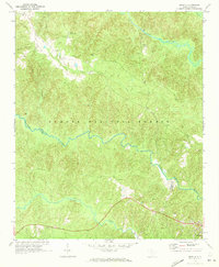
 1970 Whitmire North1973 Print · USGSUnion County during the early 1970s shows a landscape of deep forests and river valleys shaped by the Tyger River. Researchers can trace the legacy of rural communities through sites like Goshen Hill, the Carlisle-Santuc Sch, and several remote family cemeteries.
 - 1986 Map of Spartanburg
 1986 Spartanburg1986 Print · USGSUpstate South Carolina is captured here in the mid-1980s, showcasing the region's transition from a textile-driven rail corridor to a modern interstate hub. Researchers can trace the legacy of the SOUTHERN railroad through mill towns like Glendale or explore the wooded reaches of the Sumter National Forest.2 unique versions available
 - 1986 Map of Newberry
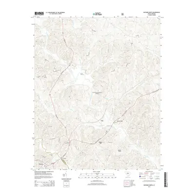
 1986 Newberry1986 Print · USGSSouth Carolina's Piedmont region is shown here in the mid-1980s, revealing a landscape of historic crossroads and industrial mill villages. Researchers can trace family roots through landmarks like Lynch Woods Cem, New Hope Church, and the campus of Presbyterian College.2 unique versions available
 - 2011 Map of Whitmire North, 2011 Print
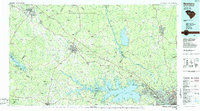
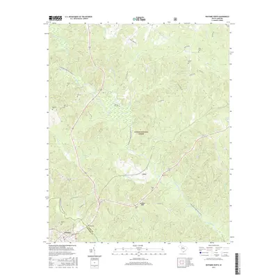
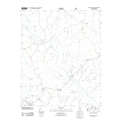 2011 Whitmire North2011 Print · USGSCovers Whitmire, including Beaver Dam, Delta, and other nearby areas
 - 2011 Map of Whitmire South, 2011 Print
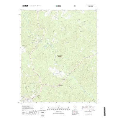
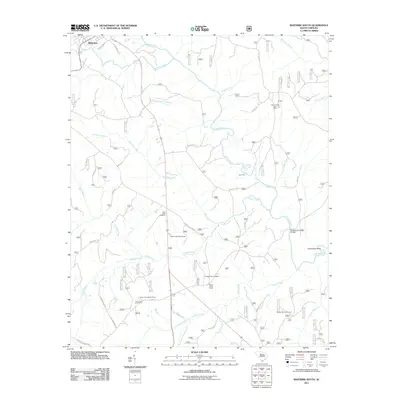 2011 Whitmire South2011 Print · USGSCovers Whitmire, including Union County, Newberry County, and other nearby areas
 - 2011 Map of Sedalia, 2011 Print
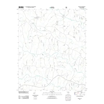 2011 Sedalia2011 Print · USGSCovers Whitmire, including Shady Grove, Adams Ford, and other nearby areas
 - 2014 Map of Whitmire North, 2014 Print
 2014 Whitmire North2014 Print · USGSCovers Whitmire, including Beaver Dam, Delta, and other nearby areas
 - 2014 Map of Sedalia, 2014 Print
 2014 Sedalia2014 Print · USGSCovers Whitmire, including Shady Grove, Adams Ford, and other nearby areas
 - 2014 Map of Whitmire South, 2014 Print
 2014 Whitmire South2014 Print · USGSCovers Whitmire, including Union County, Newberry County, and other nearby areas
 - 2017 Map of Whitmire South, 2017 Print
 2017 Whitmire South2017 Print · USGSCovers Whitmire, including Union County, Newberry County, and other nearby areas
 - 2017 Map of Sedalia, 2017 Print
 2017 Sedalia2017 Print · USGSCovers Whitmire, including Shady Grove, Adams Ford, and other nearby areas
 - 2017 Map of Whitmire North, 2017 Print
 2017 Whitmire North2017 Print · USGSCovers Whitmire, including Beaver Dam, Delta, and other nearby areas
 - 2020 Map of Whitmire North, 2020 Print
 2020 Whitmire North2020 Print · USGSCovers Whitmire, including Beaver Dam, Delta, and other nearby areas
 - 2020 Map of Whitmire South, 2020 Print
 2020 Whitmire South2020 Print · USGSCovers Whitmire, including Union County, Newberry County, and other nearby areas
 - 2020 Map of Sedalia, 2020 Print
 2020 Sedalia2020 Print · USGSCovers Whitmire, including Shady Grove, Adams Ford, and other nearby areas
 - 2024 Map of Whitmire North, 2024 Print
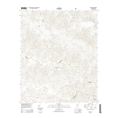
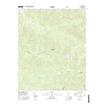
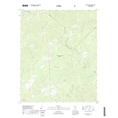
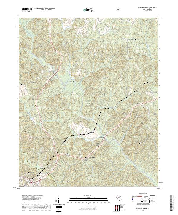 2024 Whitmire North2024 Print · USGSUnion County during the 2020s remains a landscape defined by its deep river valleys and historical family footprints. Genealogists can trace local heritage through sites like the Cane Creek Quaker Church Graveyard, Otterson Fort Cem, and the crossing at Rogers Ferry.
 - 2024 Map of Whitmire South, 2024 Print
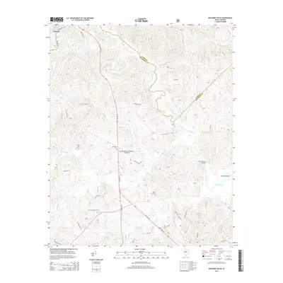
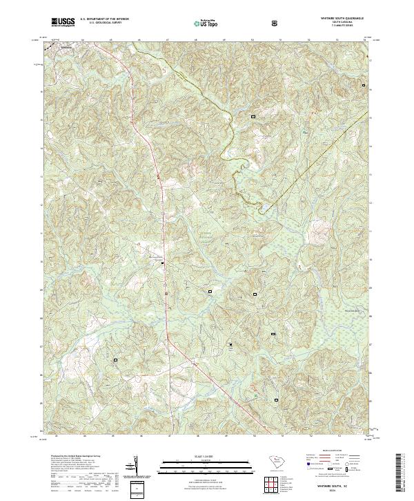 2024 Whitmire South2024 Print · USGSNewberry County's forested uplands and river valleys are captured here in the present day, centered on the southern outskirts of Whitmire. Genealogists and local historians can trace family land proximity to landmarks like the New Hope Church Graveyard, Kings Creek Cem, and the winding Enoree River.
 - 2024 Map of Sedalia, 2024 Print
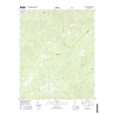
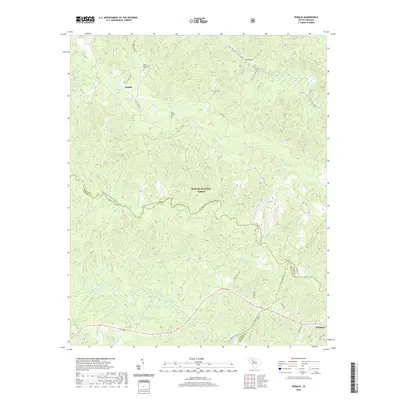
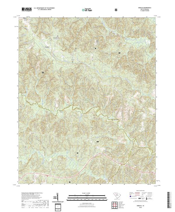 2024 Sedalia2024 Print · USGSThe South Carolina Piedmont comes into focus in this recent survey of the woodlands and river crossings near the Union and Laurens county lines. Researchers can trace ancestral roots through the Gist Family Cem and the Old Quaker Cem or locate historic river points like Browns Ferry.
End of results
Showing maps 1-25 of 25
Top cities near Whitmire
- Newberry historical maps
- Union historical maps
- Clinton historical maps
- Joanna historical maps
- Helena historical maps
- Carlisle historical maps
See more
Frequently asked questions
- What are the different types of historical maps available for Whitmire?
- What is the oldest map of Whitmire?
- Where can I purchase historical maps of Whitmire for my home or office?
- Where can I download high-res historical maps of Whitmire?
- Are there historical topographic maps available for Whitmire?
- Is there historical aerial imagery available for Whitmire?
- Where are historical maps of Whitmire sourced from?