Old Maps of Eastover, South Carolina for Academic Research
Study the evolution of Eastover with 20 high-resolution historic maps. Whether you're teaching, researching, or modeling changes in land use, these maps provide essential visual documentation of urban, environmental, and geographic change.
- Analyze long-term change: Track patterns in development, transportation, and natural features.
- Ideal for environmental or urban studies: Support academic projects with primary historical map data.
- Use in the classroom or lab: Educators and researchers rely on these maps to bring historical context to life.
These maps are a powerful tool for teaching, research, and visualizing how Eastover has changed over the decades.
Eastover, SC maps
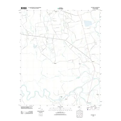
(20)- 1943 Map of Eastover, 1953 Print
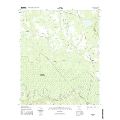
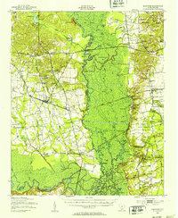 1943 Eastover1953 Print · USGSIn the early 1940s, the rural landscapes of Richland and Sumter counties centered on the river junctions and thriving rail lines. Genealogists can trace family landmarks like Good Hope Ch and Bethel Sch or follow the path of the Kings Highway.
 - 1953 Map of Eastover, 1957 Print
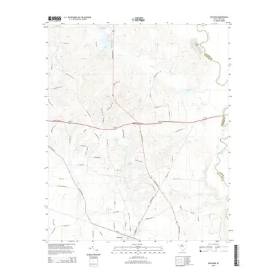
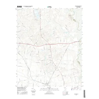
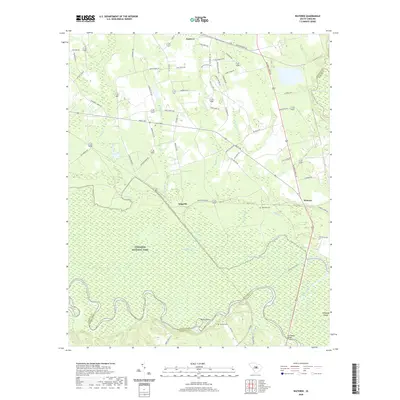
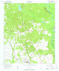 1953 Eastover1957 Print · USGSRichland County at the start of the 1950s reveals a landscape of rural schoolhouses and established country churches near the Wateree basin. Genealogists can trace family roots through landmarks like Goodwill Church, Shiloh School, and the Richland County Chain Gang Camp No. 1.4 unique versions available
 - 1953 Map of Wateree, 1957 Print
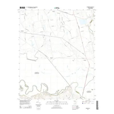
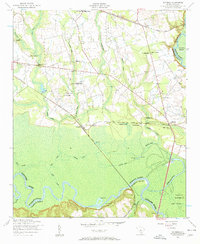 1953 Wateree1957 Print · USGSRichland and Calhoun counties meet here in the early fifties at the confluence of the Congaree and Wateree rivers. Trace the old rail junctions at Kingville and find local history at Joyner Cemetery, Stoney Hill School, and Mount Olive Church.4 unique versions available
 - 1954 Map of Augusta
 1954 Augusta1954 Print · USGSThe Savannah River valley and South Carolina Midlands are captured here during a period of post-war growth. Researchers can trace the rail-and-river economy through the Southern RR corridor and locate historic settlements like Aiken, Orangeburg, and Sumter.
 - 1957 Map of Augusta, 1966 Print
 1957 Augusta1966 Print · USGSThe Savannah River and Santee basins are captured here during a period of massive military and industrial expansion in the late fifties. Genealogists can trace family footprints across Four Hole Swamp or near the Savannah River Plant.3 unique versions available
 - 1958 Map of Augusta
 1958 Augusta1958 Print · USGSThe borderlands between Georgia and South Carolina come alive in the 1950s, showing the early footprint of the Savannah River Plant. Genealogists and historians can trace rail-dependent towns and rural landmarks from Orangeburg to the Fort Jackson Military Reservation.
 - 1961 Map of Augusta
 1961 Augusta1961 Print · USGSThe South Carolina lowcountry and CSRA appear here in the early sixties, during a period of massive military and industrial growth. Researchers can trace the development of the Savannah River Plant or locate legacy landmarks like Nelson Ferry and Magnolia Cemetery.2 unique versions available
 - 1962 Map of Augusta
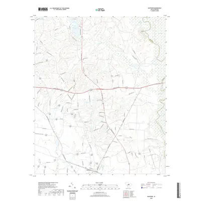
 1962 Augusta1962 Print · USGSThe South Carolina and Georgia borderlands are seen here in the early sixties, showing the rise of the Savannah River Plant and the expansion of Fort Jackson. Researchers can trace old rail lines like the Southern Railway and find landmarks such as St. Pauls Church or the Santee Canal.
 - 1986 Map of Sumter
 1986 Sumter1986 Print · USGSMid-South Carolina in the mid-eighties reveals a landscape of massive river bottomlands and significant military installations. Genealogists and historians can trace the rural networks around Fort Motte, Lone Star, and Sardinia alongside Lake Marion.
 - 1990 Map of Sumter
 1990 Sumter1990 Print · USGSCentral South Carolina's river systems and military landscapes are captured here during the late twentieth century. Genealogists and historians can trace the growth of Sumter or locate rural communities such as Wedgefield and Kingville near the Congaree River.
 - 2011 Map of Eastover, 2011 Print
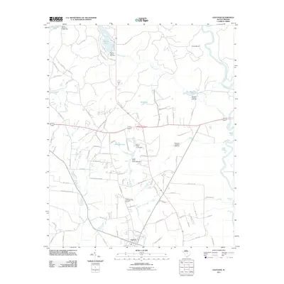 2011 Eastover2011 Print · USGSCovers Eastover, including Richland County, Sumter County, and other nearby areas
 - 2012 Map of Wateree, 2012 Print
 2012 Wateree2012 Print · USGSCovers Eastover, including Wateree, Richland County, and other nearby areas
 - 2014 Map of Eastover, 2014 Print
 2014 Eastover2014 Print · USGSCovers Eastover, including Richland County, Sumter County, and other nearby areas
 - 2014 Map of Wateree, 2014 Print
 2014 Wateree2014 Print · USGSCovers Eastover, including Wateree, Richland County, and other nearby areas
 - 2017 Map of Eastover, 2017 Print
 2017 Eastover2017 Print · USGSCovers Eastover, including Richland County, Sumter County, and other nearby areas
 - 2017 Map of Wateree, 2017 Print
 2017 Wateree2017 Print · USGSCovers Eastover, including Wateree, Richland County, and other nearby areas
 - 2020 Map of Wateree, 2020 Print
 2020 Wateree2020 Print · USGSCovers Eastover, including Wateree, Richland County, and other nearby areas
 - 2020 Map of Eastover, 2020 Print
 2020 Eastover2020 Print · USGSCovers Eastover, including Richland County, Sumter County, and other nearby areas
 - 2024 Map of Eastover, 2024 Print
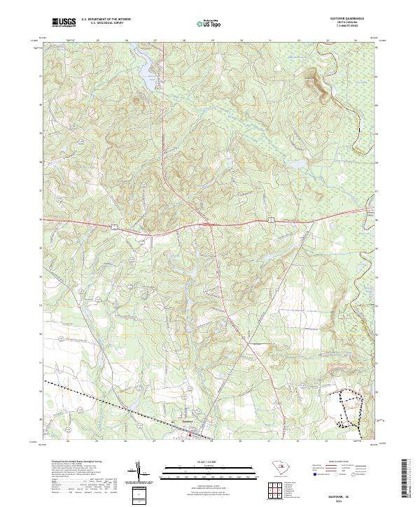 2024 Eastover2024 Print · USGSThe town of Eastover and the rich river bottomlands of the Wateree River are captured here in the early twenty-first century. Researchers can trace local heritage through landmarks like Antioch Amez Church Rd and family-named ponds.
 - 2024 Map of Wateree, 2024 Print
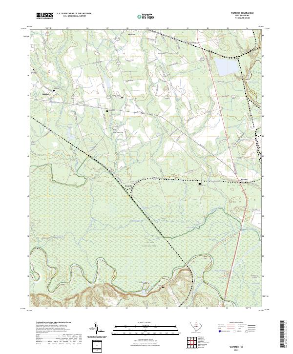 2024 Wateree2024 Print · USGSThe Congaree and Wateree Rivers meet in this 2024 survey of the South Carolina lowlands. Genealogists and researchers can trace local family history through sites like Richland Church Graveyard, Bates Ferry, and Kingville.
End of results
Showing maps 1-20 of 20
Top cities near Eastover
- Columbia historical maps
- Sumter historical maps
- Saint Matthews historical maps
- Pinewood historical maps
Frequently asked questions
- What are the different types of historical maps available for Eastover?
- What is the oldest map of Eastover?
- Where can I purchase historical maps of Eastover for my home or office?
- Where can I download high-res historical maps of Eastover?
- Are there historical topographic maps available for Eastover?
- Is there historical aerial imagery available for Eastover?
- Where are historical maps of Eastover sourced from?