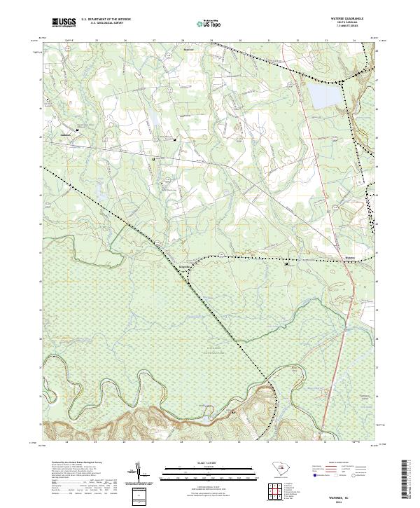
2024 Map of Wateree
USGS Topo · Published 2024About this map
The Congaree River and Wateree River dominate this low-lying landscape, defining the southern and eastern boundaries of a region shaped by complex hydraulics and riverine history. The confluence area is home to the expansive Congaree National Park, where the Congaree National Park Wilderness preserves the floodplain ecology around Cedar Creek, Running Lake, and Big Lake. These wetlands and bottomlands are punctuated by landmarks like Devils Elbow and Sampson Island, reflecting the shifting paths of the water.
Find a feature on this map
90 named features on this map. Tap any name to fly to it.
Don’t see what you’re looking for? This feature index may not catch every label — zoom into the map to look around manually.
Map Details
Editions of this 2024 Wateree Map
This is the sole edition of this map. No revisions or reprints were ever made.
Other maps of this area

1943 · Eastover
USGS Topo · 1:62,500

1946 · Elloree
USGS Topo · 1:62,500

1946 · St. Matthews
USGS Topo · 1:62,500

1948 · Hopkins
USGS Topo · 1:62,500

1953 · Poinsett State Park
USGS Topo · 1:24,000

1953 · Eastover
USGS Topo · 1:24,000

1953 · Wedgefield
USGS Topo · 1:24,000
1953 · Congaree
USGS Topo · 1:24,000

1953 · Gadsden
USGS Topo · 1:24,000

1953 · Wateree
USGS Topo · 1:24,000