
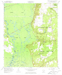
1953 Map of Poinsett State Park
USGS Topo · Published 1957About this map
Manchester State Forest and Poinsett State Park dominate this 1950s landscape, where the high ridges of the Sand Hills drop sharply into the dense bottomlands of the Wateree Swamp. The map details a complex hydrologic network including the Wateree River and Little River, alongside numerous oxbow lakes such as Big Lake and Holly Hill Lake. These waterways defined the local economy and settlement patterns, evidenced by the Lumber Camp and the Riverside Hunting Camp near Ramsey Lake.
Find a feature on this map
56 named features on this map. Tap any name to fly to it.
Don’t see what you’re looking for? This feature index may not catch every label — zoom into the map to look around manually.
Map Details
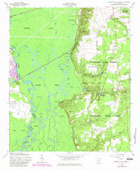
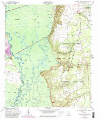
Editions of this 1953 Poinsett State Park Map
4 editions found
Other maps of this area

1943 · Eastover
USGS Topo · 1:62,500

1946 · Elloree
USGS Topo · 1:62,500

1946 · Sumter
USGS Topo · 1:62,500

1953 · Eastover
USGS Topo · 1:24,000

1953 · Wedgefield
USGS Topo · 1:24,000

1953 · Wateree
USGS Topo · 1:24,000

1954 · Augusta
USGS Topo · 1:250,000

1957 · Sumter West
USGS Topo · 1:24,000

1957 · Sumter
USGS Topo · 1:62,500

1957 · Augusta
USGS Topo · 1:250,000