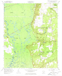
1953 Map of Poinsett State Park
USGS Topo · Published 1977About this map
Wateree Swamp dominates the western half of this South Carolina landscape, where the Wateree River winds through a dense network of braided channels, lakes, and islands. In the early 1950s, the terrain transitions sharply from the low-lying river bottom to the high ground of the Manchester State Forest. This bluff line separates the wetlands from the upland settlements and agricultural patterns. Significant cultural landmarks include the Melrose Historical Home and local spiritual hubs such as Tiverton Church and Saint Augustine Church.
Find a feature on this map
52 named features on this map. Tap any name to fly to it.
Don’t see what you’re looking for? This feature index may not catch every label — zoom into the map to look around manually.
Map Details
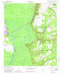
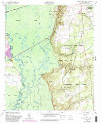
Editions of this 1953 Poinsett State Park Map
4 editions found
Other maps of this area

1943 · Eastover
USGS Topo · 1:62,500

1946 · Elloree
USGS Topo · 1:62,500

1946 · Sumter
USGS Topo · 1:62,500

1953 · Poinsett State Park
USGS Topo · 1:24,000

1953 · Eastover
USGS Topo · 1:24,000

1953 · Wedgefield
USGS Topo · 1:24,000

1953 · Wateree
USGS Topo · 1:24,000

1954 · Augusta
USGS Topo · 1:250,000

1957 · Sumter West
USGS Topo · 1:24,000

1957 · Sumter
USGS Topo · 1:62,500