
Historical Maps of Richland County, South Carolina
What stories do these 118 old maps tell about Richland County's past? From 1904 to present day, these maps reveal the evolution of streets, neighborhoods, iconic landmarks, and natural features in stunning high-res detail. Whether you're a history enthusiast, genealogist, or professional in education, environmental work, or architecture, these maps are perfect for exploration, research, and discovery.
Discover Richland County's history through maps:
- Trace Richland County's growth: Explore earlier and latest maps and editions to uncover how the region changed over time.
- Examine technical details: Each map includes its creators, publishers, scale, dimensions, and full source information.
- Layer maps with modern tools & imagery: Compare historical maps to modern-day with high-resolution satellite imagery and detailed LiDAR layers.
- Sourced from trusted archives: Carefully preserved and digitized by institutions like the United Stated Geological Survey and the US Library of Congress.
- Access in any format: View and explore in high resolution, download for offline use, or order a museum-quality print for yourself or a loved one.
Begin your journey into Richland County's history with these remarkable must-see maps.
Richland County, SC maps
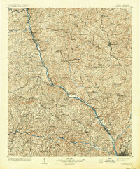
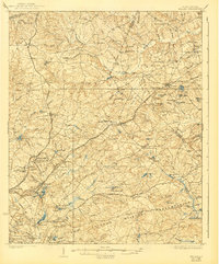
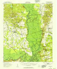
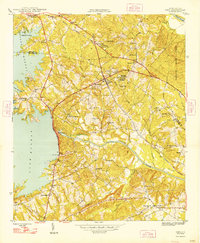
(118)- 1904 Map of Columbia
 1904 Columbia1904 Print · USGSCovers Richland County, including Columbia, Lexington, and other nearby areas
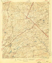
 - 1904 Map of Columbia, 1937 Print
 1904 Columbia1937 Print · USGSCovers Richland County, including Columbia, Lexington, and other nearby areas
 - 1935 Map of Killian
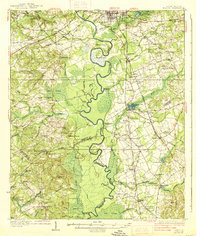
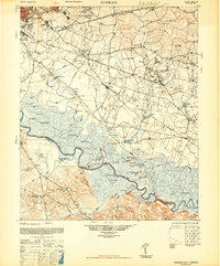
 1935 Killian1935 Print · USGSCovers Richland County, including Columbia, Forest Acres, and other nearby areas
 - 1935 Map of Killian, 1965 Print
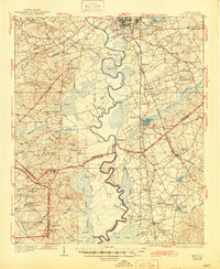
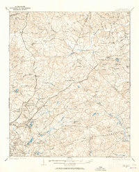 1935 Killian1965 Print · USGSCovers Richland County, including Columbia, Forest Acres, and other nearby areas
 - 1937 Map of Killian
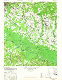
 1937 Killian1937 Print · USGSCovers Richland County, including Columbia, Forest Acres, and other nearby areas
 - 1937 Map of Killian
 1937 Killian1937 Print · USGSCovers Richland County, including Columbia, Forest Acres, and other nearby areas
 - 1937 Map of Killian, 1940 Print
 1937 Killian1940 Print · USGSCovers Richland County, including Columbia, Forest Acres, and other nearby areas
 - 1937 Map of Killian, 1940 Print
 1937 Killian1940 Print · USGSCovers Richland County, including Columbia, Forest Acres, and other nearby areas
 - 1938 Map of Hagood
 1938 Hagood1938 Print · USGSCovers Richland County, including Columbia, Lugoff, and other nearby areas
 - 1938 Map of Hagood, 1945 Print
 1938 Hagood1945 Print · USGSCovers Richland County, including Columbia, Lugoff, and other nearby areas
 - 1941 Map of Spartanburg
 1941 Spartanburg1941 Print · USGSCovers Richland County, including Columbia, Rock Hill, and other nearby areas
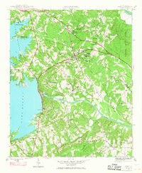
 - 1942 Map of Camden
 1942 Camden1942 Print · USGSCovers Richland County, including Columbia, Forest Acres, and other nearby areas
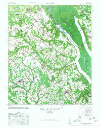
 - 1943 Map of Eastover, 1953 Print
 1943 Eastover1953 Print · USGSCovers Richland County, including Eastover, Wedgewood, and other nearby areas
 - 1944 Map of Edmund, 1966 Print
 1944 Edmund1966 Print · USGSCovers Richland County, including Columbia, Lexington, and other nearby areas
 - 1946 Map of Elloree
 1946 Elloree1946 Print · USGSCovers Richland County, including Elloree, Cameron, and other nearby areas
 - 1946 Map of Elloree
 1946 Elloree1946 Print · USGSCovers Richland County, including Elloree, Cameron, and other nearby areas
 - 1946 Map of Irmo, 1968 Print
 1946 Irmo1968 Print · USGSCovers Richland County, including Columbia, Lexington, and other nearby areas
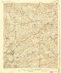
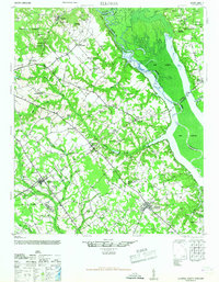
 - 1947 Map of Columbia North, 1965 Print
 1947 Columbia North1965 Print · USGSCovers Richland County, including Columbia, West Columbia, and other nearby areas
 - 1947 Map of Richtex, 1969 Print
 1947 Richtex1969 Print · USGSCovers Richland County, including Columbia, Richtex, and other nearby areas
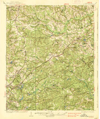
 - 1948 Map of Hopkins
 1948 Hopkins1948 Print · USGSCovers Richland County, including Columbia, Bruner, and other nearby areas
 - 1948 Map of Irmo
 1948 Irmo1948 Print · USGSCovers Richland County, including Columbia, Lexington, and other nearby areas
 - 1948 Map of Columbia North
 1948 Columbia North1948 Print · USGSCovers Richland County, including Columbia, West Columbia, and other nearby areas
 - 1948 Map of Hopkins
 1948 Hopkins1948 Print · USGSCovers Richland County, including Columbia, Bruner, and other nearby areas
 - 1948 Map of Hopkins, 1965 Print
 1948 Hopkins1965 Print · USGSCovers Richland County, including Columbia, Bruner, and other nearby areas
 - 1949 Map of Richtex
 1949 Richtex1949 Print · USGSCovers Richland County, including Columbia, Richtex, and other nearby areas
Showing maps 1-25 of 118
Top cities in Richland County
- Columbia historical maps
- Forest Acres historical maps
- Blythewood historical maps
- Arcadia Lakes historical maps
- Eastover historical maps
Frequently asked questions
- What are the different types of historical maps available for Richland County?
- What is the oldest map of Richland County?
- Where can I purchase historical maps of Richland County for my home or office?
- Where can I download high-res historical maps of Richland County?
- Are there historical topographic maps available for Richland County?
- Is there historical aerial imagery available for Richland County?
- Where are historical maps of Richland County sourced from?