Loading...
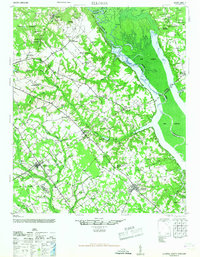
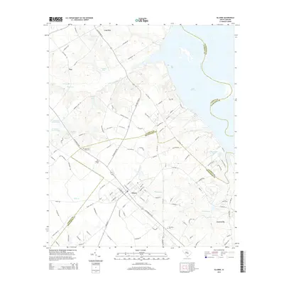
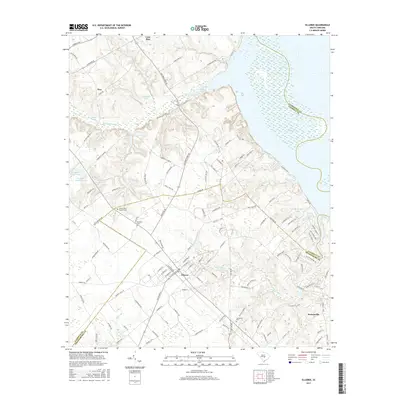
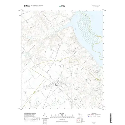
Loading map...1946 Map of Elloree
USGS Topo · Published 1946About this map
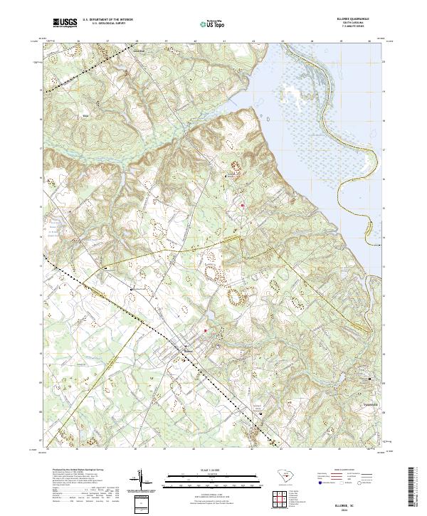
Elloree and the surrounding agricultural landscape of Orangeburg and Calhoun counties appear here during the mid-1940s. The region is defined by the massive expanse of Lake Marion and the Santee River, with the Poinsett State Forest anchoring the northeastern corner. Transportation and commerce center on the Atlantic Coast Line railroad, which connects several smaller settlements including Lone Star, Creston, and Cameron.
Find a feature on this map
87 named features on this map. Tap any name to fly to it.
Don’t see what you’re looking for? This feature index may not catch every label — zoom into the map to look around manually.
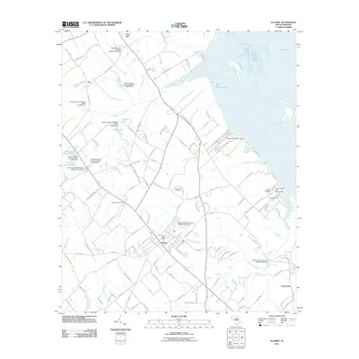
Map Details
Date Portrayed1946
Date Published1946
PublisherU.S. Geological Survey
Map TypeTopographic
Scale1:62,500
Physical Dimensions16.9 x 21.8 inches
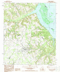
Editions of this 1946 Elloree Map
2 editions found
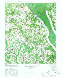
Historical Maps of Elloree Through Time
7 maps found
Featured Locations
Source Details
SourceU.S. Geological Survey
CopyrightPublic Domain