Old Maps of Clover, South Carolina for Academic Research
Study the evolution of Clover with 21 high-resolution historic maps. Whether you're teaching, researching, or modeling changes in land use, these maps provide essential visual documentation of urban, environmental, and geographic change.
- Analyze long-term change: Track patterns in development, transportation, and natural features.
- Ideal for environmental or urban studies: Support academic projects with primary historical map data.
- Use in the classroom or lab: Educators and researchers rely on these maps to bring historical context to life.
These maps are a powerful tool for teaching, research, and visualizing how Clover has changed over the decades.
Clover, SC maps
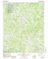
(21)- 1947 Map of Clover, 1956 Print
 1947 Clover1956 Print · USGSThe Carolina Piedmont at the dawn of the postwar era shows a landscape of textile mills and rural farmsteads along the rising waters of the Catawba. Local historians can trace the foundations of the region through landmarks like the State Textile Sch, Boogertown, and the Buster Boyd Bridge.2 unique versions available
 - 1949 Map of Clover
 1949 Clover1949 Print · USGSThe Carolinas' borderlands come alive in the late 1940s as the textile and rail economy centers around Lake Wylie. Researchers can trace old family roots at China Grove Ch, locate the vanished Shiny Eye Sch, or follow the Southern Ry through Belmont and Clover.
 - 1953 Map of Charlotte, 1968 Print
 1953 Charlotte1968 Print · USGSThe North Carolina Piedmont and South Carolina borderlands are shown in detail during a period of significant growth and reservoir development. Trace the rail corridors of the Southern Railway or find family roots in towns like China Grove, Misenheimer, and Lincolnton.3 unique versions available
 - 1954 Map of Charlotte
 1954 Charlotte1954 Print · USGSThe North Carolina Piedmont in the mid-1950s shows a region of rapid growth and industrial expansion centered around Charlotte. Trace the era's infrastructure through the Southern railroad lines and locate significant landmarks like the Charlotte Naval Ammunition Depot and Lake Norman.2 unique versions available
 - 1960 Map of Charlotte
 1960 Charlotte1960 Print · USGSMid-century North Carolina and South Carolina meet in this 1960 survey of the Piedmont's industrial and textile heartland. Trace the growth of Charlotte alongside historic landmarks like Kings Mountain National Military Park and the Charlotte Naval Ammunition Depot.2 unique versions available
 - 1962 Map of Charlotte
 1962 Charlotte1962 Print · USGSThe North Carolina Piedmont in the early sixties showcases a landscape transformed by massive reservoirs and industrial growth. Researchers can trace the development of Lake Norman, locate the Charlotte Naval Ammunition Depot, or find family landmarks like Wesley Chapel and Brown & Norcott Mills.
 - 1973 Map of Gastonia South, 1975 Print
 1973 Gastonia South1975 Print · USGSThe North Carolina and South Carolina borderlands south of Gastonia appear here in the early seventies, capturing the city's suburban reach and industrial growth. Researchers can trace family sites like Firestone Mem Cem or locate the Gastonia Airport and Bowling Green along the SOUTHERN rail line.
 - 1985 Map of Clover
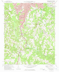
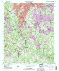
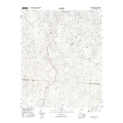
 1985 Clover1985 Print · USGSClover and the surrounding York County countryside are captured here in the mid-eighties as a region of established crossroads and community churches. Genealogists can locate family landmarks such as Clover Chapel Cem and trace the rail paths of the Southern and Carolina and Northwestern.
 - 1986 Map of Gastonia
 1986 Gastonia1986 Print · USGSThe Carolina Piedmont in the mid-eighties shows a landscape shaped by Revolutionary War history and the textile industry. Trace the footprints of early battles at Kings Mountain National Military Park and locate depots along the Southern Railway in Shelby and Gastonia.
 - 1991 Map of Gastonia
 1991 Gastonia1991 Print · USGSThe Piedmont region along the North Carolina and South Carolina border shows a bustling industrial and transit corridor in the early nineties. Researchers can trace the sprawling footprints of Gastonia and Shelby or explore the grounds of Kings Mountain National Military Park and Lake Wylie.
 - 1993 Map of Gastonia South, 1996 Print
 1993 Gastonia South1996 Print · USGSThe North and South Carolina borderlands come into focus in the mid-nineties as Gastonia expands southward. Genealogists and local historians can trace family landmarks like Olney Ch, Firestone Mem Cem, and the old Dismantled Railroad corridor.
 - 2011 Map of Clover, 2011 Print
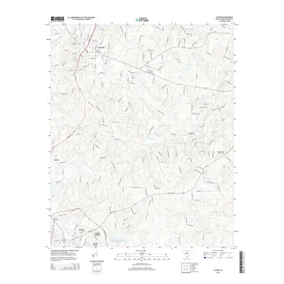
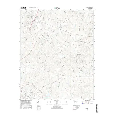
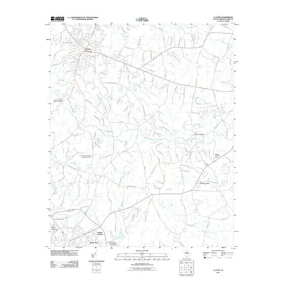 2011 Clover2011 Print · USGSCovers Clover, including York, English Gardens, and other nearby areas
 - 2011 Map of Gastonia South, 2011 Print
 2011 Gastonia South2011 Print · USGSCovers Clover, including Gastonia, Fallcrest, and other nearby areas
 - 2013 Map of Gastonia South, 2013 Print
 2013 Gastonia South2013 Print · USGSCovers Clover, including Gastonia, Fallcrest, and other nearby areas
 - 2014 Map of Clover, 2014 Print
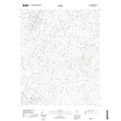
 2014 Clover2014 Print · USGSCovers Clover, including York, English Gardens, and other nearby areas
 - 2016 Map of Gastonia South, 2016 Print
 2016 Gastonia South2016 Print · USGSCovers Clover, including Gastonia, Fallcrest, and other nearby areas
 - 2017 Map of Clover, 2017 Print
 2017 Clover2017 Print · USGSCovers Clover, including York, English Gardens, and other nearby areas
 - 2019 Map of Gastonia South, 2019 Print
 2019 Gastonia South2019 Print · USGSCovers Clover, including Gastonia, Fallcrest, and other nearby areas
 - 2020 Map of Clover, 2020 Print
 2020 Clover2020 Print · USGSCovers Clover, including York, English Gardens, and other nearby areas
 - 2022 Map of Gastonia South, 2022 Print
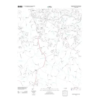
 2022 Gastonia South2022 Print · USGSThe North and South Carolina border comes alive in this recent survey of the corridor between GASTONIA and CLOVER. Researchers can locate family landmarks like Olney Church Cem, Mount Pleasant Church, and the distinctive community of Boogertown.
 - 2024 Map of Clover, 2024 Print
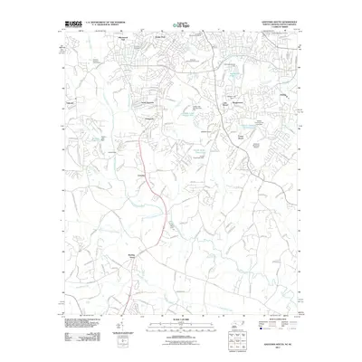
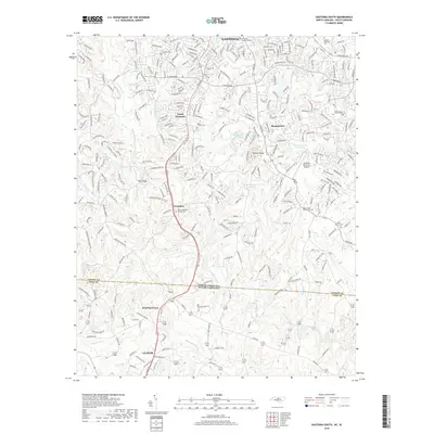
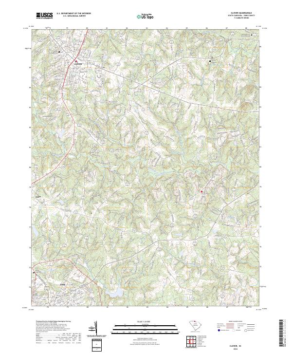 2024 Clover2024 Print · USGSYork County's rolling Piedmont comes into focus in this contemporary survey of the corridor between Clover and York. Researchers can trace generational footprints at sites like Bethel Church Graveyard and Mount Harmony Church Graveyard or follow the waters of Allison Creek.
End of results
Showing maps 1-21 of 21
Top cities near Clover
- Charlotte historical maps
- Rock Hill historical maps
- Gastonia historical maps
- Mount Holly historical maps
- Tega Cay historical maps
- Tega Cay historical maps
See more
Frequently asked questions
- What are the different types of historical maps available for Clover?
- What is the oldest map of Clover?
- Where can I purchase historical maps of Clover for my home or office?
- Where can I download high-res historical maps of Clover?
- Are there historical topographic maps available for Clover?
- Is there historical aerial imagery available for Clover?
- Where are historical maps of Clover sourced from?