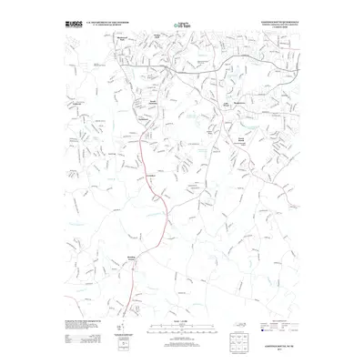
2013 Map of Gastonia South
USGS Topo · Published 2013About this map
South Gastonia and its surrounding residential neighborhoods define the suburban character of this North Carolina-South Carolina border region in the early 2010s. The landscape is a mix of established residential developments like Blackwood Park, Wesley Park, and the uniquely named Boogertown. Local transport and recreation are central to the area's layout, anchored by the Gastonia Municipal Airport and the sprawling grounds of the Gaston Country Club Lake.
Find a feature on this map
371 named features on this map. Tap any name to fly to it.
Don’t see what you’re looking for? This feature index may not catch every label — zoom into the map to look around manually.
Map Details
Editions of this 2013 Gastonia South Map
This is the sole edition of this map. No revisions or reprints were ever made.
Other maps of this area

1906 · Kings Mountain
USGS Topo · 1:62,500

1908 · Kings Mountain
USGS Topo · 1:62,500

1909 · Lincolnton
USGS Topo · 1:62,500

1911 · Lincolnton
USGS Topo · 1:62,500

1914 · Gastonia
USGS Topo · 1:48,000

1916 · Gastonia
USGS Topo · 1:62,500

1947 · Clover
USGS Topo · 1:62,500

1949 · Clover
USGS Topo · 1:62,500

1953 · Charlotte
USGS Topo · 1:250,000

1954 · Charlotte
USGS Topo · 1:250,000