2020s Maps of Bennett County, South Dakota
Explore 40 historic maps of Bennett County from the 2020s. These maps offer a rare glimpse into what life looked like during the 2020s — showing old roads, neighborhoods, homes, and landmarks that have changed or disappeared over time.
Whether you're researching your family's past, planning a metal detecting trip, or studying how Bennett County's landscape evolved across the 2020s, these high-resolution maps are a powerful tool for exploring the history of this region.
- Focus on a specific era: All maps on this page are from the 2020s, giving you a focused view of this time period.
- See what’s changed: Compare century-old streets, trails, and buildings to today's modern landscape using overlays and satellite layers.
- Research with precision: Use these maps for genealogy, historical research, land use analysis, or educational projects.
- View, download, or print: Maps are fully viewable online in high resolution, and can be downloaded or printed for your own records.
Start exploring Bennett County's history through authentic maps from the 2020s. This is your window into the past.
Bennett County, SD maps
(40)- 2021 Map of Trumbull Lake, 2021 Print
 2021 Trumbull Lake2021 Print · USGSThe Nebraska sandhills near the South Dakota border remained a landscape of vast ranchlands and wetlands into the early twenty-first century. Researchers can trace the path of the Cowboy Trl and identify local landmarks like Leat, Trumbull Lake, and Rat Meadow.
 - 2021 Map of Eli, 2021 Print
 2021 Eli2021 Print · USGSThe Nebraska Sandhills meet the South Dakota border in this recent survey of the Cherry County grasslands. Genealogists and local historians can trace the corridor of the Cowboy Trail near the settlement of Eli and the waters of Nelson Lake.
 - 2021 Map of Cody East, 2021 Print
 2021 Cody East2021 Print · USGSThe Nebraska Sandhills meet the South Dakota border in this recent survey of eastern Cherry County. Genealogists and local historians can trace the town grid along Cody Ave and locate burials at Prairie Lawn Cem or follow the path of the Cowboy Trl.
 - 2021 Map of Cody West, 2021 Print
 2021 Cody West2021 Print · USGSCherry County at the turn of the decade shows the quiet transition of Nebraska rail country into recreation. Trace the path of the Cowboy Trl past Cody toward the waters of Cody Lake and Hay Cr.
 - 2021 Map of Irwin, 2021 Print
 2021 Irwin2021 Print · USGSThe settlement of Irwin and the surrounding Nebraska Sandhills are shown in this recent survey of Cherry County. Researchers can trace the path of the Cowboy Trl and locate numerous water bodies like Goose Lake, North Twin Lake, and Cullison Lake.
 - 2021 Map of Merriman NE, 2021 Print
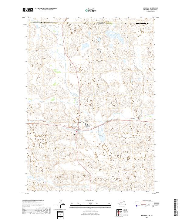
 2021 Merriman NE2021 Print · USGSThe Nebraska Sandhills meet the South Dakota border in the early 2020s, showcasing a landscape of high-plains dunes and scattered water. Trace the path of the Cowboy Trl as it winds past Goose Lake and the drainages of Bear Cr.
 - 2021 Map of Merriman, 2021 Print
 2021 Merriman2021 Print · USGSMerriman and the Nebraska Sandhills are captured in this contemporary survey, showing the intersection of prairie watercourses and the state border. Genealogists and local historians can locate the Saint Elizabeth Catholic Cem, Merriman Cem, and the long route of the Cowboy Trl.
 - 2021 Map of Hog Island, 2021 Print
 2021 Hog Island2021 Print · USGSThe Nebraska Sandhills on the Sheridan and Cherry county line are captured here in the early 2020s. Researchers can trace the unique hydrology of this cattle country through features like Hog Island, Shell Lake, and the Horseshoe Drainage Ditch.
 - 2021 Map of Allen, 2021 Print
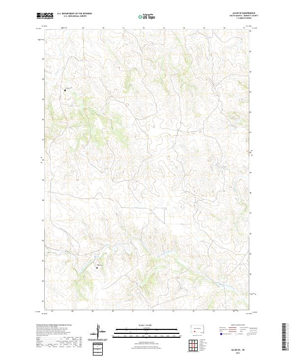
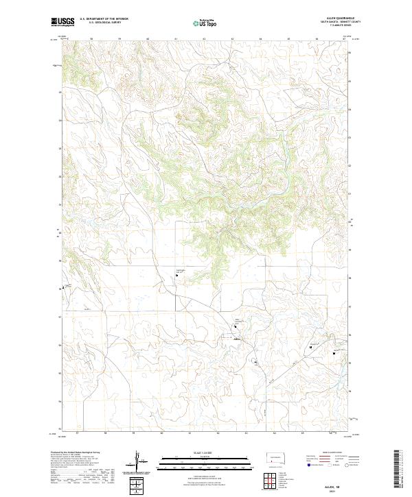 2021 Allen2021 Print · USGSThis corner of Bennett County in the early twenty-first century reveals a landscape defined by prairie waterways and rural community centers. Genealogists and historians can trace local family landmarks through Inestimable Gift Cem, Peyote Cem, and the settlement of Allen.
 - 2021 Map of Scotchman Lake, 2021 Print
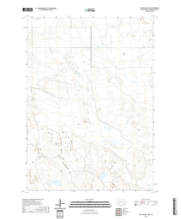 2021 Scotchman Lake2021 Print · USGSBennett County ranchlands are captured here in the early 2020s, showing a landscape shaped by water and wide-open range. Researchers can trace the courses of Peck Cr and Hay Cr or locate specific sections near Scotchman Lake and Rose Springs.
 - 2021 Map of Phantom Lake, 2021 Print
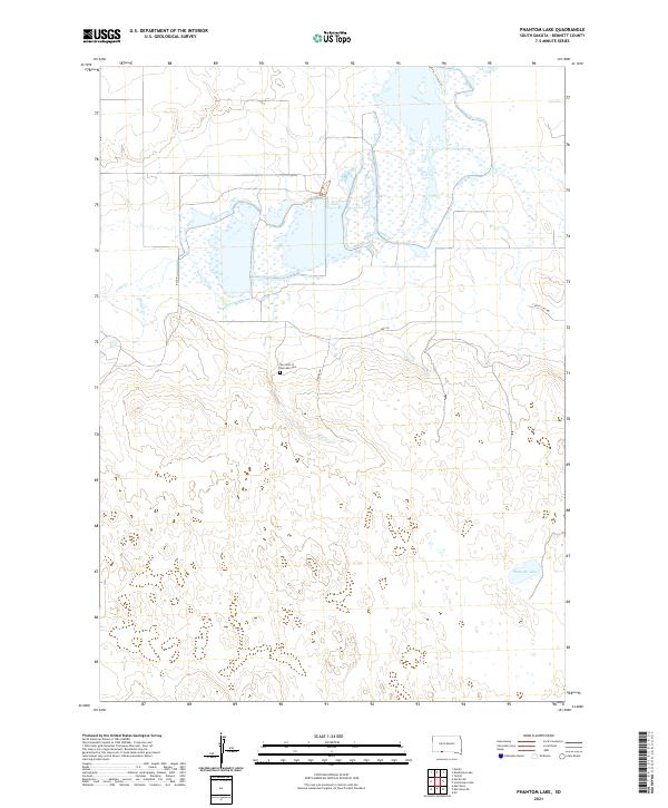 2021 Phantom Lake2021 Print · USGSBennett County's prairie and wetland landscape is captured here in the early twenty-first century as it appeared before recent developments. Genealogists and local historians can locate Our Lady of the Lake Cem and trace the paths of Lake Creek and Phantom Lake.
 - 2021 Map of Allan Dam, 2021 Print
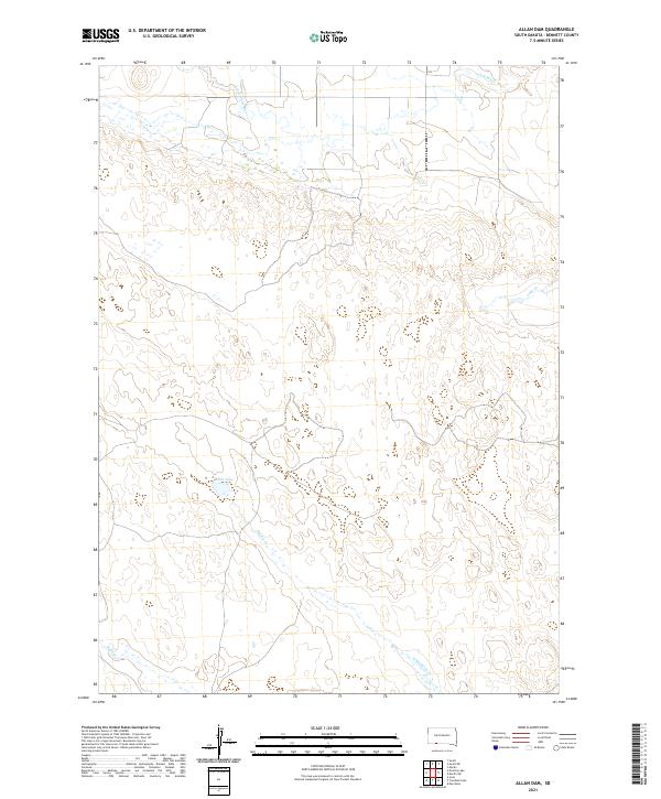 2021 Allan Dam2021 Print · USGSBennett County's ranching landscape is documented here in the early 2020s, showing the intricate drainage of the High Plains. Researchers can trace the paths of Little White River, Heckel Cr, and the banks of White Lake.
 - 2021 Map of Swett NE, 2021 Print
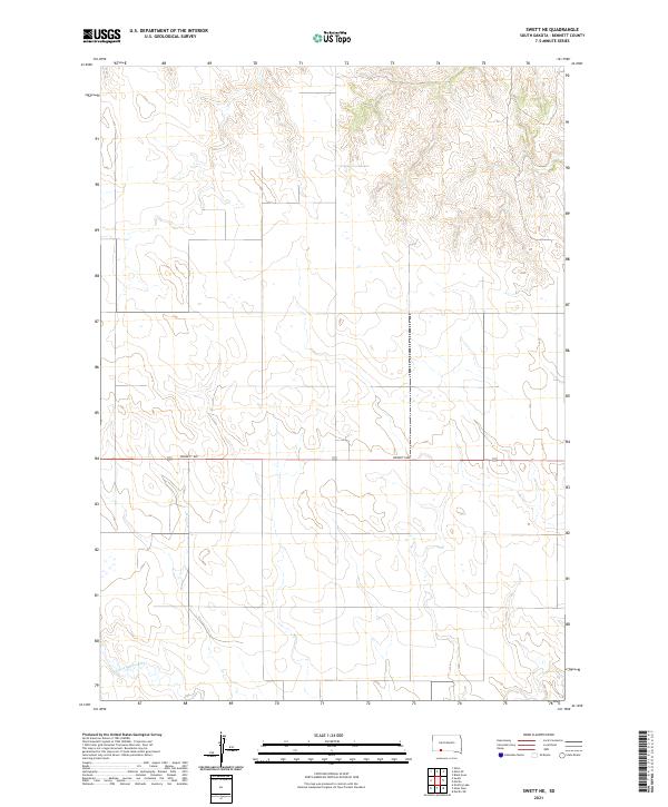 2021 Swett NE2021 Print · USGSThe open prairie of Bennett County comes into focus in this recent survey of the South Dakota landscape. Researchers can trace the winding course of the Little White River and the rural path of Bennett Ave through these plains.
 - 2021 Map of Eagle Mans Butte, 2021 Print
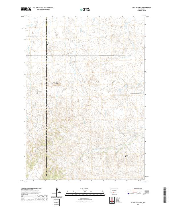 2021 Eagle Mans Butte2021 Print · USGSThe Todd County plains and the Bennett County border are captured here during the early twenty-first century. Researchers can locate family sites near Saint Stephen Cemetery or trace the drainage of Eagle Chief Creek and Black Elk Creek.
 - 2021 Map of East of Scotchman Lake, 2021 Print
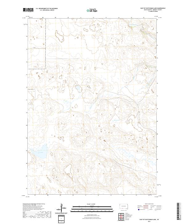 2021 East of Scotchman Lake2021 Print · USGSIn the grasslands of Bennett County, this contemporary survey captures a sparsely settled landscape defined by its prairie waters. Genealogists and researchers can trace local hydrology and topography near Little White River, Muskrat Lake, and Clear Lake.
 - 2021 Map of Allen SE, 2021 Print
 2021 Allen SE2021 Print · USGSBennett County's high prairie landscape is captured here in the early twenty-first century, showing a remote part of South Dakota. Family historians can locate rural burial sites such as Saint Johns Cemetery and Salaway Cemetery along the banks of Bear-in-the-Lodge Creek.
 - 2021 Map of Ecoffey Lake, 2021 Print
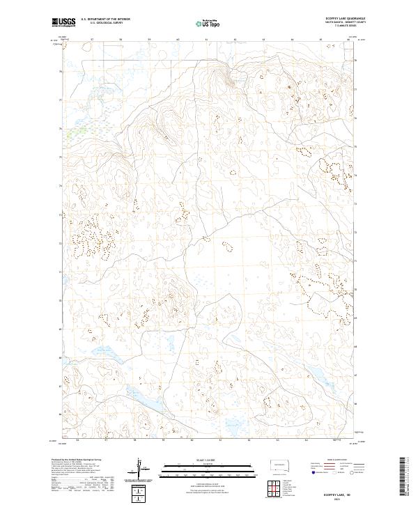 2021 Ecoffey Lake2021 Print · USGSBennett County, South Dakota, is shown here in the early twenty-first century, featuring the winding path of the Little White River. Researchers can trace the drainage patterns and locate local landmarks such as Ecoffey Lake, Emmo Springs, and Posey Lake.
 - 2021 Map of Yellow Bear Camp, 2021 Print
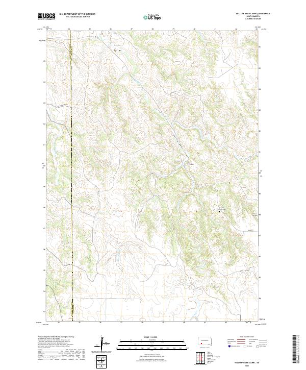 2021 Yellow Bear Camp2021 Print · USGSThe high plains along the Oglala Lakota and Bennett County line are documented here in the early twenty-first century. Genealogists and local historians can locate Yellow Bear Camp, trace Medicine Root Cr, and find the Body of Christ Cem.
 - 2021 Map of Horse Creek, 2021 Print
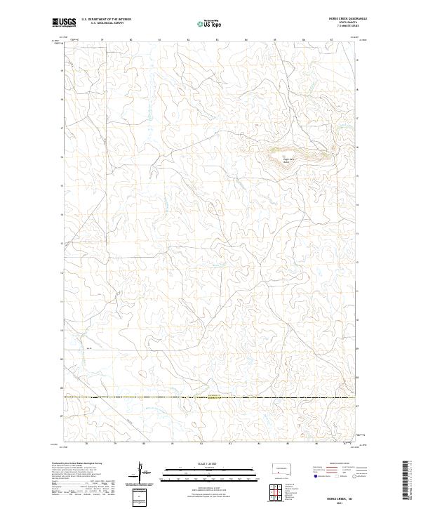 2021 Horse Creek2021 Print · USGSWestern South Dakota's open range comes into focus in this contemporary survey of Jackson and Bennett counties. Researchers can trace the drainages of Eagle Nest Cr and Bear-in-the-Lodge Cr or locate the landmark summit of Eagle Nest Butte.
 - 2021 Map of Martin, 2021 Print
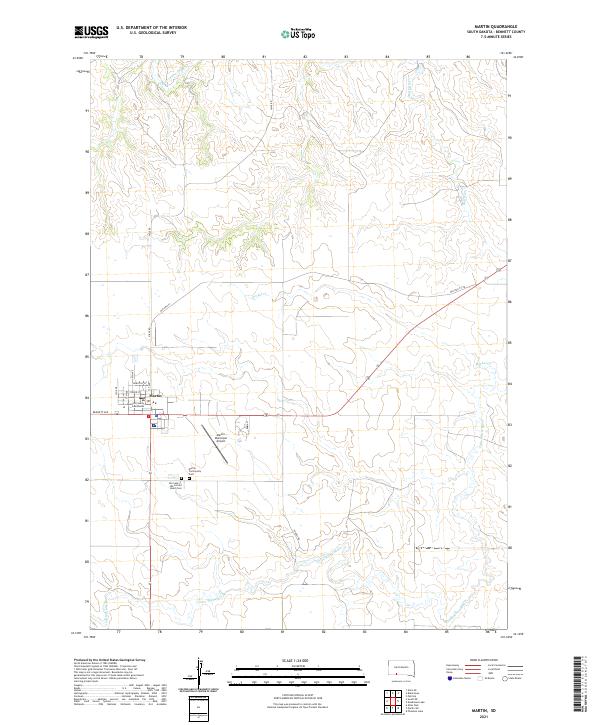 2021 Martin2021 Print · USGSMartin and the surrounding Bennett County plains are captured here in the early 2020s, showing the intersection of local government and rural life. Researchers can locate family sites at Martin Community Cem or trace the early paths of Old Hwy 73/18 and the Little White River.
 - 2021 Map of Two Lance Lake, 2021 Print
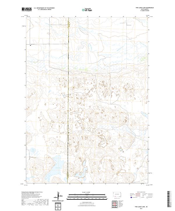 2021 Two Lance Lake2021 Print · USGSBennett and Oglala Lakota counties are mapped here in the early 2020s, showing a landscape defined by prairie wetlands and river drainages. Genealogists and researchers can locate the Knight Cem and trace the paths of Stinking Water Cr and the Little White River.
 - 2021 Map of Spring Creek SW, 2021 Print
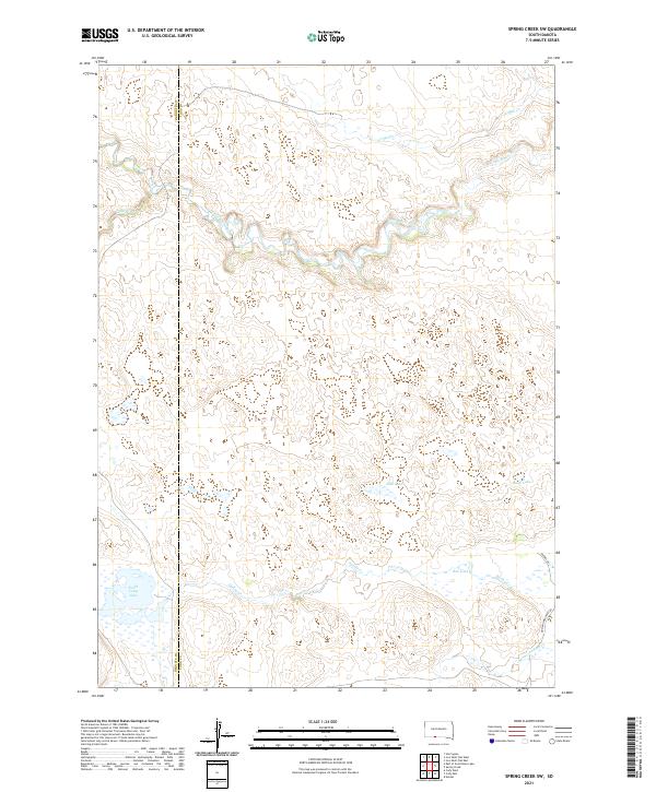 2021 Spring Creek SW2021 Print · USGSThe Todd County prairie at the start of the 2020s is defined by its winding waterways and isolated upland basins. Researchers can trace the path of the Little White River or locate remote water features like North Cody Lake and Bob Lake.
 - 2021 Map of Deadmans Lake, 2021 Print
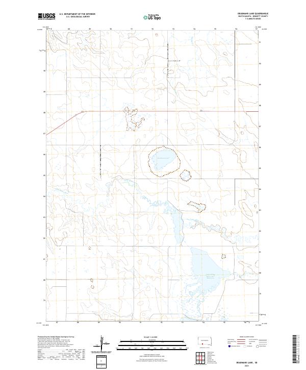 2021 Deadmans Lake2021 Print · USGSBennett County's ranching country is defined by its water in this recent survey of the South Dakota plains. Researchers can trace the meandering course of the Little White River into the Little White River Pool Reservoir and locate the eponymous Deadmans Lake.
 - 2021 Map of Norris, 2021 Print
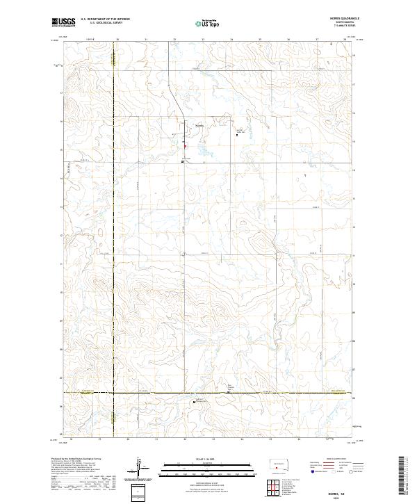 2021 Norris2021 Print · USGSThe rural prairie landscape surrounding Norris is documented here as it appeared in the early 2020s. Researchers can locate family landmarks such as the Red Leaf Tiospaye Cem, Poor Thunder Cem, and the winding path of Black Pipe Cr.
 - 2021 Map of Long Valley NW, 2021 Print
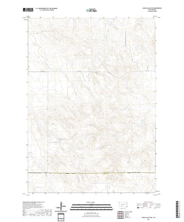 2021 Long Valley NW2021 Print · USGSThe high plains of South Dakota are captured in this recent survey of the Jackson and Bennett County border. Genealogists and researchers can trace the course of Lost Turkey Cr and Corn Cr across rural routes like Longvalley Rd and Co Rd Ch 16.
Showing maps 1-25 of 40
Top cities of Bennett County
Frequently asked questions
- What are the different types of historical maps available for Bennett County?
- What is the oldest map of Bennett County?
- Where can I purchase historical maps of Bennett County for my home or office?
- Where can I download high-res historical maps of Bennett County?
- Are there historical topographic maps available for Bennett County?
- Is there historical aerial imagery available for Bennett County?
- Where are historical maps of Bennett County sourced from?