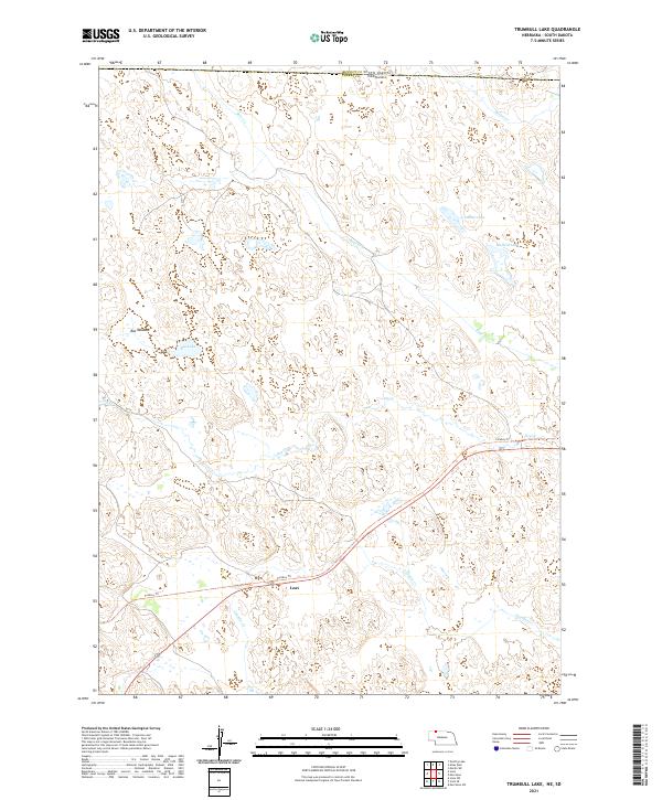
2021 Map of Trumbull Lake
USGS Topo · Published 2021About this map
The northern reaches of Nebraska’s sandhills meet the South Dakota border in this remote landscape dominated by hydrologic networks and natural basins. Trumbull Lake and Mallard Lake anchor the eastern side of the terrain, while the western portion is defined by the expanse of Rat Meadow and Rat Lake. These wetlands and depressions are fed by a series of intermittent and seasonal drainages, including Bear Cr, Heckel Cr, and Leander Cr, which cut through the undulating topography typical of Cherry County.
Find a feature on this map
15 named features on this map. Tap any name to fly to it.
Don’t see what you’re looking for? This feature index may not catch every label — zoom into the map to look around manually.
Map Details
Editions of this 2021 Trumbull Lake Map
This is the sole edition of this map. No revisions or reprints were ever made.
Other maps of this area

1950 · Irwin
USGS Topo · 1:62,500

1951 · Irwin
USGS Topo · 1:62,500

1951 · Merriman
USGS Topo · 1:62,500

1955 · Martin
USGS Topo · 1:250,000

1957 · Valentine
USGS Topo · 1:250,000

1958 · Martin
USGS Topo · 1:250,000

1959 · Valentine
USGS Topo · 1:250,000

1981 · Phantom Lake
USGS Topo · 1:25,000

1981 · Ecoffey Lake
USGS Topo · 1:25,000

1983 · Martin
USGS Topo · 1:100,000