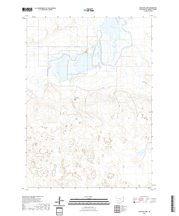
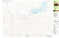
2021 Map of Phantom Lake
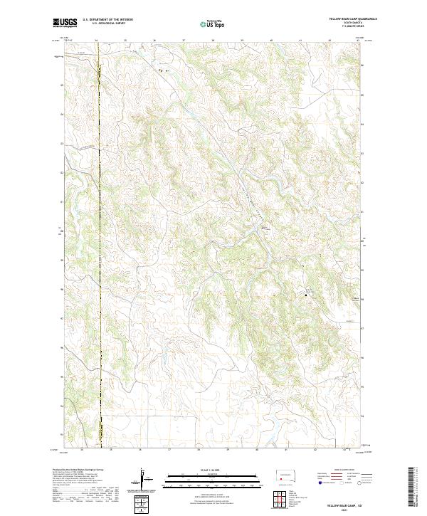
USGS Topo · Published 2021This historical map portrays the area of Phantom Lake in 2021, primarily covering Bennett County. Featuring a scale of 1:24000, this map provides a highly detailed snapshot of the terrain, roads, buildings, counties, and historical landmarks in the Phantom Lake region at the time. Published in 2021, it is the sole known edition of this map.
Map Details
Editions of this 2021 Phantom Lake Map
This is the sole edition of this map. No revisions or reprints were ever made.
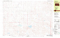
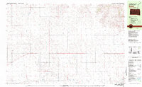
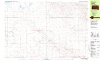
Historical Maps of Bennett County Through Time
25 maps found
1981 Blackpipe
Bennett County, SD
1981 Ecoffey Lake
Bennett County, SD
1981 Patricia
Bennett County, SD
1981 Phantom Lake
Bennett County, SD
1981 Scotchman Lake
Bennett County, SD
1981 Swett
Bennett County, SD
1981 Tuthill
Bennett County, SD
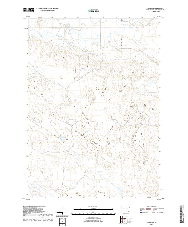
2021 Allan Dam
Bennett County, SD
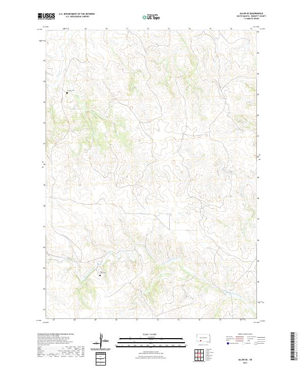
2021 Allen SE
Bennett County, SD
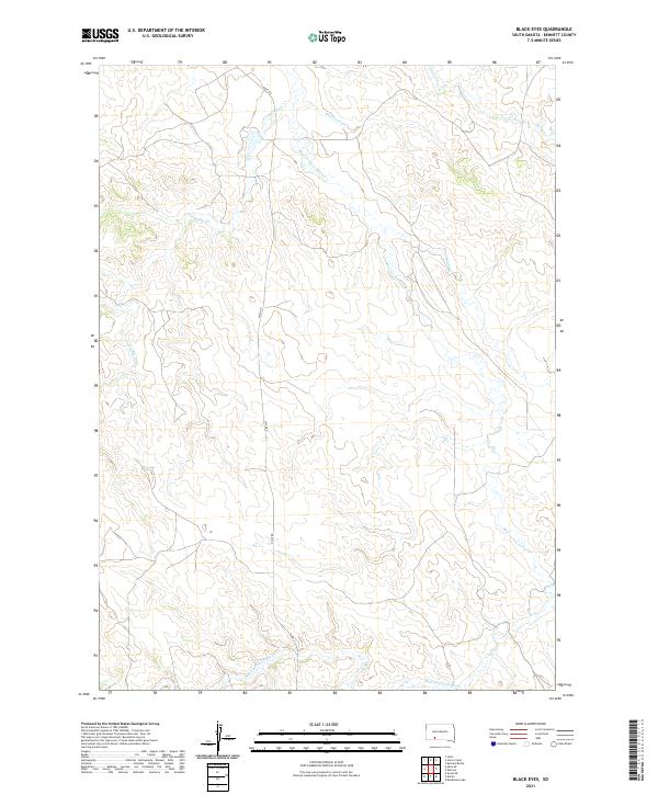
2021 Black Eyes
Bennett County, SD
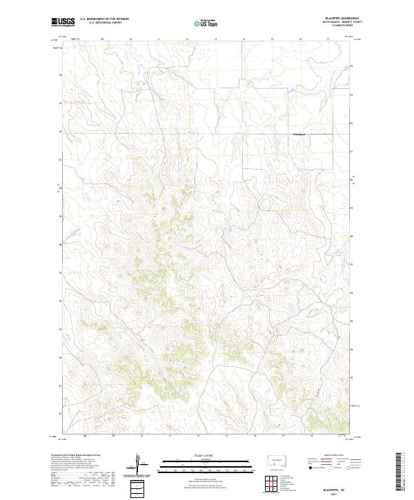
2021 Blackpipe
Bennett County, SD
2021 Brushy Butte
Bennett County, SD
2021 Deadmans Lake
Bennett County, SD
2021 East of Scotchman Lake
Bennett County, SD
2021 Ecoffey Lake
Bennett County, SD
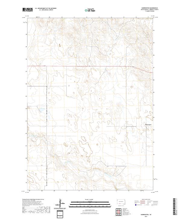
2021 Harrington
Bennett County, SD
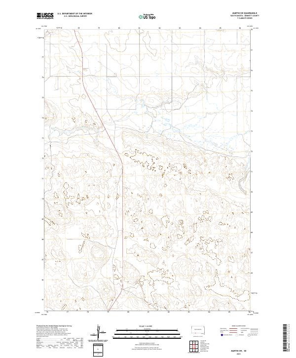
2021 Martin SW
Bennett County, SD
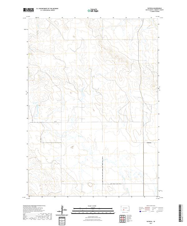
2021 Patricia
Bennett County, SD
2021 Phantom Lake
Bennett County, SD
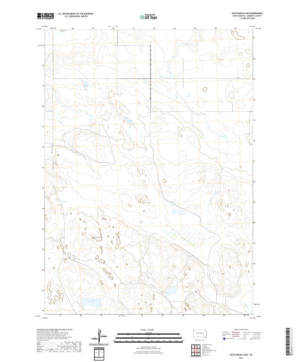
2021 Scotchman Lake
Bennett County, SD
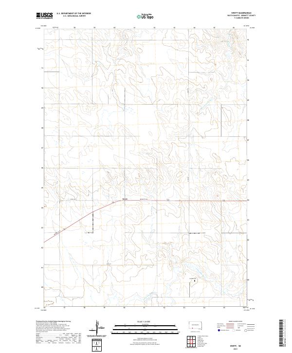
2021 Swett
Bennett County, SD
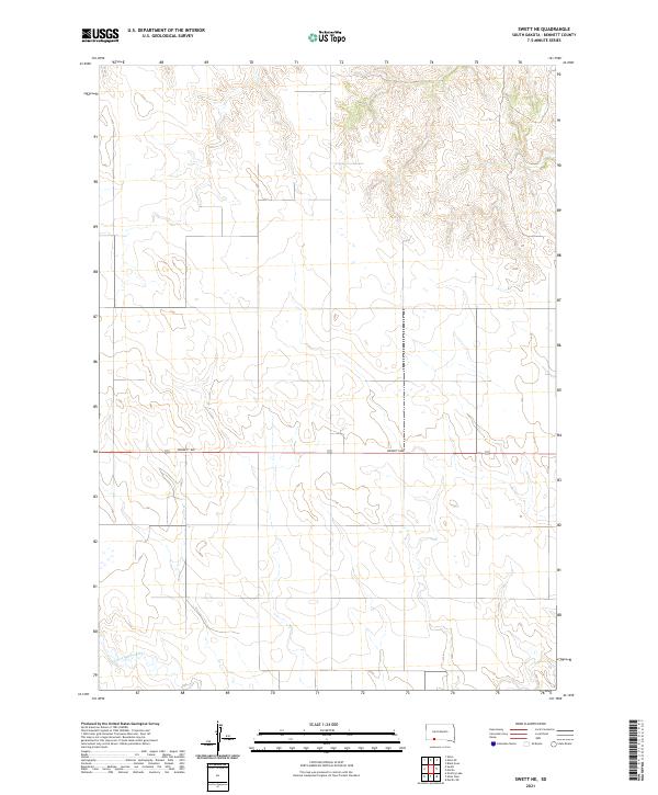
2021 Swett NE
Bennett County, SD
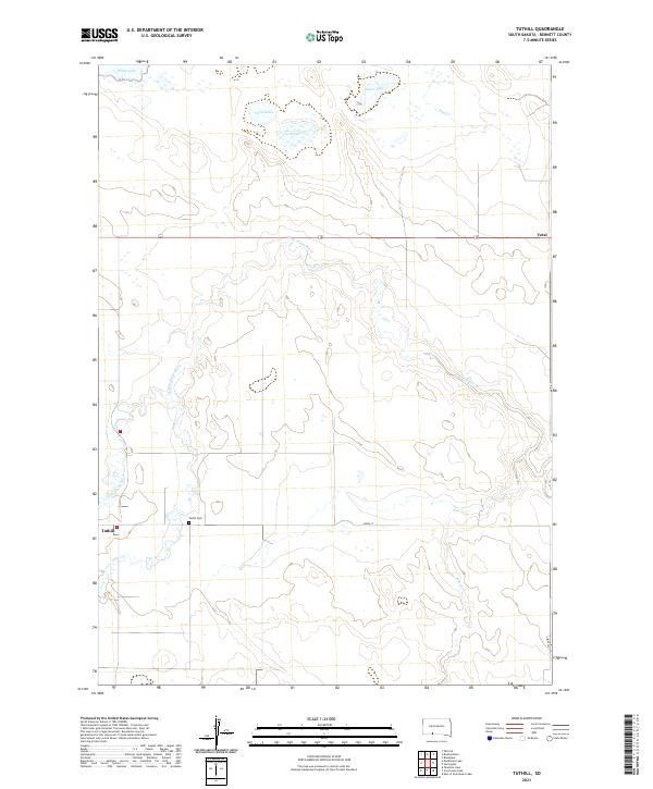
2021 Tuthill
Bennett County, SD
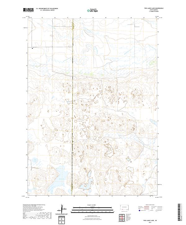
2021 Two Lance Lake
Bennett County, SD
2021 Yellow Bear Camp
Bennett County, SD