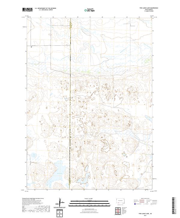
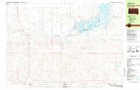
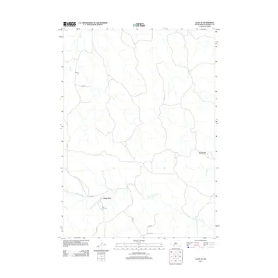
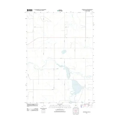
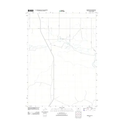
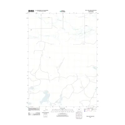
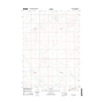
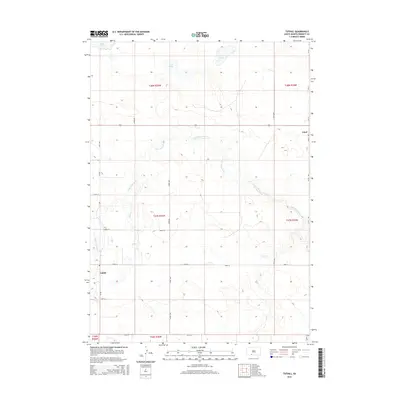
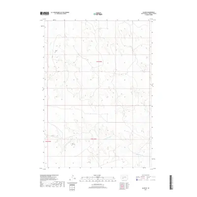
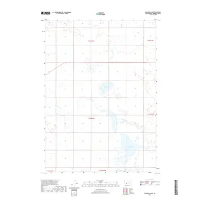
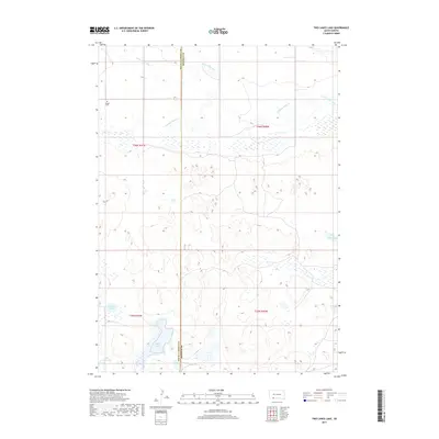
2021 Map of Two Lance Lake
USGS Topo · Published 2021About this map
The Little White River and Stinking Water Cr define the northern drainages of this high plains landscape along the county line shared by Oglala Lakota and Bennett counties. The terrain is marked by a complex system of semi-permanent wetlands and small basins, including Two Lance Lake, Alkali Lake, and Posey Lake in the southern reaches. This modern topographic study reveals a sparsely populated area where land use is oriented toward water resources and grazing. A single historical marker, the Knight Cem, sits in the northwest quadrant, providing a rare genealogical point of reference in an otherwise open prairie environment. The map details the transition from the river valley to the pothole-studded tablelands, capturing the contemporary state of this remote South Dakota interior.
Find a feature on this map
12 named features on this map. Tap any name to fly to it.
Don’t see what you’re looking for? This feature index may not catch every label — zoom into the map to look around manually.
Map Details
Editions of this 2021 Two Lance Lake Map
This is the sole edition of this map. No revisions or reprints were ever made.
Historical Maps of Pine Ridge Through Time
79 maps found
1981 Blackpipe
Bennett County, SD
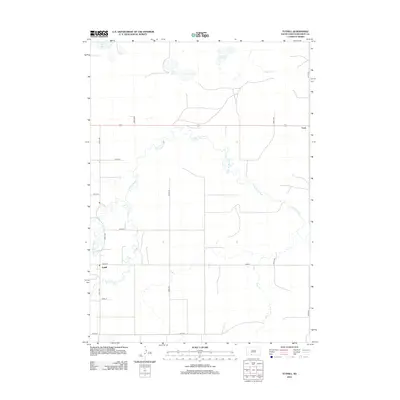
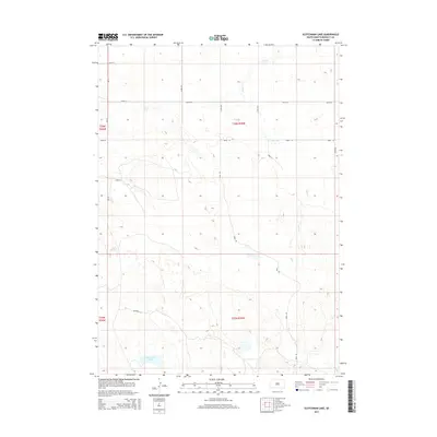
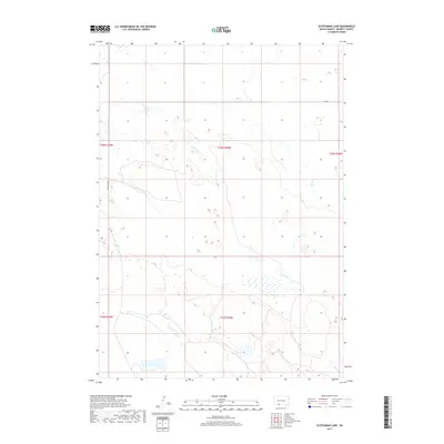
1981 Ecoffey Lake
Bennett County, SD
1981 Patricia
Bennett County, SD
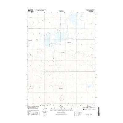
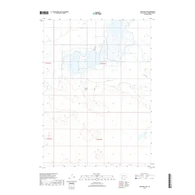
1981 Phantom Lake
Bennett County, SD
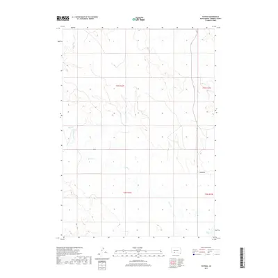
1981 Scotchman Lake
Bennett County, SD
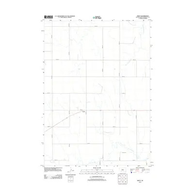
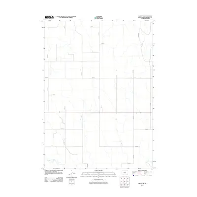
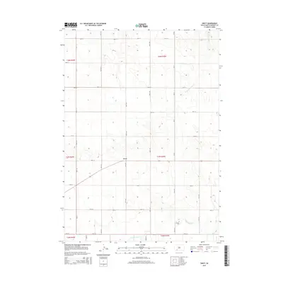
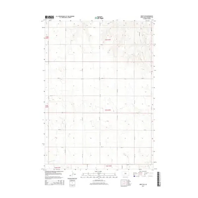
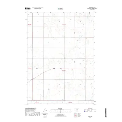
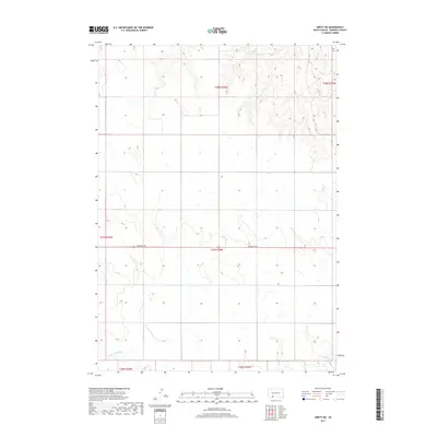
1981 Swett
Bennett County, SD
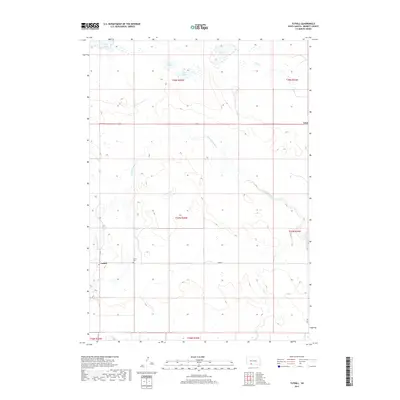
1981 Tuthill
Bennett County, SD

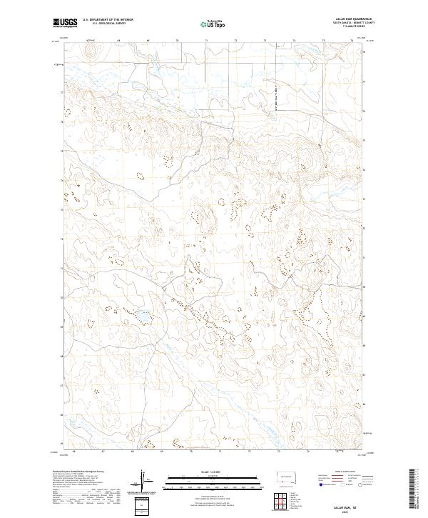
2012 Allan Dam
Bennett County, SD
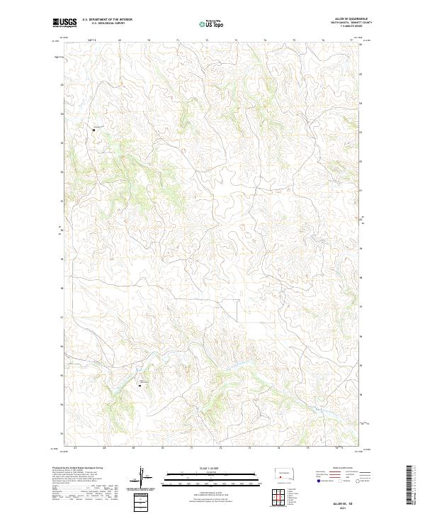
2012 Allen SE
Bennett County, SD
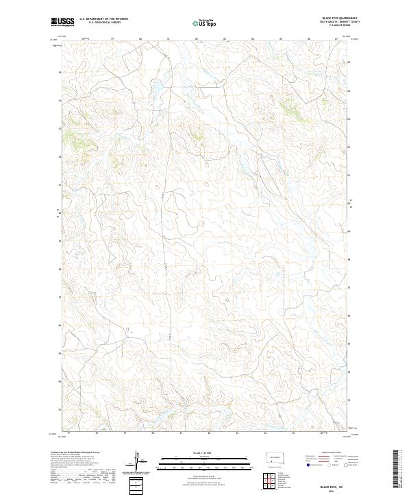
2012 Black Eyes
Bennett County, SD
2012 Blackpipe
Bennett County, SD
2012 Brushy Butte
Bennett County, SD
2012 Deadmans Lake
Bennett County, SD
2012 East of Scotchman Lake
Bennett County, SD
2012 Ecoffey Lake
Bennett County, SD
2012 Harrington
Bennett County, SD
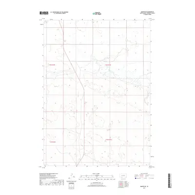
2012 Martin SW
Bennett County, SD
2012 Patricia
Bennett County, SD
2012 Phantom Lake
Bennett County, SD
2012 Scotchman Lake
Bennett County, SD
2012 Swett
Bennett County, SD
2012 Swett NE
Bennett County, SD
2012 Tuthill
Bennett County, SD
2012 Two Lance Lake
Bennett County, SD
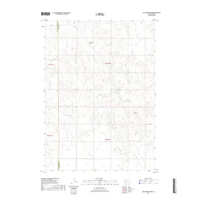
2012 Yellow Bear Camp
Bennett County, SD
2015 Allan Dam
Bennett County, SD
2015 Allen SE
Bennett County, SD
2015 Black Eyes
Bennett County, SD
2015 Blackpipe
Bennett County, SD
2015 Brushy Butte
Bennett County, SD
2015 Deadmans Lake
Bennett County, SD
2015 East of Scotchman Lake
Bennett County, SD
2015 Ecoffey Lake
Bennett County, SD
2015 Harrington
Bennett County, SD
2015 Martin SW
Bennett County, SD
2015 Patricia
Bennett County, SD
2015 Phantom Lake
Bennett County, SD
2015 Scotchman Lake
Bennett County, SD
2015 Swett
Bennett County, SD
2015 Swett NE
Bennett County, SD
2015 Tuthill
Bennett County, SD
2015 Two Lance Lake
Bennett County, SD
2015 Yellow Bear Camp
Bennett County, SD
2017 Allan Dam
Bennett County, SD
2017 Allen SE
Bennett County, SD
2017 Black Eyes
Bennett County, SD
2017 Blackpipe
Bennett County, SD
2017 Brushy Butte
Bennett County, SD
2017 Deadmans Lake
Bennett County, SD
2017 East of Scotchman Lake
Bennett County, SD
2017 Ecoffey Lake
Bennett County, SD
2017 Harrington
Bennett County, SD
2017 Martin SW
Bennett County, SD
2017 Patricia
Bennett County, SD
2017 Phantom Lake
Bennett County, SD
2017 Scotchman Lake
Bennett County, SD
2017 Swett
Bennett County, SD
2017 Swett NE
Bennett County, SD
2017 Tuthill
Bennett County, SD
2017 Two Lance Lake
Bennett County, SD
2017 Yellow Bear Camp
Bennett County, SD
2021 Allan Dam
Bennett County, SD
2021 Allen SE
Bennett County, SD
2021 Black Eyes
Bennett County, SD
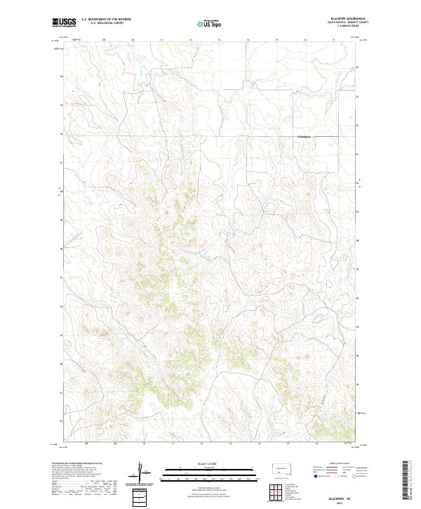
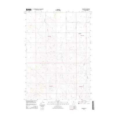
2021 Blackpipe
Bennett County, SD
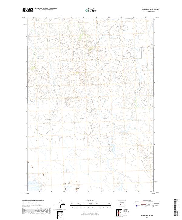
2021 Brushy Butte
Bennett County, SD
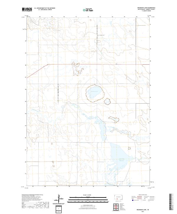
2021 Deadmans Lake
Bennett County, SD
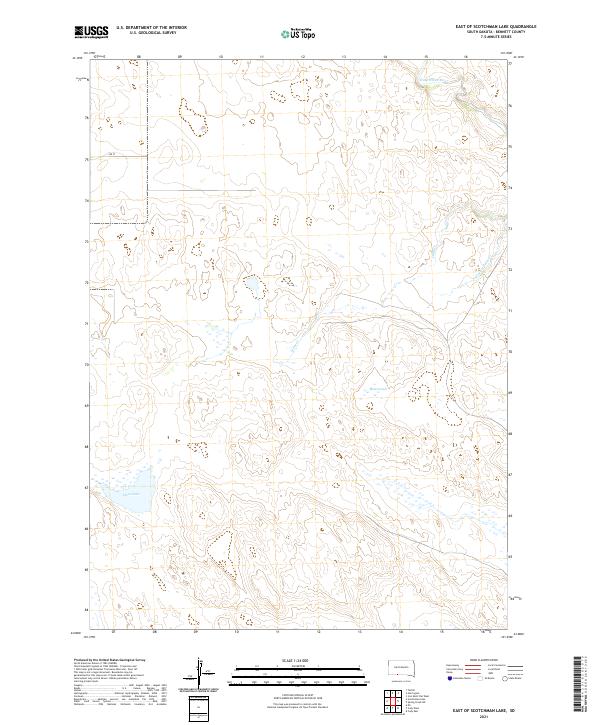
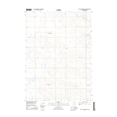
2021 East of Scotchman Lake
Bennett County, SD
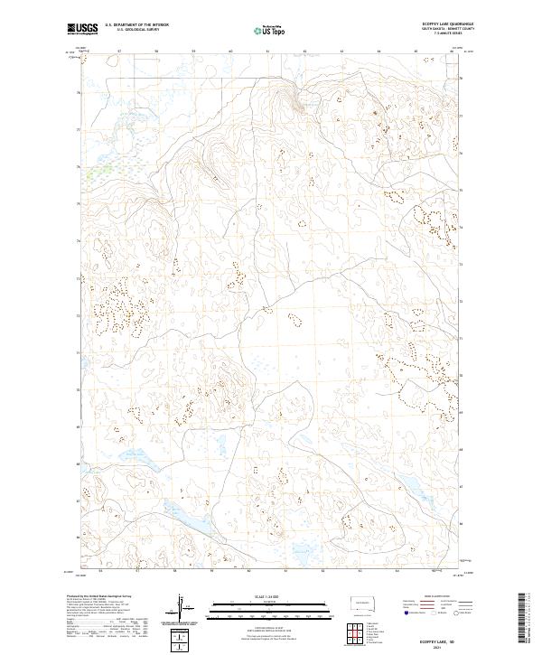
2021 Ecoffey Lake
Bennett County, SD
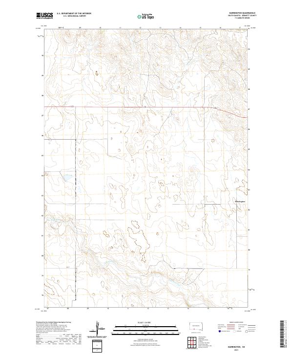
2021 Harrington
Bennett County, SD
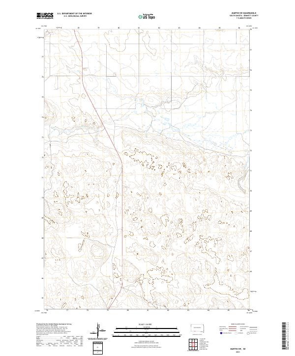
2021 Martin SW
Bennett County, SD
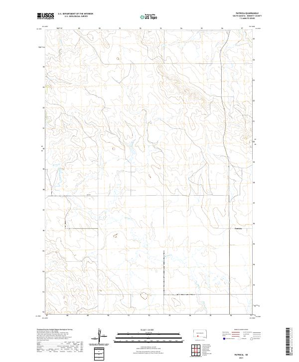
2021 Patricia
Bennett County, SD
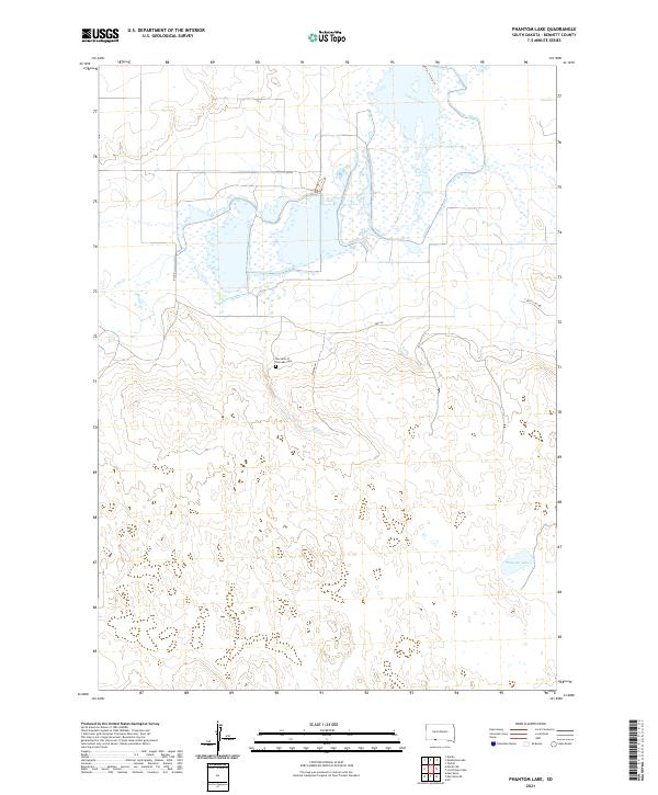
2021 Phantom Lake
Bennett County, SD
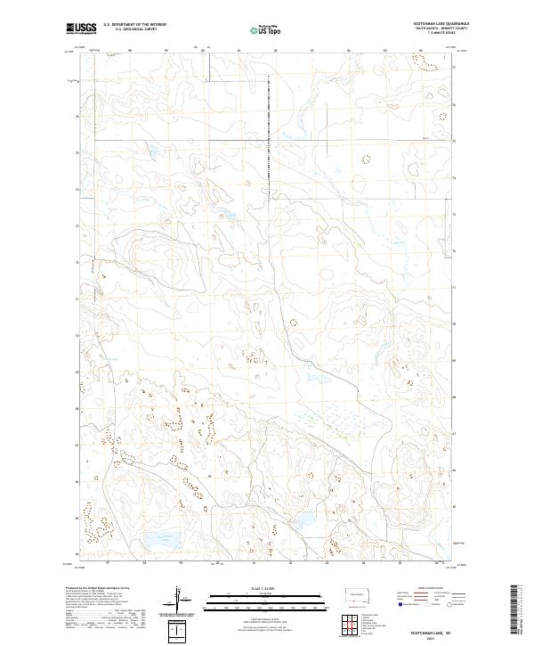
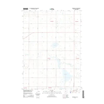
2021 Scotchman Lake
Bennett County, SD
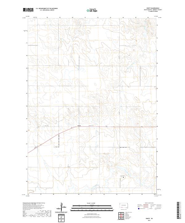
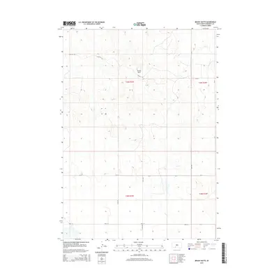
2021 Swett
Bennett County, SD
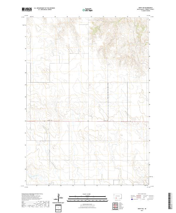
2021 Swett NE
Bennett County, SD
2021 Tuthill
Bennett County, SD
2021 Two Lance Lake
Bennett County, SD
2021 Yellow Bear Camp
Bennett County, SD