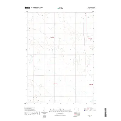
2017 Map of Patricia
USGS Topo · Published 2017About this map
Patricia serves as the central point of reference in this Bennett County landscape, situated within a high-plains environment defined by intermittent drainages and section-line roads. The topography is marked by the winding courses of Horse Cr and Spring Creek, which traverse the open range. In the southern reaches, White Lake provides a notable hydrologic feature in an otherwise arid expanse. The map illustrates the structured Public Land Survey System divisions, including t39n r36w and t38n r36w, highlighting the organized settlement patterns of this portion of South Dakota. Local transit is represented by routes such as Bud Rd, showing the sparse but essential road network connecting isolated rural holdings.
Find a feature on this map
10 named features on this map. Tap any name to fly to it.
Don’t see what you’re looking for? This feature index may not catch every label — zoom into the map to look around manually.
Map Details
Editions of this 2017 Patricia Map
This is the sole edition of this map. No revisions or reprints were ever made.
Other maps of this area

1955 · Martin
USGS Topo · 1:250,000

1958 · Martin
USGS Topo · 1:250,000

1981 · Long Valley
USGS Topo · 1:25,000

1981 · Patricia
USGS Topo · 1:25,000

1981 · Martin
USGS Topo · 1:25,000

1981 · Blackpipe
USGS Topo · 1:25,000
1981 · Buzzard Butte
USGS Topo · 1:25,000

1981 · Tuthill
USGS Topo · 1:25,000

1983 · Martin
USGS Topo · 1:100,000
2012 · Tuthill
USGS Topo · 1:24,000