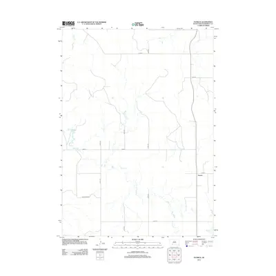
2012 Map of Patricia
USGS Topo · Published 2012About this map
The small settlement of Patricia sits in the eastern portion of this Bennett County landscape, positioned along the north-south corridor of South Dakota Highway 73. The terrain is defined by the winding course of Spring Cr, which meanders extensively across the central and western sections of the map, creating a complex drainage pattern throughout the prairie. In the northwest, the headwaters of Horse Cr emerge, while White Lake marks a distinct point of interest in the southeast corner. The area is gridded by a network of rural routes, including Cottonwood Rd and numbered corridors like 284th St and 227th Ave, illustrating the organized agricultural layout of the region. This 2012 survey provides a clear view of the water sources and land divisions critical to life on the High Plains.
Find a feature on this map
13 named features on this map. Tap any name to fly to it.
Don’t see what you’re looking for? This feature index may not catch every label — zoom into the map to look around manually.
Map Details
Editions of this 2012 Patricia Map
This is the sole edition of this map. No revisions or reprints were ever made.
Other maps of this area

1955 · Martin
USGS Topo · 1:250,000

1958 · Martin
USGS Topo · 1:250,000

1981 · Long Valley
USGS Topo · 1:25,000

1981 · Patricia
USGS Topo · 1:25,000

1981 · Martin
USGS Topo · 1:25,000

1981 · Blackpipe
USGS Topo · 1:25,000
1981 · Buzzard Butte
USGS Topo · 1:25,000

1981 · Tuthill
USGS Topo · 1:25,000

1983 · Martin
USGS Topo · 1:100,000
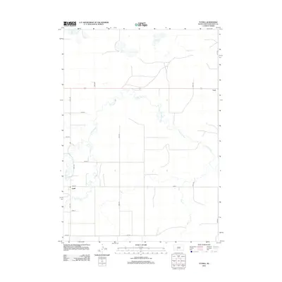
2012 · Tuthill
USGS Topo · 1:24,000