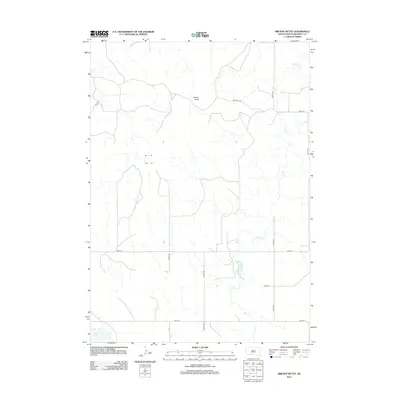
2012 Map of Brushy Butte
USGS Topo · Published 2012About this map
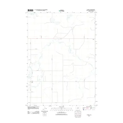
Brushy Butte rises above the open high plains of Bennett County, defining a landscape shaped by the winding course of Pass Cr. This 2012 survey captures the expansive rural character of the region, where a network of section line roads like 280th St and 234th Ave navigate the drainages and plateaus. To the southwest, the waters of White Lake provide a rare landmark in this sparsely populated area. The naming of Poison Ivy Rd suggests the local flora encountered by those traversing the ridges between the creek's meanders. This record of the modern western South Dakota landscape provides essential topographic data for understanding the intersection of local water resources and the established grid of ranch and farm access roads.
Find a feature on this map
13 named features on this map. Tap any name to fly to it.
Don’t see what you’re looking for? This feature index may not catch every label — zoom into the map to look around manually.
Map Details
Editions of this 2012 Brushy Butte Map
This is the sole edition of this map. No revisions or reprints were ever made.
Other maps of this area

1955 · Martin
USGS Topo · 1:250,000

1958 · Martin
USGS Topo · 1:250,000
1981 · Long Valley
USGS Topo · 1:25,000
1981 · Patricia
USGS Topo · 1:25,000
1981 · Martin
USGS Topo · 1:25,000
1981 · Blackpipe
USGS Topo · 1:25,000
1981 · Buzzard Butte
USGS Topo · 1:25,000
1981 · Tuthill
USGS Topo · 1:25,000
1983 · Martin
USGS Topo · 1:100,000
2012 · Tuthill
USGS Topo · 1:24,000