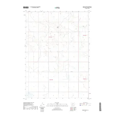
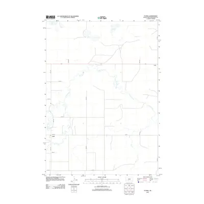
2017 Map of Brushy Butte
USGS Topo · Published 2017About this map
Brushy Butte rises above the drainage of Pass Cr in this sparsely settled portion of Bennett County. The landscape is defined by its natural hydrology and township boundaries, with the southwestern corner featuring the basin of White Lake. Published by the U.S. Geological Survey in 2017, the map illustrates a rural environment where land use is primarily organized by the Public Land Survey System. Travel through the area is facilitated by established routes such as Patricia Rd and Moose Rd, which cut across the prairie terrain. The map's layout provides a clear view of the section lines and township ranges, including t39n r35w and t38n r35w, which are essential for property researchers and those tracing local family history in this region of South Dakota.
Find a feature on this map
9 named features on this map. Tap any name to fly to it.
Don’t see what you’re looking for? This feature index may not catch every label — zoom into the map to look around manually.
Map Details
Editions of this 2017 Brushy Butte Map
This is the sole edition of this map. No revisions or reprints were ever made.
Other maps of this area

1955 · Martin
USGS Topo · 1:250,000

1958 · Martin
USGS Topo · 1:250,000
1981 · Long Valley
USGS Topo · 1:25,000
1981 · Patricia
USGS Topo · 1:25,000
1981 · Martin
USGS Topo · 1:25,000
1981 · Blackpipe
USGS Topo · 1:25,000
1981 · Buzzard Butte
USGS Topo · 1:25,000
1981 · Tuthill
USGS Topo · 1:25,000
1983 · Martin
USGS Topo · 1:100,000
2012 · Tuthill
USGS Topo · 1:24,000