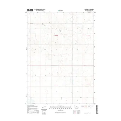
2015 Map of Brushy Butte
USGS Topo · Published 2015About this map
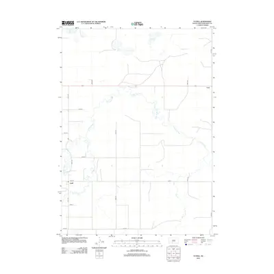
Brushy Butte rises above the open range of Bennett County, defining the local topography in this sparsely settled portion of South Dakota. The landscape is characterized by the winding drainage of Pass Cr, which cuts through the plains across several townships. Surveyed in the early 21st century, the map reveals a strict section-line road grid that dictates movement across the prairie, featuring routes such as 280th St and 286th St. Local history is anchored by specific rural thoroughfares like the evocatively named Poison Ivy Rd, while the intersection of Cr-14 and 234th Ave highlights the infrastructure supporting the area's agricultural operations. The map provides a precise look at the land division within T39N R35W and surrounding townships, showing the relationship between natural watercourses and the human-imposed geometry of the West.
Find a feature on this map
14 named features on this map. Tap any name to fly to it.
Don’t see what you’re looking for? This feature index may not catch every label — zoom into the map to look around manually.
Map Details
Editions of this 2015 Brushy Butte Map
This is the sole edition of this map. No revisions or reprints were ever made.
Other maps of this area

1955 · Martin
USGS Topo · 1:250,000

1958 · Martin
USGS Topo · 1:250,000
1981 · Long Valley
USGS Topo · 1:25,000
1981 · Patricia
USGS Topo · 1:25,000
1981 · Martin
USGS Topo · 1:25,000
1981 · Blackpipe
USGS Topo · 1:25,000
1981 · Buzzard Butte
USGS Topo · 1:25,000
1981 · Tuthill
USGS Topo · 1:25,000
1983 · Martin
USGS Topo · 1:100,000
2012 · Tuthill
USGS Topo · 1:24,000