Old Maps of Allen, South Dakota for Academic Research
Study the evolution of Allen with 55 high-resolution historic maps. Whether you're teaching, researching, or modeling changes in land use, these maps provide essential visual documentation of urban, environmental, and geographic change.
- Analyze long-term change: Track patterns in development, transportation, and natural features.
- Ideal for environmental or urban studies: Support academic projects with primary historical map data.
- Use in the classroom or lab: Educators and researchers rely on these maps to bring historical context to life.
These maps are a powerful tool for teaching, research, and visualizing how Allen has changed over the decades.
Allen, SD maps
(55)- 1955 Map of Hot Springs, 1958 Print
 1955 Hot Springs1958 Print · USGSThe Black Hills and South Dakota badlands are captured here in the mid-fifties, during a peak of military and industrial activity. Researchers can locate the Black Hills Ordnance Depot, early Uranium Mines, and historic rail stops like Pringle or Oglala.5 unique versions available
 - 1955 Map of Martin, 1968 Print
 1955 Martin1968 Print · USGSTribal lands and rail corridors define the South Dakota plains in the mid-fifties, from the sand hills to the badlands. Genealogists and historians can trace the early layout of Pine Ridge Indian Reservation settlements and find small rail towns like Stamford and Witten.2 unique versions available
 - 1958 Map of Martin
 1958 Martin1958 Print · USGSSouth Dakota's southern plains are documented here in the late fifties, showing the expansive Pine Ridge and Rosebud Indian Reservations. Genealogists and historians can locate early settlements along the Chicago Milwaukee St Paul and Pacific line or find family roots near Martin and the Indian Cemetery.
 - 1981 Map of Yellow Bear Camp
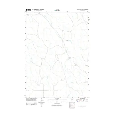
 1981 Yellow Bear Camp1981 Print · USGSThe Pine Ridge Indian Reservation is documented in the early eighties, showing a landscape defined by deep canyons and traditional community sites. Genealogists and historians can locate Yellow Bear Camp and trace family records at Mediator Cem or Body of Christ Cem.
 - 1981 Map of Allen
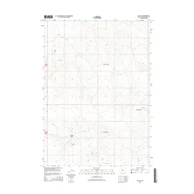
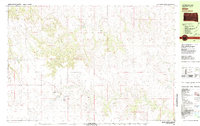 1981 Allen1981 Print · USGSBennett County in the early eighties reveals a sparse ranching and creek-side landscape focused on the community of Allen. Researchers can find numerous family-named landmarks and rural burial sites including Red Bear Cem, Plenty Bears, and Peyote Cem.
 - 1981 Map of Kyle
 1981 Kyle1981 Print · USGSThe Pine Ridge Indian Reservation is documented here in the early 1980s, centered on the community of Kyle. Local historians can trace the path of the Big Foot Trail and locate landmarks like the Little Wound Sch and St Barnabas Ch.
 - 1981 Map of Batesland
 1981 Batesland1981 Print · USGSBatesland and the surrounding plains of the Pine Ridge Indian Reservation are captured here in the early eighties. Genealogists and historians can trace the rural landscape across the Shannon Co Bennett Co line, locating Wimer and the winding American Horse Creek.
 - 1981 Map of Hisle
 1981 Hisle1981 Print · USGSThe Pine Ridge Indian Reservation and the rural landscapes of Jackson County are captured in this early 1980s survey. Genealogists can locate St Joseph Cem and trace the small community of Hisle along the banks of Bear-in-the-Lodge Creek.
 - 1981 Map of Swett
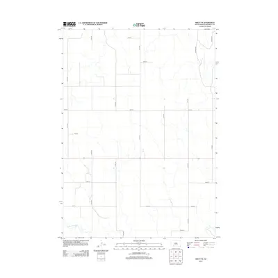
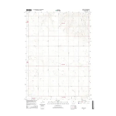
 1981 Swett1981 Print · USGSBennett County ranching country is captured here in the early 1980s, centered on the remote crossroads of Swett. Genealogists and local historians can locate the Gamble Cem, the Central Sch, and the winding banks of the White River.
 - 1983 Map of Martin
 1983 Martin1983 Print · USGSBennett County and the neighboring tribal lands appear here in the early eighties as a network of High Plains settlements and conservation areas. Researchers can trace tribal boundaries and local genealogy through sites like Pine Ridge Indian Reservation, Long Valley, and Arnold Ranch.
 - 1985 Map of Pine Ridge
 1985 Pine Ridge1985 Print · USGSThe Pine Ridge Indian Reservation and the edge of the Badlands are detailed in this mid-eighties survey of the South Dakota-Nebraska border. Researchers can trace the drainages of Wounded Knee Creek and White River to locate landmarks like Red Dog Table and Wounded Knee.2 unique versions available
 - 2012 Map of Swett, 2012 Print
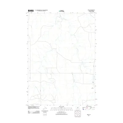
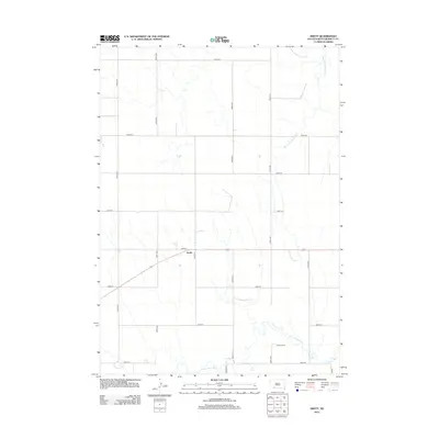 2012 Swett2012 Print · USGSCovers Allen, including Martin, Swett, and other nearby areas
 - 2012 Map of Batesland NW, 2012 Print
 2012 Batesland NW2012 Print · USGSCovers Allen, including Pine Ridge, Kyle, and other nearby areas
 - 2012 Map of Allen, 2012 Print
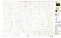
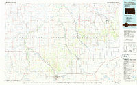
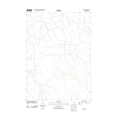
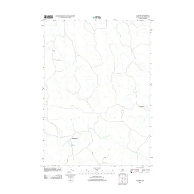
 2012 Allen2012 Print · USGSCovers Allen, including Bennett County, United States, and other nearby areas
 - 2012 Map of Kyle NE, 2012 Print
 2012 Kyle NE2012 Print · USGSCovers Allen, including Kyle, Oglala Lakota County, and other nearby areas
 - 2012 Map of Yellow Bear Camp SW, 2012 Print
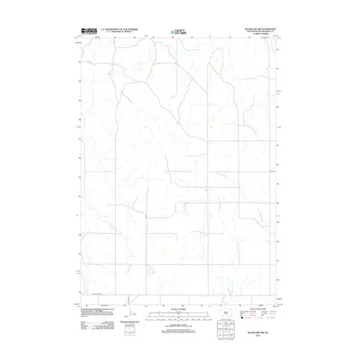
 2012 Yellow Bear Camp SW2012 Print · USGSCovers Allen, including Kyle, Oglala Lakota County, and other nearby areas
 - 2012 Map of Yellow Bear Camp, 2012 Print
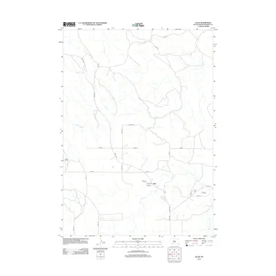
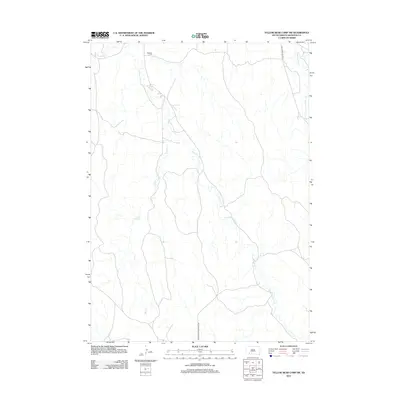
 2012 Yellow Bear Camp2012 Print · USGSCovers Allen, including Kyle, Oglala Lakota County, and other nearby areas
 - 2012 Map of Swett NE, 2012 Print
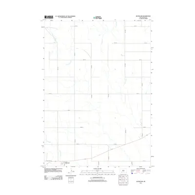
 2012 Swett NE2012 Print · USGSCovers Allen, including Martin, Bennett County, and other nearby areas
 - 2012 Map of Allen SE, 2012 Print
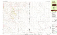
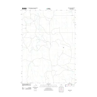
 2012 Allen SE2012 Print · USGSCovers Allen, including Martin, Bad Wound, and other nearby areas
 - 2012 Map of Hisle NW, 2012 Print
 2012 Hisle NW2012 Print · USGSCovers Allen, including Kyle, Wanblee, and other nearby areas
 - 2012 Map of Hisle, 2012 Print
 2012 Hisle2012 Print · USGSCovers Allen, including Martin, Wanblee, and other nearby areas
 - 2012 Map of Batesland, 2012 Print
 2012 Batesland2012 Print · USGSCovers Allen, including Pine Ridge, Martin, and other nearby areas
 - 2015 Map of Swett NE, 2015 Print
 2015 Swett NE2015 Print · USGSCovers Allen, including Martin, Bennett County, and other nearby areas
 - 2015 Map of Allen SE, 2015 Print
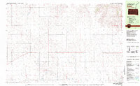
 2015 Allen SE2015 Print · USGSCovers Allen, including Martin, Bad Wound, and other nearby areas
 - 2015 Map of Swett, 2015 Print
 2015 Swett2015 Print · USGSCovers Allen, including Martin, Swett, and other nearby areas
Showing maps 1-25 of 55
Top cities near Allen
Top neighborhoods of Allen
Frequently asked questions
- What are the different types of historical maps available for Allen?
- What is the oldest map of Allen?
- Where can I purchase historical maps of Allen for my home or office?
- Where can I download high-res historical maps of Allen?
- Are there historical topographic maps available for Allen?
- Is there historical aerial imagery available for Allen?
- Where are historical maps of Allen sourced from?