Old Maps of Brookings Township, South Dakota for Metal Detecting
Plan your next treasure hunt with 13 historic maps of Brookings Township. Find old homesites, ghost towns, trails, and gathering spots that may be lost to time — perfect for identifying promising metal detecting locations.
- Locate forgotten sites: Uncover places like long-lost settlements, abandoned rail lines, or gathering spots.
- Plan better hunts: Use map overlays combined with LiDAR or satellite views to narrow in on historically rich areas.
- Made for detectorists: Thousands of hobbyists use these maps to discover relics, coins, and hidden history.
Use these historic maps to boost your research and find new opportunities beneath the surface of Brookings Township.
Brookings Township, SD maps
(13)- 1953 Map of Watertown, 1968 Print
 1953 Watertown1968 Print · USGSEastern South Dakota and the Minnesota borderlands are captured here during the mid-twentieth century as the region's agricultural and rail-service centers thrived. Genealogists and local historians can trace family-named sites across the Coteau des Prairies and find landmarks in Watertown, De Smet, and Brookings.3 unique versions available
 - 1958 Map of Watertown
 1958 Watertown1958 Print · USGSThe eastern South Dakota prairie and the Minnesota borderlands are captured here in the late fifties, showcasing a landscape of terminal moraine lakes and burgeoning rail hubs. Genealogists and historians can trace the early paths of the Chicago and North Western railroad or locate family roots in Watertown, Clark, or the Sisseton Indian Reservation.2 unique versions available
 - 1964 Map of Brookings, 1965 Print
 1964 Brookings1965 Print · USGSBrookings and the surrounding prairie townships appear here in the mid-1960s as a thriving regional center of education and industry. Genealogists and local historians can trace the town's expansion near South Dakota State University, locating Greenwood Cemetery and the Chicago and North Western rail line.2 unique versions available
 - 1968 Map of Volga, 1970 Print
 1968 Volga1970 Print · USGSEastern South Dakota’s prairie landscape is documented here in the late sixties, centered on the growing community of Volga. Researchers can trace local heritage through several pioneer burial grounds like Trinity Cem or locate the Townhall near Bethania Cem.
 - 1985 Map of Brookings
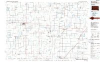 1985 Brookings1985 Print · USGSThe South Dakota and Minnesota borderlands in the mid-1980s are defined here by a network of prairie lakes and bustling rail corridors. Researchers can trace the path of the Chicago and North Western through Brookings or explore the numerous wetlands of Oakwood Lakes State Park.2 unique versions available
 - 2012 Map of Brookings, 2012 Print
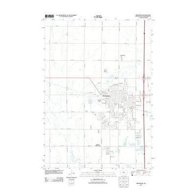 2012 Brookings2012 Print · USGSBrookings and its surrounding prairie landscapes are captured here in the early twenty-first century as a bustling university and agricultural hub. Researchers can trace the layout of South Dakota State University, locate Greenwood Cem, or explore the course of the Big Sioux River.
 - 2012 Map of Volga, 2012 Print
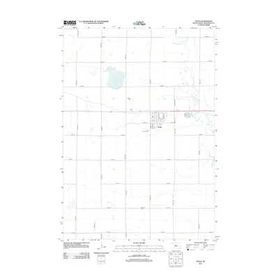 2012 Volga2012 Print · USGSThe Brookings County prairie around the turn of the twenty-first century is defined by the rigid grid of Volga and the winding Big Sioux River. Genealogists and local researchers can trace several community landmarks, from Lake Goldsmith to local sites like Trinity Cem and First Lutheran Cem.
 - 2015 Map of Brookings, 2015 Print
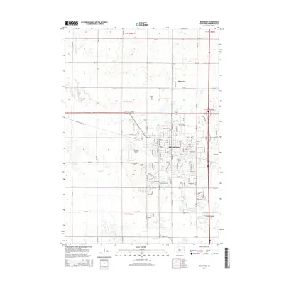 2015 Brookings2015 Print · USGSBrookings and the surrounding Coteau des Prairies are captured here in the mid-2010s as the university town expanded. Researchers can trace local genealogy and land use near South Dakota State University, Greenwood Cem, and the quiet hamlet of Sunnyview.
 - 2015 Map of Volga, 2015 Print
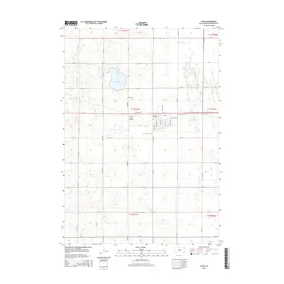 2015 Volga2015 Print · USGSThe community of Volga and its surrounding prairie townships are captured here during the mid-2010s. Researchers can locate ancestral landmarks including Hillside Cem, the meandering Big Sioux River, and Lake Goldsmith.
 - 2017 Map of Volga, 2017 Print
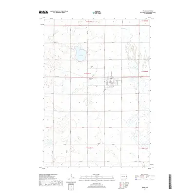 2017 Volga2017 Print · USGSThe Brookings County prairie around Volga is shown in detail during the early twenty-first century, bounded by the Big Sioux River. Researchers can trace local heritage through several burial sites including Hillside Cem, Kirby Cem, and Bethania Cem.
 - 2017 Map of Brookings, 2017 Print
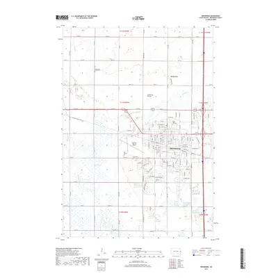 2017 Brookings2017 Print · USGSBrookings and the Coteau des Prairies come into focus during this period of 21st-century growth. Researchers can trace the expansion of South Dakota State University and locate historic burial sites like Scandinavian Lutheran Cemetery and A'Prairie Cemetery.
 - 2021 Map of Volga, 2021 Print
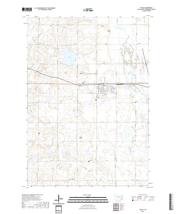 2021 Volga2021 Print · USGSThe glacial highlands of the Coteau des Prairies define this Brookings County landscape as it appeared in the early 2020s. Researchers can locate several burial sites like Hillside Cem and Bethania Cem or trace the Big Sioux River shoreline.
 - 2021 Map of Brookings, 2021 Print
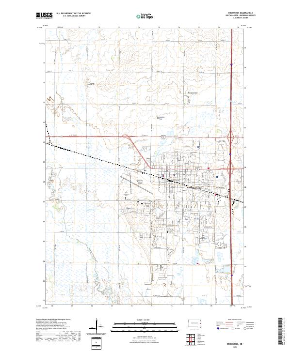 2021 Brookings2021 Print · USGSBrookings and its surrounding prairies are captured here in the early twenty-first century as the city continues to expand around the state's largest university. Researchers can locate legacy family sites like Scandinavian Lutheran Cem and Greenwood Cem or trace the Jay Heath Canoe & Kayak Trl along the western creeks.
End of results
Showing maps 1-13 of 13
Top cities near Brookings Township
- Brookings historical maps
- Volga historical maps
- Medary historical maps
- White historical maps
- Aurora historical maps
- Bruce historical maps
See more
Top neighborhoods of Brookings Township
Frequently asked questions
- What are the different types of historical maps available for Brookings Township?
- What is the oldest map of Brookings Township?
- Where can I purchase historical maps of Brookings Township for my home or office?
- Where can I download high-res historical maps of Brookings Township?
- Are there historical topographic maps available for Brookings Township?
- Is there historical aerial imagery available for Brookings Township?
- Where are historical maps of Brookings Township sourced from?