Old Maps of Bull Creek Segment, South Dakota for Metal Detecting
Plan your next treasure hunt with 80 historic maps of Bull Creek Segment. Find old homesites, ghost towns, trails, and gathering spots that may be lost to time — perfect for identifying promising metal detecting locations.
- Locate forgotten sites: Uncover places like long-lost settlements, abandoned rail lines, or gathering spots.
- Plan better hunts: Use map overlays combined with LiDAR or satellite views to narrow in on historically rich areas.
- Made for detectorists: Thousands of hobbyists use these maps to discover relics, coins, and hidden history.
Use these historic maps to boost your research and find new opportunities beneath the surface of Bull Creek Segment.
Bull Creek Segment, SD maps
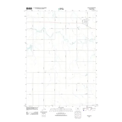
(80)- 1952 Map of Hamill NW, 1954 Print
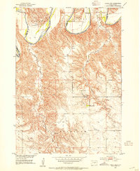 1952 Hamill NW1954 Print · USGSThe ranchlands of Tripp and Lyman County are captured here in the early 1950s as the Missouri River Basin development program began. Researchers can trace historic family holdings like the Schooler Ranch or locate vanished rural schoolhouses such as Bellwood Sch and Gassman Sch.2 unique versions available
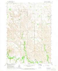
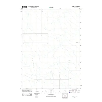
 - 1952 Map of Hamill NE, 1954 Print
 1952 Hamill NE1954 Print · USGSLyman County settlement along the White River is documented here in the early fifties, just as the regional landscape was being reshaped. Genealogists can locate family-named school sites like Lindgren Sch and Walcott Sch before the Missouri River Basin development.
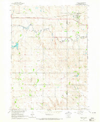
 - 1955 Map of Mitchell, 1973 Print
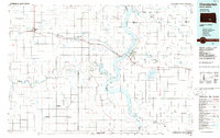
 1955 Mitchell1973 Print · USGSThe Missouri River valley undergoes a massive transformation in the mid-1950s as the Fort Randall Dam creates Lake Francis Case. You can trace the rail lines of the Chicago Milwaukee St Paul and Pacific through Mitchell or locate local landmarks like Butler Town Hall.2 unique versions available
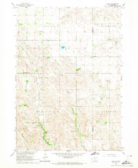
 - 1959 Map of Mitchell
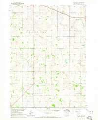
 1959 Mitchell1959 Print · USGSSouth Dakota’s river and rail corridors come alive in the late fifties as the Missouri River valley undergoes dramatic change. Genealogists and historians can trace family roots through numerous small towns and schools such as Academy, Stickney, and Gregory.2 unique versions available
 - 1964 Map of Dallas SW, 1965 Print
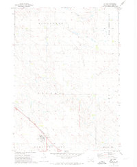
 1964 Dallas SW1965 Print · USGSThe Keya Paha River country of south-central South Dakota appears here in the mid-1960s, showing a landscape of remote townships and prairie creeks. Genealogists can trace rural family sites near Gibson Cem, Free Methodist Ch, and Highland Sch.
 - 1964 Map of Dallas, 1965 Print
 1964 Dallas1965 Print · USGSGregory County in the mid-1960s reveals a structured prairie landscape centered on the rail-side town of Dallas. Local historians and genealogists can trace the distribution of early rural education through sites like Melrose Sch, North Lincoln Sch, and Pleasant Valley Sch.
 - 1964 Map of Paxton, 1965 Print
 1964 Paxton1965 Print · USGSTripp and Gregory Counties are captured here in the mid-sixties, showcasing a landscape of small-town centers and distributed rural school districts. Genealogists can trace family footprints near Paxton, the Paxton Church, and several local landmarks like South Lincoln Sch.
 - 1964 Map of Dallas NW, 1965 Print
 1964 Dallas NW1965 Print · USGSThe Tripp County prairie in the mid-1960s shows a landscape of steady agricultural settlement and rail infrastructure. Genealogists and local historians can trace community life through the Kansas Flat Sch, Calvary Chapel, and the path of the Chicago and North Western railroad.2 unique versions available
 - 1971 Map of Hamill SE, 1974 Print
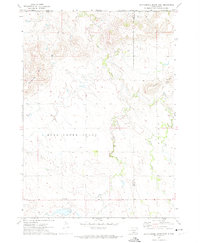
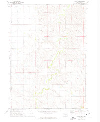 1971 Hamill SE1974 Print · USGSThe South Dakota prairie at the start of the 1970s is captured here, straddling the line between Tripp and Lyman counties. Genealogists and historians can trace the Rosebud Indian Reservation Boundary and locate the Fairview Sch among the drainages of Bull Creek.
 - 1971 Map of Colome, 1974 Print
 1971 Colome1974 Print · USGSThe South Dakota prairie around Colome is captured here in the early seventies, showing the area as it appeared within the Rosebud Indian Reservation. Genealogists and local historians can trace the Chicago and North Western rail line and locate rural townships like Elliston and Plainview.
 - 1971 Map of Dixon SW, 1974 Print
 1971 Dixon SW1974 Print · USGSGregory County's agricultural heartland is documented here in the early seventies, showing the established section lines and rural townships. Researchers can trace the meandering paths of Bull Creek and Lone Tree Creek through Dixon and Edens.
 - 1971 Map of Rattlesnake Butte East, 1974 Print
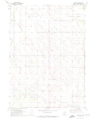
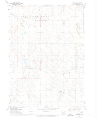
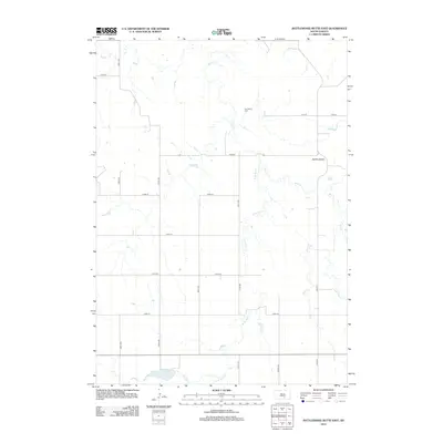
 1971 Rattlesnake Butte East1974 Print · USGSTripp and Lyman Counties at the edge of the Rosebud Reservation appear in the early 1970s as a landscape of remote schoolhouses and creek-side cemeteries. Researchers can locate the Mini Ska Ch, Bijou Sch, and Our Savior Cem among the elevations of Rattlesnake Butte.
 - 1971 Map of Hamill, 1974 Print
 1971 Hamill1974 Print · USGSTripp County ranch lands and the Rosebud Indian Reservation are shown in detail during the early seventies. Genealogists and local historians can locate the Hamill settlement and trace rural landmarks like the Center Moss Sch and the Cem along No Moccasin Creek.2 unique versions available
 - 1971 Map of Rattlesnake Butte West, 1974 Print
 1971 Rattlesnake Butte West1974 Print · USGSTripp County and the Rosebud Indian Reservation are shown in the early seventies, capturing the isolated ranching life of the South Dakota plains. Researchers can locate remote rural features like the Plainview Sch and water landmarks such as Moccasin Creek and the Flowing Well.
 - 1971 Map of Dixon, 1974 Print
 1971 Dixon1974 Print · USGSGregory County's prairie landscape is shown in the early seventies, centered on the rural community of Dixon. Genealogists and local historians can locate the Dixon Cem, the site of the Hawk Sch, and landmarks like Buffalo Buttes.
 - 1971 Map of Colome SE, 1974 Print
 1971 Colome SE1974 Print · USGSThe Rosebud Indian Reservation countryside comes into focus in the early 1970s at the Tripp and Gregory county line. Genealogists and local historians can trace drainage patterns along Bull Creek and locate early infrastructure like Gravel Pits and the Spillway Elev 2081.
 - 1971 Map of Dixon NE, 1974 Print
 1971 Dixon NE1974 Print · USGSThe Missouri River breaks of Gregory and Lyman counties are captured here in the early seventies, detailing the newly formed Lake Francis Case. Researchers can trace the Rosebud Indian Reservation Boundary and locate landmarks like Berry Spring and Landing Creek.
 - 1986 Map of Winner
 1986 Winner1986 Print · USGSTripp and Gregory Counties are captured in the mid-eighties as the agricultural heartland centered on the Chicago and North Western line. Genealogists can trace family footprints near St Charles, Paxton, and Winner, or explore the shoreline of Lake Francis Case.2 unique versions available
 - 1986 Map of Chamberlain
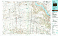
 1986 Chamberlain1986 Print · USGSCentral South Dakota during the mid-eighties shows a landscape shaped by the Missouri River and the rise of Interstate 90. Researchers can trace the development of river towns like Chamberlain and Oacoma or locate remote landmarks like Bijou Hills and Hamill.2 unique versions available
 - 1990 Map of Mitchell, 1991 Print
 1990 Mitchell1991 Print · USGSThe Missouri River and the surrounding South Dakota plains are captured here in the early nineties, showing a landscape shaped by water and wire. Genealogists and historians can trace the gridded townships from Mitchell to the Bijou Hills, locating sites like the Platte Colony and Academy.
 - 2012 Map of Rattlesnake Butte West, 2012 Print
 2012 Rattlesnake Butte West2012 Print · USGSCovers Bull Creek Segment, including Ideal Segment, Tripp County, and other nearby areas
 - 2012 Map of Dallas, 2012 Print
 2012 Dallas2012 Print · USGSCovers Bull Creek Segment, including Dallas, Tripp County, and other nearby areas
 - 2012 Map of Hamill SE, 2012 Print
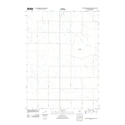
 2012 Hamill SE2012 Print · USGSCovers Bull Creek Segment, including Tripp County, Lyman County, and other nearby areas
 - 2012 Map of Paxton, 2012 Print
 2012 Paxton2012 Print · USGSCovers Bull Creek Segment, including Tripp County, Gregory County, and other nearby areas
 - 2012 Map of Rattlesnake Butte East, 2012 Print
 2012 Rattlesnake Butte East2012 Print · USGSCovers Bull Creek Segment, including Tripp County, Lyman County, and other nearby areas
Showing maps 1-25 of 80
Top cities near Bull Creek Segment
- Gregory historical maps
- Colome historical maps
- Ideal Segment historical maps
- Dallas historical maps
- Dixon historical maps
- Iona historical maps
Frequently asked questions
- What are the different types of historical maps available for Bull Creek Segment?
- What is the oldest map of Bull Creek Segment?
- Where can I purchase historical maps of Bull Creek Segment for my home or office?
- Where can I download high-res historical maps of Bull Creek Segment?
- Are there historical topographic maps available for Bull Creek Segment?
- Is there historical aerial imagery available for Bull Creek Segment?
- Where are historical maps of Bull Creek Segment sourced from?