
1964 Map of Dallas SW
USGS Topo · Published 1965About this map
The Keya Paha Valley defines this mid-century landscape along the Keya Paha River, where a network of rural schools and small cemeteries served the ranching and farming communities of Stewart and Lincoln townships. The topography is shaped by drainage into the river from Rock Bridge Creek and Deep Creek, creating a series of breaks and valleys characteristic of south-central South Dakota. Rural education remained localized during this era, evidenced by the distribution of Hillcrest Sch, Highland Sch, and New Nixon Sch across the quadrangle. Small-scale industrial activity is limited to scattered Gravel Pit operations, while local history is preserved at the Gibson Cem and the Free Methodist Ch. The survey documents a transition in land use, showing the established section lines and unimproved roads that connected these isolated prairie outposts.
Find a feature on this map
13 named features on this map. Tap any name to fly to it.
Don’t see what you’re looking for? This feature index may not catch every label — zoom into the map to look around manually.
Map Details
Editions of this 1964 Dallas SW Map
This is the sole edition of this map. No revisions or reprints were ever made.
Other maps of this area

1955 · Mitchell
USGS Topo · 1:250,000

1955 · O'Neill
USGS Topo · 1:250,000

1959 · O'Neill
USGS Topo · 1:250,000

1959 · Mitchell
USGS Topo · 1:250,000

1964 · Dallas
USGS Topo · 1:24,000

1964 · Paxton
USGS Topo · 1:24,000
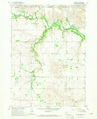
1964 · Burton
USGS Topo · 1:24,000
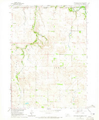
1964 · Springview NW
USGS Topo · 1:24,000

1964 · Dallas NW
USGS Topo · 1:24,000
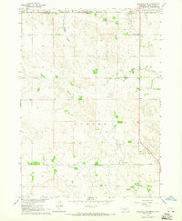
1964 · Meadville NE
USGS Topo · 1:24,000