2010s Maps of Bull Creek Segment, South Dakota
Explore 45 historic maps of Bull Creek Segment from the 2010s. These maps offer a rare glimpse into what life looked like during the 2010s — showing old roads, neighborhoods, homes, and landmarks that have changed or disappeared over time.
Whether you're researching your family's past, planning a metal detecting trip, or studying how Bull Creek Segment's landscape evolved across the 2010s, these high-resolution maps are a powerful tool for exploring the history of this region.
- Focus on a specific era: All maps on this page are from the 2010s, giving you a focused view of this time period.
- See what’s changed: Compare century-old streets, trails, and buildings to today's modern landscape using overlays and satellite layers.
- Research with precision: Use these maps for genealogy, historical research, land use analysis, or educational projects.
- View, download, or print: Maps are fully viewable online in high resolution, and can be downloaded or printed for your own records.
Start exploring Bull Creek Segment's history through authentic maps from the 2010s. This is your window into the past.
Bull Creek Segment, SD maps
(45)- 2012 Map of Rattlesnake Butte West, 2012 Print
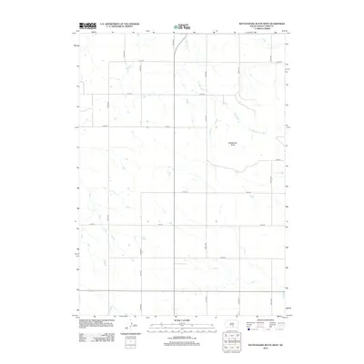 2012 Rattlesnake Butte West2012 Print · USGSTripp County's rural landscape is captured here in the early twenty-first century, showing the enduring grid of the South Dakota prairie. Genealogists and local historians can trace land tracts near Rattlesnake Butte and the drainage of No Moccasin Cr.
 - 2012 Map of Dallas, 2012 Print
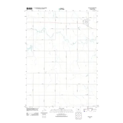 2012 Dallas2012 Print · USGSGregory County farmland and the town of Dallas are shown in this 2012 study, during a time when the rural landscape remained anchored by its section roads and small cemeteries. Researchers can locate Dallas Cem, Hillview Cem, and the path of Ponca Creek.
 - 2012 Map of Hamill SE, 2012 Print
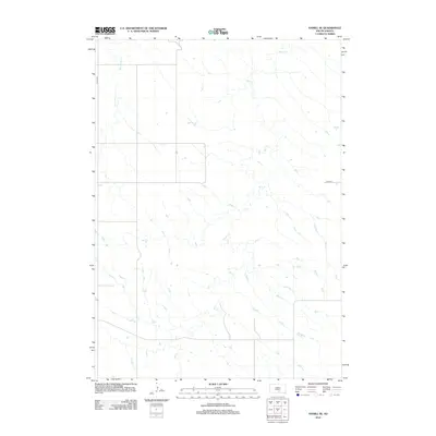 2012 Hamill SE2012 Print · USGSThe South Dakota prairie appears in the early twenty-first century as a landscape defined by its natural watercourses and sparse section-line roads. Genealogists and land researchers can trace the drainage patterns of Bull Creek and Black Dog Creek alongside local routes like 264th St.
 - 2012 Map of Paxton, 2012 Print
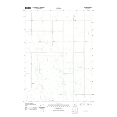 2012 Paxton2012 Print · USGSThis South Dakota landscape near the Nebraska border shows the rural community of Paxton during the early twenty-first century. Genealogists and local historians can trace the paths of Buffalo Cr and Lute Cr as they weave through a grid of local routes like Viaduct Rd.
 - 2012 Map of Rattlesnake Butte East, 2012 Print
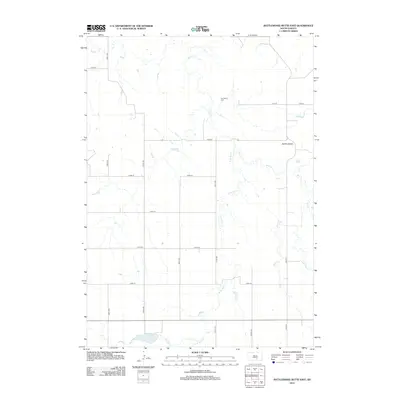 2012 Rattlesnake Butte East2012 Print · USGSSouth Dakota's ranching country is mapped here in the early twenty-first century, showing a landscape shaped by prairie drainages and a rigid road grid. Researchers can locate Our Savior Cem and track the rugged terrain surrounding the Buffalo Buttes.
 - 2012 Map of Dallas SW, 2012 Print
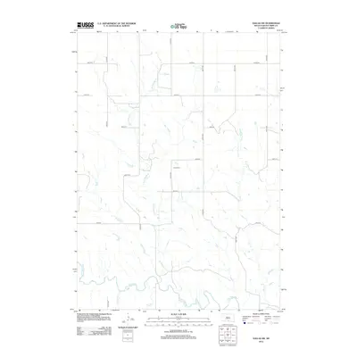 2012 Dallas SW2012 Print · USGSTripp County's rural landscape is captured here during the early twenty-first century, showing the enduring grid of section roads and prairie waterways. Genealogists and local historians can locate the Gibson Cem and trace the winding course of the Keya Paha River.
 - 2012 Map of Colome, 2012 Print
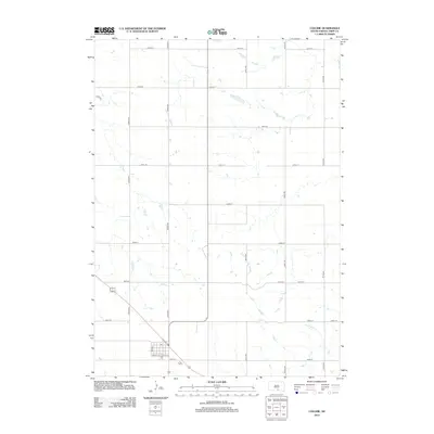 2012 Colome2012 Print · USGSColome and the surrounding plains of Tripp County are captured here during the early twenty-first century. Genealogists and local historians can trace the town's grid from Main St to the Po, or follow the drainage of W Br Bull Cr across the prairie.
 - 2012 Map of Dixon, 2012 Print
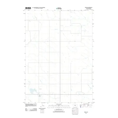 2012 Dixon2012 Print · USGSThe rural prairie landscape of Gregory County comes into focus in this early 2010s survey of the Dixon area. Genealogists and local historians can locate the Dixon Cem and trace the paths of Fivemile Cr and Lake Burch across the plains.
 - 2012 Map of Colome SE, 2012 Print
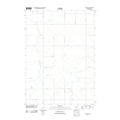 2012 Colome SE2012 Print · USGSIn the early twenty-first century, this Tripp County landscape remains defined by its rhythmic section-line roads and the winding path of Bull Cr. Researchers can trace the rural infrastructure from Viduact Rd to the regional junction at Co Hwy-10a.
 - 2012 Map of Dixon SW, 2012 Print
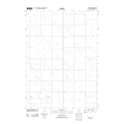 2012 Dixon SW2012 Print · USGSGregory County was established as a region of sparse homesteads and grazing land long before this early twenty-first-century survey. You can trace the intricate prairie drainage of Bull Cr and the rural road network including CO HWY-38 and CO HWY-8.
 - 2012 Map of Dallas NW, 2012 Print
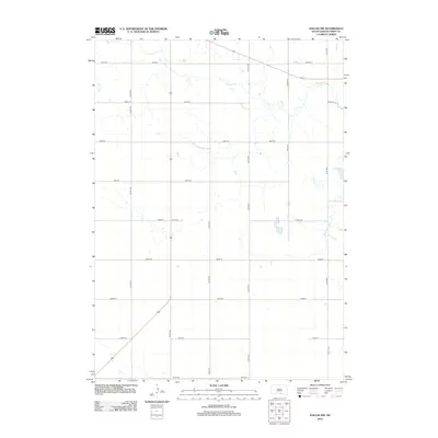 2012 Dallas NW2012 Print · USGSTripp County ranchlands are captured in this recent survey of the South Dakota high plains. Researchers can trace the drainage of Ponca Cr and locate water features like Roosevelt Lake across the section-line grids of 287th St and 327th Ave.
 - 2012 Map of Dixon NE, 2012 Print
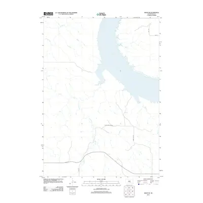 2012 Dixon NE2012 Print · USGSThe Missouri River valley in Brule County is shown here during the early twenty-first century, centered on the western shore of the reservoir. Researchers can trace the varied drainages of Landing Cr and Dry Cr or locate local landmarks like Berry Spring.
 - 2012 Map of Hamill NE, 2012 Print
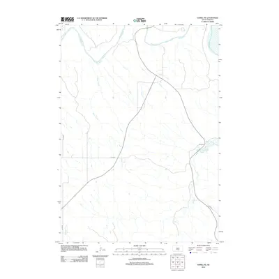 2012 Hamill NE2012 Print · USGSTripp County's rural prairie landscape is documented here in the early twenty-first century, showing the intersection of natural waterways and the section-line road grid. Genealogists and researchers can trace the course of the White River and local landmarks like Bull Cr and Waver Tree Br.
 - 2012 Map of Hamill, 2012 Print
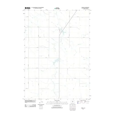 2012 Hamill2012 Print · USGSTripp County, South Dakota, is captured here in the early twenty-first century as a landscape of grid-patterned agriculture and vital water resources. Researchers can trace rural property boundaries along Co Rd-6140 or locate local landmarks like Hamill Dam Reservoir and Covey Dam.
 - 2012 Map of Hamill NW, 2012 Print
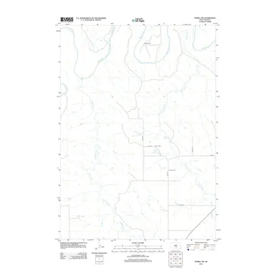 2012 Hamill NW2012 Print · USGSTripp County ranchlands appear in detail in this modern survey of the South Dakota prairie. Researchers can trace land ownership through family-named landmarks such as Schooler Ranch and Nelson Ranch along the banks of Black Dog Cr.
 - 2015 Map of Dixon SW, 2015 Print
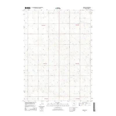 2015 Dixon SW2015 Print · USGSGregory County's prairie landscape is captured here in the mid-2010s, showing the intersection of rural section lines and natural waterways. Genealogists and land researchers can trace property locations along Bull Creek, Lone Tree Creek, and Pheasant Road.
 - 2015 Map of Dixon NE, 2015 Print
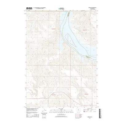 2015 Dixon NE2015 Print · USGSThe Missouri River valley along the Gregory and Charles Mix county line is captured here in the mid-2010s. Modern researchers can trace the expansive waters of Lake Francis Case and follow rural routes like S Landing Creek Rd through the plains.
 - 2015 Map of Colome, 2015 Print
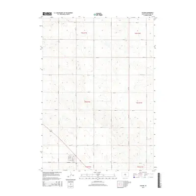 2015 Colome2015 Print · USGSTripp County in the early twenty-first century maintains a structured grid of agricultural roads surrounding the town of Colome. Genealogists and local historians can trace property lines along Main St and Boyd St or follow the path of W Bull Cr through the southern sections.
 - 2015 Map of Hamill NW, 2015 Print
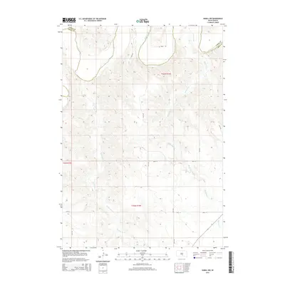 2015 Hamill NW2015 Print · USGSTripp and Lyman Counties are captured in this mid-2010s survey, showing the rural section lines and watercourses north of Hamill. Genealogists and land researchers can trace property boundaries near White River and the branches of Black Dog Cr.
 - 2015 Map of Hamill NE, 2015 Print
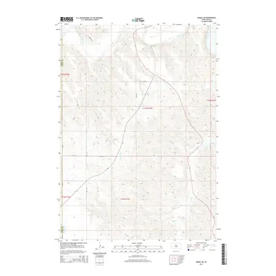 2015 Hamill NE2015 Print · USGSTripp and Lyman Counties are captured in this mid-2010s survey as the landscape transitions toward the White River valley. Researchers can trace the path of the Bull Cr drainage or locate family land tracts near Holmquist Rd and 328th Ave.
 - 2015 Map of Dallas, 2015 Print
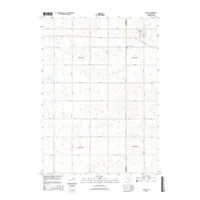 2015 Dallas2015 Print · USGSThe community of Dallas and its surrounding prairie lands are captured here in the mid-2010s. Genealogists and local historians can trace the town grid and nearby landmarks like Hillview Cem or follow the drainage of Bull Cr.
 - 2015 Map of Rattlesnake Butte East, 2015 Print
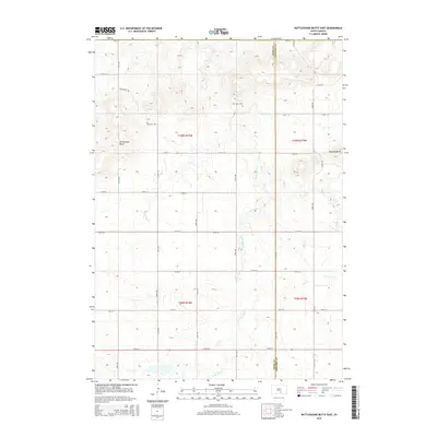 2015 Rattlesnake Butte East2015 Print · USGSThe high plains of Tripp and Gregory counties are captured in this mid-2010s survey, showing a landscape defined by ranch roads and natural landmarks. Researchers can trace the drainages of Bull Creek and locate local sites such as Our Savior Cem.
 - 2015 Map of Rattlesnake Butte West, 2015 Print
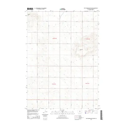 2015 Rattlesnake Butte West2015 Print · USGSTripp County at the start of the twenty-first century reveals a landscape defined by its prominent landforms and agricultural grids. Trace rural property boundaries and drainage patterns around Rattlesnake Butte, Bradleyon Butte, and No Moccasin Cr.
 - 2015 Map of Dixon, 2015 Print
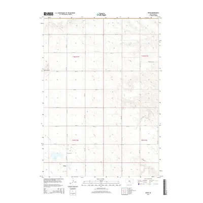 2015 Dixon2015 Print · USGSGregory County's agricultural heartland is documented here in the early twenty-first century, centered on the village of Dixon. Researchers can locate family plots at Dixon Cem or trace the drainage of Lone Tree Cr near the Buffalo Buttes.
 - 2015 Map of Dallas NW, 2015 Print
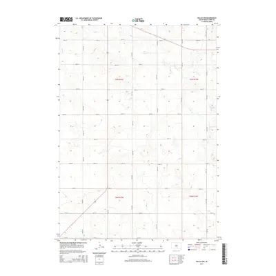 2015 Dallas NW2015 Print · USGSTripp County at the midpoint of the 2010s remains a landscape of precisely gridded prairie and remote drainages. Genealogists and land researchers can trace property boundaries and rural routes like 327th Ave or locate the waters of Ponca Cr and Roosevelt Lake.
Showing maps 1-25 of 45
Top cities near Bull Creek Segment
- Gregory historical maps
- Colome historical maps
- Ideal Segment historical maps
- Dallas historical maps
- Dixon historical maps
- Iona historical maps
Frequently asked questions
- What are the different types of historical maps available for Bull Creek Segment?
- What is the oldest map of Bull Creek Segment?
- Where can I purchase historical maps of Bull Creek Segment for my home or office?
- Where can I download high-res historical maps of Bull Creek Segment?
- Are there historical topographic maps available for Bull Creek Segment?
- Is there historical aerial imagery available for Bull Creek Segment?
- Where are historical maps of Bull Creek Segment sourced from?