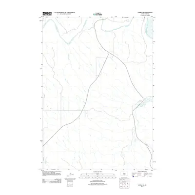
2012 Map of Hamill NE
USGS Topo · Published 2012About this map
The White River defines the northern reaches of this rural landscape, carving a wide valley where small tributaries like Sand Cr and Waver Tree Br descend through the undulating terrain. This 2012 survey illustrates the section-line road system characteristic of the Great Plains, where 327th Ave and 257th St form a rigid grid across the prairie. The geography is shaped largely by its drainage patterns, with Bull Cr winding through the southern half of the map while Black Dog Cr appears in the southwestern corner. Transportation in this part of Tripp County is facilitated by Sound 47, a route that cuts diagonally across the established section lines to follow the more favorable topography of the river bluffs and creek beds.
Find a feature on this map
8 named features on this map. Tap any name to fly to it.
Don’t see what you’re looking for? This feature index may not catch every label — zoom into the map to look around manually.
Map Details
Editions of this 2012 Hamill NE Map
This is the sole edition of this map. No revisions or reprints were ever made.
Other maps of this area

1935 · Chamberlain
USGS Topo · 1:62,500

1939 · Chamberlain
USGS Topo · 1:62,500

1940 · Iona
USGS Topo · 1:62,500

1944 · Iona
USGS Topo · 1:62,500

1952 · Reliance SW
USGS Topo · 1:24,000

1952 · Reliance SE
USGS Topo · 1:24,000

1952 · Hamill NW
USGS Topo · 1:24,000

1952 · Hamill NE
USGS Topo · 1:24,000

1952 · Oacoma
USGS Topo · 1:24,000

1952 · Iona NW
USGS Topo · 1:24,000