Old Maps of Clark, South Dakota for Academic Research
Study the evolution of Clark with 18 high-resolution historic maps. Whether you're teaching, researching, or modeling changes in land use, these maps provide essential visual documentation of urban, environmental, and geographic change.
- Analyze long-term change: Track patterns in development, transportation, and natural features.
- Ideal for environmental or urban studies: Support academic projects with primary historical map data.
- Use in the classroom or lab: Educators and researchers rely on these maps to bring historical context to life.
These maps are a powerful tool for teaching, research, and visualizing how Clark has changed over the decades.
Clark, SD maps
(18)- 1953 Map of Watertown, 1968 Print
 1953 Watertown1968 Print · USGSEastern South Dakota and the Minnesota borderlands are captured here during the mid-twentieth century as the region's agricultural and rail-service centers thrived. Genealogists and local historians can trace family-named sites across the Coteau des Prairies and find landmarks in Watertown, De Smet, and Brookings.3 unique versions available
 - 1958 Map of Watertown
 1958 Watertown1958 Print · USGSThe eastern South Dakota prairie and the Minnesota borderlands are captured here in the late fifties, showcasing a landscape of terminal moraine lakes and burgeoning rail hubs. Genealogists and historians can trace the early paths of the Chicago and North Western railroad or locate family roots in Watertown, Clark, or the Sisseton Indian Reservation.2 unique versions available
 - 1973 Map of Baileys Lake, 1978 Print
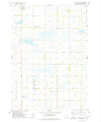
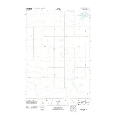
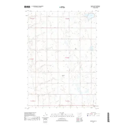
 1973 Baileys Lake1978 Print · USGSThe prairie wetlands of Clark County are captured here in the early seventies, showing a landscape of scattered farmsteads and rural townships. Genealogists and local historians can locate Clark Center Ch, the small community of Baily, and the Cem.
 - 1973 Map of Clark South, 1978 Print
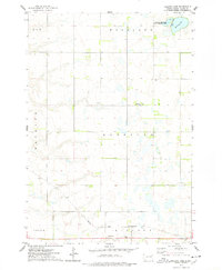
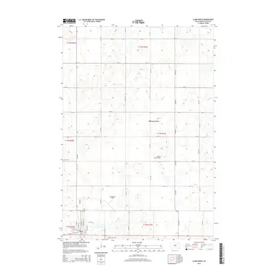
 1973 Clark South1978 Print · USGSThe town of Clark and the surrounding South Dakota prairie wetlands are captured here in the early seventies. Genealogists and local historians can trace section lines across Lincoln and Day townships or locate rural landmarks like the Townhall and Antelope Lake.
 - 1973 Map of Clark North, 1978 Print
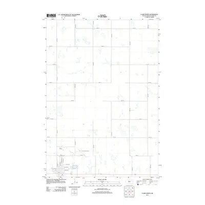
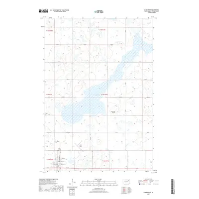
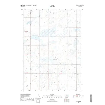
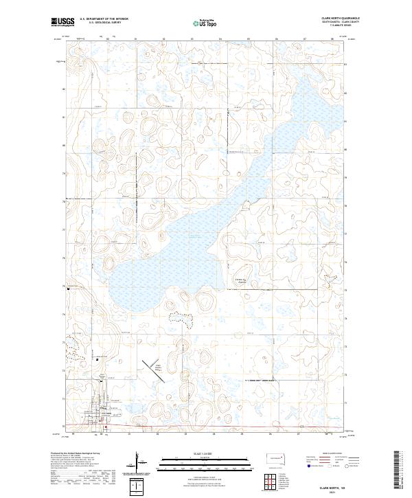
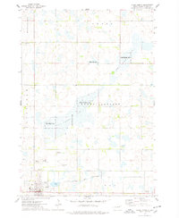 1973 Clark North1978 Print · USGSThe eastern South Dakota prairie comes into focus in the early 1970s, centered on the wetlands and hunting grounds of Clark County. Researchers can trace local lineage and land use through Rose Hill Cemetery, the Chicago and North Western rail corridor, and the County Fairground.
 - 1985 Map of Watertown
 1985 Watertown1985 Print · USGSEastern South Dakota in the mid-eighties remains a landscape of expansive prairie wetlands and agricultural rail towns. Genealogists and local historians can trace the routes of the CHICAGO AND NORTH WESTERN railroad through Garden City, Vienna, and Watertown.2 unique versions available
 - 2012 Map of Clark South, 2012 Print
 2012 Clark South2012 Print · USGSCovers Clark, including Clark County, United States, and other nearby areas
 - 2012 Map of Baileys Lake, 2012 Print
 2012 Baileys Lake2012 Print · USGSCovers Clark, including Clark County, United States, and other nearby areas
 - 2012 Map of Clark North, 2012 Print
 2012 Clark North2012 Print · USGSCovers Clark, including Hillcrest Hutterite Colony, Clark County, and other nearby areas
 - 2015 Map of Baileys Lake, 2015 Print
 2015 Baileys Lake2015 Print · USGSCovers Clark, including Clark County, United States, and other nearby areas
 - 2015 Map of Clark South, 2015 Print
 2015 Clark South2015 Print · USGSCovers Clark, including Clark County, United States, and other nearby areas
 - 2015 Map of Clark North, 2015 Print
 2015 Clark North2015 Print · USGSCovers Clark, including Hillcrest Hutterite Colony, Clark County, and other nearby areas
 - 2017 Map of Baileys Lake, 2017 Print
 2017 Baileys Lake2017 Print · USGSCovers Clark, including Clark County, United States, and other nearby areas
 - 2017 Map of Clark North, 2017 Print
 2017 Clark North2017 Print · USGSCovers Clark, including Hillcrest Hutterite Colony, Clark County, and other nearby areas
 - 2017 Map of Clark South, 2017 Print
 2017 Clark South2017 Print · USGSCovers Clark, including Clark County, United States, and other nearby areas
 - 2021 Map of Clark South, 2021 Print
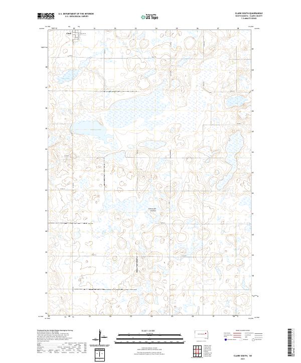 2021 Clark South2021 Print · USGSThe southern edge of Clark meets the high prairie plateau in the early twenty-first century. Genealogists and land researchers can trace the section-line roads and rural boundaries surrounding Antelope Lake, Mud Lake, and the distinctive Coteau des Prairies.
 - 2021 Map of Baileys Lake, 2021 Print
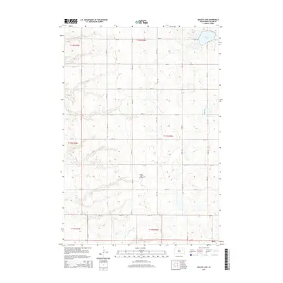
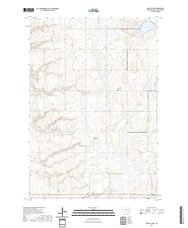 2021 Baileys Lake2021 Print · USGSThe upland plateau of the South Dakota prairie is captured here in the early 2020s, showing a landscape defined by glacial potholes and rural township grids. Researchers can locate family sites near Clark or trace local heritage at the Clark Center Church Cem.
 - 2021 Map of Clark North, 2021 Print
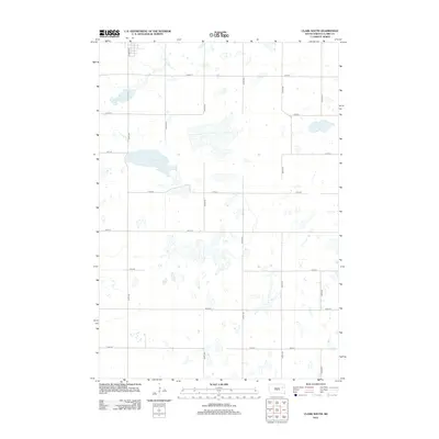
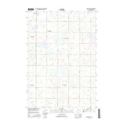
 2021 Clark North2021 Print · USGSThe eastern South Dakota plains near Clark are captured here in the early 2020s, showing a landscape defined by glacial wetlands and agriculture. Genealogists can locate several historic burial sites, including Pioneer Cem and Rose Hill Cem.
End of results
Showing maps 1-18 of 18
Top cities near Clark
- Bradley historical maps
- Elrod historical maps
- Raymond historical maps
- Vienna historical maps
- Garden City historical maps
- Naples historical maps
Frequently asked questions
- What are the different types of historical maps available for Clark?
- What is the oldest map of Clark?
- Where can I purchase historical maps of Clark for my home or office?
- Where can I download high-res historical maps of Clark?
- Are there historical topographic maps available for Clark?
- Is there historical aerial imagery available for Clark?
- Where are historical maps of Clark sourced from?