Old Maps of Davison County, South Dakota for Academic Research
Study the evolution of Davison County with 92 high-resolution historic maps. Whether you're teaching, researching, or modeling changes in land use, these maps provide essential visual documentation of urban, environmental, and geographic change.
- Analyze long-term change: Track patterns in development, transportation, and natural features.
- Ideal for environmental or urban studies: Support academic projects with primary historical map data.
- Use in the classroom or lab: Educators and researchers rely on these maps to bring historical context to life.
These maps are a powerful tool for teaching, research, and visualizing how Davison County has changed over the decades.
Davison County, SD maps
(92)- 1898 Map of Olivet
 1898 Olivet1898 Print · USGSHutchinson County at the close of the nineteenth century was a landscape of emerging rail towns and river valley farmsteads. Trace the early expansion of the Chicago Milwaukee and St Paul RR near Olivet and Scotland.4 unique versions available
 - 1899 Map of Mitchell
 1899 Mitchell1899 Print · USGSSoutheastern South Dakota is captured during the era of rapid railroad expansion and prairie settlement. Genealogists can trace the early rail stops at Mt. Vernon and Letcher, or locate old watercourses like Enemy Creek and the James River.3 unique versions available
 - 1899 Map of Alexandria
 1899 Alexandria1899 Print · USGSHanson County and the James River valley are captured here at the peak of the late-nineteenth-century rail boom. Genealogists can trace family footprints in early settlements like Rockport, Epiphany, and Alexandria or follow the path of the James River.5 unique versions available
 - 1955 Map of Sioux Falls, 1967 Print
 1955 Sioux Falls1967 Print · USGSThe eastern South Dakota and western Minnesota borderlands come alive in the mid-fifties, showing the vital rail-to-river connections of the era. Genealogists can trace family footprints across townships like Madison and Pipestone, while following the paths of the Big Sioux River and the Chicago and North Western line.3 unique versions available
 - 1955 Map of Mitchell, 1973 Print
 1955 Mitchell1973 Print · USGSThe Missouri River valley undergoes a massive transformation in the mid-1950s as the Fort Randall Dam creates Lake Francis Case. You can trace the rail lines of the Chicago Milwaukee St Paul and Pacific through Mitchell or locate local landmarks like Butler Town Hall.2 unique versions available
 - 1957 Map of Ethan, 1958 Print
 1957 Ethan1958 Print · USGSSouth Dakota's agricultural heartland is captured here in the mid-fifties, centered on the rail-aligned town of Ethan. Genealogists and historians can trace the transition of rural education via active and defunct sites like Coyne Sch and Clark Sch.
 - 1957 Map of Loomis, 1958 Print
 1957 Loomis1958 Print · USGSThe prairie landscape of Davison County in the late fifties is captured here through its network of rural schoolhouses and rail lines. Genealogists can locate specific homestead regions near Loomis and trace historical landmarks like Titus Sch and the CHICAGO MILWAUKEE ST PAUL AND PACIFIC railroad.2 unique versions available
 - 1957 Map of Riverside, 1959 Print
 1957 Riverside1959 Print · USGSThe James River valley near the Hanson and Davison county line comes into focus during the late fifties, showing a landscape defined by rail and river. Genealogists can trace rural school districts like Bard Sch and family-named landmarks like Enemy Creek.2 unique versions available
 - 1957 Map of Farwell, 1959 Print
 1957 Farwell1959 Print · USGSHanson County's prairie townships are captured here in the late fifties, showing a rural landscape defined by the winding James River. Genealogists can locate family landmarks such as the Rock Creek Cem, Farwell Ch, and several local schools including Grant Sch.2 unique versions available
 - 1957 Map of Mitchell, 1959 Print
 1957 Mitchell1959 Print · USGSMitchell thrives as a mid-century hub of education and rail commerce on the South Dakota plains. Genealogists and historians can trace the community's footprint through the Corn Palace, Dakota Wesleyan University, and numerous rural landmarks like School No 27.2 unique versions available
 - 1958 Map of Sioux Falls
 1958 Sioux Falls1958 Print · USGSThe tri-state borderlands of South Dakota, Minnesota, and Iowa are captured here during the mid-century peak of the regional rail network. Genealogists and historians can trace local landmarks like Augustana Academy, the St Marys Cem, and the path of the Illinois Central through Rock Rapids.
 - 1959 Map of Mitchell
 1959 Mitchell1959 Print · USGSSouth Dakota’s river and rail corridors come alive in the late fifties as the Missouri River valley undergoes dramatic change. Genealogists and historians can trace family roots through numerous small towns and schools such as Academy, Stickney, and Gregory.2 unique versions available
 - 1979 Map of Delmont NE, 1980 Print
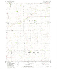 1979 Delmont NE1980 Print · USGSHutchinson County during the late 1970s reveals a quiet landscape of prairie townships and conserved wetlands. Genealogists and historians can trace family roots near Miller Cem or explore the drainage of Twelvemile Creek and the Starr National Waterfowl Production Area.
 - 1979 Map of Hillside, 1980 Print
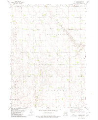 1979 Hillside1980 Print · USGSDouglas and Davison Counties are shown here during the late 1970s, a period when rural schoolhouses and country churches still anchored the South Dakota prairie. Genealogists and local historians can trace family ties at Friedhof Cem, Roberts Chapel Cem, or near the settlement of Hillside.
 - 1979 Map of Letcher SW, 1980 Print
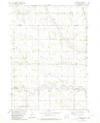 1979 Letcher SW1980 Print · USGSThe South Dakota plains near the Sanborn and Davison county line appear here in the late seventies as a landscape of structured townships and prairie waterways. Researchers can locate artesian Flowing Wells, the path of the Chicago Milwaukee St Paul and Pacific railroad, and the winding course of Firesteel Creek.
 - 1979 Map of Storla, 1980 Print
 1979 Storla1980 Print · USGSThe crossroads of Aurora, Sanborn, and Davison counties are documented here in the late seventies. Family historians can trace the rural community of Storla and its surrounding landmarks like Trinity Ch, Blendon Sch, and Knutson Cem.
 - 1980 Map of Corsica Lake
 1980 Corsica Lake1980 Print · USGSThe rural landscapes of Douglas County are captured here in the late twentieth century, centered on the waters of Corsica Lake. Local historians can trace early community sites like St John Ch, the Old Ebenezer Cem, and the village of Valley.
 - 1980 Map of Old Stickney Lake
 1980 Old Stickney Lake1980 Print · USGSThe South Dakota prairie stretches across the Davison and Aurora county line in the late 1970s. Local history researchers can trace rural community centers like the Townhall and Baker Sch, or locate family sites at Nicolaisen Cem and Metzgerville.
 - 1980 Map of Mitchell SW
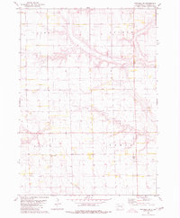 1980 Mitchell SW1980 Print · USGSSouth Dakota's agricultural heartland is documented in the late 1970s, showing the rural grid of Davison County. Genealogists and local historians can locate specific burial grounds like Church of God Cem and Townhall Emsley Cem among the sections.
 - 1980 Map of Shoemaker Dam
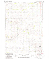 1980 Shoemaker Dam1980 Print · USGSDavison County townships were defined by their prairie watercourses and rail connections in the late twentieth century. Genealogists and researchers can locate the New Home Cemetery and follow the path of the C M St P & P railroad past Shoemaker Dam.
 - 1980 Map of Mount Vernon
 1980 Mount Vernon1980 Print · USGSThe agricultural plains of Davison and Aurora counties are captured here in the early 1980s. Genealogists and historians can trace the intersection of the Chicago Milwaukee St Paul and Pacific rail line and local sites like Quaker Cem and Mount Vernon.
 - 1980 Map of Parkston
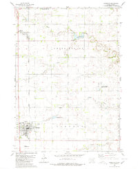 1980 Parkston1980 Print · USGSHutchinson County agriculture and transport thrived in the 1970s as the rail line connected the grain-growing heartland. Researchers can locate family roots at SS Peter & Paul Cem, trace the waters of Lake Dimock, or follow the Chicago Milwaukee St Paul and Pacific tracks.
 - 1980 Map of Betts
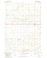 1980 Betts1980 Print · USGSThe Davison County prairie in the late seventies is defined by its rural townships and rail corridors. Trace the path of the Chicago Milwaukee St Paul and Pacific railroad past Betts and the Mt Vernon Cem.
 - 1985 Map of Salem
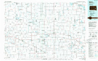 1985 Salem1985 Print · USGSEastern South Dakota’s prairie landscape is showcased in the mid-eighties, highlighting a region defined by agricultural colonies and rail-linked towns. Genealogists and historians can trace the foundations of Rosedale Colony, the Buffalo Trading Post, and early hubs like Salem.
 - 1985 Map of Freeman
 1985 Freeman1985 Print · USGSThe James River valley in the mid-1980s reveals a landscape of communal farming colonies and railroad-anchored prairie towns. Researchers can trace the layout of several Hutterite settlements like Maxwell Colony or locate local landmarks like Gagna Station and Turkey Ridge.2 unique versions available
Showing maps 1-25 of 92
Top cities of Davison County
Frequently asked questions
- What are the different types of historical maps available for Davison County?
- What is the oldest map of Davison County?
- Where can I purchase historical maps of Davison County for my home or office?
- Where can I download high-res historical maps of Davison County?
- Are there historical topographic maps available for Davison County?
- Is there historical aerial imagery available for Davison County?
- Where are historical maps of Davison County sourced from?