2020s Maps of Fall River County, South Dakota
Explore 36 historic maps of Fall River County from the 2020s. These maps offer a rare glimpse into what life looked like during the 2020s — showing old roads, neighborhoods, homes, and landmarks that have changed or disappeared over time.
Whether you're researching your family's past, planning a metal detecting trip, or studying how Fall River County's landscape evolved across the 2020s, these high-resolution maps are a powerful tool for exploring the history of this region.
- Focus on a specific era: All maps on this page are from the 2020s, giving you a focused view of this time period.
- See what’s changed: Compare century-old streets, trails, and buildings to today's modern landscape using overlays and satellite layers.
- Research with precision: Use these maps for genealogy, historical research, land use analysis, or educational projects.
- View, download, or print: Maps are fully viewable online in high resolution, and can be downloaded or printed for your own records.
Start exploring Fall River County's history through authentic maps from the 2020s. This is your window into the past.
Fall River County, SD maps
(36)- 2021 Map of Coffee Flats, 2021 Print
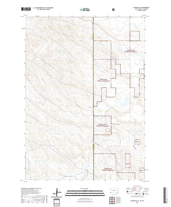 2021 Coffee Flats2021 Print · USGSThe high plains of the South Dakota and Wyoming border come alive in this 2021 survey of the Buffalo Gap National Grassland. Researchers can trace the intricate network of prairie draws and creeks, from Coffee Flats to the winding paths of Little Cottonwood Cr and Eldridge Draw.
 - 2021 Map of Hot Springs SE, 2021 Print
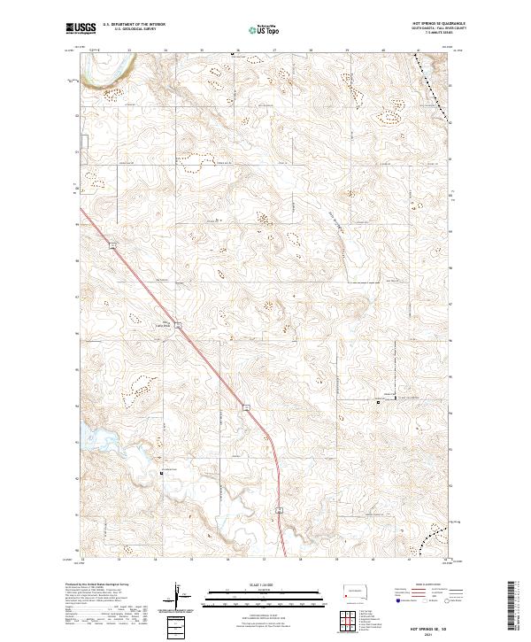 2021 Hot Springs SE2021 Print · USGSFall River County in the early twenty-first century remains a landscape of ranching traditions and quiet rural outposts. Genealogists can locate several remote burial sites including Fairview Cemetery and Smithwick Cemetery tucked among the drainages of Horsehead Creek.
 - 2021 Map of Smithwick, 2021 Print
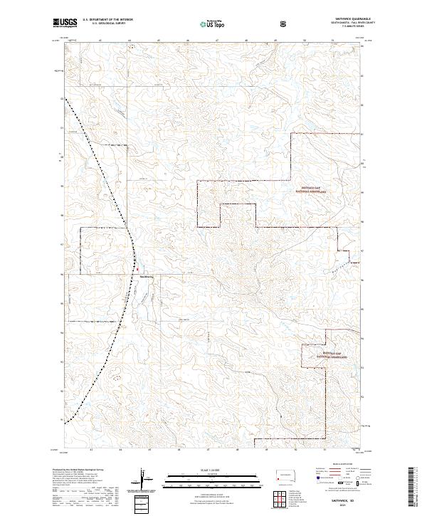 2021 Smithwick2021 Print · USGSFall River County, South Dakota, is captured here in the early 2020s, revealing a landscape defined by the prairie and ranching traditions. Researchers can trace the drainage patterns of Plumb Cr and locate rural landmarks like Smithwick and the Buffalo Gap National Grassland.
 - 2021 Map of Crowe Dam, 2021 Print
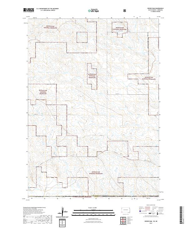 2021 Crowe Dam2021 Print · USGSThe high plains of South Dakota and Nebraska meet in this contemporary survey of public ranching lands. Researchers can trace the drainage of Coal Cr and Indian Cr across the Buffalo Gap National Grassland.
 - 2021 Map of Minnekahta NE, 2021 Print
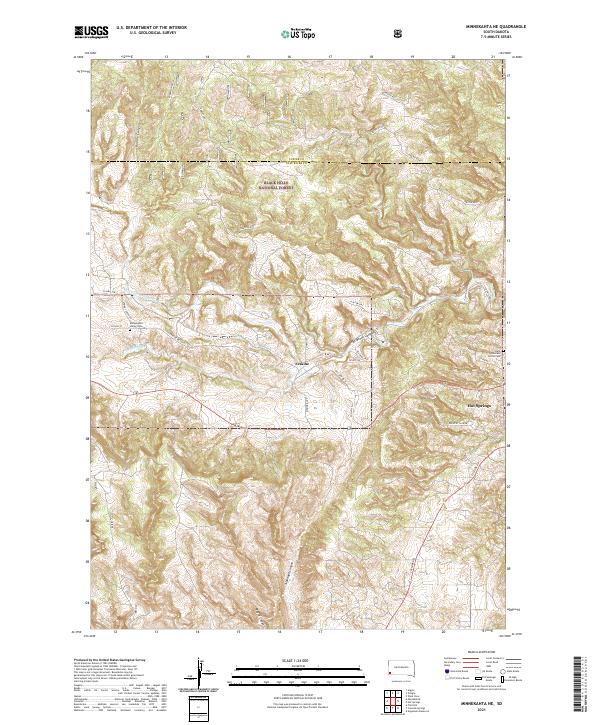 2021 Minnekahta NE2021 Print · USGSThe southern Black Hills near Hot Springs are captured here in the early twenty-first century as the landscape transitions into deep canyon country. Genealogists and local historians can locate the Minnekahta Valley Cem and Erskine along the banks of Hot Brook.
 - 2021 Map of Edgemont SW, 2021 Print
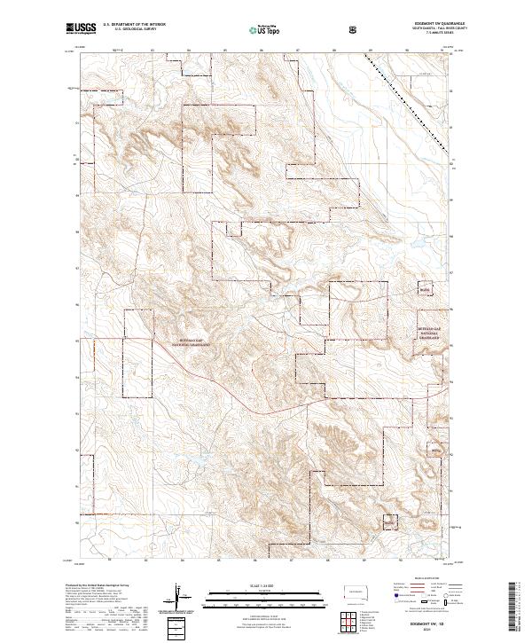 2021 Edgemont SW2021 Print · USGSFall River County, South Dakota, is depicted here in the early twenty-first century as a landscape of wide-open grassland and vital water resources. Researchers can trace the path of the Cheyenne River and identify local landmarks like the Tubbs Canal and Fiddle Cr Reservoir.
 - 2021 Map of Minnekahta, 2021 Print
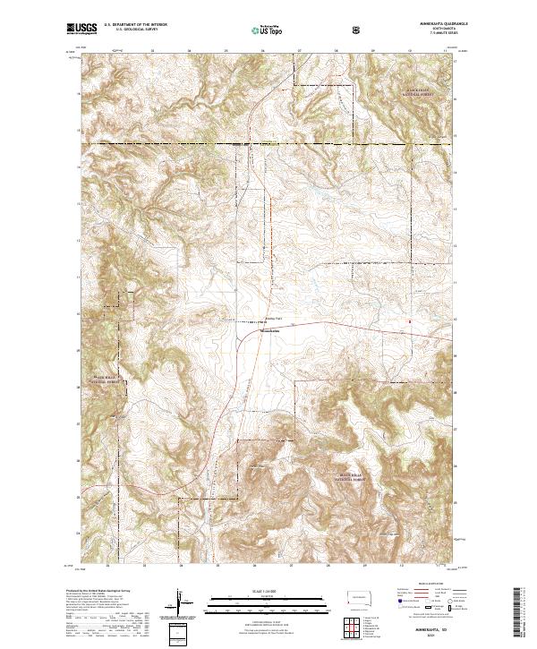 2021 Minnekahta2021 Print · USGSThe Black Hills of South Dakota meet the plains at the settlement of Minnekahta during the early twenty-first century. Genealogists and hikers can trace the George S. Mickelson Trl through canyon country, identifying landmarks like Parker Peak and Chilson Canyon.
 - 2021 Map of Angostura Reservoir, 2021 Print
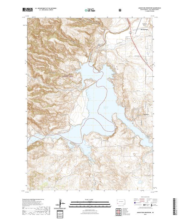 2021 Angostura Reservoir2021 Print · USGSThe foothills of the Black Hills meet the Cheyenne River valley in this modern survey of Fall River County. Trace recreational development around Angostura Reservoir, from the Sheps Canyon Horse Camp Trl to the streets of Hot Springs.
 - 2021 Map of Lone Well Creek East, 2021 Print
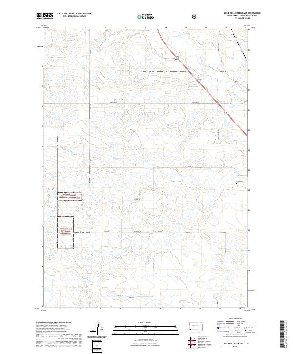 2021 Lone Well Creek East2021 Print · USGSFall River County’s high plains are documented here in the early twenty-first century, showing a landscape shaped by grazing and rural infrastructure. Genealogists and historians can trace the paths of Stagecoach Rd and locate Hillside Cem near Lone Well Cr.
 - 2021 Map of Rumford, 2021 Print
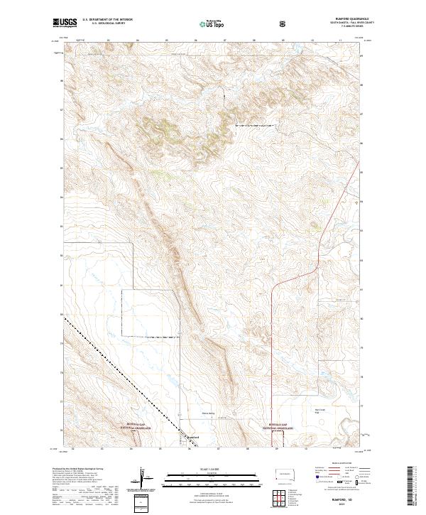 2021 Rumford2021 Print · USGSFall River County, South Dakota, is shown in the modern era as a vast expanse of public prairie and scattered ranch land. Genealogists and researchers can trace the area around Rumford and the drainages of Plum Cr, Horse Cr, and Hat Cr.
 - 2021 Map of Ardmore SE, 2021 Print
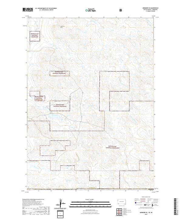 2021 Ardmore SE2021 Print · USGSFall River County at the edge of the South Dakota badlands remains a landscape of open prairie and seasonal draws in this contemporary survey. Researchers can trace the path of CO HWY 5 through the Buffalo Gap National Grassland and follow the drainages of Mule Creek and Hay Cr.
 - 2021 Map of Heinne Creek, 2021 Print
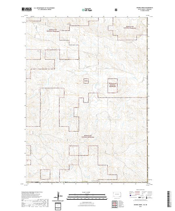 2021 Heinne Creek2021 Print · USGSFall River County in the early 2020s remains a vast expanse of protected prairie within the Buffalo Gap National Grassland. Researchers can trace the winding paths of Heinne Cr and Slim Butte Cr as they flow past landmarks like Lone Butte.
 - 2021 Map of Wallace Ranch, 2021 Print
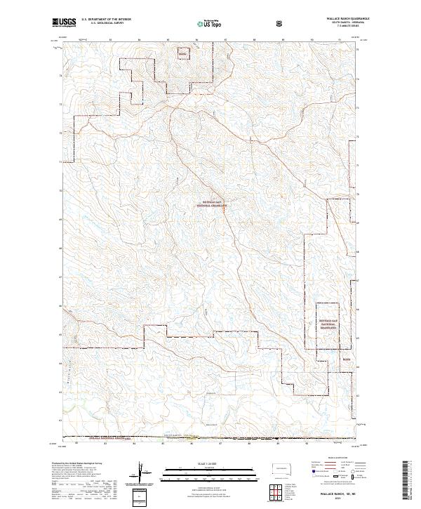 2021 Wallace Ranch2021 Print · USGSThe High Plains of South Dakota and Nebraska are captured here in the early 2020s, showcasing a landscape of vast grasslands and remote ranching outposts. Trace the drainage systems of Indian Cr and Alkali Cr near the historic Wallace Ranch and across state lines.
 - 2021 Map of Provo, 2021 Print
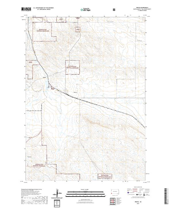 2021 Provo2021 Print · USGSThe high plains of Fall River County come into focus during this 2021 survey, highlighting the legacy of the Black Hills Ordnance Depot. Genealogists and historians can trace the grid of Igloo, the settlement at Provo, and landmarks like Hay Draw and Coal Cr.
 - 2021 Map of Hay Canyon Butte, 2021 Print
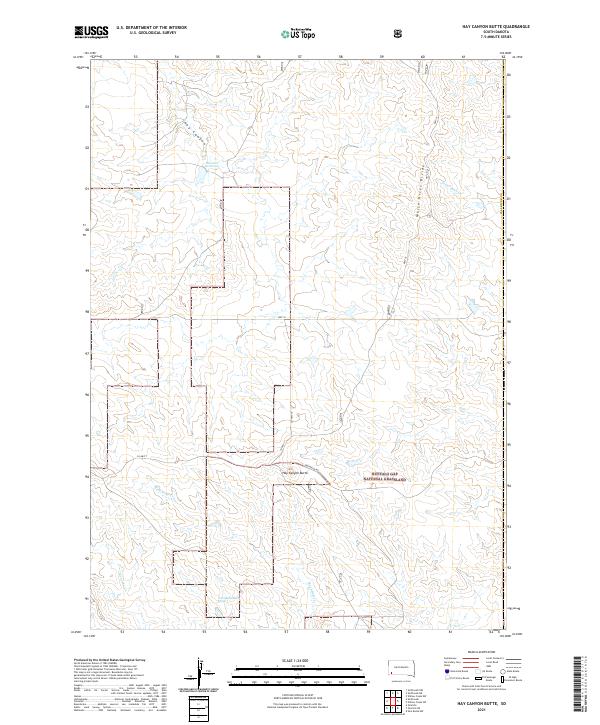 2021 Hay Canyon Butte2021 Print · USGSFall River County in the early 2020s remains a landscape of open prairie and high-plains watercourses. Researchers can trace the drainage of White River Divide or locate landmarks like Hay Canyon Butte and Bockert Reservoir.
 - 2021 Map of Phister Ranch, 2021 Print
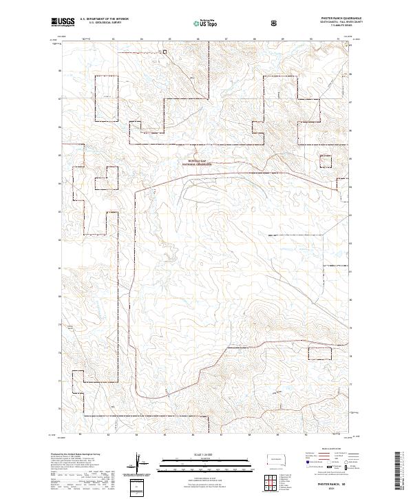 2021 Phister Ranch2021 Print · USGSFall River County, South Dakota, is captured here in the modern era, showing a vast expanse of ranchland and prairie. Researchers can trace land boundaries across Buffalo Gap National Grassland or locate the historic Phister Ranch and Coffee Flats.
 - 2021 Map of Buffalo Gap, 2021 Print
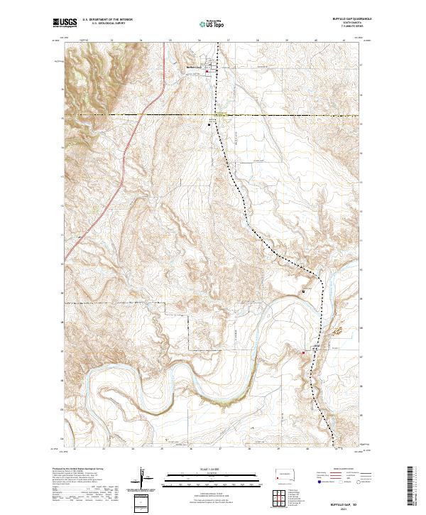 2021 Buffalo Gap2021 Print · USGSBuffalo Gap and the surrounding river breaks are captured in detail in the early 2020s. Genealogists and historians can trace family ties at the Buffalo Gap Cem and Hines Cem or follow the winding course of the Cheyenne River.
 - 2021 Map of Black Banks Creek East, 2021 Print
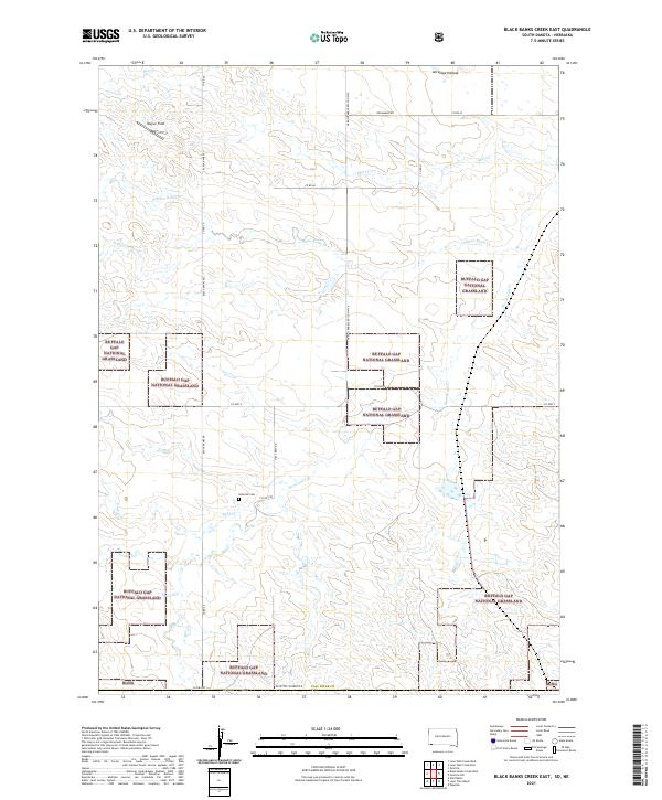 2021 Black Banks Creek East2021 Print · USGSFall River County at the start of the 2020s shows a landscape of wide-open public lands and winding prairie creek beds. Researchers can locate the Hillcrest Cemetery and trace the complex forks of Black Banks Creek and Horsehead Creek.
 - 2021 Map of Black Banks Creek West, 2021 Print
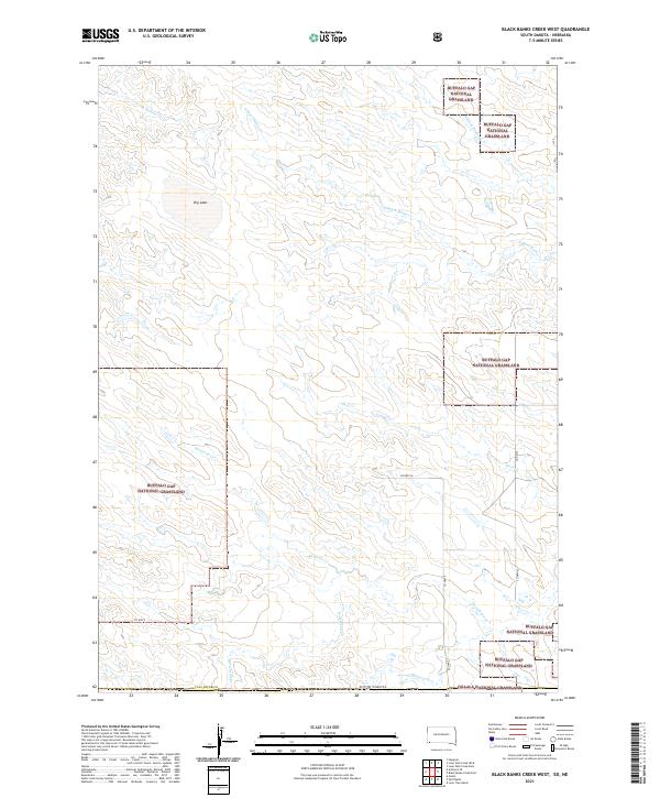 2021 Black Banks Creek West2021 Print · USGSFall River County at the South Dakota-Nebraska border reveals an open landscape of sprawling prairie and seasonal waterways. Trace the courses of Medicine Cr and Horsehead Cr across the Buffalo Gap National Grassland.
 - 2021 Map of Cascade Springs, 2021 Print
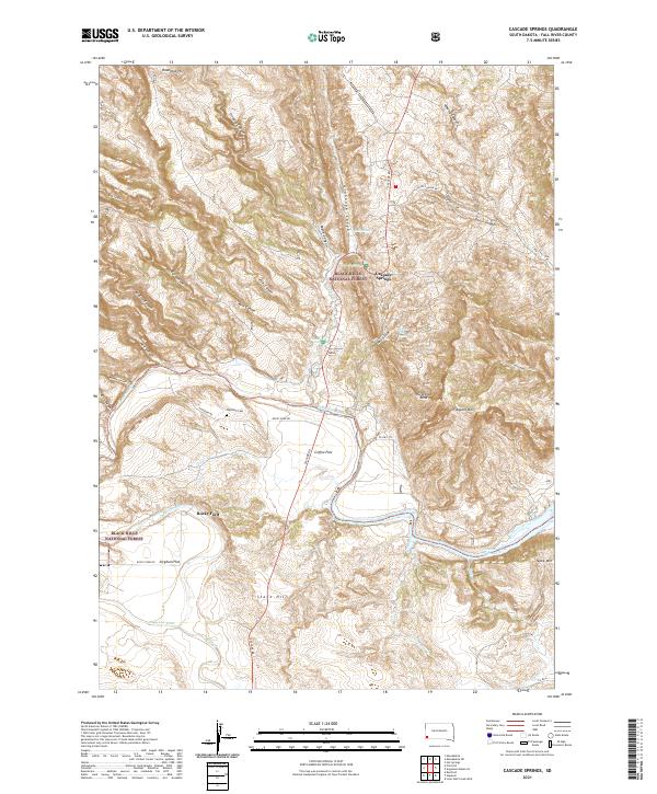 2021 Cascade Springs2021 Print · USGSFall River County is captured here in recent years, showing a landscape of rugged canyons and historic water sources. Genealogists and hikers can trace the geography around Cascade Springs, Highland Cemetery, and the river crossing at Rocky Ford.
 - 2021 Map of Edgemont, 2021 Print
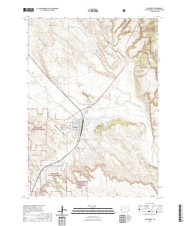 2021 Edgemont2021 Print · USGSFall River County in the early twenty-first century reveals a landscape where the Cheyenne River valley meets the Black Hills. Researchers can trace the layout of Edgemont, locate the Edgemont Cem, and follow the George S Mickelson Trl through Red Canyon.
 - 2021 Map of Burdock, 2021 Print
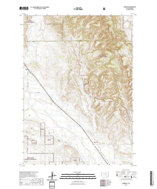 2021 Burdock2021 Print · USGSThe Black Hills and Buffalo Gap Grasslands meet in this recent South Dakota survey, showcasing the high-desert terrain near the Custer and Fall River county line. Researchers can locate the small settlements of Burdock and Marietta or trace water rights through Griffis Canal and Tubbs Canal.
 - 2021 Map of Ardmore, 2021 Print
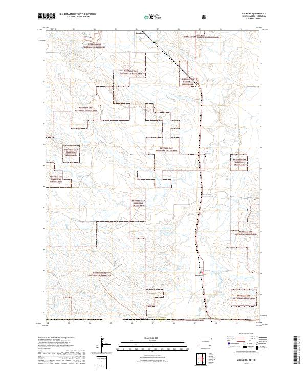 2021 Ardmore2021 Print · USGSThe South Dakota and Nebraska borderlands meet in this modern survey of the high plains. Researchers can trace rural genealogy and land use near Ardmore and Rumford, or locate local landmarks like the Duck Creek Cemetery and Hunter Hill.
 - 2021 Map of Edgemont NE, 2021 Print
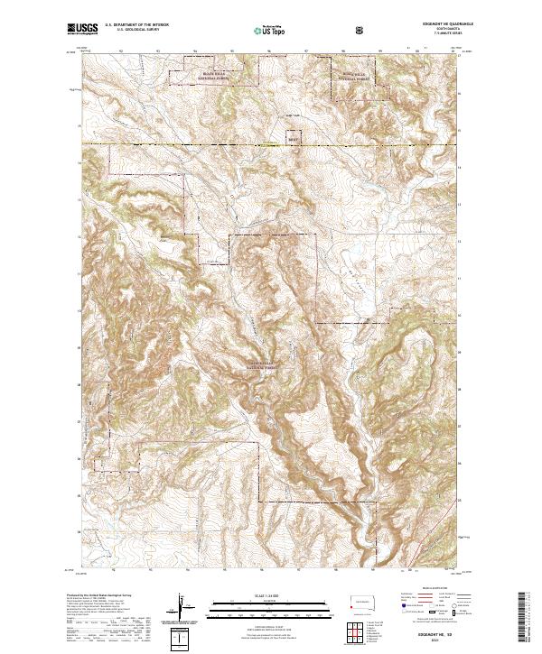 2021 Edgemont NE2021 Print · USGSFall River and Custer counties appear here in the early twenty-first century, showing the intersection of managed timberland and rugged drainage basins. Researchers can trace historic access routes and natural landmarks like Robinson Flats, Red Canyon, and the Coal Ridge Trl.
 - 2021 Map of Heppner, 2021 Print
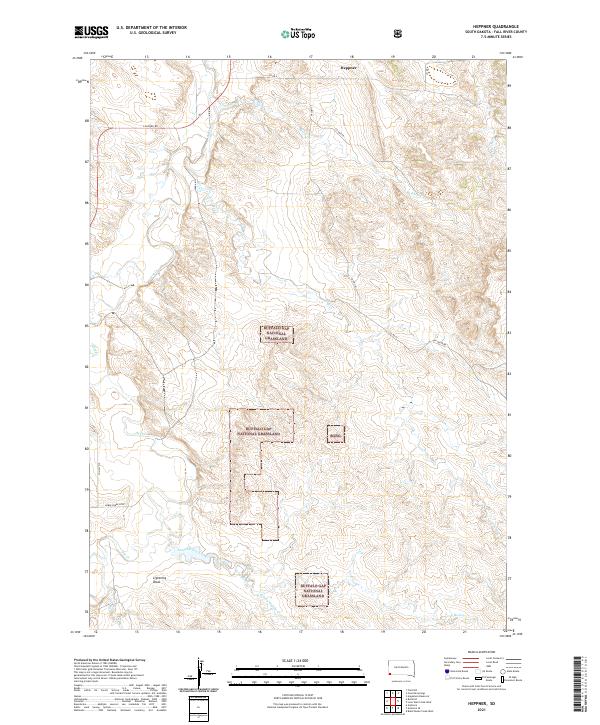 2021 Heppner2021 Print · USGSThis part of Fall River County during the 2020s remains a vast expanse of public range and remote ranch lands. You can trace the drainage of Hat Cr through the Buffalo Gap National Grassland or locate the site of Heppner.
Showing maps 1-25 of 36
Top cities of Fall River County
Frequently asked questions
- What are the different types of historical maps available for Fall River County?
- What is the oldest map of Fall River County?
- Where can I purchase historical maps of Fall River County for my home or office?
- Where can I download high-res historical maps of Fall River County?
- Are there historical topographic maps available for Fall River County?
- Is there historical aerial imagery available for Fall River County?
- Where are historical maps of Fall River County sourced from?