2000s (21st Century) Maps of Fall River County, South Dakota
Explore 135 historic maps of Fall River County from the 2000s (21st Century). These maps offer a rare glimpse into what life looked like during the 2000s — showing old roads, neighborhoods, homes, and landmarks that have changed or disappeared over time.
Whether you're researching your family's past, planning a metal detecting trip, or studying how Fall River County's landscape evolved across the 2000s, these high-resolution maps are a powerful tool for exploring the history of this region.
- Focus on a specific era: All maps on this page are from the 2000s, giving you a focused view of this time period.
- See what’s changed: Compare century-old streets, trails, and buildings to today's modern landscape using overlays and satellite layers.
- Research with precision: Use these maps for genealogy, historical research, land use analysis, or educational projects.
- View, download, or print: Maps are fully viewable online in high resolution, and can be downloaded or printed for your own records.
Start exploring Fall River County's history through authentic maps from the 2000s. This is your window into the past.
Fall River County, SD maps
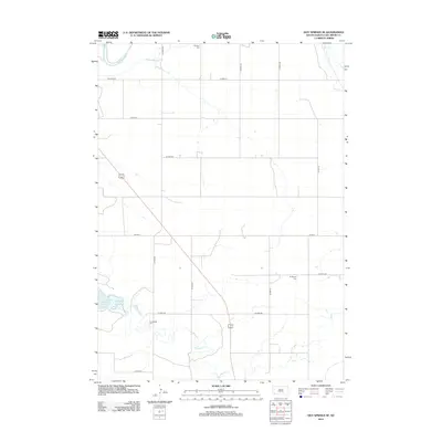
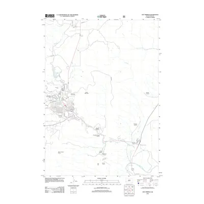
(135)- 2012 Map of Smithwick, 2012 Print
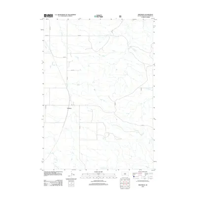 2012 Smithwick2012 Print · USGSCovers Fall River County, including Smithwick, United States, and other nearby areas
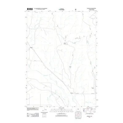
 - 2012 Map of Rumford, 2012 Print
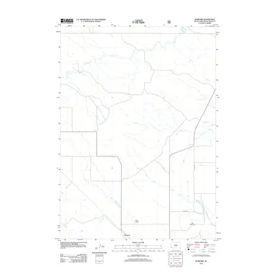 2012 Rumford2012 Print · USGSCovers Fall River County, including Rumford, United States, and other nearby areas
 - 2012 Map of Lone Well Creek East, 2012 Print
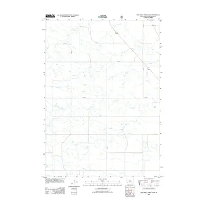 2012 Lone Well Creek East2012 Print · USGSCovers Fall River County, including United States, South Dakota, and other nearby areas
 - 2012 Map of Phister Ranch, 2012 Print
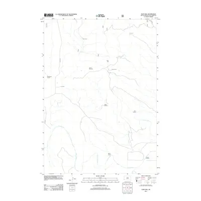
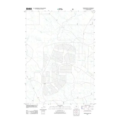 2012 Phister Ranch2012 Print · USGSCovers Fall River County, including Provo Township, United States, and other nearby areas
 - 2012 Map of Flint Hill, 2012 Print
 2012 Flint Hill2012 Print · USGSCovers Fall River County, including United States, South Dakota, and other nearby areas
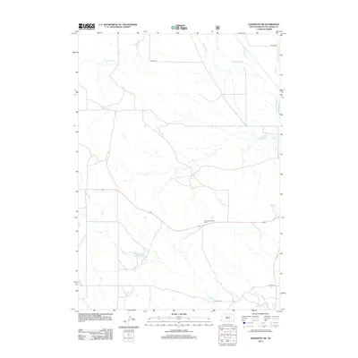
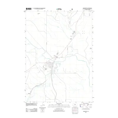
 - 2012 Map of Heppner, 2012 Print
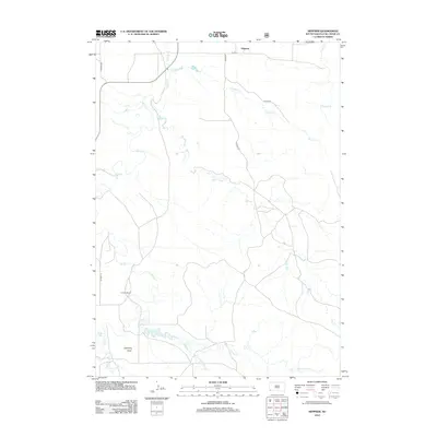 2012 Heppner2012 Print · USGSCovers Fall River County, including Heppner, United States, and other nearby areas
 - 2012 Map of Smithwick NW, 2012 Print
 2012 Smithwick NW2012 Print · USGSCovers Fall River County, including Custer County, United States, and other nearby areas
 - 2012 Map of Oelrichs NE, 2012 Print
 2012 Oelrichs NE2012 Print · USGSCovers Fall River County, including Pine Ridge, Oglala, and other nearby areas
 - 2012 Map of Angostura Reservoir, 2012 Print
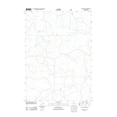
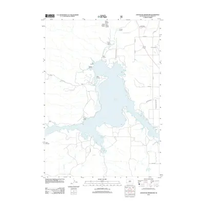 2012 Angostura Reservoir2012 Print · USGSCovers Fall River County, including United States, South Dakota, and other nearby areas
 - 2012 Map of Edgemont SW, 2012 Print
 2012 Edgemont SW2012 Print · USGSCovers Fall River County, including United States, South Dakota, and other nearby areas
 - 2012 Map of Minnekahta, 2012 Print
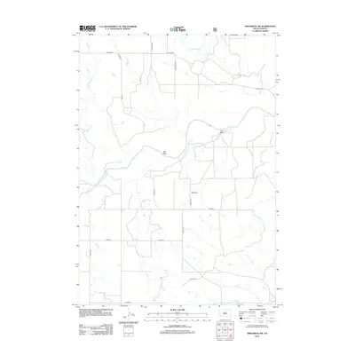
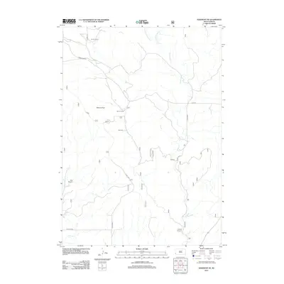
 2012 Minnekahta2012 Print · USGSCovers Fall River County, including Minnekahta, Custer County, and other nearby areas
 - 2012 Map of Oelrichs, 2012 Print
 2012 Oelrichs2012 Print · USGSCovers Fall River County, including Oelrichs, United States, and other nearby areas
 - 2012 Map of Smithwick NE, 2012 Print
 2012 Smithwick NE2012 Print · USGSCovers Fall River County, including Oglala, Oglala Lakota County, and other nearby areas
 - 2012 Map of Buffalo Gap, 2012 Print
 2012 Buffalo Gap2012 Print · USGSCovers Fall River County, including Buffalo Gap, Oral, and other nearby areas
 - 2012 Map of Hay Canyon Butte, 2012 Print
 2012 Hay Canyon Butte2012 Print · USGSCovers Fall River County, including Oglala, Oglala Lakota County, and other nearby areas
 - 2012 Map of Lone Well Creek West, 2012 Print
 2012 Lone Well Creek West2012 Print · USGSCovers Fall River County, including United States, South Dakota, and other nearby areas
 - 2012 Map of Hot Springs SE, 2012 Print
 2012 Hot Springs SE2012 Print · USGSCovers Fall River County, including United States, South Dakota, and other nearby areas
 - 2012 Map of Edgemont, 2012 Print
 2012 Edgemont2012 Print · USGSCovers Fall River County, including Edgemont, Dudley, and other nearby areas
 - 2012 Map of Minnekahta NE, 2012 Print
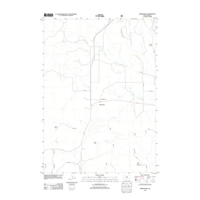
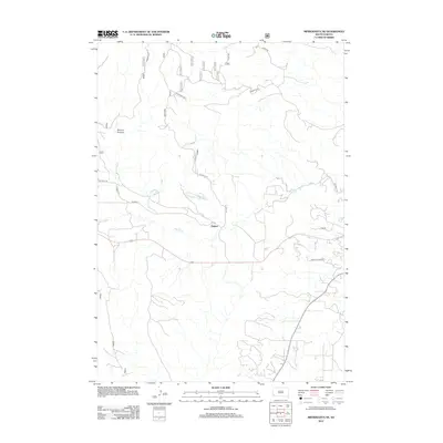 2012 Minnekahta NE2012 Print · USGSCovers Fall River County, including Hot Springs, Erskine, and other nearby areas
 - 2012 Map of Edgemont NE, 2012 Print
 2012 Edgemont NE2012 Print · USGSCovers Fall River County, including Custer County, United States, and other nearby areas
 - 2012 Map of Hot Springs, 2012 Print
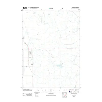
 2012 Hot Springs2012 Print · USGSCovers Fall River County, including Hot Springs, Custer County, and other nearby areas
 - 2012 Map of Burdock, 2012 Print
 2012 Burdock2012 Print · USGSCovers Fall River County, including Argentine Township, Marietta, and other nearby areas
 - 2012 Map of Black Banks Creek East, 2012 Print
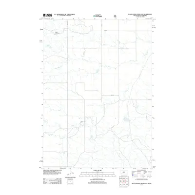 2012 Black Banks Creek East2012 Print · USGSCovers Fall River County, including Dawes County, United States, and other nearby areas
 - 2012 Map of Crowe Dam, 2012 Print
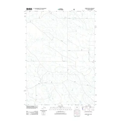 2012 Crowe Dam2012 Print · USGSCovers Fall River County, including Bowen Precinct, Sioux County, and other nearby areas
 - 2012 Map of Cascade Springs, 2012 Print
 2012 Cascade Springs2012 Print · USGSCovers Fall River County, including Rocky Ford, Cascade Springs, and other nearby areas
Showing maps 1-25 of 135
Top cities of Fall River County
Frequently asked questions
- What are the different types of historical maps available for Fall River County?
- What is the oldest map of Fall River County?
- Where can I purchase historical maps of Fall River County for my home or office?
- Where can I download high-res historical maps of Fall River County?
- Are there historical topographic maps available for Fall River County?
- Is there historical aerial imagery available for Fall River County?
- Where are historical maps of Fall River County sourced from?