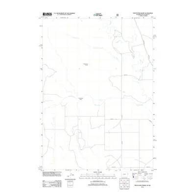
2012 Map of Twentyone Divide
USGS Topo · Published 2012About this map
The Cheyenne River flows across this prairie landscape along the Wyoming and South Dakota border, a region defined by its wide drainage basins and sparse road network. The terrain is dominated by the Twentyone Divide, a prominent natural ridge that separates the local watersheds. To its south, the Twentyone Draw leads toward the river, illustrating the seasonal water movement that has shaped this ranching country.
Find a feature on this map
12 named features on this map. Tap any name to fly to it.
Don’t see what you’re looking for? This feature index may not catch every label — zoom into the map to look around manually.
Map Details
Editions of this 2012 Twentyone Divide Map
This is the sole edition of this map. No revisions or reprints were ever made.
Other maps of this area

1896 · Harney Peak
USGS Topo · 1:125,000

1899 · Newcastle
USGS Topo · 1:125,000

1901 · Harney Peak
USGS Topo · 1:125,000

1901 · Newcastle
USGS Topo · 1:125,000

1902 · Edgemont
USGS Topo · 1:125,000

1950 · Edgemont SW
USGS Topo · 1:24,000

1950 · Burdock
USGS Topo · 1:24,000

1951 · Dewey
USGS Topo · 1:24,000

1951 · Dewey SW
USGS Topo · 1:24,000

1951 · Twentyone Divide
USGS Topo · 1:24,000