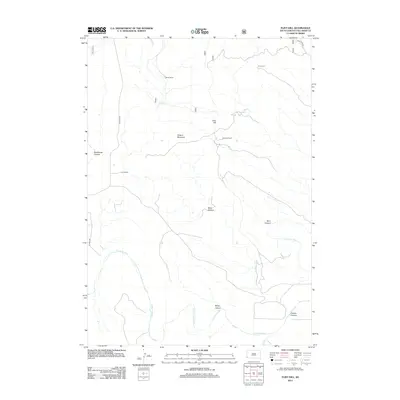
2012 Map of Flint Hill
USGS Topo · Published 2012About this map
The Cheyenne River winds through this southwestern South Dakota landscape, defining the topography south of Chilson Mountain and Flint Hill. This 2012 survey illustrates a region shaped by high-desert ranching and complex drainage patterns, where human presence is marked primarily by isolated outposts. Notable family-named sites like Marty Ranch, Gull Ranch, and Conboys Ranch are connected by rugged local routes like Co HWY-6463. The terrain is characterized by a series of steep drainages, including Deadhorse Canyon, Devil Canyon, and Brady Canyon, which provide a detailed look at the erosional features typical of the Fall River County area. To the north, Line Camp suggests the ongoing importance of range management in this part of the state.
Find a feature on this map
15 named features on this map. Tap any name to fly to it.
Don’t see what you’re looking for? This feature index may not catch every label — zoom into the map to look around manually.
Map Details
Editions of this 2012 Flint Hill Map
This is the sole edition of this map. No revisions or reprints were ever made.
Other maps of this area

1902 · Edgemont
USGS Topo · 1:125,000

1950 · Edgemont
USGS Topo · 1:24,000

1950 · Heppner
USGS Topo · 1:24,000

1950 · Cascade Springs
USGS Topo · 1:24,000

1950 · Rumford
USGS Topo · 1:24,000

1950 · Edgemont NE
USGS Topo · 1:24,000

1950 · Minnekahta
USGS Topo · 1:24,000

1950 · Flint Hill
USGS Topo · 1:24,000

1951 · Minnekahta NE
USGS Topo · 1:24,000

1955 · Hot Springs
USGS Topo · 1:250,000