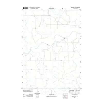
2012 Map of Smithwick NW
USGS Topo · Published 2012About this map
Cheyenne River winds across the landscape in this Custer County survey, defining the central drainage patterns of the region. The map reveals a network of intermittent watercourses and draws typical of the South Dakota plains, including Iron Draw, WG Draw, and the southern reaches of Lame Johnny Cr. The terrain is characterized by broad expanses like W G Flat, intersected by a complex grid of rural county roads. A dense collection of local thoroughfares such as Co HWY-2, S Fairburn Rd, and Co Line Cutoff illustrates the modern land division and access points across the prairie. This 2012 edition, produced using NAIP imagery and GNIS data, provides a clear view of the hydrological features including Plumb Cr and the various county highway designations that serve this rural section of the state.
Find a feature on this map
20 named features on this map. Tap any name to fly to it.
Don’t see what you’re looking for? This feature index may not catch every label — zoom into the map to look around manually.
Map Details
Editions of this 2012 Smithwick NW Map
This is the sole edition of this map. No revisions or reprints were ever made.
Other maps of this area

1894 · Hermosa
USGS Topo · 1:125,000

1896 · Oelrichs
USGS Topo · 1:125,000

1900 · Oelrichs
USGS Topo · 1:125,000

1901 · Hermosa
USGS Topo · 1:125,000

1950 · Buffalo Gap
USGS Topo · 1:24,000

1950 · Hot Springs SE
USGS Topo · 1:24,000

1951 · Fairburn SE
USGS Topo · 1:24,000

1951 · Smithwick NE
USGS Topo · 1:24,000

1951 · Smithwick NW
USGS Topo · 1:24,000

1955 · Hot Springs
USGS Topo · 1:250,000