1960s Maps of Milk's Camp Segment, South Dakota
Explore 7 historic maps of Milk's Camp Segment from the 1960s. These maps offer a rare glimpse into what life looked like during the 1960s — showing old roads, neighborhoods, homes, and landmarks that have changed or disappeared over time.
Whether you're researching your family's past, planning a metal detecting trip, or studying how Milk's Camp Segment's landscape evolved across the 1960s, these high-resolution maps are a powerful tool for exploring the history of this region.
- Focus on a specific era: All maps on this page are from the 1960s, giving you a focused view of this time period.
- See what’s changed: Compare century-old streets, trails, and buildings to today's modern landscape using overlays and satellite layers.
- Research with precision: Use these maps for genealogy, historical research, land use analysis, or educational projects.
- View, download, or print: Maps are fully viewable online in high resolution, and can be downloaded or printed for your own records.
Start exploring Milk's Camp Segment's history through authentic maps from the 1960s. This is your window into the past.
Milk's Camp Segment, SD maps
(7)- 1964 Map of Gregory SE, 1965 Print
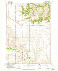
 1964 Gregory SE1965 Print · USGSSouth Dakota's rural school districts and winding creek bottoms are captured here in the mid-1960s. Genealogists can locate family landmarks like McCumber Sch, Klug Sch, and Star Lake across the sectioned prairie.
 - 1964 Map of Herrick NW, 1965 Print
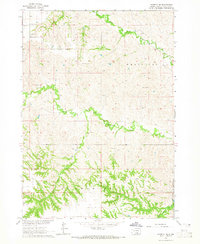
 1964 Herrick NW1965 Print · USGSThe rural landscape of Gregory County comes alive in the mid-1960s, showing the intersection of the Chicago and North Western rail line and the Butte Valley ranch lands. Researchers can locate the Butte Valley Sch and trace the winding courses of Peters Creek and Coon Creek.
 - 1964 Map of Herrick NE, 1965 Print
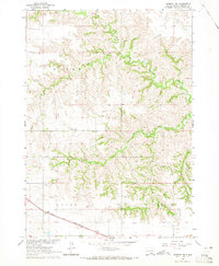
 1964 Herrick NE1965 Print · USGSSouthern Gregory County in the early sixties remains a landscape of isolated ranching and rural education. Genealogists and historians can locate the Hornbeck Sch and trace the many artesian Flowing Well sites along Petes Cr.
 - 1964 Map of St. Charles, 1965 Print
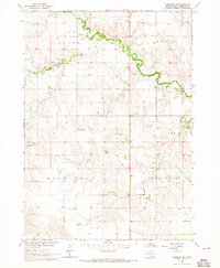
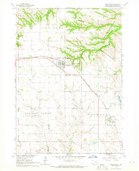
 1964 St. Charles1965 Print · USGSGregory County in the mid-1960s shows a landscape defined by the Chicago and North Western railroad and the winding Ponca Creek. Genealogists and researchers can trace local boundaries through ST CHARLES, ELLSTON, and PLEASANT VALLEY townships.
 - 1964 Map of Herrick, 1965 Print
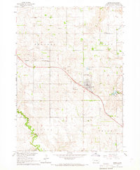
 1964 Herrick1965 Print · USGSThe town of Herrick and the surrounding Gregory County prairies are captured here in the mid-1960s. Genealogists can locate family landmarks like Miller Sch, Ponca Creek Cem, and the community at Milks Camp.
 - 1964 Map of Bonesteel, 1965 Print
 1964 Bonesteel1965 Print · USGSGregory County comes to life in the mid-sixties as the Chicago and North Western railroad links the grain-country towns. Genealogists and historians can locate family plots at Rosebud Cem or trace the Rosebud Indian Reservation Boundary.
 - 1964 Map of Burke, 1967 Print
 1964 Burke1967 Print · USGSGregory County enters the mid-1960s with a landscape tied to the rails and the prairie soil. Genealogists and local historians can trace the foundations of the community through rural landmarks like Rembrandt Sch, Sacred Heart Cem, and the Chicago and North Western rail line.
End of results
Showing maps 1-7 of 7
Top cities near Milk's Camp Segment
Frequently asked questions
- What are the different types of historical maps available for Milk's Camp Segment?
- What is the oldest map of Milk's Camp Segment?
- Where can I purchase historical maps of Milk's Camp Segment for my home or office?
- Where can I download high-res historical maps of Milk's Camp Segment?
- Are there historical topographic maps available for Milk's Camp Segment?
- Is there historical aerial imagery available for Milk's Camp Segment?
- Where are historical maps of Milk's Camp Segment sourced from?