Old Maps of Milk's Camp Segment, South Dakota for Academic Research
Study the evolution of Milk's Camp Segment with 70 high-resolution historic maps. Whether you're teaching, researching, or modeling changes in land use, these maps provide essential visual documentation of urban, environmental, and geographic change.
- Analyze long-term change: Track patterns in development, transportation, and natural features.
- Ideal for environmental or urban studies: Support academic projects with primary historical map data.
- Use in the classroom or lab: Educators and researchers rely on these maps to bring historical context to life.
These maps are a powerful tool for teaching, research, and visualizing how Milk's Camp Segment has changed over the decades.
Milk's Camp Segment, SD maps
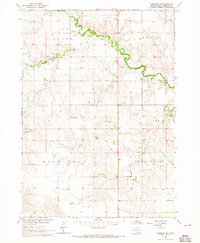
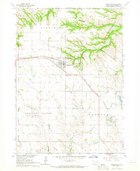
(70)- 1955 Map of Mitchell, 1973 Print
 1955 Mitchell1973 Print · USGSThe Missouri River valley undergoes a massive transformation in the mid-1950s as the Fort Randall Dam creates Lake Francis Case. You can trace the rail lines of the Chicago Milwaukee St Paul and Pacific through Mitchell or locate local landmarks like Butler Town Hall.2 unique versions available
 - 1959 Map of Mitchell
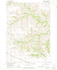
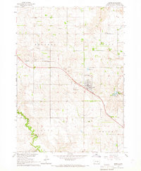
 1959 Mitchell1959 Print · USGSSouth Dakota’s river and rail corridors come alive in the late fifties as the Missouri River valley undergoes dramatic change. Genealogists and historians can trace family roots through numerous small towns and schools such as Academy, Stickney, and Gregory.2 unique versions available
 - 1964 Map of Gregory SE, 1965 Print
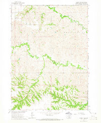
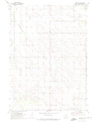
 1964 Gregory SE1965 Print · USGSSouth Dakota's rural school districts and winding creek bottoms are captured here in the mid-1960s. Genealogists can locate family landmarks like McCumber Sch, Klug Sch, and Star Lake across the sectioned prairie.
 - 1964 Map of Herrick NW, 1965 Print
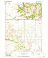
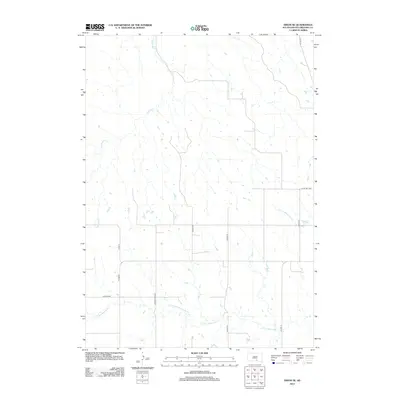
 1964 Herrick NW1965 Print · USGSThe rural landscape of Gregory County comes alive in the mid-1960s, showing the intersection of the Chicago and North Western rail line and the Butte Valley ranch lands. Researchers can locate the Butte Valley Sch and trace the winding courses of Peters Creek and Coon Creek.
 - 1964 Map of Herrick NE, 1965 Print
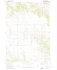
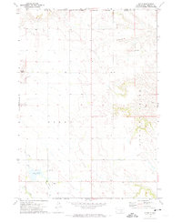
 1964 Herrick NE1965 Print · USGSSouthern Gregory County in the early sixties remains a landscape of isolated ranching and rural education. Genealogists and historians can locate the Hornbeck Sch and trace the many artesian Flowing Well sites along Petes Cr.
 - 1964 Map of St. Charles, 1965 Print
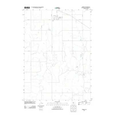
 1964 St. Charles1965 Print · USGSGregory County in the mid-1960s shows a landscape defined by the Chicago and North Western railroad and the winding Ponca Creek. Genealogists and researchers can trace local boundaries through ST CHARLES, ELLSTON, and PLEASANT VALLEY townships.
 - 1964 Map of Herrick, 1965 Print
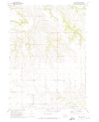
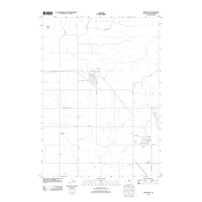
 1964 Herrick1965 Print · USGSThe town of Herrick and the surrounding Gregory County prairies are captured here in the mid-1960s. Genealogists can locate family landmarks like Miller Sch, Ponca Creek Cem, and the community at Milks Camp.
 - 1964 Map of Bonesteel, 1965 Print
 1964 Bonesteel1965 Print · USGSGregory County comes to life in the mid-sixties as the Chicago and North Western railroad links the grain-country towns. Genealogists and historians can locate family plots at Rosebud Cem or trace the Rosebud Indian Reservation Boundary.
 - 1964 Map of Burke, 1967 Print
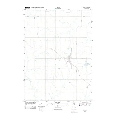
 1964 Burke1967 Print · USGSGregory County enters the mid-1960s with a landscape tied to the rails and the prairie soil. Genealogists and local historians can trace the foundations of the community through rural landmarks like Rembrandt Sch, Sacred Heart Cem, and the Chicago and North Western rail line.
 - 1971 Map of Dixon SW, 1974 Print
 1971 Dixon SW1974 Print · USGSGregory County's agricultural heartland is documented here in the early seventies, showing the established section lines and rural townships. Researchers can trace the meandering paths of Bull Creek and Lone Tree Creek through Dixon and Edens.
 - 1971 Map of Lucas, 1974 Print
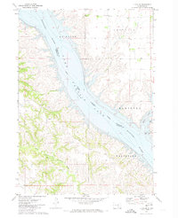
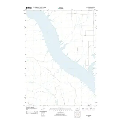
 1971 Lucas1974 Print · USGSGregory County was undergoing significant hydrological change in the early 1970s as the Missouri River valley transitioned into a managed reservoir system. Researchers can trace the layout of Lucas, find local burials at Lucas Cem, and see the original drainage of North Fork Whetstone Creek.2 unique versions available
 - 1971 Map of Dixon, 1974 Print
 1971 Dixon1974 Print · USGSGregory County's prairie landscape is shown in the early seventies, centered on the rural community of Dixon. Genealogists and local historians can locate the Dixon Cem, the site of the Hawk Sch, and landmarks like Buffalo Buttes.
 - 1971 Map of Dixon SE, 1974 Print
 1971 Dixon SE1974 Print · USGSGregory County during the early 1970s reveals a landscape of tribal lands and winding prairie drainages. Researchers can trace the rugged breaks along Landing Creek or locate local landmarks like the Gravel Pit near South Fork Whetstone Creek.
 - 1971 Map of Dixon NE, 1974 Print
 1971 Dixon NE1974 Print · USGSThe Missouri River breaks of Gregory and Lyman counties are captured here in the early seventies, detailing the newly formed Lake Francis Case. Researchers can trace the Rosebud Indian Reservation Boundary and locate landmarks like Berry Spring and Landing Creek.
 - 1971 Map of Lucas SE, 1974 Print
 1971 Lucas SE1974 Print · USGSThe Missouri River breaks into the reservoir of Lake Francis Case during the early seventies, defining the border of the Rosebud Indian Reservation. Local history researchers can locate Trinity Ch, a hilltop Cem, and drainage points like Whetstone Creek.
 - 1986 Map of Winner
 1986 Winner1986 Print · USGSTripp and Gregory Counties are captured in the mid-eighties as the agricultural heartland centered on the Chicago and North Western line. Genealogists can trace family footprints near St Charles, Paxton, and Winner, or explore the shoreline of Lake Francis Case.2 unique versions available
 - 1986 Map of Lake Andes
 1986 Lake Andes1986 Print · USGSThe Yankton Indian Reservation and the vast Missouri River impoundments define this South Dakota landscape in the mid-eighties. Researchers can trace old township lines and the Old Railroad Grade, or locate sites like Fort Randall and the Pleasant Ridge Cem.3 unique versions available
 - 1990 Map of Mitchell, 1991 Print
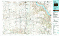
 1990 Mitchell1991 Print · USGSThe Missouri River and the surrounding South Dakota plains are captured here in the early nineties, showing a landscape shaped by water and wire. Genealogists and historians can trace the gridded townships from Mitchell to the Bijou Hills, locating sites like the Platte Colony and Academy.
 - 2012 Map of Bonesteel, 2012 Print
 2012 Bonesteel2012 Print · USGSCovers Milk's Camp Segment, including Bonesteel, Fairfax, and other nearby areas
 - 2012 Map of Burke, 2012 Print
 2012 Burke2012 Print · USGSCovers Milk's Camp Segment, including Burke, Gregory County, and other nearby areas
 - 2012 Map of Herrick, 2012 Print
 2012 Herrick2012 Print · USGSCovers Milk's Camp Segment, including Herrick, Gregory County, and other nearby areas
 - 2012 Map of Dixon SE, 2012 Print
 2012 Dixon SE2012 Print · USGSCovers Milk's Camp Segment, including Gregory County, United States, and other nearby areas
 - 2012 Map of Lucas SE, 2012 Print
 2012 Lucas SE2012 Print · USGSCovers Milk's Camp Segment, including Hamilton Township, La Roche Township, and other nearby areas
 - 2012 Map of Dixon, 2012 Print
 2012 Dixon2012 Print · USGSCovers Milk's Camp Segment, including Dixon, Bull Creek Segment, and other nearby areas
 - 2012 Map of Herrick NW, 2012 Print
 2012 Herrick NW2012 Print · USGSCovers Milk's Camp Segment, including Gregory County, United States, and other nearby areas
Showing maps 1-25 of 70
Top cities near Milk's Camp Segment
Frequently asked questions
- What are the different types of historical maps available for Milk's Camp Segment?
- What is the oldest map of Milk's Camp Segment?
- Where can I purchase historical maps of Milk's Camp Segment for my home or office?
- Where can I download high-res historical maps of Milk's Camp Segment?
- Are there historical topographic maps available for Milk's Camp Segment?
- Is there historical aerial imagery available for Milk's Camp Segment?
- Where are historical maps of Milk's Camp Segment sourced from?