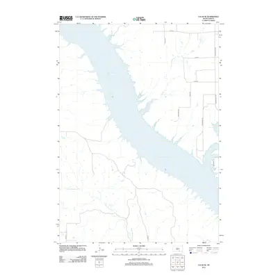
2012 Map of Lucas SE
USGS Topo · Published 2012About this map
Lake Francis Case dominates this Missouri River landscape, following the construction of the Fort Randall Dam downstream. The shoreline is characterized by numerous inlets and draws, where intermittent streams such as Fivemile Cr and N Fork Whetstone Cr meet the reservoir. The topography reflects the transitional prairie of South Dakota, with the upland areas to the east and west of the lake primarily organized by a grid of rural section roads. Local transport and land use are centered around S Dakota Hwy 1804 and family-named routes like Wynia Ranch Rd and 5 Mile Ranch Rd, which provide access to the expansive ranching properties and the rugged breaks leading down to the water's edge.
Find a feature on this map
14 named features on this map. Tap any name to fly to it.
Don’t see what you’re looking for? This feature index may not catch every label — zoom into the map to look around manually.
Map Details
Editions of this 2012 Lucas SE Map
This is the sole edition of this map. No revisions or reprints were ever made.
Other maps of this area
1955 · Mitchell
USGS Topo · 1:250,000
1959 · Mitchell
USGS Topo · 1:250,000
1964 · Herrick NW
USGS Topo · 1:24,000
1964 · Herrick NE
USGS Topo · 1:24,000
1964 · Whetstone Bay
USGS Topo · 1:24,000
1971 · Lucas NW
USGS Topo · 1:24,000
1971 · Academy
USGS Topo · 1:24,000
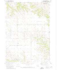
1971 · Lucas
USGS Topo · 1:24,000
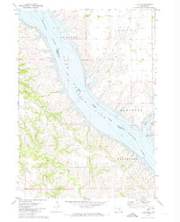
1971 · Lucas SE
USGS Topo · 1:24,000
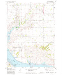
1979 · Castalia
USGS Topo · 1:24,000
Featured Places
- Hamilton Township, SD
- La Roche Township, SD
- Castalia Township, SD
- Milk's Camp Segment, SD
- Charles Mix County, SD