1980s Maps of Haakon County, South Dakota
Explore 33 historic maps of Haakon County from the 1980s. These maps offer a rare glimpse into what life looked like during the 1980s — showing old roads, neighborhoods, homes, and landmarks that have changed or disappeared over time.
Whether you're researching your family's past, planning a metal detecting trip, or studying how Haakon County's landscape evolved across the 1980s, these high-resolution maps are a powerful tool for exploring the history of this region.
- Focus on a specific era: All maps on this page are from the 1980s, giving you a focused view of this time period.
- See what’s changed: Compare century-old streets, trails, and buildings to today's modern landscape using overlays and satellite layers.
- Research with precision: Use these maps for genealogy, historical research, land use analysis, or educational projects.
- View, download, or print: Maps are fully viewable online in high resolution, and can be downloaded or printed for your own records.
Start exploring Haakon County's history through authentic maps from the 1980s. This is your window into the past.
Haakon County, SD maps
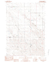
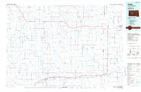
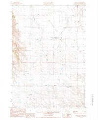
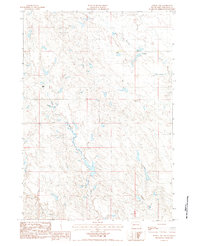
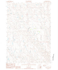
(33)- 1980 Map of Kadoka
 1980 Kadoka1980 Print · USGSWestern South Dakota's open plains and Badlands are captured here in the early eighties, showcasing a region defined by its railroads and reservations. Researchers can trace the routes of the Chicago and North Western or locate local landmarks like Kadoka Lake and Wanblee.
 - 1981 Map of Wall
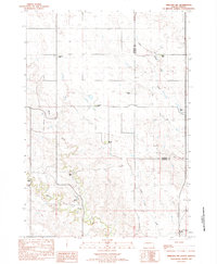
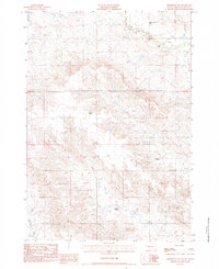
 1981 Wall1981 Print · USGSWestern South Dakota in the early eighties reveals a landscape of high tables and deep draws where the prairie meets the Badlands. Researchers can trace the path of the Chicago and North Western rail line and locate rural outposts like Scenic, Conata, and Interior.
 - 1982 Map of Whiteman Ranch, 1983 Print
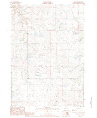
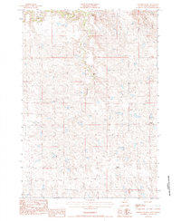
 1982 Whiteman Ranch1983 Print · USGSRanching life on the Haakon and Stanley County border is captured here in the early 1980s. Genealogists and local historians can locate specific family homesteads such as Alleman Ranch, Norman Ranch, and the Cheyenne Sch along the banks of Sansarc Creek.
 - 1982 Map of Midland NE, 1983 Print
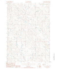
 1982 Midland NE1983 Print · USGSStanley and Haakon counties appear here in the early 1980s, showcasing a landscape shaped by legacy ranching and prairie watercourses. Genealogists and historians can trace family landholdings like the Severson Ranch, Flom Ranch, and Alcock Ranch along the banks of Big Prairie Dog Creek.
 - 1982 Map of Midland NW, 1983 Print
 1982 Midland NW1983 Print · USGSThe grasslands of central South Dakota come into focus during the early eighties, capturing the ranching heritage of the Haakon and Stanley county line. Genealogists and local historians can trace family landholdings like the Armstrong Ranch, Seidler Ranch, and Snook Ranch along the banks of Mitchell Creek.
 - 1982 Map of May Ranch, 1983 Print
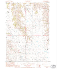
 1982 May Ranch1983 Print · USGSHaakon and Stanley counties are shown in the early eighties as a landscape of isolated family outposts and winding prairie drainages. Researchers can locate specific legacy holdings such as May Ranch, Diamond Ring Ranch, and Standiford Ranch along the breaks of Plum Creek.
 - 1983 Map of Bentley Ranch
 1983 Bentley Ranch1983 Print · USGSHaakon County ranching life is documented here in the early 1980s, showcasing a landscape of isolated homesteads and prairie creeks. Researchers can locate family landmarks like the Bentley Ranch, Hedman Ranch, and the Historical Marker near Olesen Ranch.
 - 1983 Map of Mule Creek, 1984 Print
 1983 Mule Creek1984 Print · USGSHaakon County's open rangeland is captured here in the early 1980s, revealing a landscape defined by its remote schools and winding creek beds. Genealogists and local historians can locate the Plum Creek Sch and trace the paths of Mule Creek and Ottumwa Road.
 - 1983 Map of Post Ranch, 1984 Print
 1983 Post Ranch1984 Print · USGSHaakon County ranching country is documented here in the early eighties, showing the dispersed homesteads and watercourses of the western prairie. Genealogists and local historians can locate family landmarks such as Gabriel Ranch, Foley Ranch, and the Dowling Community Ch.
 - 1983 Map of Philip, 1984 Print
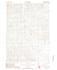
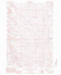
 1983 Philip1984 Print · USGSCentral South Dakota’s plains in the early eighties are mapped here, showing the rural communities and ranching landscape of Haakon County. Genealogists and historians can trace the Chicago and North Western rail corridor and find small locales like Milesville, Elevenmile Corner, and Nowlin.
 - 1983 Map of Hilland, 1984 Print
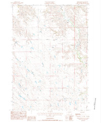
 1983 Hilland1984 Print · USGSHaakon County ranching country is captured here in the early eighties, showing the remote homesteads and prairie infrastructure of western South Dakota. Researchers can locate family landmarks like Ferguson Ranch, the Hilland Cem, and the path of the Steel Tower Trans Line.
 - 1983 Map of Elevenmile Corner, 1984 Print
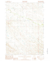
 1983 Elevenmile Corner1984 Print · USGSWestern South Dakota ranching country is captured here in the early eighties, showing a landscape shaped by drainage and distance. Genealogists and local historians can trace family-named sites like Couch Ranch, the Enterprise Sch, and Elevenmile Corner.
 - 1983 Map of Hartley, 1984 Print
 1983 Hartley1984 Print · USGSHaakon County ranching country is captured here in the early eighties, showing a landscape defined by seasonal draws and family homesteads. Genealogists and historians can trace local legacy at the Cheyenne Sch and namesake sites like Neville Ranch and Ferguson Ranch.
 - 1983 Map of Milesville, 1984 Print
 1983 Milesville1984 Print · USGSWestern Haakon County ranching country is captured here in the early 1980s, centered on the small community of Milesville. Researchers can locate historic family holdings like Meyers Ranch alongside local landmarks such as Hart Sch and St Marys Ch.
 - 1983 Map of Grindstone, 1984 Print
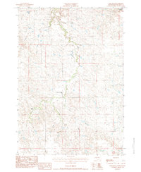
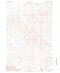 1983 Grindstone1984 Print · USGSIn the early 1980s, the Haakon County prairie was a landscape of remote ranching outposts and winding waterways. Researchers can trace the drainage of Deadmans Creek or locate the site of Lincoln Sch and the settlement at Grindstone.
 - 1983 Map of Moenville, 1984 Print
 1983 Moenville1984 Print · USGSHaakon County ranching country is documented here in the early 1980s, centered on the small settlement of Moenville. Researchers and genealogists can trace family landholdings like Foland Ranch and Schofield Ranch among the drainages of Plum Creek.
 - 1983 Map of Middle Draw, 1984 Print
 1983 Middle Draw1984 Print · USGSHaakon County ranchlands are documented here in the early eighties, showing the isolated homesteads and watercourses of the South Dakota prairie. Researchers can trace family-named sites like Schofield Ranch and Ostilen Ranch along Plum Creek.
 - 1983 Map of Horse Tooth, 1984 Print
 1983 Horse Tooth1984 Print · USGSPennington County ranching country and the Bad River headwaters are captured here in the early eighties. Genealogists can locate Severson Ranch, St Paul Cem, and community centers like Big White Sch.
 - 1983 Map of Powell NW, 1984 Print
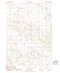
 1983 Powell NW1984 Print · USGSHaakon County's ranching landscape is documented here in the early eighties, showing the sparse settlement patterns of western South Dakota. Researchers can locate family-named landmarks like Heeb and Nelson Ranch, or trace the winding paths of Hotes Creek and Squaw Creek.
 - 1983 Map of Elm Creek Ranch, 1984 Print
 1983 Elm Creek Ranch1984 Print · USGSPennington and Haakon counties in the early eighties are mapped here as a landscape of isolated homesteads and high plains drainages. Researchers can locate family landmarks like Elm Creek Ranch and private aviation sites including the Clark Landing Strip.
 - 1983 Map of Bowen Ranch, 1984 Print
 1983 Bowen Ranch1984 Print · USGSHaakon County's ranching country is captured here during the early 1980s, centered on the river-cut landscape of the western plains. Genealogists and local historians can locate specific family holdings like Buls Ranch and Wintrode Ranch near the North Fork Bad River.
 - 1983 Map of Tornado Ranch, 1984 Print
 1983 Tornado Ranch1984 Print · USGSHaakon County ranch lands appear here in the early eighties as a network of family-held properties and creek drainages. Researchers can trace the exact locations of historic homesteads like Noteboom Ranch, Tornado Ranch, and the Hansen Ranch.
 - 1983 Map of Ottumwa, 1984 Print
 1983 Ottumwa1984 Print · USGSThe high plains of Haakon County are captured here in the early 1980s, revealing a landscape shaped by water and ranching. Genealogists can trace family-named landmarks and holdings like Heeb Ranch, Martin Ranch, and the Armstrong Landing Strip.
 - 1983 Map of Lucerne, 1984 Print
 1983 Lucerne1984 Print · USGSHaakon County's open rangeland is captured here in the early 1980s, centered on the quiet settlement of Lucerne. Researchers can trace the local drainage of Medicine Creek or locate the site of the Old Trail Sch along the historic Old Trail.
 - 1983 Map of Grindstone SW, 1984 Print
 1983 Grindstone SW1984 Print · USGSHaakon County ranching country is mapped here in the early eighties, showing a landscape of scattered homesteads and prairie draws. Genealogists can trace family holdings like Thorson Ranch or locate local landmarks including Trinity Ch and the Alfalfa Valley Sch.
Showing maps 1-25 of 33
Top cities of Haakon County
Frequently asked questions
- What are the different types of historical maps available for Haakon County?
- What is the oldest map of Haakon County?
- Where can I purchase historical maps of Haakon County for my home or office?
- Where can I download high-res historical maps of Haakon County?
- Are there historical topographic maps available for Haakon County?
- Is there historical aerial imagery available for Haakon County?
- Where are historical maps of Haakon County sourced from?