2020s Maps of Haakon County, South Dakota
Explore 54 historic maps of Haakon County from the 2020s. These maps offer a rare glimpse into what life looked like during the 2020s — showing old roads, neighborhoods, homes, and landmarks that have changed or disappeared over time.
Whether you're researching your family's past, planning a metal detecting trip, or studying how Haakon County's landscape evolved across the 2020s, these high-resolution maps are a powerful tool for exploring the history of this region.
- Focus on a specific era: All maps on this page are from the 2020s, giving you a focused view of this time period.
- See what’s changed: Compare century-old streets, trails, and buildings to today's modern landscape using overlays and satellite layers.
- Research with precision: Use these maps for genealogy, historical research, land use analysis, or educational projects.
- View, download, or print: Maps are fully viewable online in high resolution, and can be downloaded or printed for your own records.
Start exploring Haakon County's history through authentic maps from the 2020s. This is your window into the past.
Haakon County, SD maps
(54)- 2021 Map of Belvidere NE, 2021 Print
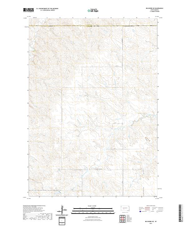 2021 Belvidere NE2021 Print · USGSThe high plains of the South Dakota interior are documented here at the boundary of Jackson and Haakon counties. Genealogists and researchers can trace the course of the W Fork Brave Bull Cr and find rural routes like Community Well Rd.
 - 2021 Map of Stamford, 2021 Print
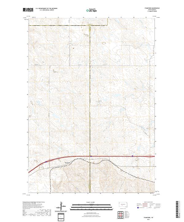 2021 Stamford2021 Print · USGSThe West River plains near the Jackson and Jones county line are captured here in the early twenty-first century. Genealogists and local historians can trace the rural infrastructure around Stamford and locate landmarks like Church Rd and the waters of Ash Cr.
 - 2021 Map of Kadoka NE, 2021 Print
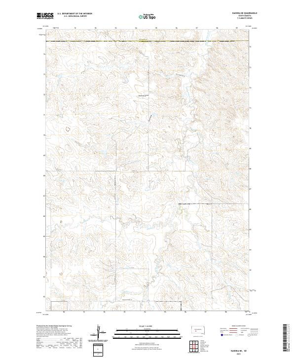 2021 Kadoka NE2021 Print · USGSJackson and Haakon counties in the early 2020s are defined by their network of prairie draws and seasonal creeks. Researchers can trace rural routes like Franklin Creek Rd or locate natural features such as Bushnell Draw and White Willow Cr.
 - 2021 Map of Stamford NW, 2021 Print
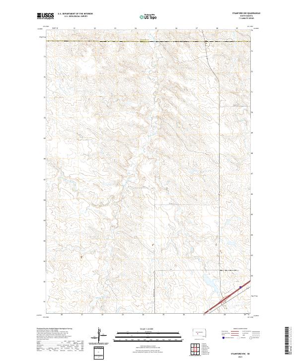 2021 Stamford NW2021 Print · USGSThe rural expanse of Jackson County appears in the early twenty-first century as a land shaped by the intricate drainage of Brave Bull Cr. Researchers can trace the rugged local road network, including Church Rd and Brave Bull Rd, across the county line.
 - 2021 Map of Cottonwood NE, 2021 Print
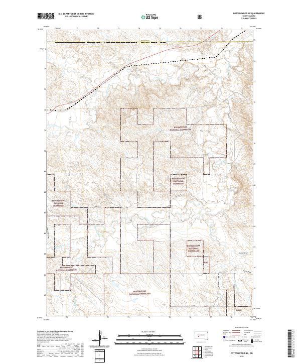 2021 Cottonwood NE2021 Print · USGSJackson County rangelands are captured in the early 2020s, showing the expansive grazing lands of the Buffalo Gap National Grassland. Researchers can trace the winding course of the S Fork Bad River and local landmarks like Jackrabbit Draw.
 - 2021 Map of Philip Junction, 2021 Print
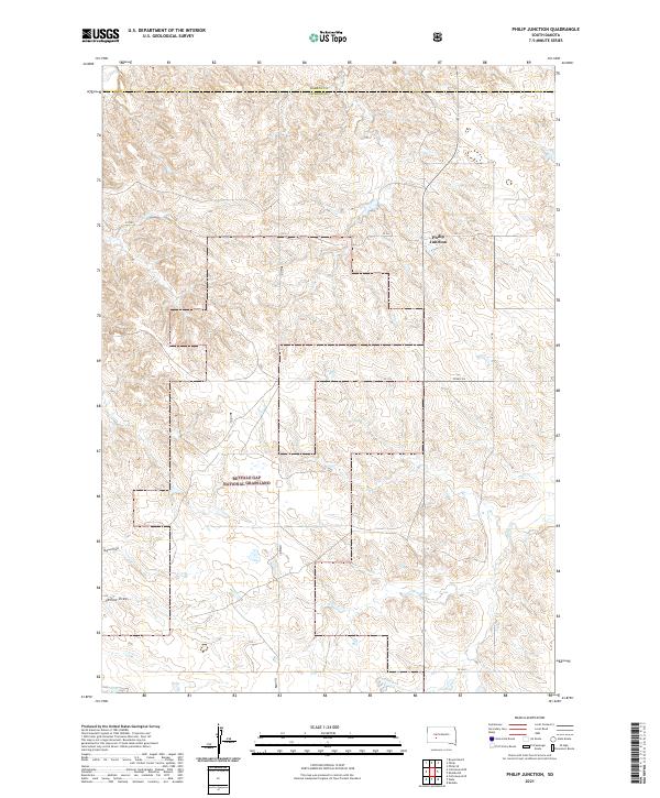 2021 Philip Junction2021 Print · USGSJackson County ranching country and the wide-open plains appear in detail during the early 2020s. Explore the intersection at Philip Junction or trace the drainage of Brady Cr as it winds through the Buffalo Gap National Grassland.
 - 2021 Map of Cottonwood, 2021 Print
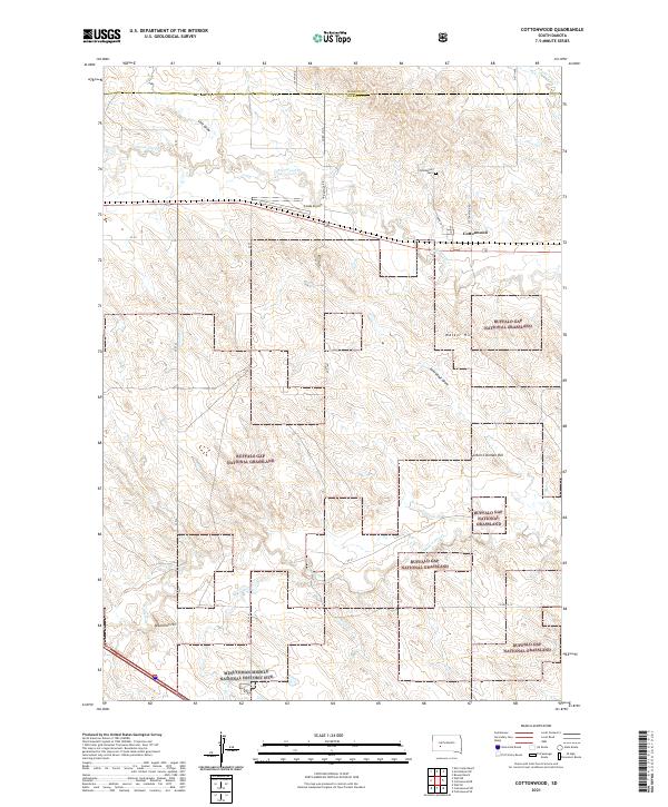 2021 Cottonwood2021 Print · USGSCottonwood and the surrounding Jackson County prairie are depicted here during the early twenty-first century. Researchers can locate the Cottonwood Cem, trace the drainage of Jackrabbit Draw, and identify the Minuteman Missile National Historic Site.
 - 2021 Map of Wall NE, 2021 Print
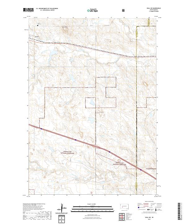 2021 Wall NE2021 Print · USGSThe prairie around Quinn is documented here as it appeared in the early 2020s. Researchers can trace the borders of the Buffalo Gap National Grassland and locate local landmarks like Quinn Butte and Mount Hope Cem.
 - 2021 Map of Grindstone, 2021 Print
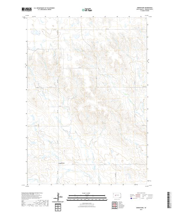 2021 Grindstone2021 Print · USGSHaakon County ranching country is documented here in the early twenty-first century, showing the settlement and drainage patterns of the Great Plains. Researchers can trace rural routes like Grindstone Rd and the winding paths of Deadmans Cr and Dirty Womans Cr.
 - 2021 Map of May Ranch, 2021 Print
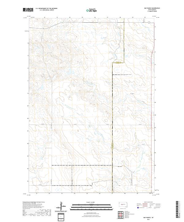 2021 May Ranch2021 Print · USGSHaakon and Stanley counties converge in this rural ranchland survey from the early 2020s. Genealogists and land researchers can trace the vast property boundaries surrounding May Ranch and follow the seasonal flow of Big Prairie Dog Cr and Plum Cr.
 - 2021 Map of Hartley, 2021 Print
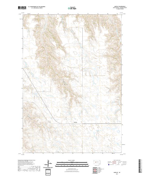 2021 Hartley2021 Print · USGSThe rural expanses of Haakon County are preserved in this modern study of the plains north of the Badlands. Researchers can trace the watercourses of Indian Springs Cr and the unique landforms of Council Bear Draw near the settlement of Hartley.
 - 2021 Map of Bentley Ranch, 2021 Print
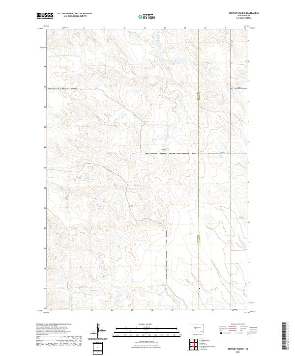 2021 Bentley Ranch2021 Print · USGSThe ranching country of Haakon and Stanley Counties is documented here in the early twenty-first century. Researchers can trace the drainage of Hermaphrodite Cr and locate family landmarks like the Bentley Ranch along the plains.
 - 2021 Map of Rattlesnake Lake SW, 2021 Print
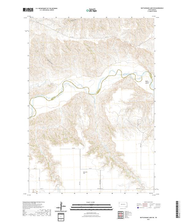 2021 Rattlesnake Lake SW2021 Print · USGSThis western South Dakota ranching country is centered on the winding Cheyenne River at the Ziebach and Haakon county line. Researchers can trace land patterns across the Milesville Flat and follow drainage routes like White Thunder Bottom and Straighthead Cr.
 - 2021 Map of Philip SE, 2021 Print
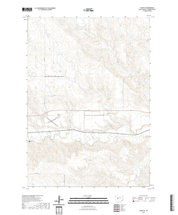 2021 Philip SE2021 Print · USGSHaakon County’s open range and winding watercourses are captured in detail during the early 2020s. Genealogists and local historians can locate the Wyckoff Cem and trace the paths of the Bad River and Belcher Draw across the plains.
 - 2021 Map of Cherry Creek, 2021 Print
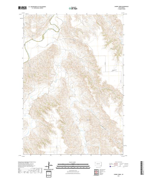 2021 Cherry Creek2021 Print · USGSThe Ziebach and Haakon county line runs along the Cheyenne River in this modern topographical study of rural South Dakota. Local historians can trace the complex drainage patterns of Plum Creek and locate landmarks like Maupin Flat and Stony Butte.
 - 2021 Map of Lucerne, 2021 Print
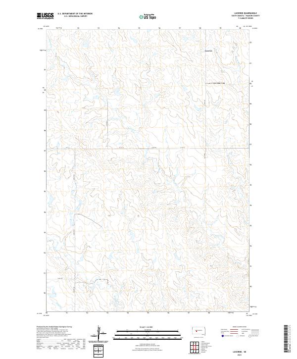 2021 Lucerne2021 Print · USGSHaakon County's rural heartland is captured here in the early twenty-first century, showing the settlement of Lucerne and its surrounding drainages. Genealogists and researchers can trace local land divisions along Airport Rd and the waters of Buzzard Cr and Medicine Cr.
 - 2021 Map of Bridger, 2021 Print
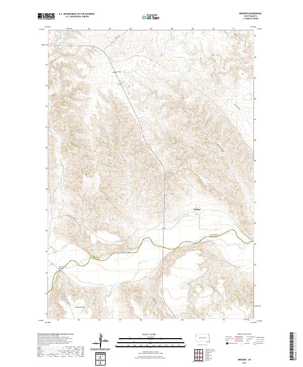 2021 Bridger2021 Print · USGSZiebach County and the Cheyenne River valley are shown here in the early 2020s as a sparsely settled landscape of high flats and winding draws. Local historians can trace the geography around Bridger, the crossing at Four Corner Bridge, and landmarks like Barthold Flat.
 - 2021 Map of Midland NE, 2021 Print
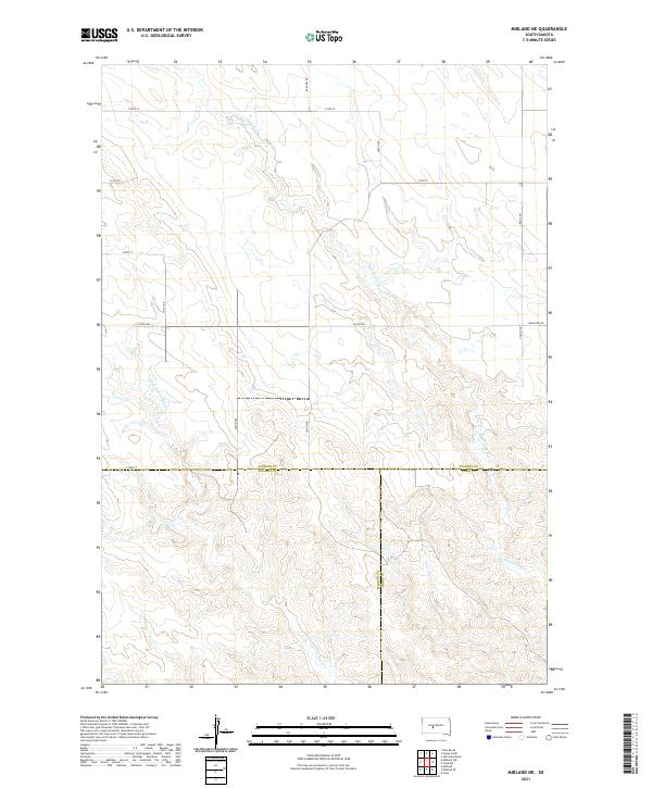 2021 Midland NE2021 Print · USGSStanley County ranch land meets Haakon and Jones counties in the early twenty-first century. Genealogists and researchers can trace the intersection of section-line roads and seasonal waterways like Big Prairie Dog Cr and Bad River Rd.
 - 2021 Map of Whiteman Ranch, 2021 Print
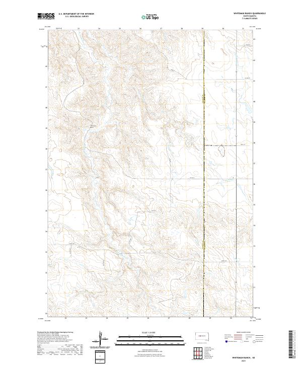 2021 Whiteman Ranch2021 Print · USGSHaakon and Stanley counties are captured here in the early twenty-first century, documenting a landscape of expansive ranchlands and seasonal drainages. Genealogists and land historians can trace property locations near Whiteman Ranch or follow the paths of Hermaphrodite Cr and Lone Tree Cr.
 - 2021 Map of Midland SE, 2021 Print
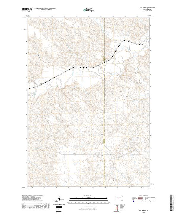 2021 Midland SE2021 Print · USGSThe high plains of South Dakota are captured in this recent survey of the river valleys along the Haakon and Jones county line. Researchers can trace the winding course of the Bad River and locate remote landmarks like T-M Draw and Capa Rd.
 - 2021 Map of Carlin Flat, 2021 Print
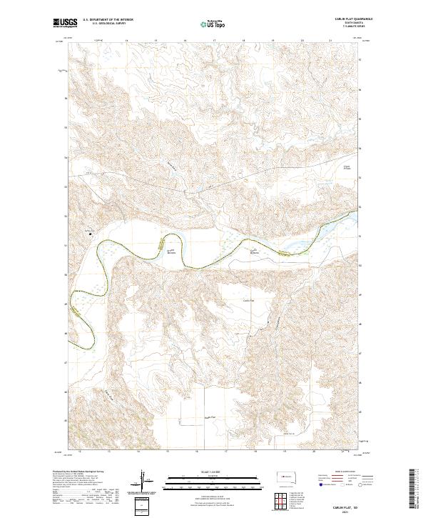 2021 Carlin Flat2021 Print · USGSThe Cheyenne River breaks the South Dakota prairie at the Haakon and Ziebach county line in this contemporary survey. Genealogists and researchers can locate the Buffalo Cem and trace livestock-era landmarks like Circle P Springs and Arnold Bottoms.
 - 2021 Map of Kirley, 2021 Print
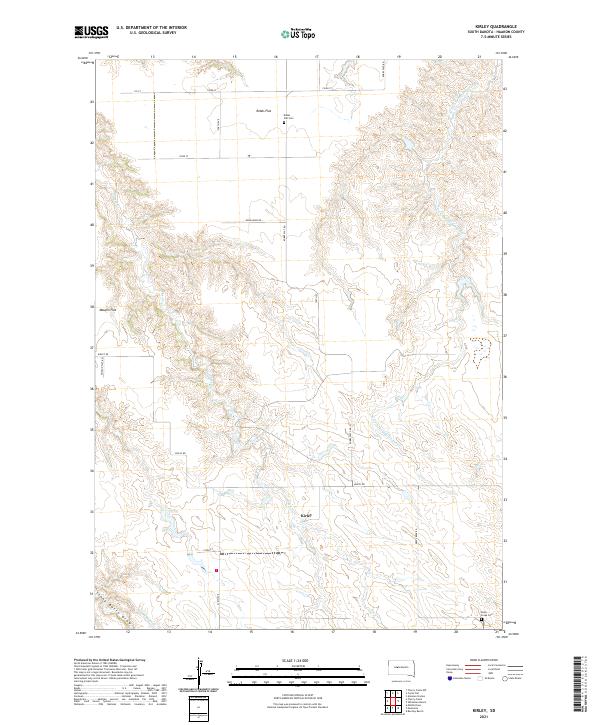 2021 Kirley2021 Print · USGSThe ranching country of Haakon County comes into focus in this recent survey of the central plains. Researchers can locate the Kirley settlement and trace family ties at the Robbs Flat Cem or Deep Creek Cem near Deep Cr.
 - 2021 Map of Bridger SE, 2021 Print
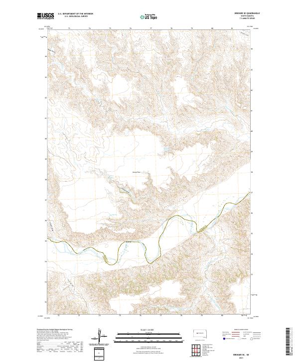 2021 Bridger SE2021 Print · USGSZiebach County is documented here in the early 2020s, showing a landscape defined by the winding Cheyenne River and its many tributaries. Researchers can trace the drainage patterns and historical water sources of the region, from Hump Flat to Black Bull Spring and Council Bear Creek.
 - 2021 Map of Tornado Ranch, 2021 Print
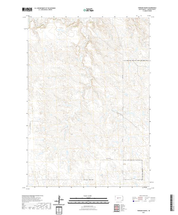 2021 Tornado Ranch2021 Print · USGSHaakon County ranching country is captured here in the early twenty-first century, showing the remote township grids of western South Dakota. Researchers can trace the drainage of Cottonwood Cr and locate the named Tornado Ranch along 216th St.
 - 2021 Map of Nowlin, 2021 Print
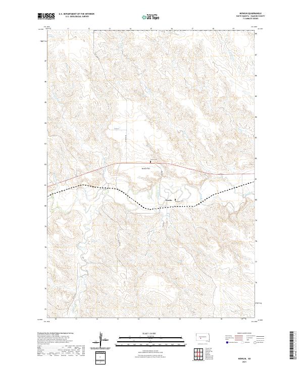 2021 Nowlin2021 Print · USGSHaakon County's river-carved plains are documented here in the early twenty-first century as the Bad River flows past the settlement of Nowlin. Genealogists can locate family landmarks like Nowlin Cem and Raymond Cem or trace named drainages including Sarah Laribee Cr.
Showing maps 1-25 of 54
Top cities of Haakon County
Frequently asked questions
- What are the different types of historical maps available for Haakon County?
- What is the oldest map of Haakon County?
- Where can I purchase historical maps of Haakon County for my home or office?
- Where can I download high-res historical maps of Haakon County?
- Are there historical topographic maps available for Haakon County?
- Is there historical aerial imagery available for Haakon County?
- Where are historical maps of Haakon County sourced from?