2000s (21st Century) Maps of Haakon County, South Dakota
Explore 216 historic maps of Haakon County from the 2000s (21st Century). These maps offer a rare glimpse into what life looked like during the 2000s — showing old roads, neighborhoods, homes, and landmarks that have changed or disappeared over time.
Whether you're researching your family's past, planning a metal detecting trip, or studying how Haakon County's landscape evolved across the 2000s, these high-resolution maps are a powerful tool for exploring the history of this region.
- Focus on a specific era: All maps on this page are from the 2000s, giving you a focused view of this time period.
- See what’s changed: Compare century-old streets, trails, and buildings to today's modern landscape using overlays and satellite layers.
- Research with precision: Use these maps for genealogy, historical research, land use analysis, or educational projects.
- View, download, or print: Maps are fully viewable online in high resolution, and can be downloaded or printed for your own records.
Start exploring Haakon County's history through authentic maps from the 2000s. This is your window into the past.
Haakon County, SD maps
(216)- 2012 Map of Philip Junction, 2012 Print
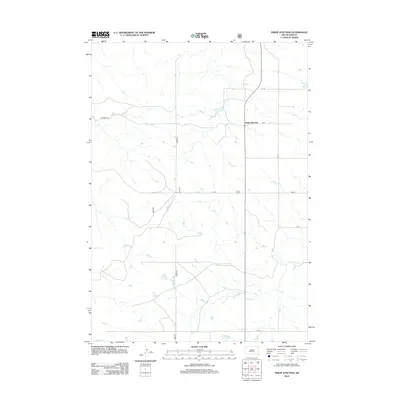 2012 Philip Junction2012 Print · USGSJackson County in the early twenty-first century remains a landscape of wide-open spaces and strategic crossroads. Genealogists and local historians can trace the rural road network connecting Philip Junction to the surrounding prairie via Cs 18 and Brady Cr.
 - 2012 Map of Cottonwood NE, 2012 Print
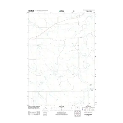 2012 Cottonwood NE2012 Print · USGSThe South Dakota prairie comes into focus in the early 2010s, showing a land defined by its vital waterways. Genealogists and researchers can trace the drainage of the S Fork Bad River and find landmarks like Dugout Draw and Little Buffalo Cr.
 - 2012 Map of Kadoka NE, 2012 Print
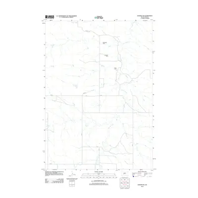 2012 Kadoka NE2012 Print · USGSThe Jackson County plains are mapped here in the early twenty-first century, showing a landscape defined by seasonal drainages and draws. Genealogists and historians can trace local landmarks like White Willow Creek, Bushnell Draw, and Ouster Creek.
 - 2012 Map of Cottonwood, 2012 Print
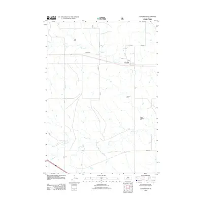 2012 Cottonwood2012 Print · USGSThe rural Jackson County landscape near Cottonwood is captured here during the early twenty-first century. Researchers can trace local history through the Cottonwood Cem, the landing strip at Cooks Airport, and natural landmarks like Ackerman Hill.
 - 2012 Map of Stamford, 2012 Print
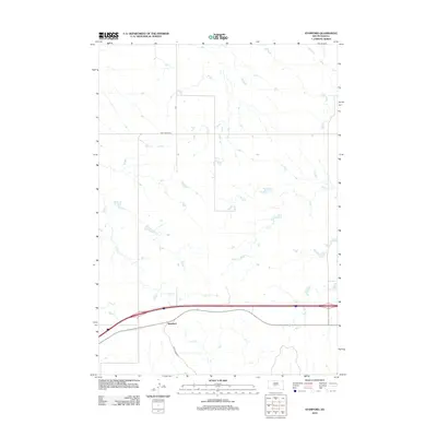 2012 Stamford2012 Print · USGSStamford and the surrounding Jackson County plains are captured here in the early 21st century. Researchers can trace the intersection of modern transport and regional drainage along Ash Cr and through the small settlement of Stamford.
 - 2012 Map of Belvidere NW, 2012 Print
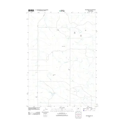 2012 Belvidere NW2012 Print · USGSJackson County rangeland comes into focus in the early 2010s, showing the intersection of rural life and the physical landscape. Researchers can trace family-named landmarks and water sources like Johnson Hill, Sandstone Flat, and Indian Cr.
 - 2012 Map of Stamford NW, 2012 Print
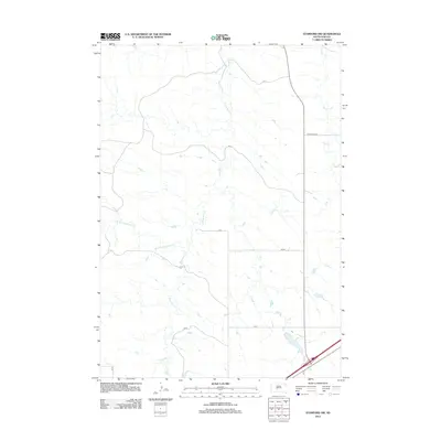 2012 Stamford NW2012 Print · USGSJackson County's open plains are captured here in the early twenty-first century, showing a landscape shaped by rural waterways and section-line roads. Trace the winding paths of Brave Bull Cr or follow local routes like CNTY ROAD CH 2 and CS 5.
 - 2012 Map of Wall NE, 2012 Print
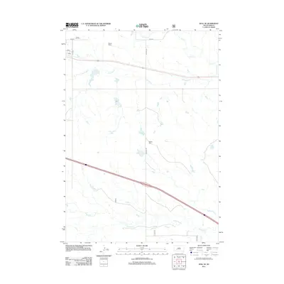 2012 Wall NE2012 Print · USGSPennington County's open prairie is captured here in the early 2010s, showing a landscape defined by ranching roads and intermittent creek beds. Genealogists and local historians can locate Mount Hope Cem and trace the drainage patterns of Cottonwood Cr and Whitewater Cr.
 - 2012 Map of Belvidere NE, 2012 Print
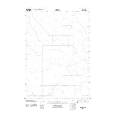 2012 Belvidere NE2012 Print · USGSJackson County's prairie landscape is documented in this early twenty-first-century survey of the South Dakota plains. Genealogists and researchers can trace rural property access along Ottumwa Rd and the drainages of W Fork Brave Bull Cr and Indian Cr.
 - 2012 Map of Moenville, 2012 Print
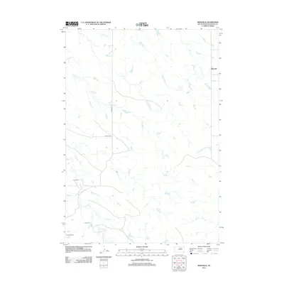 2012 Moenville2012 Print · USGSHaakon County's ranching country is documented here in the early twenty-first century, showing the dispersed settlement pattern of the plains. Researchers can locate family landmarks like Foland Ranch and follow the paths of Hermaphrodite Cr and Crooked Cr.
 - 2012 Map of Hilland NW, 2012 Print
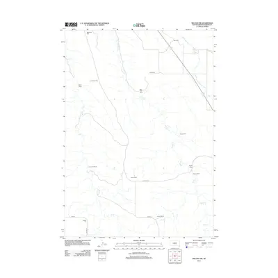 2012 Hilland NW2012 Print · USGSHaakon County ranching country is shown here in the early 2000s, characterized by expansive flats and seasonal drainages. Researchers can locate family landmarks such as Charles Price Ranch and the Dowling Cem along Hilland Rd.
 - 2012 Map of Hartley, 2012 Print
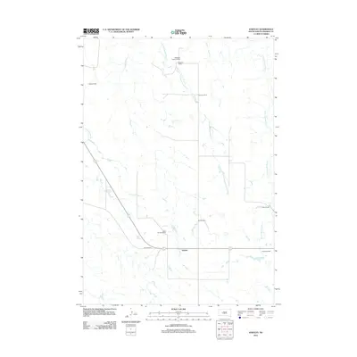 2012 Hartley2012 Print · USGSHaakon County's cattle-ranching heartland is documented here in the early twenty-first century. Researchers can trace family-named holdings and water rights along W Fork Spotted Bear Cr, including Ferguson Ranch, Pekron Ranch, and Hartley.
 - 2012 Map of Howes, 2012 Print
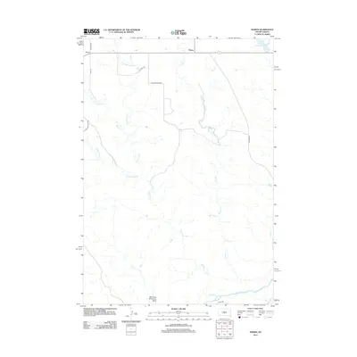 2012 Howes2012 Print · USGSThe ranching landscape of Meade County is documented here in the early twenty-first century, centered on the community of Howes. Researchers can trace the winding paths of Narcelle Cr and Negro Cr or locate specific landmarks like Whimmer Whammer Draw.
 - 2012 Map of Lucerne, 2012 Print
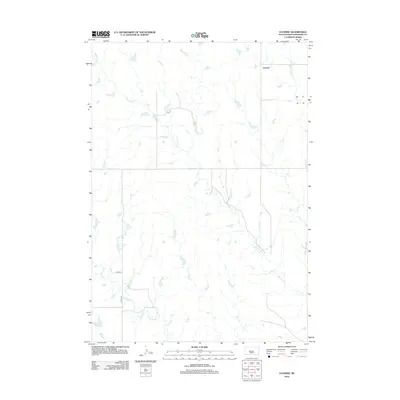 2012 Lucerne2012 Print · USGSLucerne and the surrounding Haakon County prairie are documented here during the early twenty-first century. Genealogists and land researchers can trace the course of Buzzard Cr and Medicine Cr alongside rural routes like 225th Ave.
 - 2012 Map of Midland NE, 2012 Print
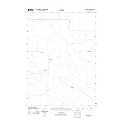 2012 Midland NE2012 Print · USGSJones County ranchlands are documented here in the early twenty-first century, showing the vast spatial layout of the South Dakota plains. Genealogists and historians can trace family-named lands like Gertonson Ranch, Alcock Ranch, and Flom Ranch.
 - 2012 Map of Bridger, 2012 Print
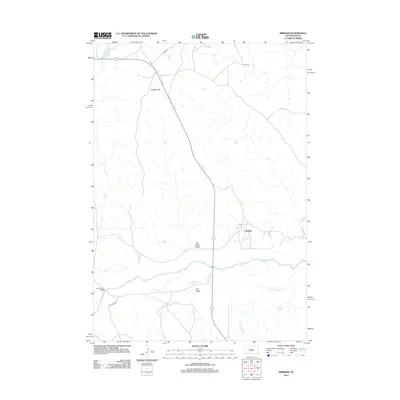 2012 Bridger2012 Print · USGSThe Cheyenne River valley in Ziebach County remains a sparsely settled ranching landscape in the early twenty-first century. Genealogists and local historians can trace the vicinity of the Bridger settlement and map the locations of V J Ranch and Lake Buffalo.
 - 2012 Map of Philip SE, 2012 Print
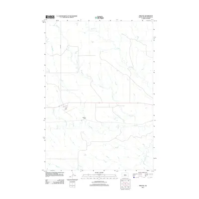 2012 Philip SE2012 Print · USGSHaakon County's prairie landscape is defined by the winding course of the Bad River in the early twenty-first century. Researchers can trace the drainage of Medicine Cr and Wilburn Cr as they feed into the river valley near the Philip Airport.
 - 2012 Map of Pedro SE, 2012 Print
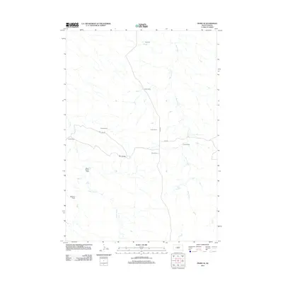 2012 Pedro SE2012 Print · USGSPennington County ranching territory remains largely unchanged in the early 2000s, centered around the land's natural draws and remote homesteads. Genealogists and local historians can trace family landholdings like Knutson Ranch and Dale Ranch along the path of Deep Cr.
 - 2012 Map of Midland SE, 2012 Print
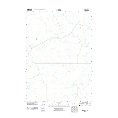 2012 Midland SE2012 Print · USGSJones County ranchlands are defined by the winding course of the Bad River in the early 2010s. Researchers can trace the complex drainage patterns of Lone Tree Cr and South Cr as they navigate the varied terrain of T-M Draw.
 - 2012 Map of Pedro, 2012 Print
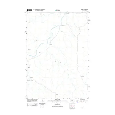 2012 Pedro2012 Print · USGSThe ranching country of Pennington County is captured here in the early twenty-first century as the Cheyenne River winds through the high plains. Genealogists and local historians can trace family-named sites like Bastian Ranch, Pedro, and the Rose Cem.
 - 2012 Map of Nowlin, 2012 Print
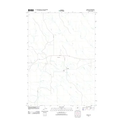 2012 Nowlin2012 Print · USGSThe Haakon County prairie comes into focus in the early 21st century, centered on the historic Nowlin settlement area. Genealogists and local researchers can trace the rural landscape through Nowlin Cem, the Bad River corridor, and landmarks like Kunkle Flat.
 - 2012 Map of Midland NW, 2012 Print
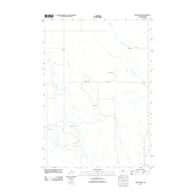 2012 Midland NW2012 Print · USGSHaakon County's cattle-ranching heartland is documented here in the early twenty-first century, showing a landscape defined by expansive family holdings. Genealogists and local historians can trace the footprints of established properties like Armstrong Ranch, Nemec Ranch, and Blucher Ranch.
 - 2012 Map of Horse Tooth, 2012 Print
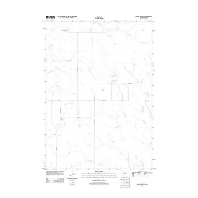 2012 Horse Tooth2012 Print · USGSPennington County ranching country is captured here in the early twenty-first century, showing a landscape defined by water and wind. Genealogists and local historians can locate Saint Paul Cem and family-named sites like Severson Ranch and Horse Tooth.
 - 2012 Map of Carlin Flat, 2012 Print
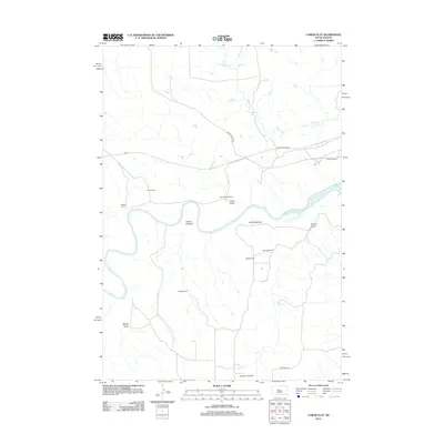 2012 Carlin Flat2012 Print · USGSRanches and river bottoms define this South Dakota landscape in the early 2010s, where the Cheyenne River cuts through the high plains. Researchers can locate family landmarks like the Annis Ranch and K Briggs Ranch, alongside the remote Buffalo Cem.
 - 2012 Map of Milesville, 2012 Print
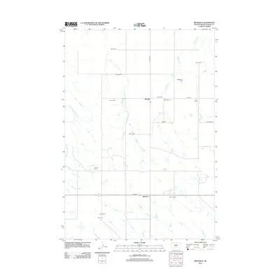 2012 Milesville2012 Print · USGSHaakon County’s ranching heartland is captured here in the early twenty-first century, showing a landscape of sprawling homesteads and prairie crossroads. Researchers can trace family legacy through locations like Gittings Ranch or visit local landmarks like Milesville Cem and Billsburg.
Showing maps 1-25 of 216
Top cities of Haakon County
Frequently asked questions
- What are the different types of historical maps available for Haakon County?
- What is the oldest map of Haakon County?
- Where can I purchase historical maps of Haakon County for my home or office?
- Where can I download high-res historical maps of Haakon County?
- Are there historical topographic maps available for Haakon County?
- Is there historical aerial imagery available for Haakon County?
- Where are historical maps of Haakon County sourced from?