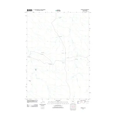
2012 Map of Pedro SE
USGS Topo · Published 2012About this map
Stony Buttes anchors a landscape defined by ranching and rugged drainage patterns in western South Dakota during the early 21st century. The map illustrates a network of named homesteads and operations, including Dale Ranch, Knutson Ranch, and Paulson Ranch, which are linked by gravel thoroughfares such as Pedro Rd and Deep Creek Rd. These named ranches reveal the enduring legacy of family land ownership in this portion of Pennington County.
Find a feature on this map
17 named features on this map. Tap any name to fly to it.
Don’t see what you’re looking for? This feature index may not catch every label — zoom into the map to look around manually.
Map Details
Editions of this 2012 Pedro SE Map
This is the sole edition of this map. No revisions or reprints were ever made.
Other maps of this area

1953 · Rapid City
USGS Topo · 1:250,000

1954 · Pierre
USGS Topo · 1:250,000

1955 · Pedro
USGS Topo · 1:24,000

1955 · Pedro NW
USGS Topo · 1:24,000

1955 · Creighton
USGS Topo · 1:24,000

1955 · Pedro SE
USGS Topo · 1:24,000

1955 · Hilland NW
USGS Topo · 1:24,000

1957 · Rapid City
USGS Topo · 1:250,000

1958 · Pierre
USGS Topo · 1:250,000

1983 · Post Ranch
USGS Topo · 1:24,000