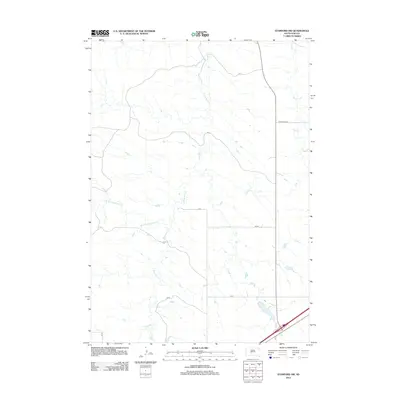
2012 Map of Stamford NW
USGS Topo · Published 2012About this map
Brave Bull Cr and its tributaries define the drainage patterns of this rural Jackson County landscape, flowing through a region marked by section lines and local section roads. In the early 21st century, this area of South Dakota maintains a sparse settlement pattern, with the hydrology of W Fork Brave Bull Cr and Ash Cr serving as the primary geographic landmarks. The map documents a network of rural access routes, including Cnty Road Ch 2 and various designated section roads such as Cs 1, Cs 4, and Cs 6. This 2012 survey illustrates the relationship between these waterways and the modern road grid, providing a clear view of the land divisions and remote infrastructure characteristic of the South Dakota plains during this period.
Find a feature on this map
12 named features on this map. Tap any name to fly to it.
Don’t see what you’re looking for? This feature index may not catch every label — zoom into the map to look around manually.
Map Details
Editions of this 2012 Stamford NW Map
This is the sole edition of this map. No revisions or reprints were ever made.
Other maps of this area

1951 · Stamford SW
USGS Topo · 1:24,000

1951 · Belvidere
USGS Topo · 1:24,000

1951 · Stamford SE
USGS Topo · 1:24,000

1953 · Belvidere NE
USGS Topo · 1:24,000

1954 · Midland
USGS Topo · 1:24,000

1954 · Nowlin
USGS Topo · 1:24,000

1954 · Midland SE
USGS Topo · 1:24,000

1954 · Pierre
USGS Topo · 1:250,000

1955 · Martin
USGS Topo · 1:250,000

1958 · Pierre
USGS Topo · 1:250,000