Old Maps of Camp Crook, South Dakota for Metal Detecting
Plan your next treasure hunt with 11 historic maps of Camp Crook. Find old homesites, ghost towns, trails, and gathering spots that may be lost to time — perfect for identifying promising metal detecting locations.
- Locate forgotten sites: Uncover places like long-lost settlements, abandoned rail lines, or gathering spots.
- Plan better hunts: Use map overlays combined with LiDAR or satellite views to narrow in on historically rich areas.
- Made for detectorists: Thousands of hobbyists use these maps to discover relics, coins, and hidden history.
Use these historic maps to boost your research and find new opportunities beneath the surface of Camp Crook.
Camp Crook, SD maps
(11)- 1935 Map of Buffalo
 1935 Buffalo1935 Print · USGSHarding County in the mid-1930s remains a wide-open landscape where the early road system connects remote prairie outposts. Genealogists and historians can locate early settlements like Camp Crook and Bullock or trace the drainages of the Little Missouri River and South Fork Grand River.
 - 1954 Map of Lemmon, 1964 Print
 1954 Lemmon1964 Print · USGSThe high plains of South Dakota and North Dakota are documented here during the mid-twentieth century. Family researchers can trace dozens of country school sites like Green Cabin School and Bierke School alongside landmarks like The Castles.2 unique versions available
 - 1957 Map of Lemmon
 1957 Lemmon1957 Print · USGSThe northwestern plains of South Dakota and North Dakota are captured here in the mid-fifties, centered on the rail hub of Lemmon. Genealogists and historians can trace dozens of rural schoolhouses and vanished sites like Imogene and the Shadehill Reservoir area.
 - 1977 Map of Camp Crook, 1978 Print
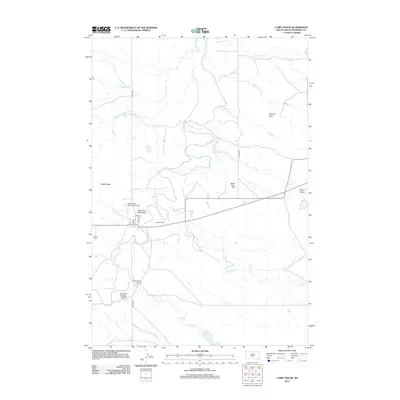
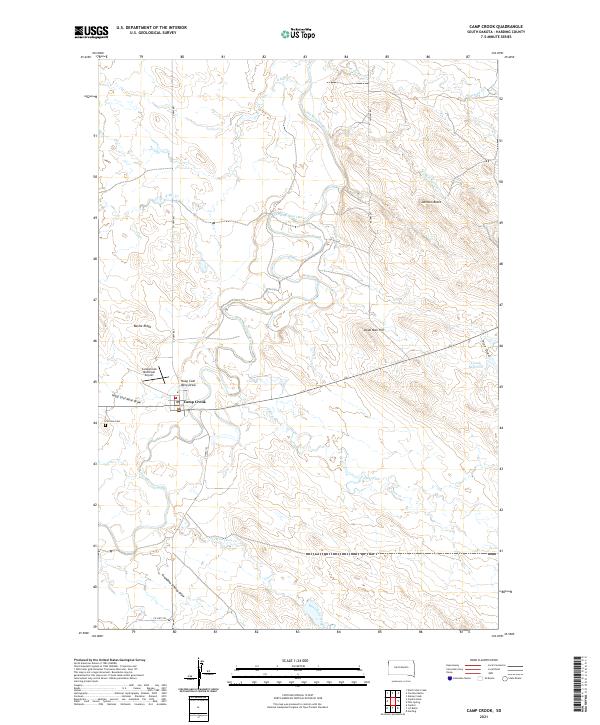
 1977 Camp Crook1978 Print · USGSCamp Crook and the surrounding Harding County range appear here in the late seventies, centered on the winding Little Missouri River. Researchers can trace the layout of the Catron Ranch, locate the Fairview Cem, or find the Hoag Coal Mine Draw.
 - 1980 Map of Camp Crook
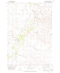
 1980 Camp Crook1980 Print · USGSNorthwestern South Dakota and the North Dakota borderlands come into focus in the late seventies, showing a landscape of high buttes and river breaks. Researchers can trace remote ranching outposts like Ralph and Ladner or locate landmarks like Window Rock and the Harding County Airport.
 - 1993 Map of Camp Crook, 1996 Print
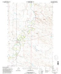 1993 Camp Crook1996 Print · USGSHarding County ranching and river life are recorded in the 1990s as the Little Missouri River winds past Camp Crook. Researchers can trace local heritage through the Fairview Cem and family holdings like Moseley Ranch or the K Bar.
 - 2005 Map of Camp Crook, 2007 Print
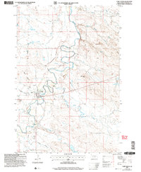 2005 Camp Crook2007 Print · USGSCamp Crook and the surrounding Harding County landscape are documented here at the turn of the millennium. Researchers can trace ranching history at the K Bar and Catron Ranch, or locate the Fairview Cem and the Rodeo Ground along the Little Missouri River.
 - 2012 Map of Camp Crook, 2012 Print
 2012 Camp Crook2012 Print · USGSCovers Camp Crook, including Harding County, United States, and other nearby areas
 - 2015 Map of Camp Crook, 2015 Print
 2015 Camp Crook2015 Print · USGSCovers Camp Crook, including Harding County, United States, and other nearby areas
 - 2017 Map of Camp Crook, 2017 Print
 2017 Camp Crook2017 Print · USGSCovers Camp Crook, including Harding County, United States, and other nearby areas
 - 2021 Map of Camp Crook, 2021 Print
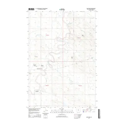
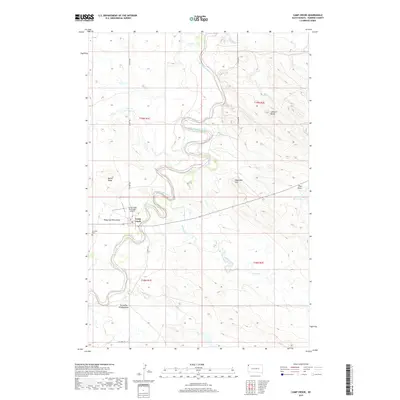
 2021 Camp Crook2021 Print · USGSNorthwestern South Dakota's ranching country comes into focus in this recent study of the Camp Crook vicinity. Genealogists and researchers can trace family landmarks like Grandma Schang Draw or locate burials at Fairview Cem near the Little Missouri River.
End of results
Showing maps 1-11 of 11
Frequently asked questions
- What are the different types of historical maps available for Camp Crook?
- What is the oldest map of Camp Crook?
- Where can I purchase historical maps of Camp Crook for my home or office?
- Where can I download high-res historical maps of Camp Crook?
- Are there historical topographic maps available for Camp Crook?
- Is there historical aerial imagery available for Camp Crook?
- Where are historical maps of Camp Crook sourced from?