2020s Maps of Jackson County, South Dakota
Explore 45 historic maps of Jackson County from the 2020s. These maps offer a rare glimpse into what life looked like during the 2020s — showing old roads, neighborhoods, homes, and landmarks that have changed or disappeared over time.
Whether you're researching your family's past, planning a metal detecting trip, or studying how Jackson County's landscape evolved across the 2020s, these high-resolution maps are a powerful tool for exploring the history of this region.
- Focus on a specific era: All maps on this page are from the 2020s, giving you a focused view of this time period.
- See what’s changed: Compare century-old streets, trails, and buildings to today's modern landscape using overlays and satellite layers.
- Research with precision: Use these maps for genealogy, historical research, land use analysis, or educational projects.
- View, download, or print: Maps are fully viewable online in high resolution, and can be downloaded or printed for your own records.
Start exploring Jackson County's history through authentic maps from the 2020s. This is your window into the past.
Jackson County, SD maps
(45)- 2021 Map of Stamford SE, 2021 Print
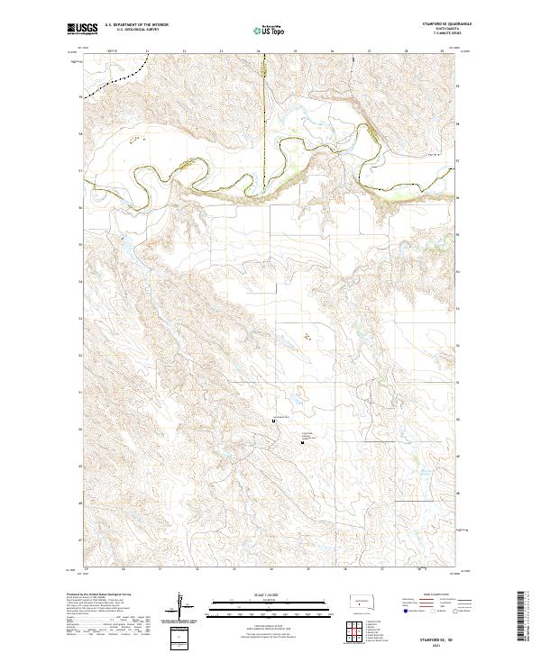 2021 Stamford SE2021 Print · USGSThe northern Mellette County plains are captured here in the early twenty-first century, centered on the winding bends of the White River. Family historians can locate remote landmarks like the Saint Paul German Lutheran Cem and White Horse Springs.
 - 2021 Map of Wanblee NE, 2021 Print
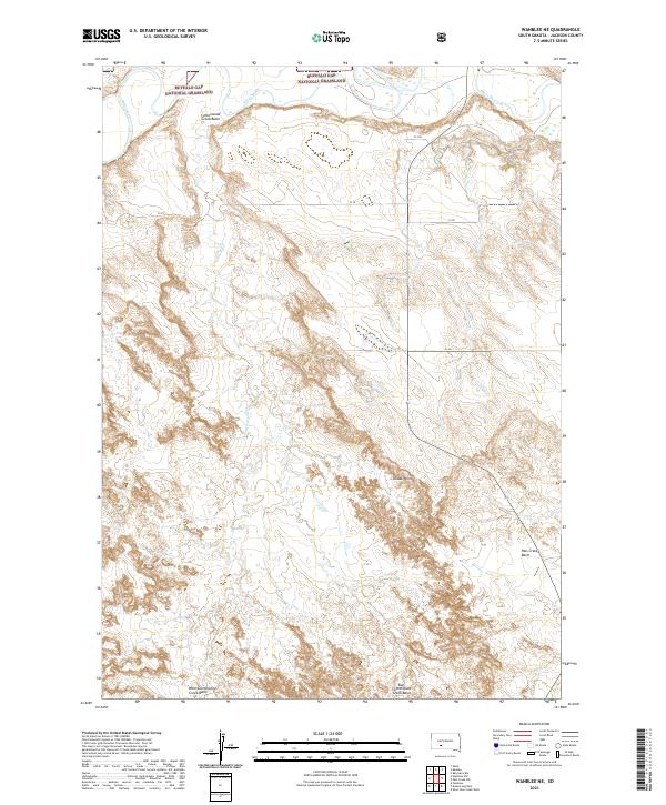 2021 Wanblee NE2021 Print · USGSJackson County's prairie landscapes are captured here in the early twenty-first century, showing the intersection of public lands and river drainage. Genealogists and land researchers can trace the reaches of Buffalo Gap National Grassland and landmarks like Kodak Point or the White River.
 - 2021 Map of Wanblee, 2021 Print
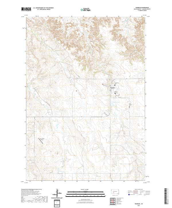 2021 Wanblee2021 Print · USGSWanblee and the high plains of Jackson County are captured here in the early twenty-first century. Researchers can locate community landmarks such as Catholic Mission Cem, Gethsemane Cem, and the waters of Wanblee Lake.
 - 2021 Map of Belvidere NE, 2021 Print
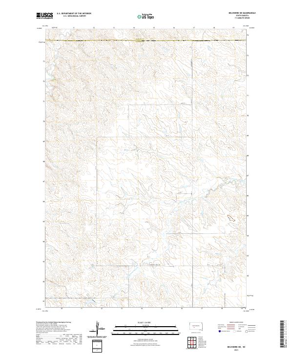 2021 Belvidere NE2021 Print · USGSThe high plains of the South Dakota interior are documented here at the boundary of Jackson and Haakon counties. Genealogists and researchers can trace the course of the W Fork Brave Bull Cr and find rural routes like Community Well Rd.
 - 2021 Map of Corn Creek, 2021 Print
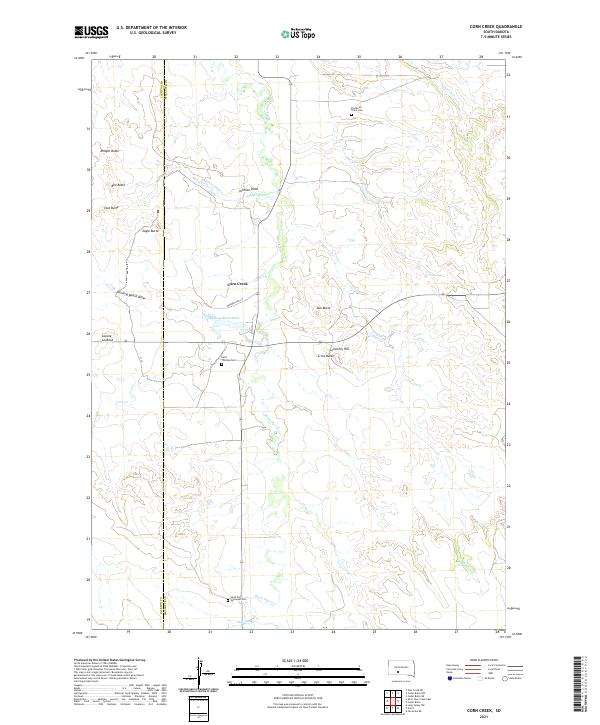 2021 Corn Creek2021 Print · USGSMellette and Jackson counties are documented here in the modern era, showing a landscape defined by rolling buttes and traditional creek crossings. Researchers can locate specific burial sites and family landmarks like Stands for Them Cem, Eagle Butte, and Saint Thomas Cem.
 - 2021 Map of Pass Creek NE, 2021 Print
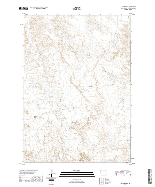 2021 Pass Creek NE2021 Print · USGSThe open plains of Jackson County are captured here in the early twenty-first century, showing a landscape defined by livestock ponds and distinctive buttes. Trace the local topography through landmarks like Cedar Butte and water sources like Red Rock Pond and Corral Pond.
 - 2021 Map of Short Bow Creek West, 2021 Print
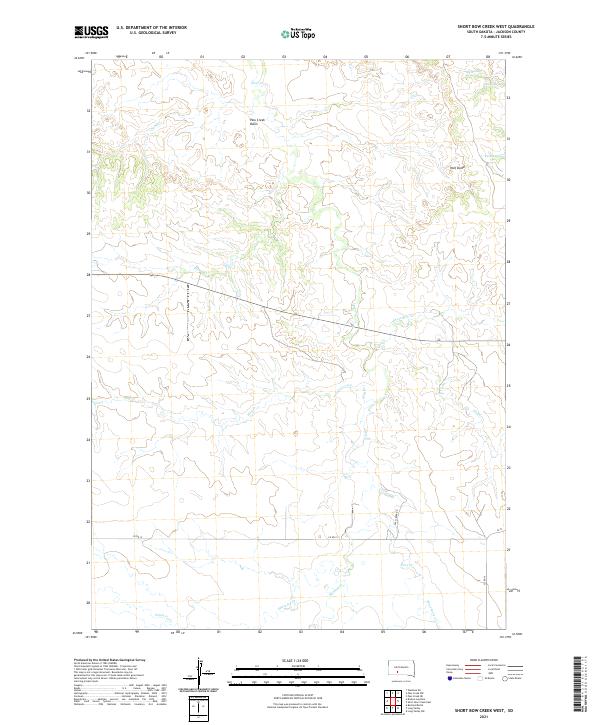 2021 Short Bow Creek West2021 Print · USGSJackson County's high plains are captured here in the early twenty-first century, showing a landscape shaped by seasonal water and cattle country. Researchers can trace remote ranching routes like Pass Creek Rd and locate local landmarks such as Half Dome and Hill Spring.
 - 2021 Map of Kadoka, 2021 Print
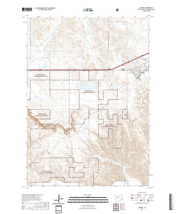 2021 Kadoka2021 Print · USGSThe high plains of Jackson County are captured in this recent survey of the gateway to the Badlands. Genealogists and local historians can locate the Jackson County Courthouse, Kadoka Lake, and the Kadoka Calvary - Fairview Cemetery.
 - 2021 Map of Stamford, 2021 Print
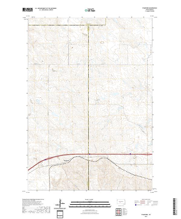 2021 Stamford2021 Print · USGSThe West River plains near the Jackson and Jones county line are captured here in the early twenty-first century. Genealogists and local historians can trace the rural infrastructure around Stamford and locate landmarks like Church Rd and the waters of Ash Cr.
 - 2021 Map of Kyle, 2021 Print
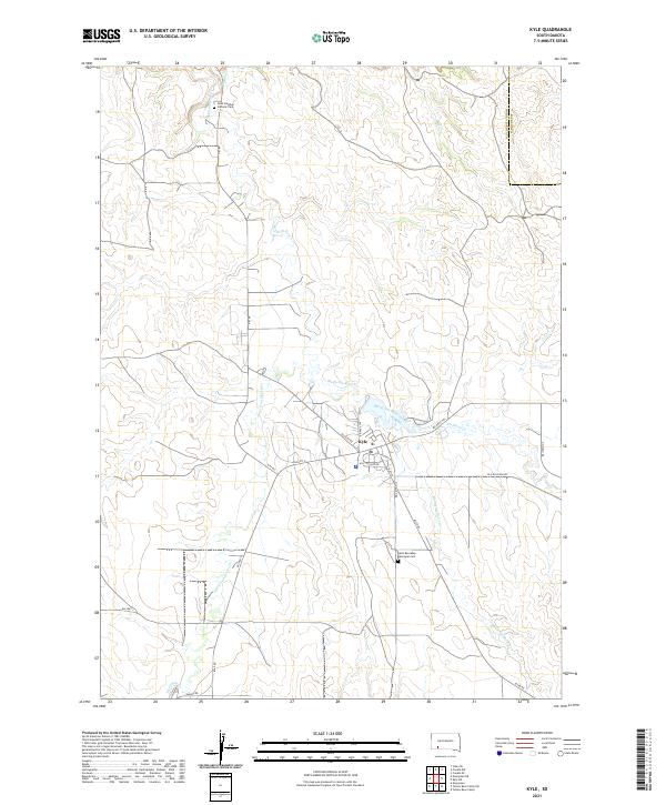 2021 Kyle2021 Print · USGSKyle and the surrounding Oglala Lakota lands are captured here in the early twenty-first century as a network of creek-side settlements. Family historians can locate Saint Barnabas Episcopal Cem, Saint Stephen Catholic Cem, and follow the Big Foot Trl across the prairie.
 - 2021 Map of Horse Creek, 2021 Print
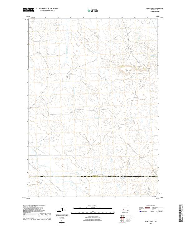 2021 Horse Creek2021 Print · USGSWestern South Dakota's open range comes into focus in this contemporary survey of Jackson and Bennett counties. Researchers can trace the drainages of Eagle Nest Cr and Bear-in-the-Lodge Cr or locate the landmark summit of Eagle Nest Butte.
 - 2021 Map of Short Bow Creek East, 2021 Print
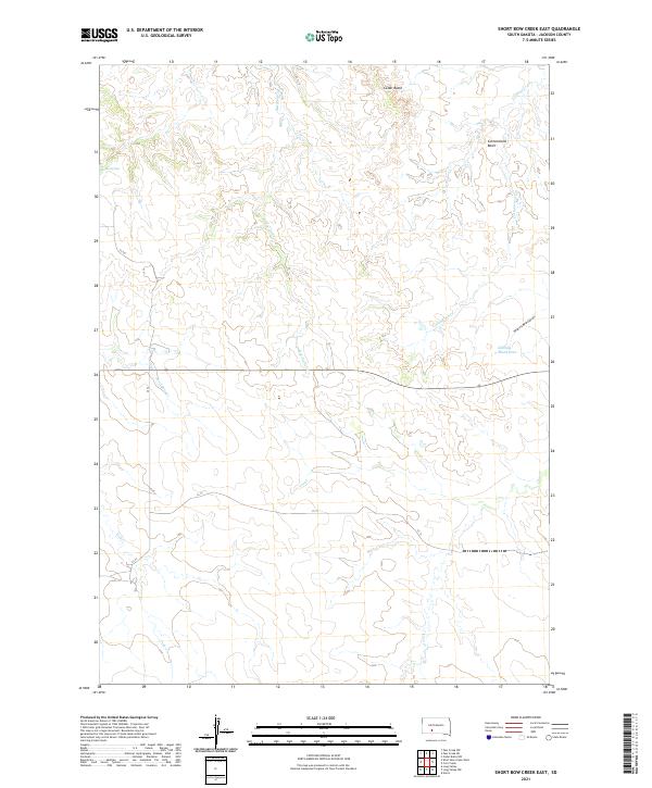 2021 Short Bow Creek East2021 Print · USGSJackson County's open grasslands and drainages are documented here in the early twenty-first century. Researchers can trace land features like Cedar Butte, locate Rooks Spring, and follow the winding path of Klinking Beard Draw.
 - 2021 Map of Conata, 2021 Print
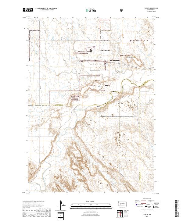 2021 Conata2021 Print · USGSThe high plains and river breaks of Oglala Lakota County are mapped here during the early twenty-first century. Researchers can trace the winding course of the White River through the Buffalo Gap National Grassland and locate the small settlement of Conata.
 - 2021 Map of Belvidere SW, 2021 Print
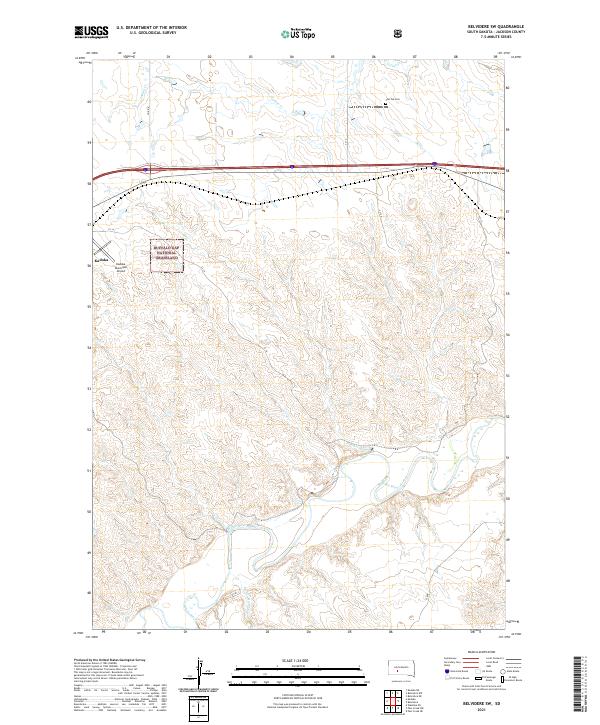 2021 Belvidere SW2021 Print · USGSThe western South Dakota plains and the winding White River define this Jackson County landscape as it appeared in recent years. Genealogists and local historians can locate Flat Top Cem and trace the geography of the Buffalo Gap National Grassland near Kadoka.
 - 2021 Map of Stamford SW, 2021 Print
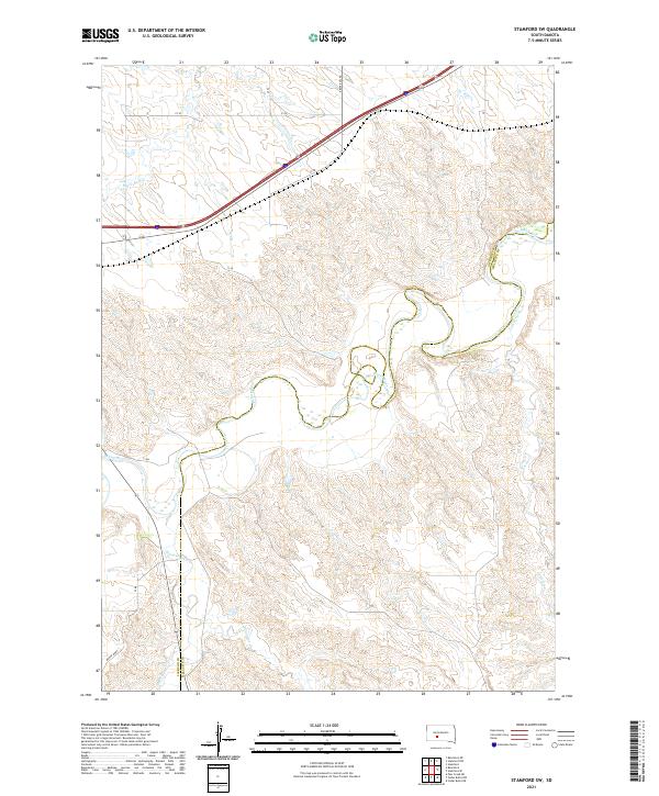 2021 Stamford SW2021 Print · USGSThe northern plains of Jackson County are defined here by the winding White River and its network of prairie tributaries. Researchers can trace the watercourses of Brave Bull Cr and Black Pipe Cr alongside modern routes like Brave Bull Rd.
 - 2021 Map of Kadoka NE, 2021 Print
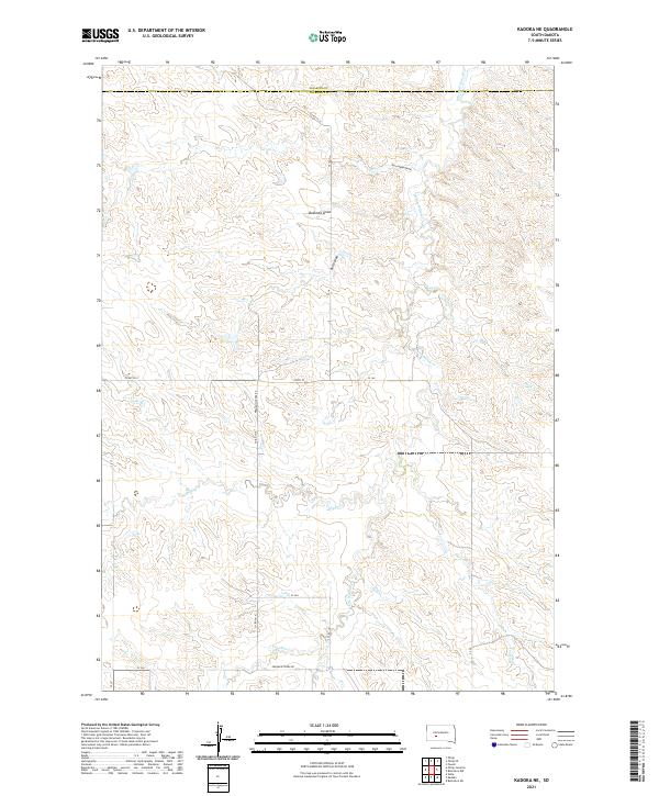 2021 Kadoka NE2021 Print · USGSJackson and Haakon counties in the early 2020s are defined by their network of prairie draws and seasonal creeks. Researchers can trace rural routes like Franklin Creek Rd or locate natural features such as Bushnell Draw and White Willow Cr.
 - 2021 Map of Potato Creek, 2021 Print
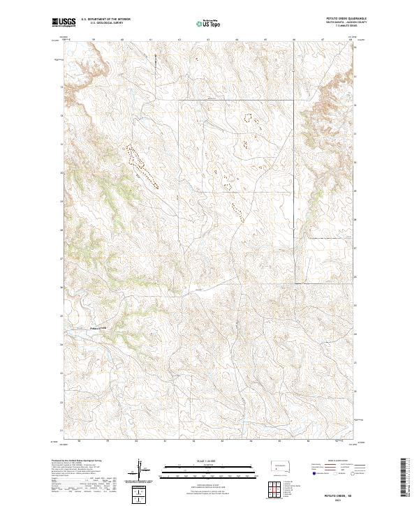 2021 Potato Creek2021 Print · USGSJackson County, South Dakota, is captured here in the early 2020s, showing a landscape defined by prairie watercourses and tribal roads. Researchers can trace the drainage of Lost Dog Cr and Turtle Cr near the settlement of Potato Creek.
 - 2021 Map of Norris, 2021 Print
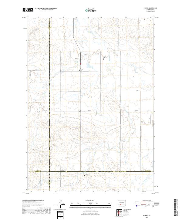 2021 Norris2021 Print · USGSThe rural prairie landscape surrounding Norris is documented here as it appeared in the early 2020s. Researchers can locate family landmarks such as the Red Leaf Tiospaye Cem, Poor Thunder Cem, and the winding path of Black Pipe Cr.
 - 2021 Map of Conata NE, 2021 Print
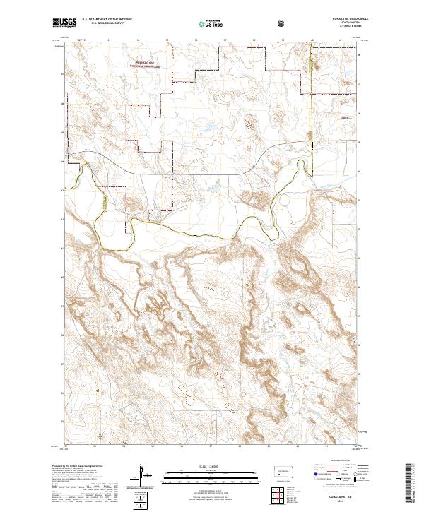 2021 Conata NE2021 Print · USGSJackson County and the grasslands of South Dakota are captured here in the early 2020s, showcasing a landscape defined by river valleys and open range. Researchers can trace the meandering White River and follow rural tracks like Agate North Trl and SN 44.
 - 2021 Map of Long Valley NW, 2021 Print
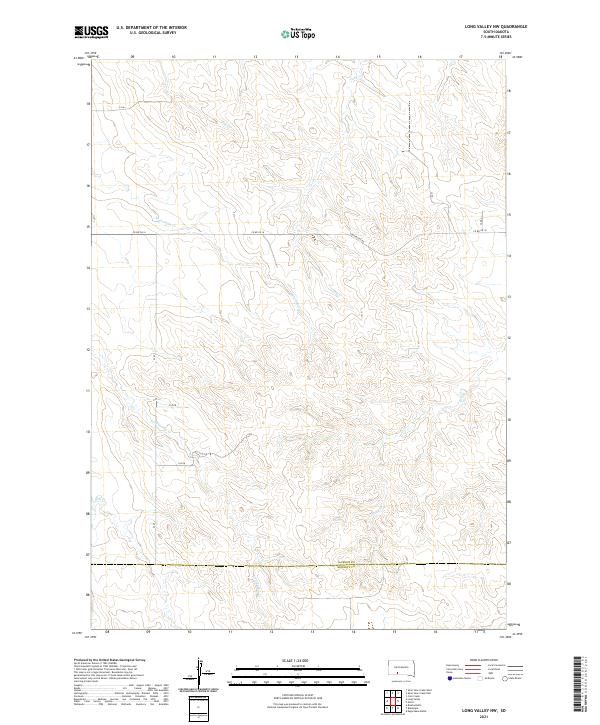 2021 Long Valley NW2021 Print · USGSThe high plains of South Dakota are captured in this recent survey of the Jackson and Bennett County border. Genealogists and researchers can trace the course of Lost Turkey Cr and Corn Cr across rural routes like Longvalley Rd and Co Rd Ch 16.
 - 2021 Map of Interior, 2021 Print
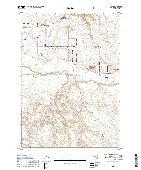 2021 Interior2021 Print · USGSIn the early twenty-first century, Interior remains a key outpost at the edge of the South Dakota badlands and the White River. Researchers can trace local history at the Interior Cem or navigate the boundaries of the Buffalo Gap National Grassland.
 - 2021 Map of Weta, 2021 Print
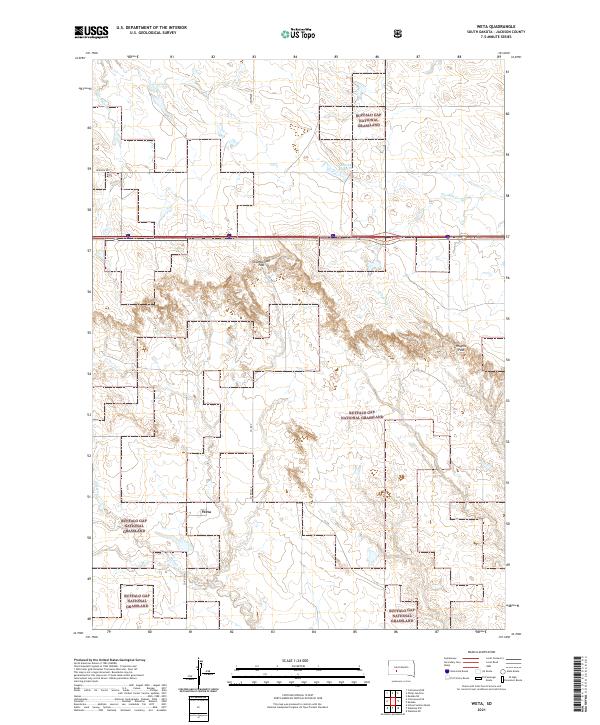 2021 Weta2021 Print · USGSThe settlement of Weta and the surrounding Jackson County ranch lands are shown here in the early 2020s. Researchers can trace land use patterns across the Buffalo Gap National Grassland and find landmarks like Chamberlain Pass and Boocke Reservoir.
 - 2021 Map of Stamford NW, 2021 Print
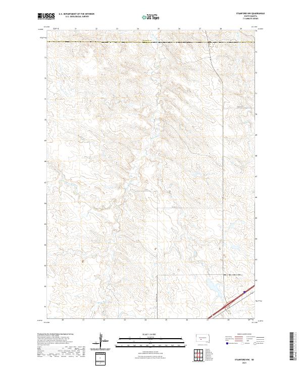 2021 Stamford NW2021 Print · USGSThe rural expanse of Jackson County appears in the early twenty-first century as a land shaped by the intricate drainage of Brave Bull Cr. Researchers can trace the rugged local road network, including Church Rd and Brave Bull Rd, across the county line.
 - 2021 Map of Cottonwood NE, 2021 Print
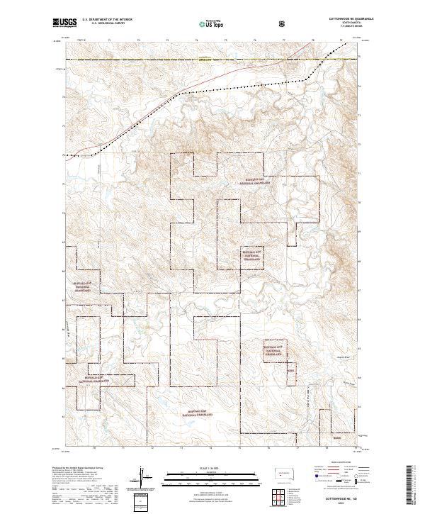 2021 Cottonwood NE2021 Print · USGSJackson County rangelands are captured in the early 2020s, showing the expansive grazing lands of the Buffalo Gap National Grassland. Researchers can trace the winding course of the S Fork Bad River and local landmarks like Jackrabbit Draw.
 - 2021 Map of Hisle, 2021 Print
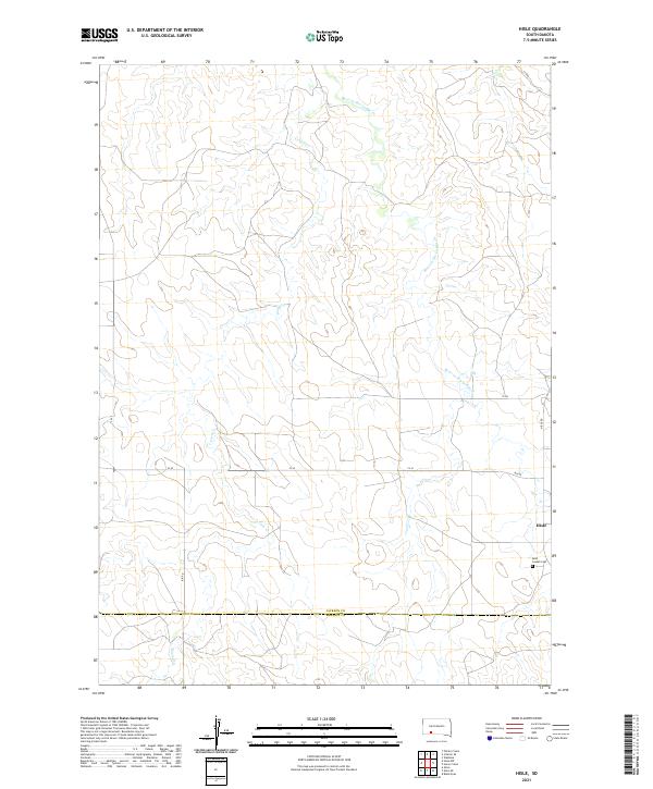 2021 Hisle2021 Print · USGSThe High Plains of Jackson County are captured here in the modern era, showing the remote settlement patterns near the Bennett County line. Genealogists and local historians can locate Hisle and trace family records at the Saint Joseph Cem near Corn Cr.
Showing maps 1-25 of 45
Top cities of Jackson County
- Kadoka historical maps
- Interior historical maps
- Belvidere historical maps
- Weta historical maps
- Cottonwood historical maps
Frequently asked questions
- What are the different types of historical maps available for Jackson County?
- What is the oldest map of Jackson County?
- Where can I purchase historical maps of Jackson County for my home or office?
- Where can I download high-res historical maps of Jackson County?
- Are there historical topographic maps available for Jackson County?
- Is there historical aerial imagery available for Jackson County?
- Where are historical maps of Jackson County sourced from?