2000s (21st Century) Maps of Jackson County, South Dakota
Explore 180 historic maps of Jackson County from the 2000s (21st Century). These maps offer a rare glimpse into what life looked like during the 2000s — showing old roads, neighborhoods, homes, and landmarks that have changed or disappeared over time.
Whether you're researching your family's past, planning a metal detecting trip, or studying how Jackson County's landscape evolved across the 2000s, these high-resolution maps are a powerful tool for exploring the history of this region.
- Focus on a specific era: All maps on this page are from the 2000s, giving you a focused view of this time period.
- See what’s changed: Compare century-old streets, trails, and buildings to today's modern landscape using overlays and satellite layers.
- Research with precision: Use these maps for genealogy, historical research, land use analysis, or educational projects.
- View, download, or print: Maps are fully viewable online in high resolution, and can be downloaded or printed for your own records.
Start exploring Jackson County's history through authentic maps from the 2000s. This is your window into the past.
Jackson County, SD maps
(180)- 2012 Map of Interior SE, 2012 Print
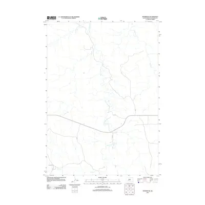 2012 Interior SE2012 Print · USGSJackson County ranching country and the meandering paths of its prairie creeks are captured here in the early twenty-first century. Genealogists and local historians can trace family-named landmarks like Headlee Ranch and the courses of Bear-in-the-Lodge Cr and Eagle Nest Cr.
 - 2012 Map of Potato Creek, 2012 Print
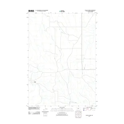 2012 Potato Creek2012 Print · USGSThe rural landscape around Jackson County appears in the early twenty-first century, centered on the settlement of Potato Creek. Researchers can trace the paths of Lost Dog Cr and Turtle Cr alongside local routes like BIA HWY 2 and Allen Rd.
 - 2012 Map of Philip Junction, 2012 Print
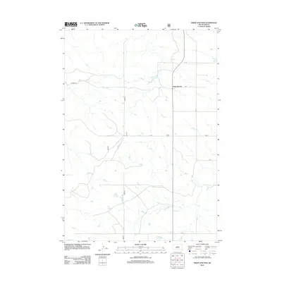 2012 Philip Junction2012 Print · USGSJackson County in the early twenty-first century remains a landscape of wide-open spaces and strategic crossroads. Genealogists and local historians can trace the rural road network connecting Philip Junction to the surrounding prairie via Cs 18 and Brady Cr.
 - 2012 Map of Short Bow Creek East, 2012 Print
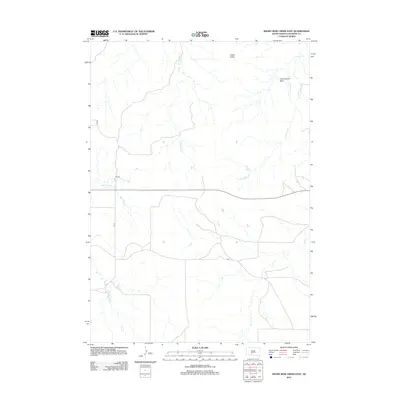 2012 Short Bow Creek East2012 Print · USGSThe open plains of Jackson County appear in this modern survey of the early 2010s, showing a land carved by extensive creek systems. Researchers can trace the drainage of Cottonwood Basin and the routes of local corridors like CS 73 and CS 71.
 - 2012 Map of Cottonwood NE, 2012 Print
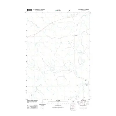 2012 Cottonwood NE2012 Print · USGSThe South Dakota prairie comes into focus in the early 2010s, showing a land defined by its vital waterways. Genealogists and researchers can trace the drainage of the S Fork Bad River and find landmarks like Dugout Draw and Little Buffalo Cr.
 - 2012 Map of Belvidere SW, 2012 Print
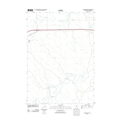 2012 Belvidere SW2012 Print · USGSJackson County ranching country is mapped here in the early twenty-first century, showing a landscape shaped by river valleys and highway corridors. Researchers can trace land holdings like Smith Ranch or locate the Flat Top Cem near the banks of Indian Cr.
 - 2012 Map of Kyle, 2012 Print
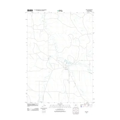 2012 Kyle2012 Print · USGSThe Pine Ridge landscape around Kyle comes into focus in this early twenty-first-century survey. Genealogists and researchers can trace the path of the Big Foot Trl and follow the winding courses of Medicine Root Cr and American Horse Cr.
 - 2012 Map of Wanblee, 2012 Print
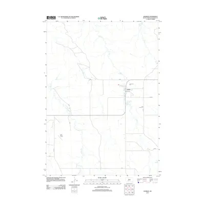 2012 Wanblee2012 Print · USGSWanblee and the surrounding ranch lands are documented here in the early twenty-first century. Genealogists and local historians can locate Gethsemane Cem, Saint Ignatius Cem, and the community grounds at Tiyoko Itopa.
 - 2012 Map of Horse Creek, 2012 Print
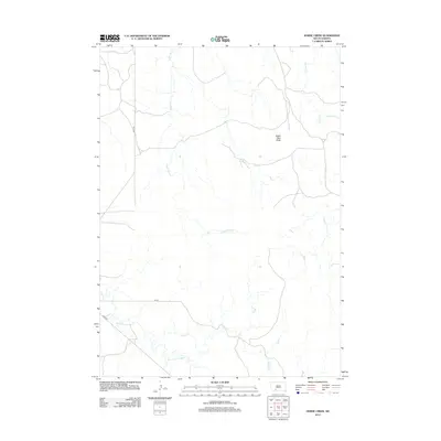 2012 Horse Creek2012 Print · USGSPine Ridge country in the early twenty-first century is defined by its wide plains and deep creek beds. Researchers can trace the paths of Eagle Nest Cr and Bear-in-the-Lodge Cr as they wind past the prominent Eagle Nest Butte.
 - 2012 Map of Long Valley NW, 2012 Print
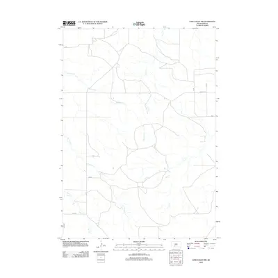 2012 Long Valley NW2012 Print · USGSBennett County ranch land is captured in the early twenty-first century, showing a remote landscape shaped by the drainages of Waterhole Cr and Corn Cr. Researchers can trace the local road network including Co Hwy Ch 16 and the winding paths of Lost Turkey Cr and Fish Cr.
 - 2012 Map of Kadoka NE, 2012 Print
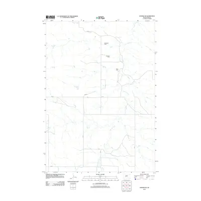 2012 Kadoka NE2012 Print · USGSThe Jackson County plains are mapped here in the early twenty-first century, showing a landscape defined by seasonal drainages and draws. Genealogists and historians can trace local landmarks like White Willow Creek, Bushnell Draw, and Ouster Creek.
 - 2012 Map of School Section Butte, 2012 Print
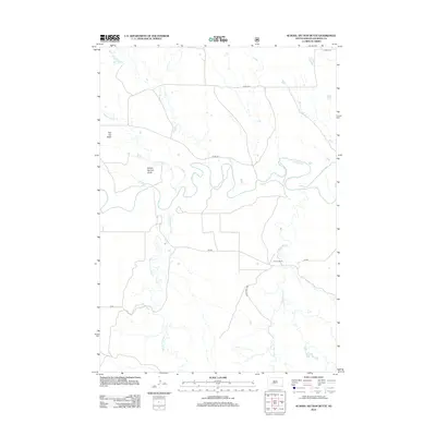 2012 School Section Butte2012 Print · USGSJackson County, South Dakota, is captured here in the early 2010s as a landscape of winding river loops and high prairie buttes. Genealogists and researchers can trace the drainages of Bear-in-the-Lodge Cr or locate specific landmarks like School Section Butte and the Craven Ranch.
 - 2012 Map of Conata SE, 2012 Print
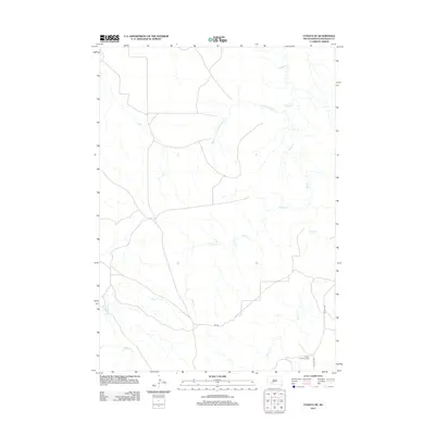 2012 Conata SE2012 Print · USGSJackson County's high plains are documented here in the early twenty-first century, showing the intersection of traditional landscapes and regional transport. Researchers can trace the Big Foot Trl and locate the Native American Cem near Bull Cr.
 - 2012 Map of Cottonwood, 2012 Print
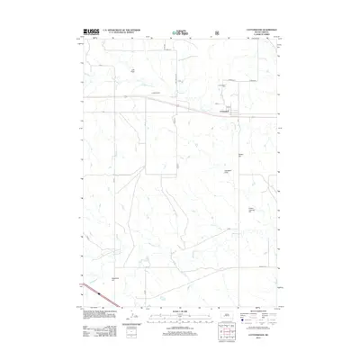 2012 Cottonwood2012 Print · USGSThe rural Jackson County landscape near Cottonwood is captured here during the early twenty-first century. Researchers can trace local history through the Cottonwood Cem, the landing strip at Cooks Airport, and natural landmarks like Ackerman Hill.
 - 2012 Map of Cottonwood SW, 2012 Print
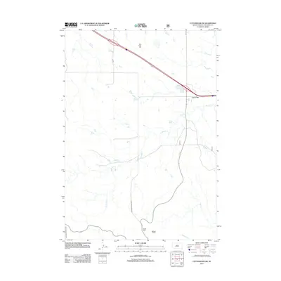 2012 Cottonwood SW2012 Print · USGSThe high plains of Jackson County meet the striking breaks of the Badlands in this 2012 survey. Researchers can trace the landscape from Cactus Flat down to the geologic formations of Cedar Pass and along the winding Big Buffalo Cr.
 - 2012 Map of Interior, 2012 Print
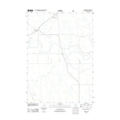 2012 Interior2012 Print · USGSThe settlement of Interior sits at a critical junction near the White River in the early twenty-first century. Researchers can trace local landmarks like the Cedar Pass Campground and the meandering course of Lost Dog Cr.
 - 2012 Map of Wanblee NW, 2012 Print
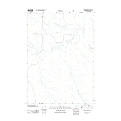 2012 Wanblee NW2012 Print · USGSJackson County, South Dakota is shown here as it appeared in the early 21st century, dominated by the meandering path of the White River. Local researchers can trace rural roads like BIA RD and the drainage patterns of Fifteen Cr and Long Cr.
 - 2012 Map of Short Bow Creek West, 2012 Print
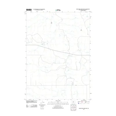 2012 Short Bow Creek West2012 Print · USGSJackson County, South Dakota, is shown here in the early twenty-first century, revealing a landscape of high plains and deep drainage basins. Genealogists and researchers can trace local water sources like Rooks Spring and the winding course of Settin Up Creek.
 - 2012 Map of Cottonwood SE, 2012 Print
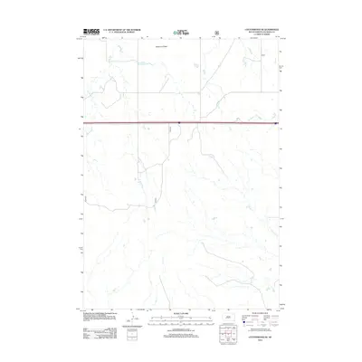 2012 Cottonwood SE2012 Print · USGSJackson County in the early twenty-first century is a landscape of expansive ranchland and seasonal waterways. Genealogists and researchers can trace the natural boundaries of Washburn Ridge and the paths of Big Buffalo Creek and Fifteen Creek.
 - 2012 Map of Kyle NE, 2012 Print
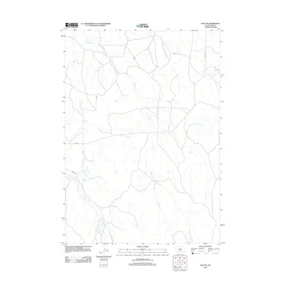 2012 Kyle NE2012 Print · USGSThe Pine Ridge Reservation area in the early twenty-first century is defined by its creek drainages and rural road networks. Researchers can trace the path of the Big Foot Trl and follow the routes of Redwater Cr and No Flesh Cr.
 - 2012 Map of Conata NE, 2012 Print
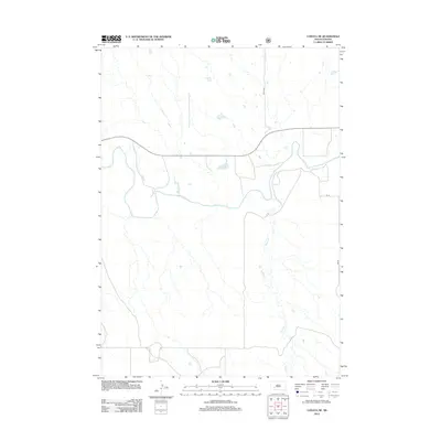 2012 Conata NE2012 Print · USGSThe open plains of Jackson County are captured in this 2012 survey just as the landscape follows the winding path of the White River. Geographers and researchers can trace the seasonal flow of Potato Cr and the rural road network including BIA Rd.
 - 2012 Map of Long Valley, 2012 Print
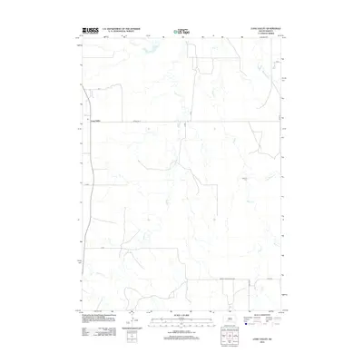 2012 Long Valley2012 Print · USGSThe community of Long Valley and the rural landscape of Bennett County are captured in this 2012 survey of the South Dakota plains. Genealogists and historians can trace the paths of Buzzard Cr and Pass Cr or locate local landmarks like the Hawking Cem.
 - 2012 Map of Pass Creek NE, 2012 Print
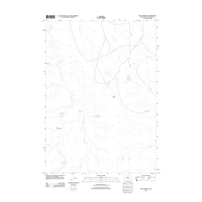 2012 Pass Creek NE2012 Print · USGSJackson County, South Dakota is mapped in the early 2010s, revealing a landscape of winding creek beds and managed ponds. Researchers can trace the drainage of Red Stone Cr and locate specific local landmarks like Brown Flat and Red Rock Pond.
 - 2012 Map of Stamford, 2012 Print
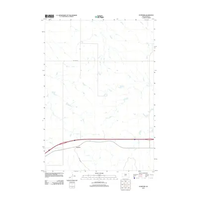 2012 Stamford2012 Print · USGSStamford and the surrounding Jackson County plains are captured here in the early 21st century. Researchers can trace the intersection of modern transport and regional drainage along Ash Cr and through the small settlement of Stamford.
 - 2012 Map of Pass Creek NW, 2012 Print
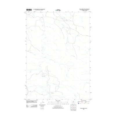 2012 Pass Creek NW2012 Print · USGSThe ranchlands of Jackson County are captured here in the early twenty-first century as they border the northern reaches of the White River. Genealogists and local historians can trace family-named sites such as Pettijohn Ranch and Rock Ranch along the banks of Pass Cr.
Showing maps 1-25 of 180
Top cities of Jackson County
- Kadoka historical maps
- Interior historical maps
- Belvidere historical maps
- Weta historical maps
- Cottonwood historical maps
Frequently asked questions
- What are the different types of historical maps available for Jackson County?
- What is the oldest map of Jackson County?
- Where can I purchase historical maps of Jackson County for my home or office?
- Where can I download high-res historical maps of Jackson County?
- Are there historical topographic maps available for Jackson County?
- Is there historical aerial imagery available for Jackson County?
- Where are historical maps of Jackson County sourced from?