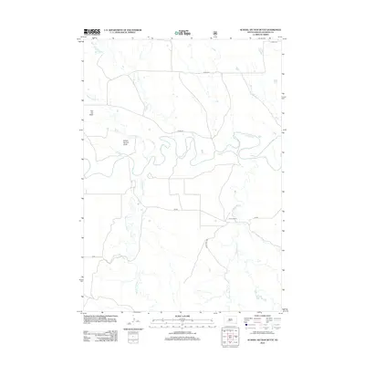
2012 Map of School Section Butte
USGS Topo · Published 2012About this map
The winding White River defines the central geography of this Jackson County landscape, carving deep loops across the prairie in the early twenty-first century. Prominent landforms such as School Section Butte and Flat Top Butte rise above the surrounding drainages, providing significant navigational markers in this open terrain. The mapping shows a network of creeks, including Sixteenmile Cr and the descriptively named Bear-in-the-Lodge Cr, which feed into the river system.
Find a feature on this map
13 named features on this map. Tap any name to fly to it.
Don’t see what you’re looking for? This feature index may not catch every label — zoom into the map to look around manually.
Map Details
Editions of this 2012 School Section Butte Map
This is the sole edition of this map. No revisions or reprints were ever made.
Other maps of this area

1950 · Interior
USGS Topo · 1:24,000

1950 · Interior SE
USGS Topo · 1:24,000

1950 · Potato Creek
USGS Topo · 1:24,000

1950 · Wanblee
USGS Topo · 1:24,000

1950 · Weta
USGS Topo · 1:24,000

1951 · Wanblee NW
USGS Topo · 1:24,000

1951 · School Section Butte
USGS Topo · 1:24,000

1955 · Martin
USGS Topo · 1:250,000

1958 · Martin
USGS Topo · 1:250,000

1960 · Cottonwood SW
USGS Topo · 1:24,000