Old Maps of Crow Township, South Dakota for Metal Detecting
Plan your next treasure hunt with 13 historic maps of Crow Township. Find old homesites, ghost towns, trails, and gathering spots that may be lost to time — perfect for identifying promising metal detecting locations.
- Locate forgotten sites: Uncover places like long-lost settlements, abandoned rail lines, or gathering spots.
- Plan better hunts: Use map overlays combined with LiDAR or satellite views to narrow in on historically rich areas.
- Made for detectorists: Thousands of hobbyists use these maps to discover relics, coins, and hidden history.
Use these historic maps to boost your research and find new opportunities beneath the surface of Crow Township.
Crow Township, SD maps
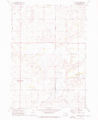
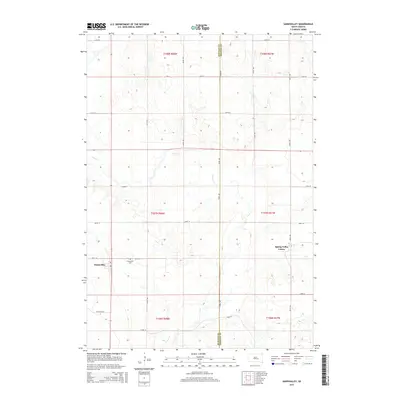
(13)- 1953 Map of Huron, 1959 Print
 1953 Huron1959 Print · USGSCentral South Dakota comes alive in the mid-1950s as a thriving rail and agricultural corridor between the Missouri and James Rivers. Trace the legacy of family farms and prairie towns like Huron, Faulkton, and Wessington Springs along the historic Chicago and North Western rail lines.3 unique versions available
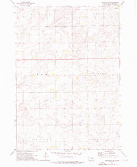
 - 1954 Map of Huron, 1977 Print
 1954 Huron1977 Print · USGSCentral South Dakota was a landscape of grain elevators and river bends during the mid-fifties. Genealogists and historians can trace the development of the James River valley through railroad towns like Redfield and the sprawling Crow Creek Indian Reservation.
 - 1973 Map of Gannvalley, 1976 Print
 1973 Gannvalley1976 Print · USGSThe Buffalo and Jerauld county line comes alive in the mid-1970s, showcasing the communal Spring Valley Colony and the rural reaches of Crow Creek. Local researchers can trace family lands in Eden or Elvira and locate the Spring Hill Cem.
 - 1973 Map of Gannvalley SE, 1976 Print
 1973 Gannvalley SE1976 Print · USGSJerauld County's agricultural heartland is documented here in the early seventies during a period of established prairie farming. Genealogists and local historians can pinpoint Harmony Ch and trace the boundaries of the Pleasant and Logan townships.
 - 1985 Map of Huron, 1986 Print
 1985 Huron1986 Print · USGSThe James River valley and the city of Huron come into focus during the mid-eighties as centers of rail and prairie commerce. Genealogists and historians can trace communal sites like Riverside Colony and established rail towns from Wolsey to Woonsocket.2 unique versions available
 - 2012 Map of Gannvalley SE, 2012 Print
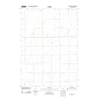 2012 Gannvalley SE2012 Print · USGSCovers Crow Township, including Crow Lake Township, Harmony Township, and other nearby areas
 - 2012 Map of Gannvalley, 2012 Print
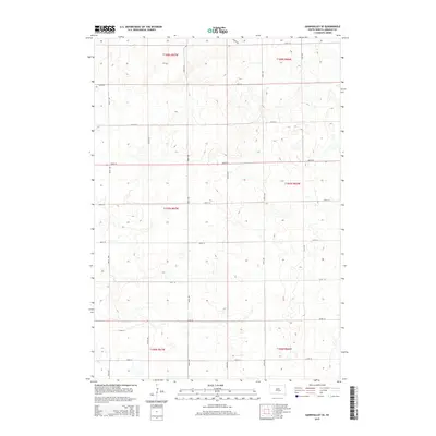
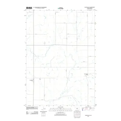 2012 Gannvalley2012 Print · USGSCovers Crow Township, including Gann Valley, Eden Township, and other nearby areas
 - 2015 Map of Gannvalley, 2015 Print
 2015 Gannvalley2015 Print · USGSCovers Crow Township, including Gann Valley, Eden Township, and other nearby areas
 - 2015 Map of Gannvalley SE, 2015 Print
 2015 Gannvalley SE2015 Print · USGSCovers Crow Township, including Crow Lake Township, Harmony Township, and other nearby areas
 - 2017 Map of Gannvalley SE, 2017 Print
 2017 Gannvalley SE2017 Print · USGSCovers Crow Township, including Crow Lake Township, Harmony Township, and other nearby areas
 - 2017 Map of Gannvalley, 2017 Print
 2017 Gannvalley2017 Print · USGSCovers Crow Township, including Gann Valley, Eden Township, and other nearby areas
 - 2021 Map of Gannvalley SE, 2021 Print
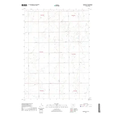
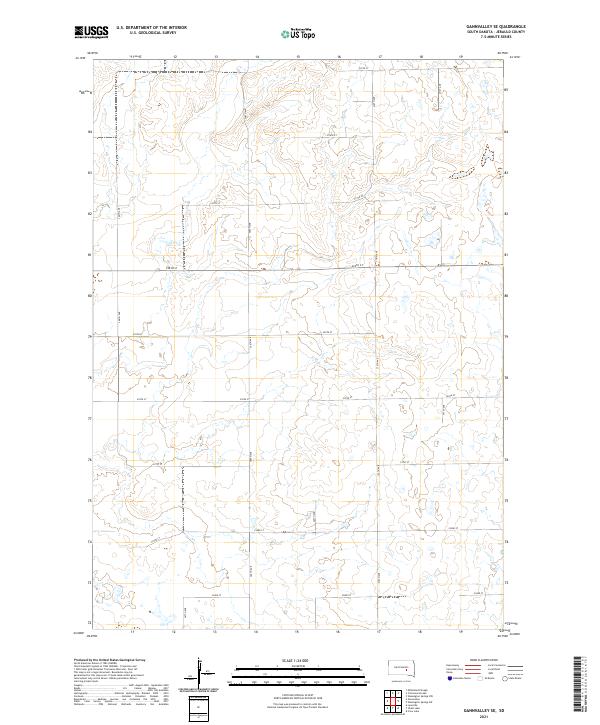 2021 Gannvalley SE2021 Print · USGSThe rural prairie of Jerauld County is captured here in the early twenty-first century, showing the enduring grid of the Public Land Survey System. Researchers can trace the layout of section roads like 225th St and 366th Ave through townships T107N R67W and T108N R66W.
 - 2021 Map of Gannvalley, 2021 Print
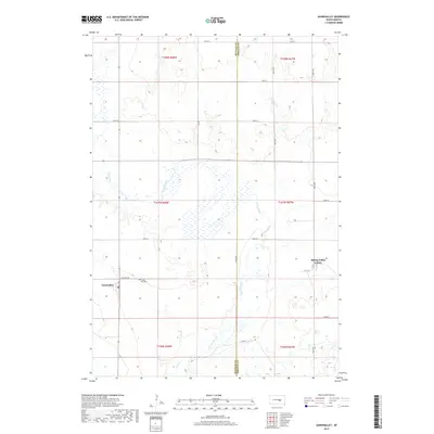
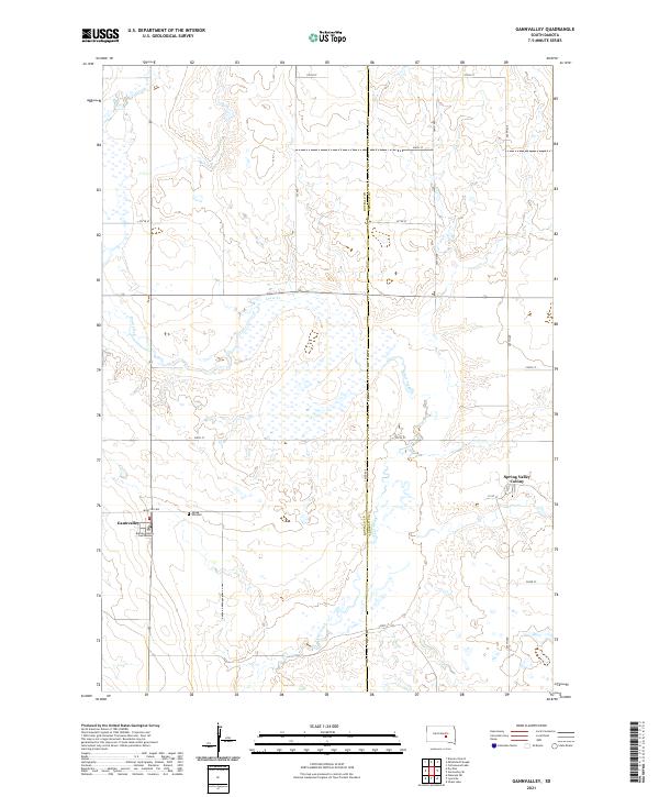 2021 Gannvalley2021 Print · USGSGannvalley and the surrounding South Dakota prairie are captured here in the early twenty-first century. Researchers can trace local history at the Buffalo County Courthouse, locate family roots at Spring Hill Cem, and explore the Spring Valley Colony.
End of results
Showing maps 1-13 of 13
Top cities near Crow Township
Top neighborhoods of Crow Township
Frequently asked questions
- What are the different types of historical maps available for Crow Township?
- What is the oldest map of Crow Township?
- Where can I purchase historical maps of Crow Township for my home or office?
- Where can I download high-res historical maps of Crow Township?
- Are there historical topographic maps available for Crow Township?
- Is there historical aerial imagery available for Crow Township?
- Where are historical maps of Crow Township sourced from?