Old Maps of Lincoln Township, South Dakota for Hiking & Exploration
Hike through history with 25 historic maps of Lincoln Township. Explore old trails, ghost towns, and forgotten backroads — perfect for outdoor adventurers and local explorers.
- Rediscover forgotten places: Map out old mining camps, roads, and footpaths that no longer exist on modern maps.
- Layer with modern tools: Combine with LiDAR or satellite views to plan hikes through historical terrain.
- Made for exploration: Popular among hikers, overlanders, and local history lovers.
Use these maps to find adventure and explore the hidden past of Lincoln Township.
Lincoln Township, SD maps
(25)- 1897 Map of Canton, 1954 Print
 1897 Canton1954 Print · USGSSoutheastern South Dakota and the Iowa borderlands were undergoing a railway-driven expansion during the 1890s. Genealogists and historians can trace early settlements like Beloit, Centerville, and Lennox as they grew along the Big Sioux River.
 - 1900 Map of Canton
 1900 Canton1900 Print · USGSSoutheastern South Dakota and the Iowa borderlands are captured here at a peak of late-nineteenth-century rail expansion. Genealogists can trace the early foundations of towns like Canton, Centerville, and Beresford along the Big Sioux River.2 unique versions available
 - 1955 Map of Sioux Falls, 1967 Print
 1955 Sioux Falls1967 Print · USGSThe eastern South Dakota and western Minnesota borderlands come alive in the mid-fifties, showing the vital rail-to-river connections of the era. Genealogists can trace family footprints across townships like Madison and Pipestone, while following the paths of the Big Sioux River and the Chicago and North Western line.3 unique versions available
 - 1958 Map of Sioux Falls
 1958 Sioux Falls1958 Print · USGSThe tri-state borderlands of South Dakota, Minnesota, and Iowa are captured here during the mid-century peak of the regional rail network. Genealogists and historians can trace local landmarks like Augustana Academy, the St Marys Cem, and the path of the Illinois Central through Rock Rapids.
 - 1964 Map of Canton SW, 1965 Print
 1964 Canton SW1965 Print · USGSLincoln County townships such as Lynn and Dayton are shown here in the mid-1960s, still defined by a dense network of country schools and rail lines. Genealogists can locate family landmarks like Grand Valley Church, Forest Hill Cemetery, and Kerley School.
 - 1964 Map of Worthing, 1965 Print
 1964 Worthing1965 Print · USGSLincoln County farmland is documented here in the mid-1960s as Interstate 29 began to reshape the local travel landscape. Genealogists and historians can locate numerous rural schools like Gedstad Sch and early landmarks including the Skie Air Service Landing Field.
 - 1968 Map of Alcester NW, 1970 Print
 1968 Alcester NW1970 Print · USGSLincoln County farmland in the late sixties is defined by its dense network of rural schools and country churches. Genealogists can trace family footprints near the Tuntland Cem, Norway Center, and several local landmarks like Sundy Sch.2 unique versions available
 - 1968 Map of Beresford NE, 1971 Print
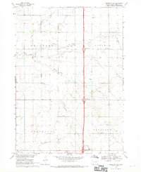 1968 Beresford NE1971 Print · USGSThe rural landscape of Lincoln County in the late sixties shows a traditional farming community at the dawn of the Interstate era. Researchers can trace the placement of local schoolhouses like Burney Sch and early burial sites including Skresfrud Cem.
 - 1985 Map of Rock Rapids
 1985 Rock Rapids1985 Print · USGSThe borderlands of South Dakota and Iowa come into focus in the mid-1980s, centered on the fertile valleys of the Big Sioux River. Genealogists and researchers can trace rural homesteads near Rock Rapids, find Dordt College in Sioux Center, or locate old burial sites like Grace Hill Cem.2 unique versions available
 - 2012 Map of Worthing, 2012 Print
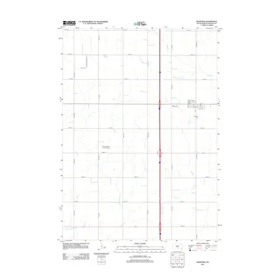 2012 Worthing2012 Print · USGSThe township of Worthing and its surrounding Lincoln County farmstead are captured here in the early 2010s. Genealogists and local historians can trace family plots at Worthing Cem or Saint Edwards Cem and locate the Skie Air Service Landing Field.
 - 2012 Map of Beresford NE, 2012 Print
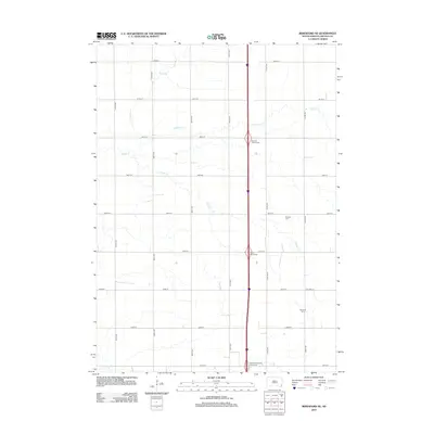 2012 Beresford NE2012 Print · USGSLincoln County’s agricultural heartland is documented here in the early twenty-first century, showing the intersection of interstate transit and traditional prairie landscapes. Genealogists and local historians can locate family sites like Pioneer Cem and Nazareth Cem along the waters of Saddle Cr.
 - 2012 Map of Canton SW, 2012 Print
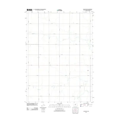 2012 Canton SW2012 Print · USGSLincoln County farmland is captured here in the early twenty-first century, showing the enduring grid of section roads and prairie waterways. Family researchers and local historians can locate Forest Hill Cem and trace the paths of Beaver Cr and Little Beaver Cr.
 - 2012 Map of Alcester NW, 2012 Print
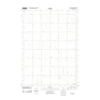 2012 Alcester NW2012 Print · USGSThe rural prairie of Lincoln County is shown here in the early 2010s, defined by a rigid section-line grid and winding stream beds. You can locate the Tuntland Cem or trace the drainage of Saddle Cr and W Brule Cr near Norway Center.
 - 2015 Map of Alcester NW, 2015 Print
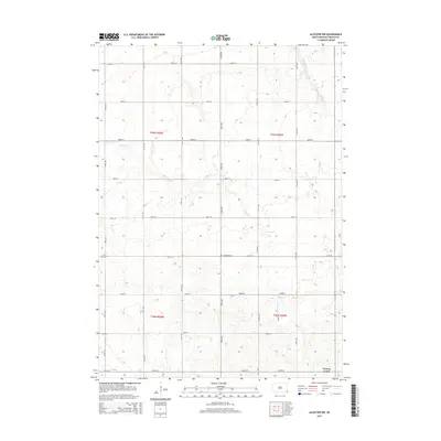 2015 Alcester NW2015 Print · USGSLincoln County farmland is captured here in the mid-2010s, showing a well-ordered landscape of section-line roads and prairie creeks. Researchers can locate the Norway Center settlement and the Tuntland Cem or trace the courses of Saddle Cr and Pattee Cr.
 - 2015 Map of Beresford NE, 2015 Print
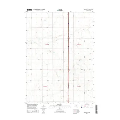 2015 Beresford NE2015 Print · USGSLincoln County farmland is documented here in the mid-2010s, showing the traditional prairie grid and family heritage sites. Genealogists and local historians can locate early burial grounds at Pioneer Cem and Nazareth Cem along the seasonal flows of Saddle Creek.
 - 2015 Map of Canton SW, 2015 Print
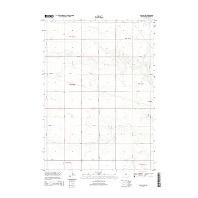 2015 Canton SW2015 Print · USGSLincoln County farmland southwest of Canton appears in high detail during the mid-2010s, showing the intersection of rural life and the prairie landscape. Genealogists and local historians can locate the Forest Hill Cemetery and trace the paths of Beaver Creek and South Beaver Creek.
 - 2015 Map of Worthing, 2015 Print
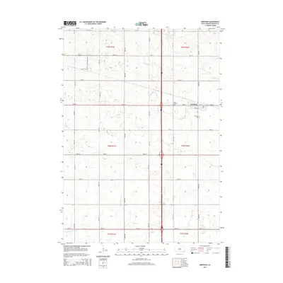 2015 Worthing2015 Print · USGSThe township of Worthing is captured here during its modern growth in the mid-2010s, showing the intersection of agriculture and transit. Genealogists and researchers can locate family plots at Saint Edwards Cem or trace the early paths of Snake Cr.
 - 2017 Map of Worthing, 2017 Print
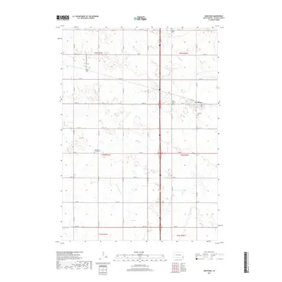 2017 Worthing2017 Print · USGSLincoln County farming communities and local history are documented here in the late twenty-tens. Researchers can trace several family-connected burial grounds, including Faith LaValley Cem and Worthing Cem, alongside agricultural landmarks like Lake Albert.
 - 2017 Map of Alcester NW, 2017 Print
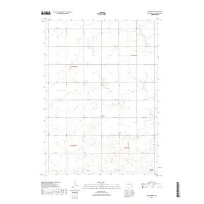 2017 Alcester NW2017 Print · USGSLincoln County farmland in the mid-2010s reveals a traditional grid of section lines and prairie stream beds. Genealogists can locate Tuntland Cem and Romsdal Cem or trace the drainage of Saddle Cr near Norway Center.
 - 2017 Map of Beresford NE, 2017 Print
 2017 Beresford NE2017 Print · USGSLincoln County farmland is documented here in the early twenty-first century, showing the enduring grid of prairie section lines. Genealogists can locate family sites near Skrefsrud Lutheran Cem, Pioneer Church, and Nazareth Cem.
 - 2017 Map of Canton SW, 2017 Print
 2017 Canton SW2017 Print · USGSLincoln County farmland southwest of Canton is mapped in detail here during the late twenty-teens. Genealogists and local researchers can locate family burial plots at Beaver Creek Lutheran Cem, Forest Hill Cem, and Grand Valley Lutheran Cem.
 - 2021 Map of Canton SW, 2021 Print
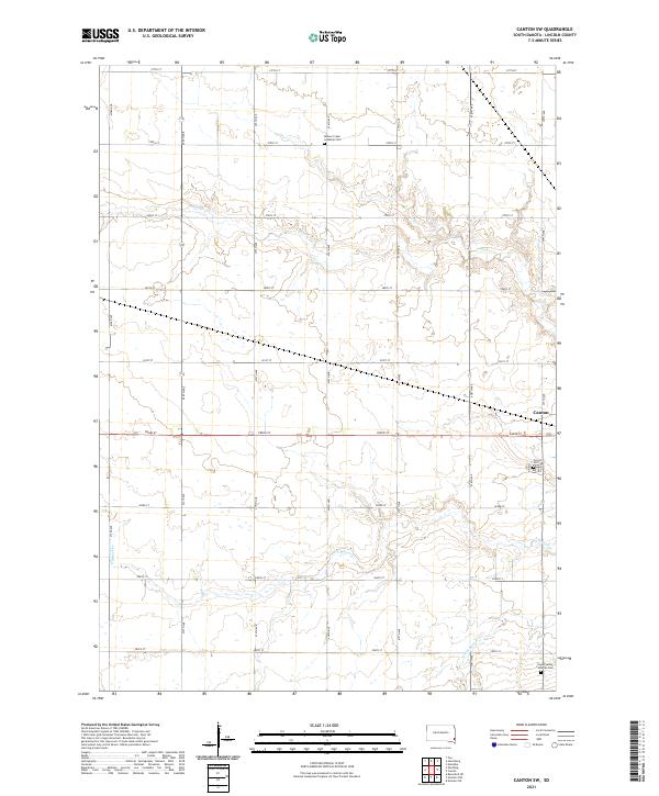 2021 Canton SW2021 Print · USGSLincoln County’s agricultural heartland is documented here in the early twenty-first century, showing the intersection of rural life and natural watercourses. Researchers can locate family landmarks like Beaver Creek Lutheran Cem, Forest Hill Cem, and the winding path of S Beaver Cr.
 - 2021 Map of Alcester NW, 2021 Print
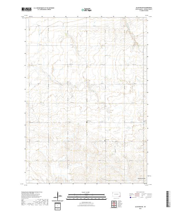 2021 Alcester NW2021 Print · USGSLincoln County farmland is captured here in the early twenty-first century, showing a landscape defined by traditional section-line roads and prairie creeks. Genealogists can locate rural landmarks like Norway Center, Tuntland Cem, and Romsdal Cem among the bends of Saddle Cr.
 - 2021 Map of Worthing, 2021 Print
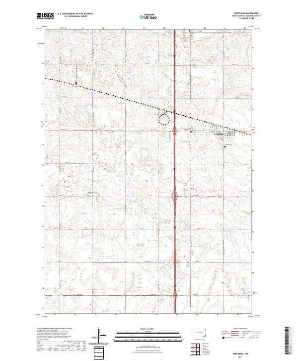 2021 Worthing2021 Print · USGSWorthing and the surrounding Lincoln County prairie are documented here in the early twenty-first century, showing a landscape of precise township grids and agricultural water management. You can trace local history through sites like Mount Olivet Cem, Saint Edwards Cem, and Lake Albert.
 - 2021 Map of Beresford NE, 2021 Print
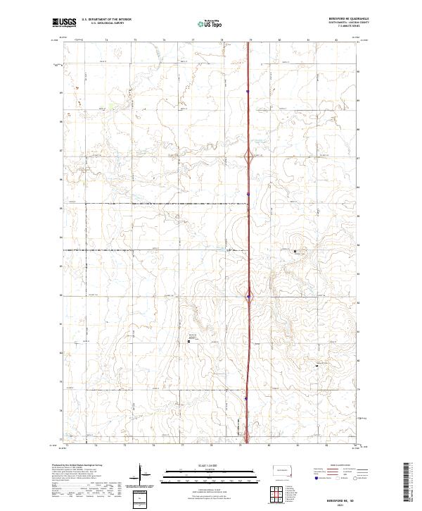 2021 Beresford NE2021 Print · USGSThe rural prairie landscape of Lincoln County appears in high detail during the early 2020s. Genealogists and local historians can locate long-standing community landmarks including Skrefsrud Lutheran Church Cem, Pioneer Cem, and the waters of Haram Cr.
End of results
Showing maps 1-25 of 25
Top cities near Lincoln Township
- Harrisburg historical maps
- Tea historical maps
- Canton historical maps
- Lennox historical maps
- Beresford historical maps
- Worthing historical maps
See more
Frequently asked questions
- What are the different types of historical maps available for Lincoln Township?
- What is the oldest map of Lincoln Township?
- Where can I purchase historical maps of Lincoln Township for my home or office?
- Where can I download high-res historical maps of Lincoln Township?
- Are there historical topographic maps available for Lincoln Township?
- Is there historical aerial imagery available for Lincoln Township?
- Where are historical maps of Lincoln Township sourced from?