Old Maps of Jefferson Township, South Dakota for Metal Detecting
Plan your next treasure hunt with 24 historic maps of Jefferson Township. Find old homesites, ghost towns, trails, and gathering spots that may be lost to time — perfect for identifying promising metal detecting locations.
- Locate forgotten sites: Uncover places like long-lost settlements, abandoned rail lines, or gathering spots.
- Plan better hunts: Use map overlays combined with LiDAR or satellite views to narrow in on historically rich areas.
- Made for detectorists: Thousands of hobbyists use these maps to discover relics, coins, and hidden history.
Use these historic maps to boost your research and find new opportunities beneath the surface of Jefferson Township.
Jefferson Township, SD maps
(24)- 1899 Map of Alexandria
 1899 Alexandria1899 Print · USGSHanson County and the James River valley are captured here at the peak of the late-nineteenth-century rail boom. Genealogists can trace family footprints in early settlements like Rockport, Epiphany, and Alexandria or follow the path of the James River.5 unique versions available
 - 1955 Map of Sioux Falls, 1967 Print
 1955 Sioux Falls1967 Print · USGSThe eastern South Dakota and western Minnesota borderlands come alive in the mid-fifties, showing the vital rail-to-river connections of the era. Genealogists can trace family footprints across townships like Madison and Pipestone, while following the paths of the Big Sioux River and the Chicago and North Western line.3 unique versions available
 - 1958 Map of Sioux Falls
 1958 Sioux Falls1958 Print · USGSThe tri-state borderlands of South Dakota, Minnesota, and Iowa are captured here during the mid-century peak of the regional rail network. Genealogists and historians can trace local landmarks like Augustana Academy, the St Marys Cem, and the path of the Illinois Central through Rock Rapids.
 - 1964 Map of Salem, 1966 Print
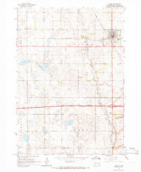 1964 Salem1966 Print · USGSMcCook County is captured in the mid-1960s, centered on the railroad hub of Salem. Local historians can trace early school sites like Herting Sch and family heritage at St Marys Cem or Wildwood Cem.
 - 1964 Map of Bridgewater East, 1966 Print
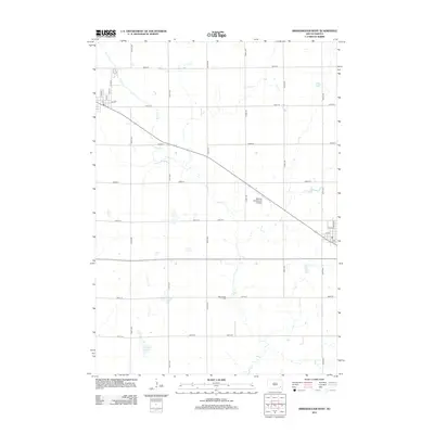
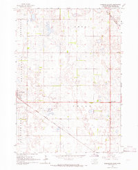 1964 Bridgewater East1966 Print · USGSMcCook County is shown at the height of its mid-century rural development, anchored by the town of Bridgewater. Genealogists and historians can trace the locations of St Stephens Cem, early schoolhouses, and the diagonal Chicago Milwaukee St Paul and Pacific rail line.
 - 1973 Map of Bridgewater West, 1978 Print
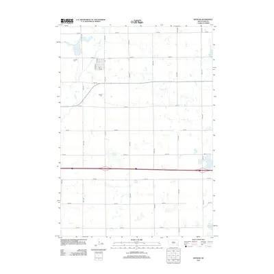
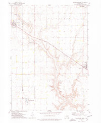 1973 Bridgewater West1978 Print · USGSThis South Dakota prairie landscape in the 1970s reveals the intersection of the railroad and rural life along the Hanson and McCook County line. Researchers can locate family sites like Rasmussen Cem or trace the path of the Chicago Milwaukee St Paul and Pacific railroad.
 - 1973 Map of Spencer, 1978 Print
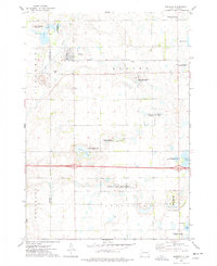 1973 Spencer1978 Print · USGSSpencer and the surrounding prairie townships are captured here in the early 1970s, showcasing a landscape of rail-fed commerce and extensive waterfowl conservation. Researchers can locate family landmarks like Lakeside Cem, the local QUARRY, and the Chicago and North Western rail corridor.
 - 1985 Map of Salem
 1985 Salem1985 Print · USGSEastern South Dakota’s prairie landscape is showcased in the mid-eighties, highlighting a region defined by agricultural colonies and rail-linked towns. Genealogists and historians can trace the foundations of Rosedale Colony, the Buffalo Trading Post, and early hubs like Salem.
 - 2012 Map of Bridgewater West, 2012 Print
 2012 Bridgewater West2012 Print · USGSCovers Jefferson Township, including Bridgewater, Emery, and other nearby areas
 - 2012 Map of Spencer, 2012 Print
 2012 Spencer2012 Print · USGSCovers Jefferson Township, including Spencer, Edgerton Township, and other nearby areas
 - 2012 Map of Bridgewater East, 2012 Print
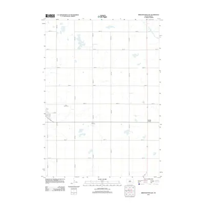 2012 Bridgewater East2012 Print · USGSCovers Jefferson Township, including Bridgewater, Emery Township, and other nearby areas
 - 2012 Map of Salem, 2012 Print
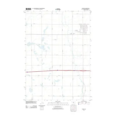 2012 Salem2012 Print · USGSCovers Jefferson Township, including Salem, Emery Township, and other nearby areas
 - 2015 Map of Salem, 2015 Print
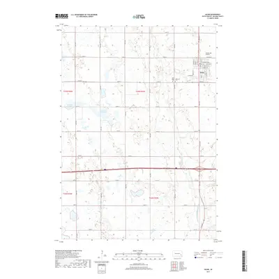
 2015 Salem2015 Print · USGSCovers Jefferson Township, including Salem, Emery Township, and other nearby areas
 - 2015 Map of Bridgewater East, 2015 Print
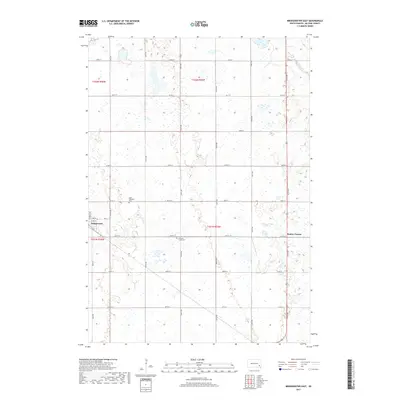
 2015 Bridgewater East2015 Print · USGSCovers Jefferson Township, including Bridgewater, Emery Township, and other nearby areas
 - 2015 Map of Bridgewater West, 2015 Print
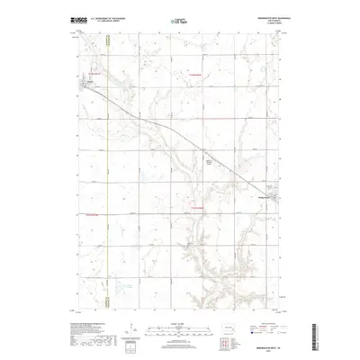
 2015 Bridgewater West2015 Print · USGSCovers Jefferson Township, including Bridgewater, Emery, and other nearby areas
 - 2015 Map of Spencer, 2015 Print
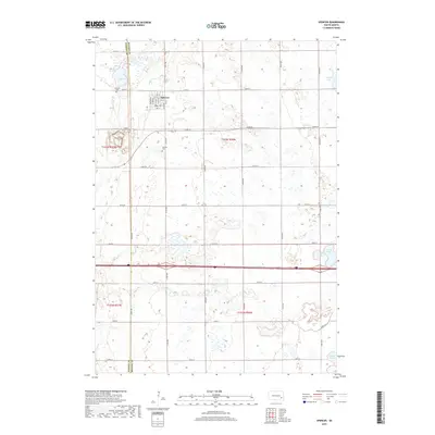
 2015 Spencer2015 Print · USGSCovers Jefferson Township, including Spencer, Edgerton Township, and other nearby areas
 - 2017 Map of Bridgewater West, 2017 Print
 2017 Bridgewater West2017 Print · USGSCovers Jefferson Township, including Bridgewater, Emery, and other nearby areas
 - 2017 Map of Spencer, 2017 Print
 2017 Spencer2017 Print · USGSCovers Jefferson Township, including Spencer, Edgerton Township, and other nearby areas
 - 2017 Map of Bridgewater East, 2017 Print
 2017 Bridgewater East2017 Print · USGSCovers Jefferson Township, including Bridgewater, Emery Township, and other nearby areas
 - 2017 Map of Salem, 2017 Print
 2017 Salem2017 Print · USGSCovers Jefferson Township, including Salem, Emery Township, and other nearby areas
 - 2021 Map of Bridgewater West, 2021 Print
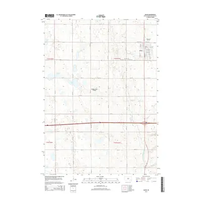
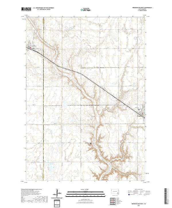 2021 Bridgewater West2021 Print · USGSThe agricultural heartland of Hanson and McCook Counties comes into focus in this modern survey of the South Dakota prairie. Genealogists and local historians can trace the rural landscape through Rasmussen Cemetery, the streets of Emery, and the banks of Wolf Creek.
 - 2021 Map of Bridgewater East, 2021 Print
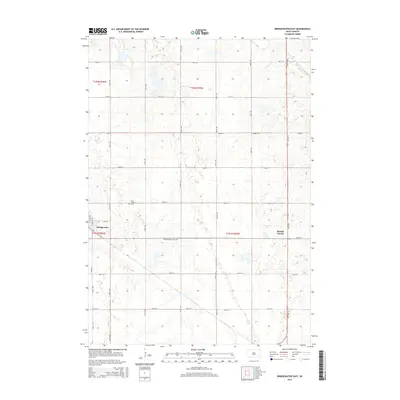
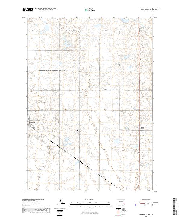 2021 Bridgewater East2021 Print · USGSMcCook County is shown in its modern agricultural form at the start of the 2020s, revealing the intersection of rural life and historic community sites. Genealogists can trace local roots at Saint Stephen's Cem and Pleasant Prairie Cem or examine the town layout of Bridgewater.
 - 2021 Map of Spencer, 2021 Print
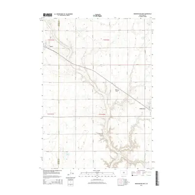
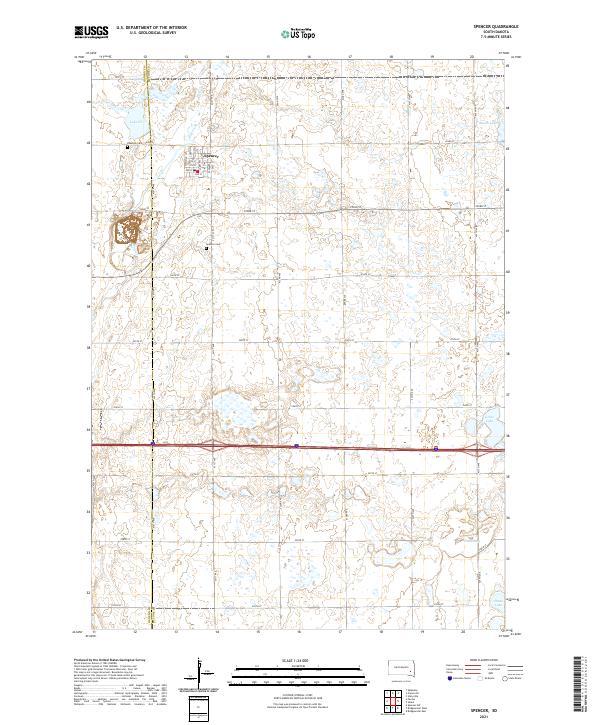 2021 Spencer2021 Print · USGSThe prairie town of Spencer and the rural borders of McCook and Hanson counties are captured in this modern survey. Genealogists and local historians can trace burial sites at Spencer Cem or locate family homesteads near Lake Eli and Wolf Creek.
 - 2021 Map of Salem, 2021 Print
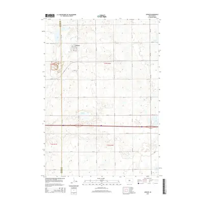
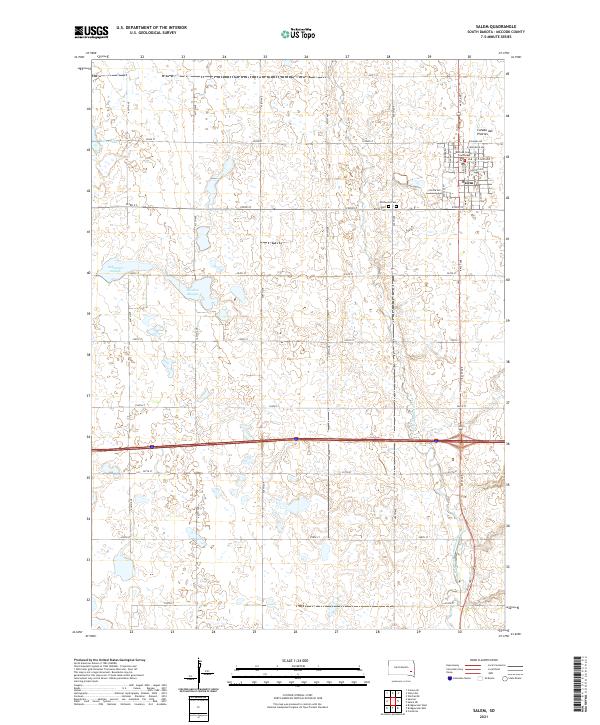 2021 Salem2021 Print · USGSMcCook County is shown at its modern peak in this 2021 survey of the eastern South Dakota plains. Genealogists and local historians can trace family plots at Wildwood Cem or locate the civic center at the Mc Cook County Courthouse.
End of results
Showing maps 1-24 of 24
Top cities near Jefferson Township
- Salem historical maps
- Alexandria historical maps
- Bridgewater historical maps
- Emery historical maps
- Spencer historical maps
- Clayton historical maps
See more
Frequently asked questions
- What are the different types of historical maps available for Jefferson Township?
- What is the oldest map of Jefferson Township?
- Where can I purchase historical maps of Jefferson Township for my home or office?
- Where can I download high-res historical maps of Jefferson Township?
- Are there historical topographic maps available for Jefferson Township?
- Is there historical aerial imagery available for Jefferson Township?
- Where are historical maps of Jefferson Township sourced from?